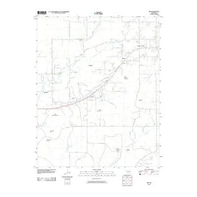
2010 Map of Zeb
USGS Topo · Published 2010About this map
Metory and Woodall anchor this rural landscape in Cherokee County, where the Ozark foothills meet the plains of eastern Oklahoma. The terrain is defined by a dense network of springs and branches, including Woodall Spring, Black Valley Spring, and the Metory Spring which feeds into Bobtail Creek. Significant topographic relief is provided by local landmarks like Bob Warren Mountain, Rider Mountain, and Red Berry Mountain, while the southern reaches descend into Buzzard Roost Hollow and Gibson Hollow near Greenleaf Creek.
Find a feature on this map
69 named features on this map. Tap any name to fly to it.
Don’t see what you’re looking for? This feature index may not catch every label — zoom into the map to look around manually.
Map Details
Editions of this 2010 Zeb Map
This is the sole edition of this map. No revisions or reprints were ever made.
Other maps of this area

1898 · Tahlequah
USGS Topo · 1:125,000

1901 · Muscogee
USGS Topo · 1:125,000

1901 · Tahlequah
USGS Topo · 1:125,000

1905 · Muscogee
USGS Topo · 1:125,000

1905 · Tahlequah
USGS Topo · 1:125,000

1946 · Fort Smith
USGS Topo · 1:250,000

1948 · Hulbert
USGS Topo · 1:62,500

1948 · Webbers Falls
USGS Topo · 1:62,500

1950 · Hulbert
USGS Topo · 1:62,500

1950 · Webbers Falls
USGS Topo · 1:62,500