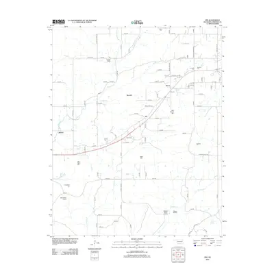
2012 Map of Zeb
USGS Topo · Published 2012About this map
Eureka Valley and the surrounding Cherokee County highlands are documented here through an intricate network of rural roads and water sources. The landscape is characterized by a mix of named mountain ridges and creek-fed valleys, including Rider Mtn and Bob Warren Mtn. Local genealogy is particularly well-represented by a high density of family and community burial grounds such as Steeley Cem, Hendricks Cem, and Holland Cem, which reflect the deep roots of the area's residents.
Find a feature on this map
95 named features on this map. Tap any name to fly to it.
Don’t see what you’re looking for? This feature index may not catch every label — zoom into the map to look around manually.
Map Details
Editions of this 2012 Zeb Map
This is the sole edition of this map. No revisions or reprints were ever made.
Other maps of this area

1898 · Tahlequah
USGS Topo · 1:125,000

1901 · Muscogee
USGS Topo · 1:125,000

1901 · Tahlequah
USGS Topo · 1:125,000

1905 · Muscogee
USGS Topo · 1:125,000

1905 · Tahlequah
USGS Topo · 1:125,000

1946 · Fort Smith
USGS Topo · 1:250,000

1948 · Hulbert
USGS Topo · 1:62,500

1948 · Webbers Falls
USGS Topo · 1:62,500

1950 · Hulbert
USGS Topo · 1:62,500

1950 · Webbers Falls
USGS Topo · 1:62,500