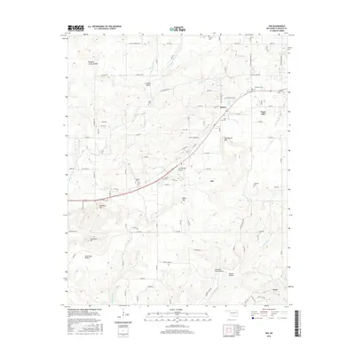
2016 Map of Zeb
USGS Topo · Published 2016About this map
Park Hill and Metory sit at the center of this rural Cherokee County landscape, where the foothills of the Ozarks meet the drainage of the Illinois River. The area is defined by a series of prominent elevations including Rider Mtn and Bob Warren Mtn, interspersed with fertile openings like Wild Horse Prairie. Settlement patterns follow the winding paths of Mill Cr and Greenleaf Cr, with smaller communities like Eureka Valley and Zeb established along the secondary road network. Genealogists will find a wealth of local history preserved in the numerous family and community burial grounds, such as Hendricks Cem, Lowrey Cem, and Steeley Cem. The presence of several named springs, including Woodall Spring and White Man Spring, points to the traditional importance of reliable water sources in this upland terrain during the mid-20th century.
Find a feature on this map
99 named features on this map. Tap any name to fly to it.
Don’t see what you’re looking for? This feature index may not catch every label — zoom into the map to look around manually.
Map Details
Editions of this 2016 Zeb Map
This is the sole edition of this map. No revisions or reprints were ever made.
Other maps of this area

1898 · Tahlequah
USGS Topo · 1:125,000

1901 · Muscogee
USGS Topo · 1:125,000

1901 · Tahlequah
USGS Topo · 1:125,000

1905 · Muscogee
USGS Topo · 1:125,000

1905 · Tahlequah
USGS Topo · 1:125,000

1946 · Fort Smith
USGS Topo · 1:250,000

1948 · Hulbert
USGS Topo · 1:62,500

1948 · Webbers Falls
USGS Topo · 1:62,500

1950 · Hulbert
USGS Topo · 1:62,500

1950 · Webbers Falls
USGS Topo · 1:62,500