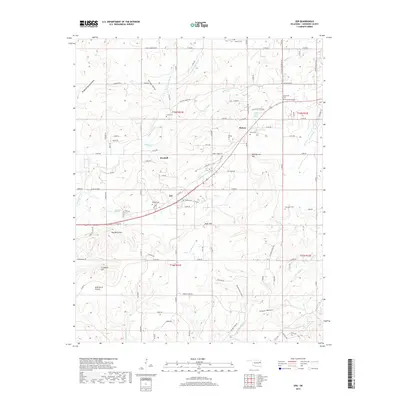
2019 Map of Zeb
USGS Topo · Published 2019About this map
Metory, Woodall, and Zeb anchor this Cherokee County landscape, where the terrain transitions from the elevations of Bob Warren Mtn and Red Berry Mtn to the drainage of Mill Cr. Numerous small cemeteries are distributed across the township lines of T15N and T16N, including Lowrey Cem, Holland Cem, and Price Cem, providing a dense network of points for genealogical study. The area is defined by its water sources, from Woodall Spring to the larger flow of Bayou Manard in the west and Pettit Cr in the southeast. A complex grid of section roads and smaller paths like Stick Ross Mountain Rd and S Burnt Cabin Rd connect these scattered settlements, tracing a rural development pattern that persists into the 21st century.
Find a feature on this map
103 named features on this map. Tap any name to fly to it.
Don’t see what you’re looking for? This feature index may not catch every label — zoom into the map to look around manually.
Map Details
Editions of this 2019 Zeb Map
This is the sole edition of this map. No revisions or reprints were ever made.
Other maps of this area

1898 · Tahlequah
USGS Topo · 1:125,000

1901 · Muscogee
USGS Topo · 1:125,000

1901 · Tahlequah
USGS Topo · 1:125,000

1905 · Muscogee
USGS Topo · 1:125,000

1905 · Tahlequah
USGS Topo · 1:125,000

1946 · Fort Smith
USGS Topo · 1:250,000

1948 · Hulbert
USGS Topo · 1:62,500

1948 · Webbers Falls
USGS Topo · 1:62,500

1950 · Hulbert
USGS Topo · 1:62,500

1950 · Webbers Falls
USGS Topo · 1:62,500