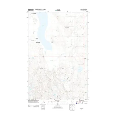
2013 Map of Zerkel
USGS Topo · Published 2013About this map
Minerva and Zerkel anchor the eastern edge of this landscape in Clearwater County, defined by the winding course of the Wild Rice River. The region is a dense network of glacial water bodies and wetlands, including Lower Rice Lake and smaller basins like Buckboard Lake, Blakely Lake, and Rockstad Lake. This area reflects a long history of water-based access and recreation, evidenced by numerous named points along the western shorelines such as Bonga Landing, Big Bear Landing, Bush Landing, and Ponsford Landing.
Find a feature on this map
32 named features on this map. Tap any name to fly to it.
Don’t see what you’re looking for? This feature index may not catch every label — zoom into the map to look around manually.
Map Details
Editions of this 2013 Zerkel Map
This is the sole edition of this map. No revisions or reprints were ever made.
Other maps of this area

1954 · Bemidji
USGS Topo · 1:250,000

1957 · Bemidji
USGS Topo · 1:250,000

1958 · Bemidji
USGS Topo · 1:250,000

1969 · Ebro
USGS Topo · 1:24,000

1969 · Roy Lake
USGS Topo · 1:24,000

1969 · Tulaby Lake
USGS Topo · 1:24,000

1969 · Anchor Hill
USGS Topo · 1:24,000

1969 · Long Lost Lake
USGS Topo · 1:24,000
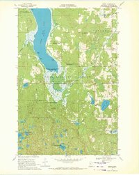
1969 · Zerkel
USGS Topo · 1:24,000

1969 · Heart Lake
USGS Topo · 1:24,000