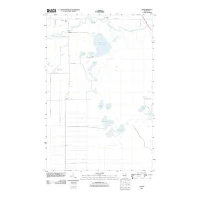
2010 Map of Zim
USGS Topo · Published 2010About this map
The Saint Louis River snakes through the northern reaches of this Saint Louis County landscape, anchored by the settlement of Forbes and its nearby Forbes Post Office. This 2010 survey highlights the region's industrial footprint, dominated by the massive Eveleth Taconite Tailings Basin and its associated Eveleth Taconite Tailings Dam. These modern industrial features sit alongside the more traditional rural clusters of Zim, Fens, and Peary.
Find a feature on this map
36 named features on this map. Tap any name to fly to it.
Don’t see what you’re looking for? This feature index may not catch every label — zoom into the map to look around manually.
Map Details
Editions of this 2010 Zim Map
This is the sole edition of this map. No revisions or reprints were ever made.
Other maps of this area

1951 · Gilbert
USGS Topo · 1:24,000

1951 · Eveleth
USGS Topo · 1:24,000

1951 · Kirk
USGS Topo · 1:24,000

1951 · Central Lakes
USGS Topo · 1:24,000

1951 · Zim
USGS Topo · 1:24,000

1951 · Casco
USGS Topo · 1:24,000

1954 · Hibbing
USGS Topo · 1:250,000

1956 · Cotton
USGS Topo · 1:24,000

1957 · Hibbing
USGS Topo · 1:250,000

1958 · Hibbing
USGS Topo · 1:250,000