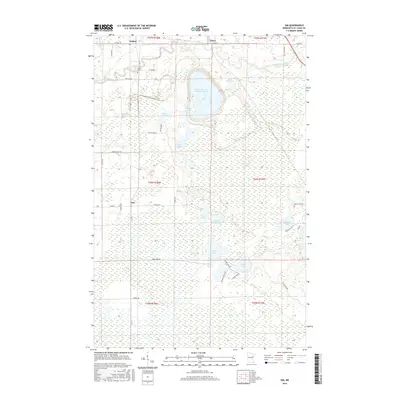
2016 Map of Zim
USGS Topo · Published 2016About this map
The Saint Louis River snakes through this portion of Saint Louis County, defining a landscape of northern wetlands and industrial activity. Near the settlement of Forbes, the Forbes Cem provides a point of interest for genealogists tracing local families in the Iron Range region. The most striking human-made feature is the massive Eveleth Taconite Tailings Basin, which dominates the central terrain and reflects the area's deep ties to the mining industry.
Find a feature on this map
44 named features on this map. Tap any name to fly to it.
Don’t see what you’re looking for? This feature index may not catch every label — zoom into the map to look around manually.
Map Details
Editions of this 2016 Zim Map
This is the sole edition of this map. No revisions or reprints were ever made.
Other maps of this area

1951 · Gilbert
USGS Topo · 1:24,000

1951 · Eveleth
USGS Topo · 1:24,000

1951 · Kirk
USGS Topo · 1:24,000

1951 · Central Lakes
USGS Topo · 1:24,000

1951 · Zim
USGS Topo · 1:24,000

1951 · Casco
USGS Topo · 1:24,000

1954 · Hibbing
USGS Topo · 1:250,000

1956 · Cotton
USGS Topo · 1:24,000

1957 · Hibbing
USGS Topo · 1:250,000

1958 · Hibbing
USGS Topo · 1:250,000