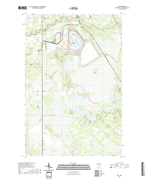
2022 Map of Zim
USGS Topo · Published 2022About this map
Forbes and the nearby Forbes Cem anchor the northern landscape of this St. Louis County quadrangle, where the meandering Saint Louis River cuts through the Minnesota wilderness. The industrial footprint of the Iron Range is clearly visible at the massive Eveleth Taconite Tailings Basin, a significant engineering feature that dominates the central terrain north of the Twin Lakes.
Find a feature on this map
44 named features on this map. Tap any name to fly to it.
Don’t see what you’re looking for? This feature index may not catch every label — zoom into the map to look around manually.
Map Details
Editions of this 2022 Zim Map
This is the sole edition of this map. No revisions or reprints were ever made.
Other maps of this area

1951 · Gilbert
USGS Topo · 1:24,000

1951 · Eveleth
USGS Topo · 1:24,000

1951 · Kirk
USGS Topo · 1:24,000

1951 · Central Lakes
USGS Topo · 1:24,000

1951 · Zim
USGS Topo · 1:24,000

1951 · Casco
USGS Topo · 1:24,000

1954 · Hibbing
USGS Topo · 1:250,000

1956 · Cotton
USGS Topo · 1:24,000

1957 · Hibbing
USGS Topo · 1:250,000

1958 · Hibbing
USGS Topo · 1:250,000