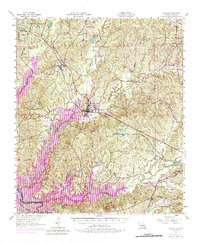
1957 Map of Zwolle
USGS Topo · Published 1983About this map
Sabine Parish landscape underwent a significant transformation as the waters of the Toledo Bend Reservoir began to reshape the western border of Louisiana. This 1957 survey, with revisions from 1969, captures the region at a pivotal moment when the vast timberlands of the Sabine National Forest met new inundation zones along the Sabine River. The industrial backbone of the area is defined by the Kansas City Southern railroad, which links the settlements of Noble and Zwolle through a terrain dotted with oil wells. Local heritage is anchored by dispersed rural landmarks such as Belmont Sch and the Zwolle Cem. The map provides a detailed view of the drainage network including Bayou La Nana and San Miguel Creek, alongside early infrastructure like the Blue Lookout Tower and Spring Station.
Find a feature on this map
39 named features on this map. Tap any name to fly to it.
Don’t see what you’re looking for? This feature index may not catch every label — zoom into the map to look around manually.
Map Details
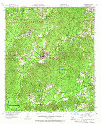
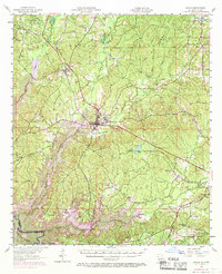
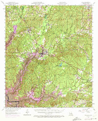
Editions of this 1957 Zwolle Map
4 editions found
Other maps of this area

1938 · Hollis Creek
USGS Topo · 1:31,680

1941 · Zwolle
USGS Topo · 1:62,500

1941 · Pelican
USGS Topo · 1:62,500

1942 · Many
USGS Topo · 1:62,500

1942 · Florien
USGS Topo · 1:62,500

1943 · Many
USGS Topo · 1:62,500

1943 · Pleasant Hill
USGS Topo · 1:62,500

1944 · Negreet
USGS Topo · 1:62,500

1944 · Logansport
USGS Topo · 1:62,500

1944 · Patroon
USGS Topo · 1:62,500