2000s (21st Century) Maps of Walker County, Alabama
Explore 124 historic maps of Walker County from the 2000s (21st Century). These maps offer a rare glimpse into what life looked like during the 2000s — showing old roads, neighborhoods, homes, and landmarks that have changed or disappeared over time.
Whether you're researching your family's past, planning a metal detecting trip, or studying how Walker County's landscape evolved across the 2000s, these high-resolution maps are a powerful tool for exploring the history of this region.
- Focus on a specific era: All maps on this page are from the 2000s, giving you a focused view of this time period.
- See what’s changed: Compare century-old streets, trails, and buildings to today's modern landscape using overlays and satellite layers.
- Research with precision: Use these maps for genealogy, historical research, land use analysis, or educational projects.
- View, download, or print: Maps are fully viewable online in high resolution, and can be downloaded or printed for your own records.
Start exploring Walker County's history through authentic maps from the 2000s. This is your window into the past.
Walker County, AL maps
(124)- 2000 Map of Arley, 2003 Print
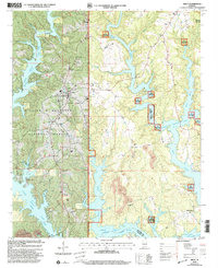 2000 Arley2003 Print · USGSArley sat at the edge of the Bankhead National Forest at the turn of the millennium, overlooking the flooded valleys of the Sipsey Fork. Genealogists and local historians can locate family sites at Mount Hope Cemetery or Old Bethel Church and trace the area's transition from timberland to recreation.
 - 2000 Map of Sunlight, 2003 Print
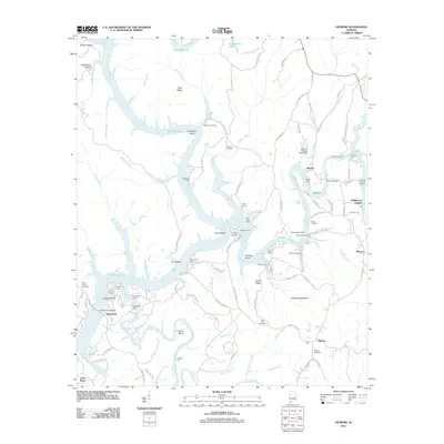
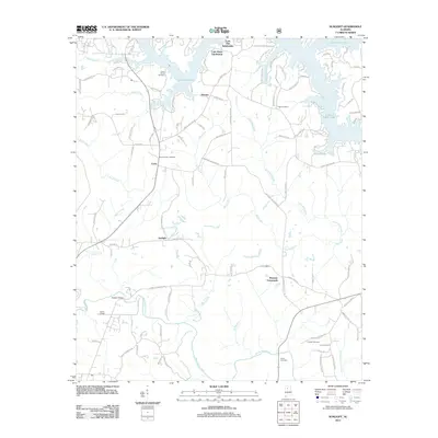
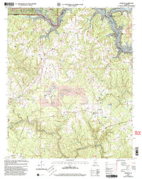 2000 Sunlight2003 Print · USGSWalker County at the turn of the millennium shows a landscape defined by the deep waters of Lewis Smith Lake and active coal extraction. Researchers can locate rural landmarks like Sunlight, Burrows Crossroads, and various family-named sites such as Herman Cem.
 - 2000 Map of Nauvoo, 2003 Print
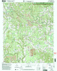 2000 Nauvoo2003 Print · USGSNear the turn of the millennium, this portion of Walker County shows the intersection of deep coal mining and protected national forest land. Researchers can trace rural community life through New Oak Grove Ch, Leonard Chapel, and early school sites like Rose Hill Sch.
 - 2000 Map of Manchester, 2003 Print
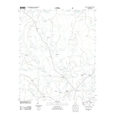
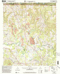 2000 Manchester2003 Print · USGSWalker County at the start of the new millennium shows a landscape defined by the William B Bankhead National Forest and active industry. Researchers can locate family landmarks like Old Bennett Cem or trace the mining history near Marigold and Brakefield Bend.
 - 2011 Map of Gilmore, 2011 Print
 2011 Gilmore2011 Print · USGSCovers Walker County, including Driftwood, Alliance, and other nearby areas
 - 2011 Map of Arley, 2011 Print
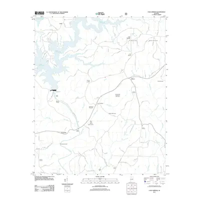
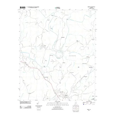
 2011 Arley2011 Print · USGSCovers Walker County, including Arley, Wilson Bend, and other nearby areas
 - 2011 Map of Cold Springs, 2011 Print
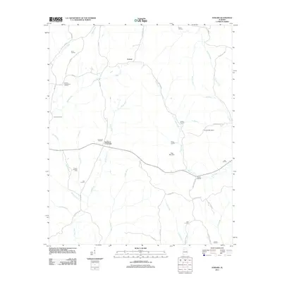
 2011 Cold Springs2011 Print · USGSCovers Walker County, including Cold Springs, Powellville, and other nearby areas
 - 2011 Map of Nauvoo, 2011 Print
 2011 Nauvoo2011 Print · USGSCovers Walker County, including Carbon Hill, Nauvoo, and other nearby areas
 - 2011 Map of Manchester, 2011 Print
 2011 Manchester2011 Print · USGSCovers Walker County, including Jasper, Thach, and other nearby areas
 - 2011 Map of Sunlight, 2011 Print
 2011 Sunlight2011 Print · USGSCovers Walker County, including Jasper, Lake Shore Subdivision, and other nearby areas
 - 2011 Map of Creel, 2011 Print
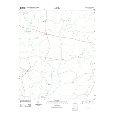
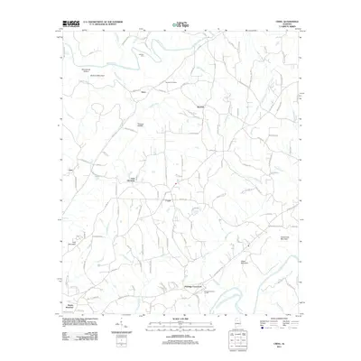 2011 Creel2011 Print · USGSCovers Walker County, including Hayden, York Mountain, and other nearby areas
 - 2011 Map of Tutwiler School, 2011 Print
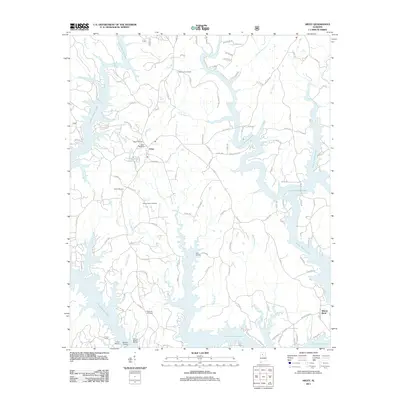
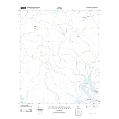 2011 Tutwiler School2011 Print · USGSCovers Walker County, including Browntown, Three Forks, and other nearby areas
 - 2011 Map of Carbon Hill, 2011 Print
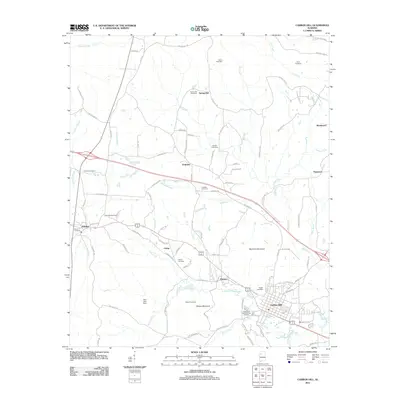 2011 Carbon Hill2011 Print · USGSCovers Walker County, including Carbon Hill, Kansas, and other nearby areas
 - 2011 Map of Parrish, 2011 Print
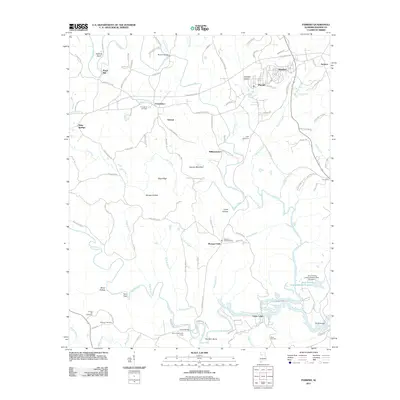 2011 Parrish2011 Print · USGSCovers Walker County, including Parrish, Oakman, and other nearby areas
 - 2011 Map of Dora, 2011 Print
 2011 Dora2011 Print · USGSCovers Walker County, including Birmingham, Adamsville, and other nearby areas
 - 2011 Map of Townley, 2011 Print
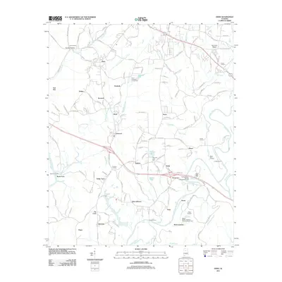
 2011 Townley2011 Print · USGSCovers Walker County, including Carbon Hill, Hilliard, and other nearby areas
 - 2011 Map of Glen Allen, 2011 Print
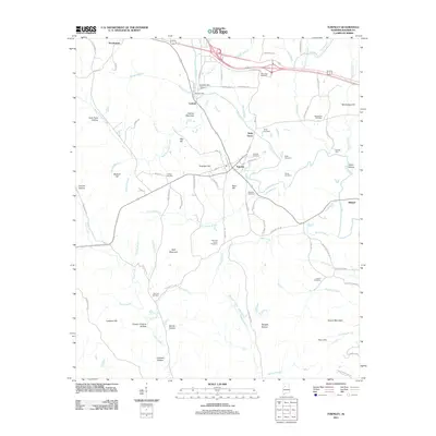
 2011 Glen Allen2011 Print · USGSCovers Walker County, including Winfield, Glen Allen, and other nearby areas
 - 2011 Map of Goodsprings, 2011 Print
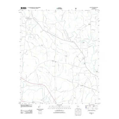
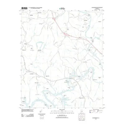 2011 Goodsprings2011 Print · USGSCovers Walker County, including Cordova, High Level, and other nearby areas
 - 2011 Map of Cordova, 2011 Print
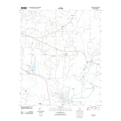 2011 Cordova2011 Print · USGSCovers Walker County, including Jasper, Cordova, and other nearby areas
 - 2011 Map of Berry, 2011 Print
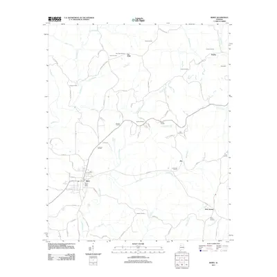 2011 Berry2011 Print · USGSCovers Walker County, including Berry, Pendley, and other nearby areas
 - 2011 Map of Sipsey, 2011 Print
 2011 Sipsey2011 Print · USGSCovers Walker County, including Sumiton, Dora, and other nearby areas
 - 2011 Map of Hubbertville, 2011 Print
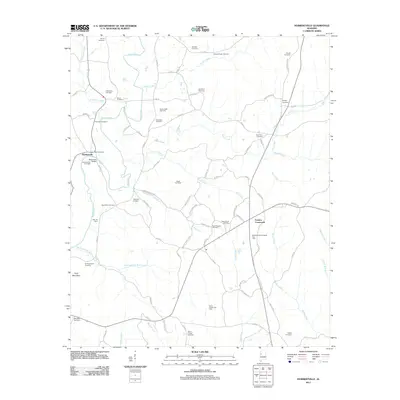 2011 Hubbertville2011 Print · USGSCovers Walker County, including Glen Allen, Hubbertville, and other nearby areas
 - 2011 Map of Jasper, 2011 Print
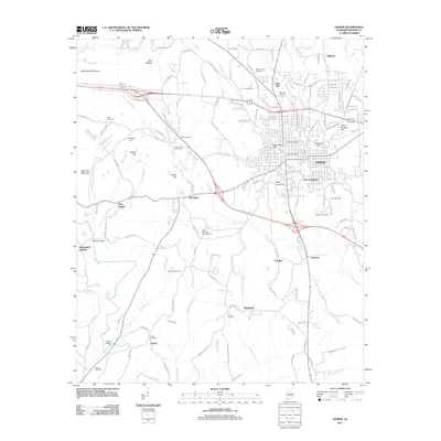 2011 Jasper2011 Print · USGSCovers Walker County, including Jasper, Bankhead, and other nearby areas
 - 2011 Map of Howard, 2011 Print
 2011 Howard2011 Print · USGSCovers Walker County, including Carbon Hill, Howard, and other nearby areas
 - 2011 Map of Wiley, 2011 Print
 2011 Wiley2011 Print · USGSCovers Walker County, including Sandtown, Wiley, and other nearby areas
Showing maps 1-25 of 124
Top cities of Walker County
- Jasper historical maps
- Sumiton historical maps
- Dora historical maps
- Carbon Hill historical maps
- Cordova historical maps
- Parrish historical maps
See more
Frequently asked questions
- What are the different types of historical maps available for Walker County?
- What is the oldest map of Walker County?
- Where can I purchase historical maps of Walker County for my home or office?
- Where can I download high-res historical maps of Walker County?
- Are there historical topographic maps available for Walker County?
- Is there historical aerial imagery available for Walker County?
- Where are historical maps of Walker County sourced from?