2010s Maps of Walker County, Alabama
Explore 72 historic maps of Walker County from the 2010s. These maps offer a rare glimpse into what life looked like during the 2010s — showing old roads, neighborhoods, homes, and landmarks that have changed or disappeared over time.
Whether you're researching your family's past, planning a metal detecting trip, or studying how Walker County's landscape evolved across the 2010s, these high-resolution maps are a powerful tool for exploring the history of this region.
- Focus on a specific era: All maps on this page are from the 2010s, giving you a focused view of this time period.
- See what’s changed: Compare century-old streets, trails, and buildings to today's modern landscape using overlays and satellite layers.
- Research with precision: Use these maps for genealogy, historical research, land use analysis, or educational projects.
- View, download, or print: Maps are fully viewable online in high resolution, and can be downloaded or printed for your own records.
Start exploring Walker County's history through authentic maps from the 2010s. This is your window into the past.
Walker County, AL maps
(72)- 2011 Map of Gilmore, 2011 Print
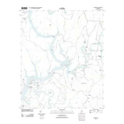 2011 Gilmore2011 Print · USGSThe riverfront communities along the Black Warrior River system come alive in this early twenty-first-century survey. Researchers can trace the legacy of family landings and camps like Heard Shoals, Winters Camp, and the burial sites at Weaver Cemetery.
 - 2011 Map of Arley, 2011 Print
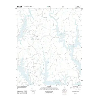 2011 Arley2011 Print · USGSArley and the winding shores of Lewis Smith Lake are documented here in the early twenty-first century. Researchers can locate family landmarks like Meek Cemetery or trace the development of the shoreline near Wilson Bend and Duncan Bridge.
 - 2011 Map of Cold Springs, 2011 Print
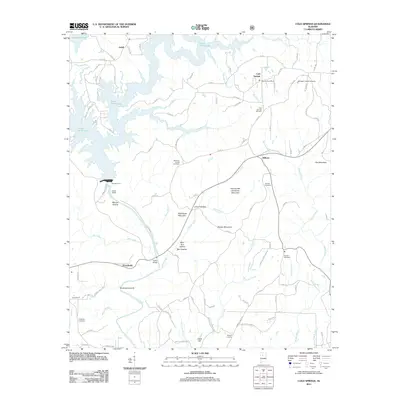 2011 Cold Springs2011 Print · USGSCullman County in the early twenty-first century is defined by the expansive Lewis Smith Lake and its winding rural corridors. Researchers can trace family history through several burial grounds and small settlements like Wilburn, Antioch Cemetery, and the Bremen Post Office.
 - 2011 Map of Nauvoo, 2011 Print
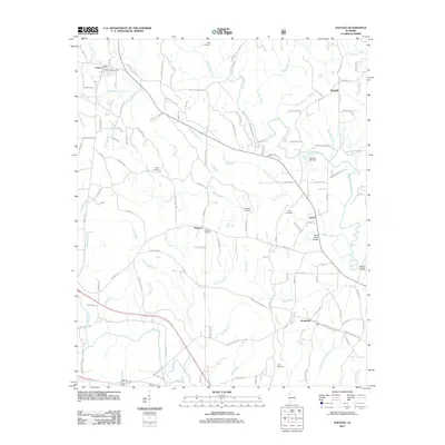 2011 Nauvoo2011 Print · USGSWalker County settlement and river geography are documented here in the early twenty-first century. Researchers can trace family roots through numerous sites like King Cemetery and locate historical landmarks such as Odums Mill Dam or Saragossa.
 - 2011 Map of Manchester, 2011 Print
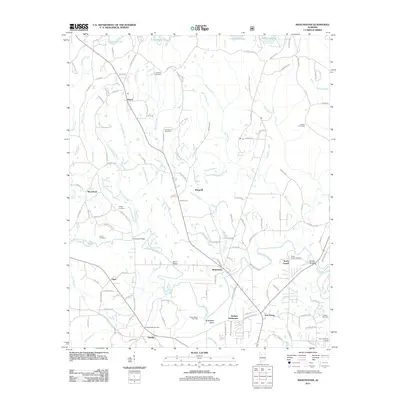 2011 Manchester2011 Print · USGSIn the hills of Walker County just after the first decade of the new millennium, this landscape shows a blend of rural life and energy production. Genealogists and local historians can trace family roots through the Old Bennett Cemetery or locate landmarks like the Russell Fire Tower and Johnsey Bridge.
 - 2011 Map of Sunlight, 2011 Print
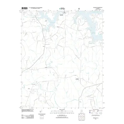 2011 Sunlight2011 Print · USGSWalker County at the beginning of the twenty-first century shows a landscape where rural crossroads meet modern lakeside development. Researchers can trace family history at Tidwell Cemetery or Mount Vernon Cemetery and locate older settlements like Sunlight and Marylee.
 - 2011 Map of Creel, 2011 Print
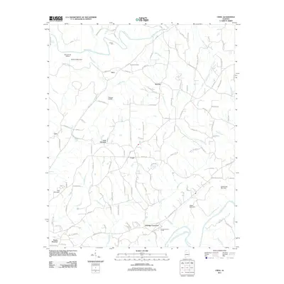 2011 Creel2011 Print · USGSThe forks of the river and mountain ridges defined this Alabama landscape in the early twenty-first century. Researchers can trace the rural road network connecting Sloan, Corner, and Red Hill or locate landmarks like Harmony Cemetery.
 - 2011 Map of Tutwiler School, 2011 Print
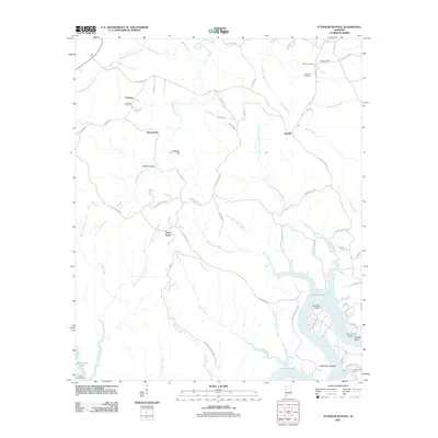 2011 Tutwiler School2011 Print · USGSWalker County's rural uplands and the winding reaches of the Black Warrior River appear here in the early twenty-first century. Genealogists and local historians can trace family locations near Fairview Cemetery, the heights of High Hill Fire Tower, or the riverside landings at Humber Bend.
 - 2011 Map of Carbon Hill, 2011 Print
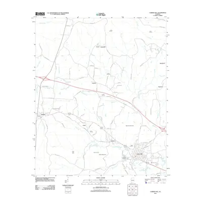 2011 Carbon Hill2011 Print · USGSWalker County at the dawn of the 2010s shows a landscape of small hill towns and industrial heritage. Researchers can trace family roots through numerous sites like Shiloh Cemetery or explore the geography of Slicklizzard and the Carbon Hill National Fish Hatchery.
 - 2011 Map of Parrish, 2011 Print
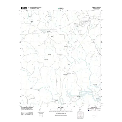 2011 Parrish2011 Print · USGSWalker County at the start of the 2010s shows a landscape where industrial footprints and historic settlements meet. Trace family history at Providence and Gilchrist Cemetery, or locate old community hubs like Parrish, Standard, and Gayosa.
 - 2011 Map of Dora, 2011 Print
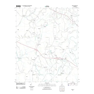 2011 Dora2011 Print · USGSThe mining and river settlements of Jefferson and Walker Counties are captured here during a period of modern industrial transition. Researchers can locate family landmarks like Shanghai Cemetery and historic river crossings such as Long Shoal Ford and Reeds Ferry.
 - 2011 Map of Townley, 2011 Print
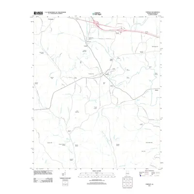 2011 Townley2011 Print · USGSWalker County during the early twenty-first century reveals a landscape shaped by narrow hollows and historic mill sites. Genealogists can locate family landmarks like Boshell's Mill or trace ancestral roots at the Manasco Cemetery and Fike and Inman Cemetery.
 - 2011 Map of Glen Allen, 2011 Print
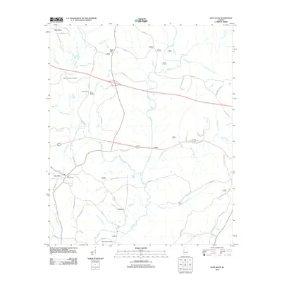 2011 Glen Allen2011 Print · USGSThis rural Alabama landscape at the start of the 2010s shows a dense network of river-bottom settlements and country roads. Genealogists can trace family names through numerous burial sites like Walker Baccus Family Cemetery and Glen Allen Cemetery near the banks of the Sipsey River.
 - 2011 Map of Goodsprings, 2011 Print
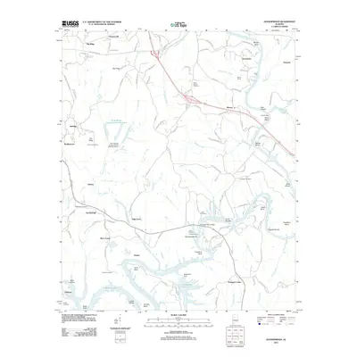 2011 Goodsprings2011 Print · USGSThe Mulberry Fork river valley is captured here in the early twenty-first century, showcasing a landscape shaped by both coal mining and historic river crossings. Researchers can trace family roots at Goodsprings Cemetery or locate old industrial and rail sites like Gorgas and Barney Siding.
 - 2011 Map of Cordova, 2011 Print
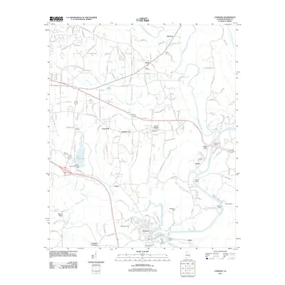 2011 Cordova2011 Print · USGSWalker County's river-driven landscape comes into focus here during the early twenty-first century. Genealogists and historians can trace the development of Cordova and rural outposts like Gardiners Gin or locate family plots at Mount Carmel Cemetery and Sardis Cemetery.
 - 2011 Map of Berry, 2011 Print
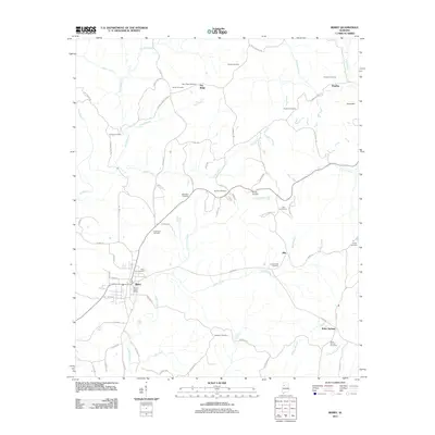 2011 Berry2011 Print · USGSFayette County communities are captured here in the early twenty-first century as they gathered around rural crossroads and river bends. Genealogists can trace family names through numerous burial sites like Bethabara Cemetery and Madison Cemetery or locate the center of town at the Berry Post Office.
 - 2011 Map of Sipsey, 2011 Print
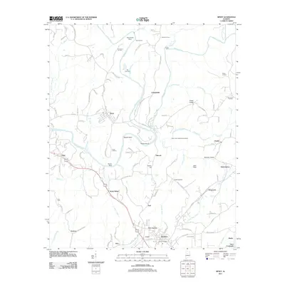 2011 Sipsey2011 Print · USGSWalker County at the start of the 2010s shows a landscape deeply shaped by the Sipsey Fork and Mulberry Fork. Researchers can trace family-named landmarks and old burial sites like Drummond Cemetery, Phillips Shoals, and the settlement of Debardeleben.
 - 2011 Map of Hubbertville, 2011 Print
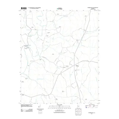 2011 Hubbertville2011 Print · USGSHubbertville and the rural reaches of Fayette County are shown here in the early twenty-first century. Researchers can trace family history through a dense network of burial sites like Rehobeth Cemetery and Hubbertville Cemetery, or locate landmarks such as the Mac-Jer Dairy.
 - 2011 Map of Jasper, 2011 Print
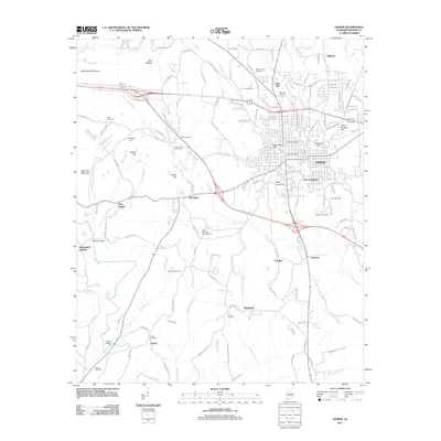 2011 Jasper2011 Print · USGSJasper and its surrounding Walker County communities are documented here during a period of modern growth. Genealogists and local historians can trace burial sites at Oak Hill Cemetery or locate old community hubs like Frisco Quarters and McCollum.
 - 2011 Map of Howard, 2011 Print
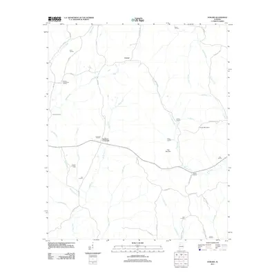 2011 Howard2011 Print · USGSWalker County's rural uplands are shown in detail during the early twenty-first century, featuring the headwaters of the North River. Genealogists and local historians can trace family locations near Studdards Crossroads, Whitley Cemetery, and the Tanyard Creek Gas Field.
 - 2011 Map of Wiley, 2011 Print
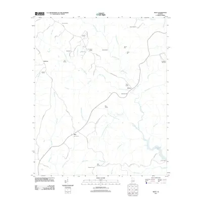 2011 Wiley2011 Print · USGSRural Alabama comes into focus in this 2011 survey, showing the creek valleys and upland ridges of Tuscaloosa County. Researchers can trace ancestral roots through several local burial sites, including Earnest Cemetery and Rock Springs Cemetery.
 - 2011 Map of Oakman, 2011 Print
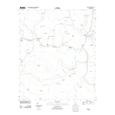 2011 Oakman2011 Print · USGSWalker County during the early twenty-first century reveals a landscape shaped by rural settlements and family heritage. Researchers can trace the lineage of local communities through numerous burial sites like Key Cemetery and landmarks such as the Patton Hill Fire Tower.
 - 2011 Map of Lynn, 2011 Print
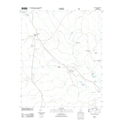 2011 Lynn2011 Print · USGSWinston County, Alabama, is documented here in the early twenty-first century as a landscape of rural settlements and winding creeks. Genealogists and local historians can trace family locations through numerous sites like Wakefield Cemetery, Mount Ararat Cemetery, and the Natural Bridge of Alabama.
 - 2011 Map of Gold Mine, 2011 Print
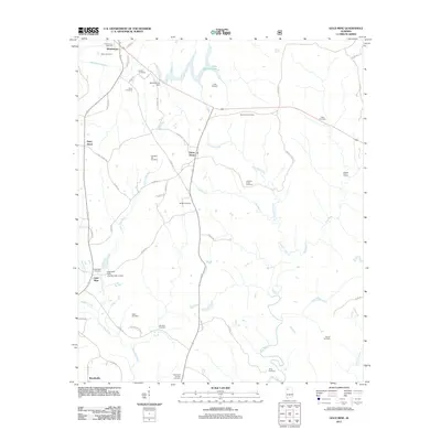 2011 Gold Mine2011 Print · USGSMarion County at the start of the 2010s reveals a rural landscape deeply rooted in its local ancestry and river geography. Genealogists can trace family sites like Old Poplar Springs Cemetery and Bethel Cemetery near settlements such as Sunny Home and Gold Mine.
 - 2014 Map of Glen Allen, 2014 Print
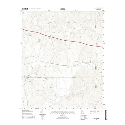 2014 Glen Allen2014 Print · USGSMarion, Fayette, and Walker counties meet in this North Alabama landscape as it appeared in the early twenty-first century. Family history researchers can trace numerous local sites like Walker Baccus Family Cem and the community of Bazemore near the Sipsey River.
Showing maps 1-25 of 72
Top cities of Walker County
- Jasper historical maps
- Sumiton historical maps
- Dora historical maps
- Carbon Hill historical maps
- Cordova historical maps
- Parrish historical maps
See more
Frequently asked questions
- What are the different types of historical maps available for Walker County?
- What is the oldest map of Walker County?
- Where can I purchase historical maps of Walker County for my home or office?
- Where can I download high-res historical maps of Walker County?
- Are there historical topographic maps available for Walker County?
- Is there historical aerial imagery available for Walker County?
- Where are historical maps of Walker County sourced from?