Old Maps of Pilot Point, Alaska for Genealogy
Trace your family roots with 21 historic maps of Pilot Point. These high-res maps reveal old neighborhoods, homesites, landmarks, and streets — helping you uncover where your ancestors lived and how the area evolved over time.
- Explore historic neighborhoods: Identify where your relatives may have lived in the 1800s or 1900s.
- Compare maps over time: Trace the changes in streets, buildings, and landmarks for multi-generational research.
- Perfect for genealogy & ancestry research: Used by family historians and researchers to map out lineage and migration.
These maps are an incredible resource for exploring your personal connection to Pilot Point's past.
Pilot Point, AK maps
(21)- 1943 Map of Ugashik, 1958 Print
 1943 Ugashik1958 Print · USGSThe remote Alaska Peninsula is captured here in the 1940s, showing a wilderness of volcanic peaks and vast coastal drainages. You can trace early 20th-century outposts like Pilot Point and Lee Cabin set against landmarks like Mt Peulik and the waters of Becharof Lake.3 unique versions available
 - 1948 Map of Ugashik, 1954 Print
 1948 Ugashik1954 Print · USGSThe remote reaches of the Alaska Peninsula are documented here during the late 1940s, highlighting the early footprint of coastal settlements and mountain passes. Researchers can trace the layout of Kanatak and Pilot Point or locate isolated landmarks like Lee's Cabin and The Gas Rocks.
 - 1949 Map of Ugashik
 1949 Ugashik1949 Print · USGSThe Alaska Peninsula in the late 1940s reveals a wild landscape of salmon-rich rivers and volcanic peaks. Researchers can trace remote coastal settlements like Pilot Point and Kanatak, or locate landmarks such as Lee's Cabin and The Gas Rocks.2 unique versions available
 - 1951 Map of Bristol Bay
 1951 Bristol Bay1951 Print · USGSBristol Bay and the western edge of the Alaska Peninsula are captured here in the early 1950s, based on earlier reconnaissance and aerial photography. Researchers can trace the shifting coastal geometry of the Tidal Flats and the courses of Cinder River and Reindeer Creek.
 - 1951 Map of Ugashik C-5, 1956 Print
 1951 Ugashik C-51956 Print · USGSThe Alaska Peninsula coastline comes into focus in the early 1950s, documenting the vital fishing outposts of the Bristol Bay region. Researchers can trace the layout of Pilot Point and find industrial landmarks like the Cannery and Water Towers near Ugashik Bay.2 unique versions available
 - 1951 Map of Ugashik C-6, 1956 Print
 1951 Ugashik C-61956 Print · USGSThe Alaska Peninsula coastline appears in the early fifties, defined by the vast waters where Bristol Bay meets the mainland. Map collectors and researchers can trace isolated shoreline structures like the Cabins near Cape Menshikof and the Smoky Point Light.2 unique versions available
 - 1954 Map of Ugashik B-5, 1968 Print
 1954 Ugashik B-51968 Print · USGSThe Alaska Peninsula coast in the mid-fifties shows a vast network of tundra rivers and tidewater flats. Researchers can trace the meandering paths of the King Salmon River and Dog Salmon River near the isolated settlement at Dennis.2 unique versions available
 - 1963 Map of Ugashik B-6, 1967 Print
 1963 Ugashik B-61967 Print · USGSThe Bristol Bay coastline in the early sixties remains a wilderness of shifting tides and river networks. Researchers can trace the paths of the King Salmon River and Cynder River or locate a solitary Cabin along the remote banks.2 unique versions available
 - 1963 Map of Bristol Bay, 1967 Print
 1963 Bristol Bay1967 Print · USGSThe Alaska Peninsula coastline at Bristol Bay is captured here in the early sixties, showing a landscape of coastal marshes and isolated outposts. Trace the locations of Sherry, Alfred, and Hook Lagoon along the banks of the Cinder River and Mud Creek.3 unique versions available
 - 1963 Map of Bristol Bay B-1, 1968 Print
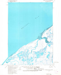 1963 Bristol Bay B-11968 Print · USGSThe remote Alaska Peninsula coastline comes into focus during the early sixties, showing a landscape defined by seasonal camps and winding deltas. Genealogists and historians can locate isolated points like Edith, Tugg, and Roost along the Cinder River.2 unique versions available
 - 1963 Map of Ugashik, 1968 Print
 1963 Ugashik1968 Print · USGSThe Alaska Peninsula in the early sixties reveals a wild coastal landscape of volcanic peaks and isolated maritime settlements. Researchers can trace the layout of Pilot Point and Ugashik or locate landmarks like Greig Light and Mount Peulik.3 unique versions available
 - 1967 Map of Bristol Bay
 1967 Bristol Bay1967 Print · USGSBristol Bay and the Alaska Peninsula coast are captured here in the late sixties, a period of remote maritime surveying. Researchers can trace isolated coastal markers and geography like Hook Lagoon, Cinder River, and the Tidal Flat near Tugg.
 - 2019 Map of Ugashik C-5 NW, 2019 Print
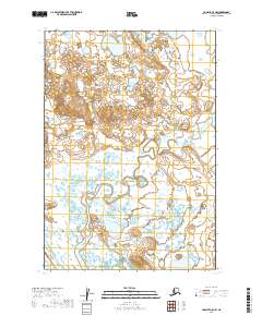 2019 Ugashik C-5 NW2019 Print · USGSThe Alaska Peninsula landscape appears here as a labyrinth of unnamed lakes and waterways during the late 2010s. Researchers can trace the survey boundaries of T28s R51w and T29s R51w across this complex, roadless wetland terrain.
 - 2019 Map of Ugashik B-5 NW, 2019 Print
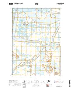 2019 Ugashik B-5 NW2019 Print · USGSWaters and wetlands define the Lake and Peninsula Borough in 2019, capturing a remote landscape of intersecting rivers and bays. Researchers can trace the winding paths of the King Salmon River, Dog Salmon River, and the tidal reaches of Ugashik Bay.
 - 2019 Map of Ugashik C-5 SW, 2019 Print
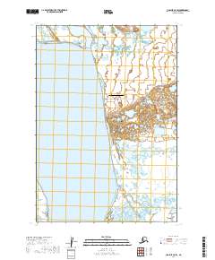 2019 Ugashik C-5 SW2019 Print · USGSThe coastal village of Pilot Point is shown here on the shores of the Alaska Peninsula in the late 2010s. Researchers can trace local infrastructure around Pilot Point, from the Pilot Point Airport to the path of Dago Creek Road along the bay.
 - 2019 Map of Ugashik C-6 SE, 2019 Print
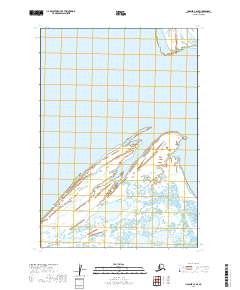 2019 Ugashik C-6 SE2019 Print · USGSCoastal Alaska at the edge of the peninsula is captured in this recent survey of the tidal landscape. Researchers can trace the maritime boundaries of Bristol Bay and identify landmarks like Cape Menshikof and Smoky Point along the shore.
 - 2019 Map of Ugashik B-6 NE, 2019 Print
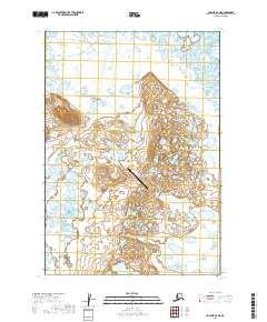 2019 Ugashik B-6 NE2019 Print · USGSThe coastal wetlands of the Alaska Peninsula are captured here in the early twenty-first century, showing a landscape defined by water and aviation. Researchers can locate the Ugashik Bay Airport and trace the course of the King Salmon River.
 - 2019 Map of Ugashik B-6 NW, 2019 Print
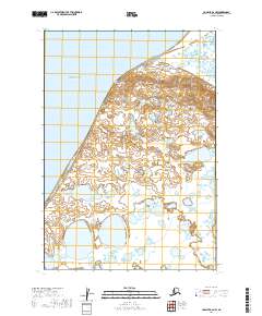 2019 Ugashik B-6 NW2019 Print · USGSThe Alaska Peninsula coastline meets the sea on the eastern edge of the Bering Sea during the late twenty-tens. Researchers can study the isolated terrain near Cape Menshikof and the vast network of tundra ponds bordering Bristol Bay.
 - 2019 Map of Bristol Bay B-1 NE, 2019 Print
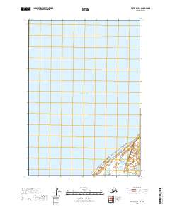 2019 Bristol Bay B-1 NE2019 Print · USGSCovers Pilot Point, including Lake and Peninsula, United States, and other nearby areas
 - 2019 Map of Ugashik C-6 SW, 2019 Print
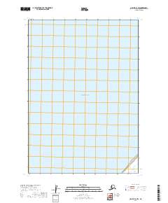 2019 Ugashik C-6 SW2019 Print · USGSCoastal Alaska in the early twenty-first century is documented here through the clear waters of Bristol Bay. Researchers can trace the legal land divisions of the Public Land Survey System including T30S R53W and T31S R53W along the peninsula shore.
 - 2019 Map of Ugashik C-6 NE, 2019 Print
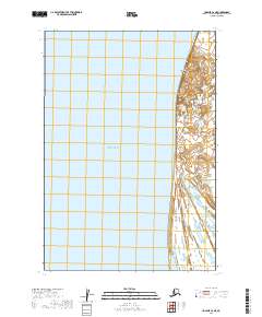 2019 Ugashik C-6 NE2019 Print · USGSCoastal Alaska and the eastern reaches of Bristol Bay are captured in this 2019 survey of the Lake and Peninsula Borough. Researchers can trace the shoreline and wetlands surrounding the prominent Cape Greig and examine land divisions like T28S R52W.
End of results
Showing maps 1-21 of 21
Frequently asked questions
- What are the different types of historical maps available for Pilot Point?
- What is the oldest map of Pilot Point?
- Where can I purchase historical maps of Pilot Point for my home or office?
- Where can I download high-res historical maps of Pilot Point?
- Are there historical topographic maps available for Pilot Point?
- Is there historical aerial imagery available for Pilot Point?
- Where are historical maps of Pilot Point sourced from?