Old Maps of Kaktovik, Alaska for Genealogy
Trace your family roots with 8 historic maps of Kaktovik. These high-res maps reveal old neighborhoods, homesites, landmarks, and streets — helping you uncover where your ancestors lived and how the area evolved over time.
- Explore historic neighborhoods: Identify where your relatives may have lived in the 1800s or 1900s.
- Compare maps over time: Trace the changes in streets, buildings, and landmarks for multi-generational research.
- Perfect for genealogy & ancestry research: Used by family historians and researchers to map out lineage and migration.
These maps are an incredible resource for exploring your personal connection to Kaktovik's past.
Kaktovik, AK maps
(8)- 1951 Map of Barter Island
 1951 Barter Island1951 Print · USGSThe Arctic coastline of Alaska's North Slope appears in the early 1950s as a stretch of barrier islands and isolated river deltas. Trace early coastal outposts and maritime landmarks like Teddy Bear Hbr, Arey Island, and the mouth of the Jago River.
 - 1955 Map of Barter Island A-5, 1969 Print
 1955 Barter Island A-51969 Print · USGSThe Beaufort Sea coast of Alaska is captured here in the mid-1950s, detailing the strategic and natural geography of the North Slope. Researchers can trace the layout of Kaktovik, the nearby Landing Strip, and the historic Elupak (Site).3 unique versions available
 - 1959 Map of Barter Island
 1959 Barter Island1959 Print · USGSThe North Slope coast during the late fifties and early sixties shows a landscape of remote settlements and vital arctic waterways. Genealogists and historians can locate the village of Kaktovik, the Elupak (Site) landmark, and coastal features like Bernard Harbor.7 unique versions available
 - 1964 Map of Barter Island
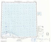 1964 Barter Island1964 Print · USGSThe Beaufort Sea coastline and the settlement of Barter Island are captured here in the mid-sixties. Researchers can trace the location of Kaktovik, the Landing Field, and the Tractor trails that connected remote Cabins along the Jago River.
 - 2018 Map of Barter Island A-5 NE, 2018 Print
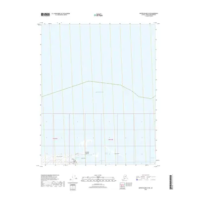 2018 Barter Island A-5 NE2018 Print · USGSBarter Island on the edge of the Beaufort Sea is shown here in the late 2010s during a period of modern Arctic infrastructure. Researchers can trace the layout of the Barter Island Long Range Radar Site and coastal features like Bernard Harbor and Bernard Spit.
 - 2018 Map of Barter Island A-5 SE, 2018 Print
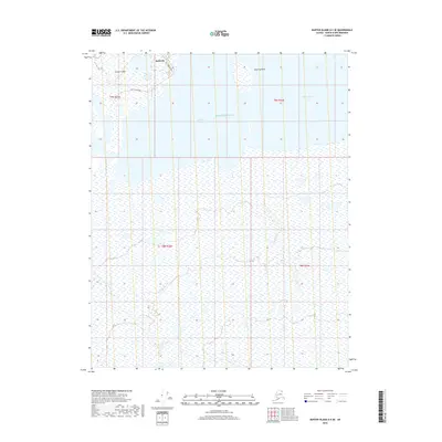 2018 Barter Island A-5 SE2018 Print · USGSThe Arctic community of Kaktovik is centered on the coast of Barter Island in this modern survey of the North Slope. Trace the local street layout along Hula Hula Avenue and the natural geography of Kaktovik Lagoon and Manning Point.
 - 2024 Map of Barter Island A-5 NE, 2024 Print
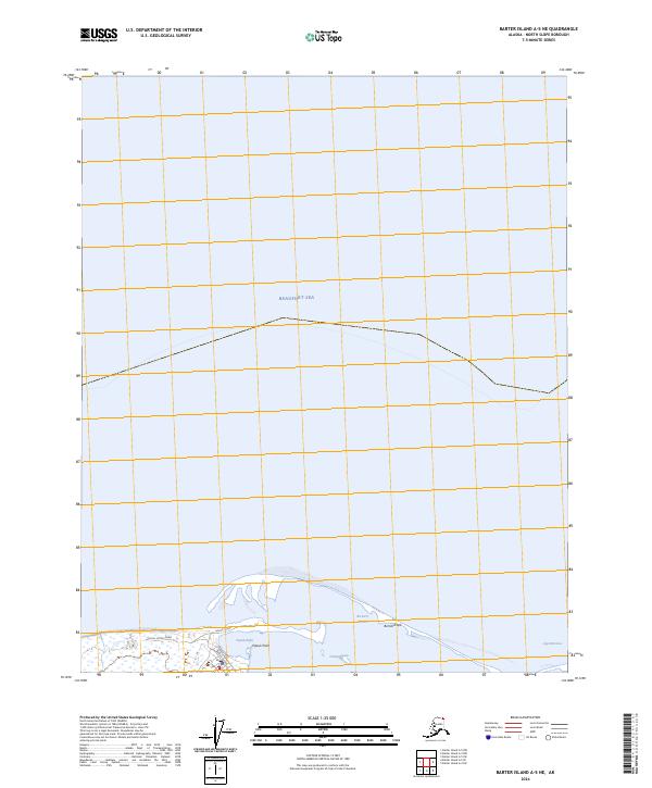 2024 Barter Island A-5 NE2024 Print · USGSThe Arctic coast near the Beaufort Sea is documented here in the early twenty-first century, showing the intersection of protected wilderness and local infrastructure. Researchers can trace coastal landforms like Bernard Spit and small-scale roads such as Airport Road and Pipsuk Street.
 - 2024 Map of Barter Island A-5 SE, 2024 Print
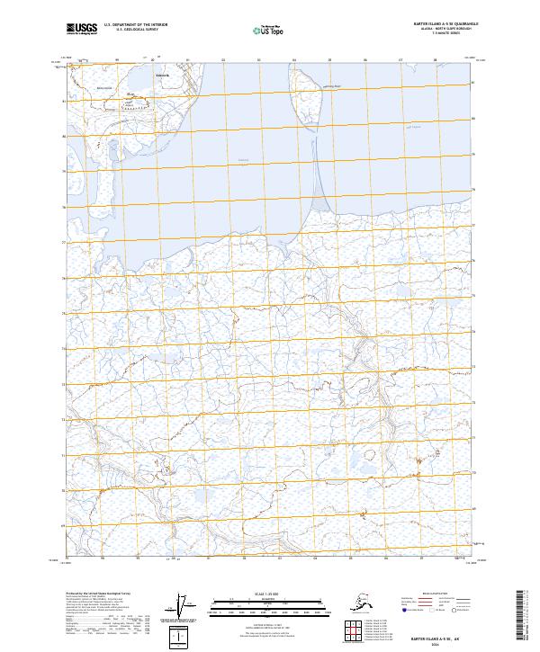 2024 Barter Island A-5 SE2024 Print · USGSCoastal North Slope life is documented here in the early twenty-first century, centering on the remote community of Kaktovik. Researchers can trace local infrastructure from Barter Island Airport to the shores of Kaktovik Lagoon.
End of results
Showing maps 1-8 of 8
Frequently asked questions
- What are the different types of historical maps available for Kaktovik?
- What is the oldest map of Kaktovik?
- Where can I purchase historical maps of Kaktovik for my home or office?
- Where can I download high-res historical maps of Kaktovik?
- Are there historical topographic maps available for Kaktovik?
- Is there historical aerial imagery available for Kaktovik?
- Where are historical maps of Kaktovik sourced from?