2020s Maps of Unorganized Borough, Alaska
Explore 2,273 historic maps of Unorganized Borough from the 2020s. These maps offer a rare glimpse into what life looked like during the 2020s — showing old roads, neighborhoods, homes, and landmarks that have changed or disappeared over time.
Whether you're researching your family's past, planning a metal detecting trip, or studying how Unorganized Borough's landscape evolved across the 2020s, these high-resolution maps are a powerful tool for exploring the history of this region.
- Focus on a specific era: All maps on this page are from the 2020s, giving you a focused view of this time period.
- See what’s changed: Compare century-old streets, trails, and buildings to today's modern landscape using overlays and satellite layers.
- Research with precision: Use these maps for genealogy, historical research, land use analysis, or educational projects.
- View, download, or print: Maps are fully viewable online in high resolution, and can be downloaded or printed for your own records.
Start exploring Unorganized Borough's history through authentic maps from the 2020s. This is your window into the past.
Unorganized Borough, AK maps
(2,273)- 2020 Map of Saint Matthew C-6 OE E SW, 2020 Print
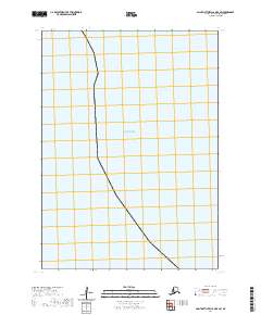 2020 Saint Matthew C-6 OE E SW2020 Print · USGSCoastal Alaska in 2020 is defined by maritime boundaries and the open waters of the Bering Sea. Researchers can trace the formal public land survey grid of T5N R134W across this remote marine landscape.
 - 2020 Map of Marshall B-4 NW, 2020 Print
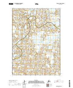 2020 Marshall B-4 NW2020 Print · USGSThe remote wetlands of the Yukon-Kuskokwim Delta are captured here in the years following the turn of the century. You can trace the precise boundary line separating the Kusilvak Census Area from the Bethel Census Area amidst a vast complex of unnamed lakes.
 - 2020 Map of Marshall B-4 SW, 2020 Print
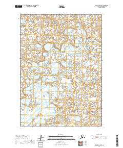 2020 Marshall B-4 SW2020 Print · USGSThis remote stretch of the Yukon-Kuskokwim Delta near Bethel is seen in detail as it appeared in 2020. Researchers can trace the winding course of the Izaviknek River as it threads through an immense complex of tundra ponds and wetlands.
 - 2020 Map of Marshall B-6 SE, 2020 Print
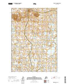 2020 Marshall B-6 SE2020 Print · USGSThe boundary of the Bethel Census Area and Kusilvak Census Area is captured in this recent survey of the Alaskan interior. Researchers can trace the elevation of the Ingakslugwat Hills above the surrounding wetlands and ponds.
 - 2020 Map of Marshall A-5 NW, 2020 Print
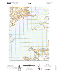 2020 Marshall A-5 NW2020 Print · USGSThe Yukon-Kuskokwim Delta tundra is documented in this 2020 survey, showing a landscape defined by water and wetlands. Researchers can trace the extensive boundaries of Aropuk Lake and the grid systems of T13N R81W and T12N R82W.
 - 2020 Map of Marshall D-4 SE, 2020 Print
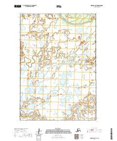 2020 Marshall D-4 SE2020 Print · USGSThe subarctic wetlands of the Yukon Delta are captured here in the early twenty-first century. Researchers can trace the winding course of the Kashunuk River and locate the remote settlement of Kanapak near Mankakuk Cr.
 - 2020 Map of Marshall A-5 NE, 2020 Print
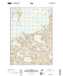 2020 Marshall A-5 NE2020 Print · USGSThe western Alaskan interior comes into focus in this recent survey of the Bethel Census Area. Researchers can trace the sprawling coastline of Aropuk Lake and the winding path of the Izaviknek River through this remote tundra landscape.
 - 2020 Map of Marshall B-5 NW, 2020 Print
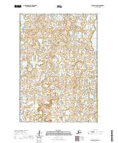 2020 Marshall B-5 NW2020 Print · USGSIn the wetlands of western Alaska, this recent survey captures a landscape dominated by water and seasonal tundra. Researchers can trace the shoreline of Kgun Lake and examine the township boundaries of T16N R81W and T15N R80W in this remote census area.
 - 2020 Map of Marshall D-5 SE, 2020 Print
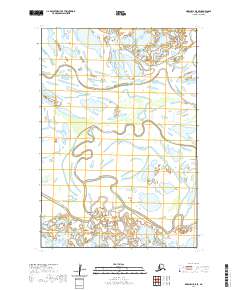 2020 Marshall D-5 SE2020 Print · USGSThe western Alaska wetlands of the Kusilvak Census Area are documented in this 2020 topographic survey. Researchers can trace the winding paths of the Kashunuk River and Nantok River and locate the settlement of Chakaktolik among the interconnected waterways.
 - 2020 Map of Marshall A-5 SE, 2020 Print
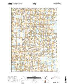 2020 Marshall A-5 SE2020 Print · USGSThe Bethel Census Area in the early twenty-first century is a world of water and wilderness defined by its survey lines. Researchers can trace the exact boundaries of T12n R81w and T11n R80w to understand the land organization in this unpopulated landscape.
 - 2020 Map of Marshall A-6 NE, 2020 Print
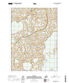 2020 Marshall A-6 NE2020 Print · USGSThe wilderness of southwestern Alaska is captured in this recent survey of the Yukon-Kuskokwim Delta region. Researchers can trace the vast aquatic landscape of Aropuk Lake and the boundary between the Bethel Census Area and Kusilvak Census Area.
 - 2020 Map of Marshall A-4 SE, 2020 Print
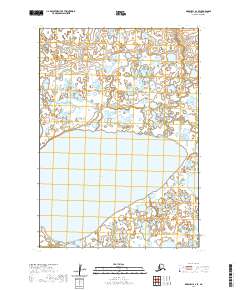 2020 Marshall A-4 SE2020 Print · USGSThe wilderness of the Bethel Census Area is captured here in the early twenty-first century, centered on the expansive waters of Puk Palik Lake. Local history and geography researchers can trace the natural boundaries of T11N R79W and T12N R78W across this remote wetland terrain.
 - 2020 Map of Marshall C-6 SE, 2020 Print
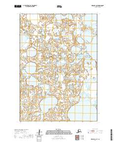 2020 Marshall C-6 SE2020 Print · USGSKusilvak Census Area's wetland landscape is documented in this modern survey of western Alaska. Researchers can trace the exact hydrology of Kgun Lake and the surrounding marshlands across township lines like T17N R81W.
 - 2020 Map of Marshall C-5 SE, 2020 Print
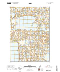 2020 Marshall C-5 SE2020 Print · USGSThe Kusilvak Census Area in the early twenty-first century remains a landscape defined by water and wilderness. Local historians and researchers can study the intricate hydrography surrounding Kingaglia Lake and Kgun Lake across this detailed 2020 topographic survey.
 - 2020 Map of Marshall B-5 SE, 2020 Print
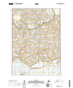 2020 Marshall B-5 SE2020 Print · USGSThe border between the Kusilvak Census Area and Bethel Census Area spans this remote landscape in 2020. Surveyors and historians can trace the hydrography of countless unnamed lakes and township markers like T15N R80W.
 - 2020 Map of Marshall B-5 SW, 2020 Print
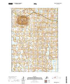 2020 Marshall B-5 SW2020 Print · USGSWetlands and tundra dominate this part of the Alaskan interior at the border of the Kusilvak and Bethel Census Areas. Researchers can trace the elevation of Tk Hill and the vast network of unnamed lakes and ponds across the Kusilvak Census Area.
 - 2020 Map of Marshall A-4 NE, 2020 Print
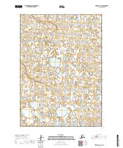 2020 Marshall A-4 NE2020 Print · USGSThe remote tundra of Bethel, Alaska, is captured in this modern survey of a landscape dominated by water and seasonal wetlands. Researchers can trace the exact section lines and township boundaries such as T13N R78W and T12N R78W across this undisturbed wilderness.
 - 2020 Map of Marshall A-4 SW, 2020 Print
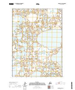 2020 Marshall A-4 SW2020 Print · USGSThe Yukon-Kuskokwim Delta near Bethel is captured here in the early twenty-first century, showing a landscape defined by water and wetlands. Researchers can trace the boundaries of T12N R80W and T11N R79W or locate the sprawling waters of Puk-Palik Lake.
 - 2020 Map of Marshall B-4 SE, 2020 Print
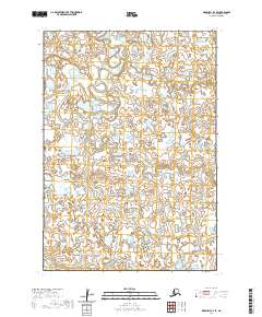 2020 Marshall B-4 SE2020 Print · USGSThe Alaskan tundra in the Bethel Census Area is documented here in the early twenty-first century, showing a remote landscape of water and ice. Trace the winding paths of the Izaviknek River and Koke Creek through a dense network of ponds and wetlands.
 - 2020 Map of Marshall B-4 NE, 2020 Print
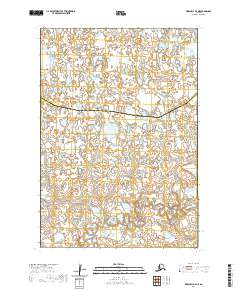 2020 Marshall B-4 NE2020 Print · USGSWestern Alaska’s wetlands are captured here in the early twenty-first century as the boundary between the Kusilvak Census Area and Bethel Census Area crosses the tundra. Researchers can trace the winding paths of Chakaktolik Cr and the Izaviknek River.
 - 2020 Map of Marshall A-5 SW, 2020 Print
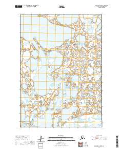 2020 Marshall A-5 SW2020 Print · USGSThe Yukon-Kuskokwim Delta region is shown in contemporary detail during the early twenty-first century. Researchers can study the intricate wetland patterns surrounding Aropuk Lake and trace the section lines of T12N R82W across the tundra.
 - 2020 Map of Marshall C-8 SW, 2020 Print
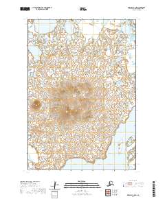 2020 Marshall C-8 SW2020 Print · USGSWithin the Kusilvak Census Area in 2020, this survey captures the intersection of highland and riverine landscapes. Researchers can locate the elevation of Nushkolik Mtn and trace the eastern path of the Kashunuk River as it moves through the delta.
 - 2020 Map of Marshall D-8 SW, 2020 Print
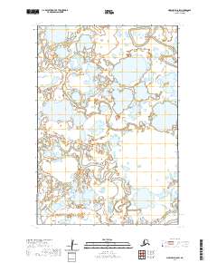 2020 Marshall D-8 SW2020 Print · USGSThe Kusilvak wetlands are captured in this recent survey, showcasing a landscape defined entirely by its complex river systems. Researchers can trace the winding paths of the Kut River, Tungpuk River, and Kikneak River as they meander through this roadless territory.
 - 2020 Map of Marshall D-4 SW, 2020 Print
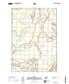 2020 Marshall D-4 SW2020 Print · USGSKwigorlak and the surrounding Kusilvak wetlands are recorded here in the modern era. Trace the winding paths of the Kashunuk River, Nantok River, and Pitmik River as they move through this tidal landscape.
 - 2020 Map of Marshall B-8 NE, 2020 Print
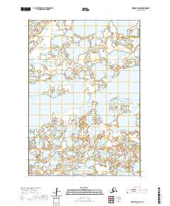 2020 Marshall B-8 NE2020 Print · USGSKusilvak Census Area's interior wetlands and tundra are documented here in the early twenty-first century. Researchers can trace the complex hydrography of the region's unnamed ponds and major water bodies like Nuigalak Lake and Nashak Lake.
Showing maps 1-25 of 2,273
Top cities of Unorganized Borough
- Bethel historical maps
- Unalaska historical maps
- Valdez historical maps
- Nome historical maps
- Dillingham historical maps
- Cordova historical maps
See more
Frequently asked questions
- What are the different types of historical maps available for Unorganized Borough?
- What is the oldest map of Unorganized Borough?
- Where can I purchase historical maps of Unorganized Borough for my home or office?
- Where can I download high-res historical maps of Unorganized Borough?
- Are there historical topographic maps available for Unorganized Borough?
- Is there historical aerial imagery available for Unorganized Borough?
- Where are historical maps of Unorganized Borough sourced from?