2010s Maps of Topawa, Arizona
Explore 36 historic maps of Topawa from the 2010s. These maps offer a rare glimpse into what life looked like during the 2010s — showing old roads, neighborhoods, homes, and landmarks that have changed or disappeared over time.
Whether you're researching your family's past, planning a metal detecting trip, or studying how Topawa's landscape evolved across the 2010s, these high-resolution maps are a powerful tool for exploring the history of this region.
- Focus on a specific era: All maps on this page are from the 2010s, giving you a focused view of this time period.
- See what’s changed: Compare century-old streets, trails, and buildings to today's modern landscape using overlays and satellite layers.
- Research with precision: Use these maps for genealogy, historical research, land use analysis, or educational projects.
- View, download, or print: Maps are fully viewable online in high resolution, and can be downloaded or printed for your own records.
Start exploring Topawa's history through authentic maps from the 2010s. This is your window into the past.
Topawa, AZ maps
(36)- 2011 Map of Comobabi, 2011 Print
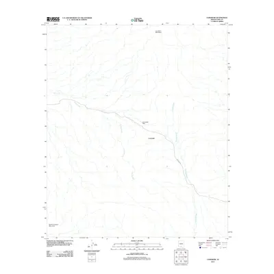 2011 Comobabi2011 Print · USGSThe Schuk Toak District of Pima County is captured here in the early twenty-first century, centered on the desert settlement of Comobabi. Researchers can trace the path of Indian Rte 30 as it navigates the Comobabi Pass between two mountain ranges.
 - 2011 Map of Topawa, 2011 Print
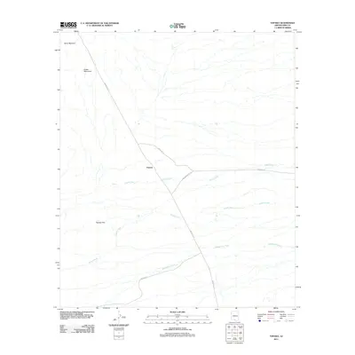 2011 Topawa2011 Print · USGSThe settlement of Topawa is captured here in the early twenty-first century, showing the intersection of vital desert roadways and natural drainages. Researchers can trace the layout of Indian Rte-19 and identify landmarks like the Artesa Mountains and Fresnal Wash.
 - 2011 Map of Baboquivari Peak, 2011 Print
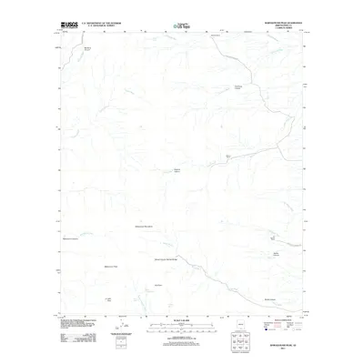 2011 Baboquivari Peak2011 Print · USGSBaboquivari Peak and the surrounding Pima County canyons are documented here in the early twenty-first century. Researchers can locate remote desert landmarks like the Brown Canyon Natural Bridge and historic sites such as Elkhorn Ranch and Redondo Ranch.
 - 2011 Map of Aguirre Peak, 2011 Print
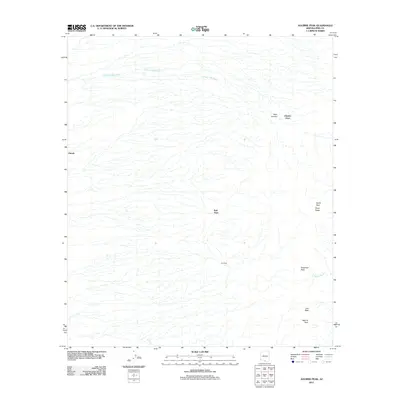 2011 Aguirre Peak2011 Print · USGSPima County’s high desert landscape is recorded here in the early 2010s, showing a territory of mountain passes and isolated settlements. Researchers can trace the routes between Utevak, Kuit Vaya, and landmarks like Deadman Pass or the prominent Aguirre Peak.
 - 2011 Map of San Juan Spring, 2011 Print
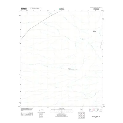 2011 San Juan Spring2011 Print · USGSThe Pima County desert landscape in the early twenty-first century is defined by its ancient drainage systems and the Quinlan Mountains. Researchers can trace the path of Route 86 as it cuts across the Sells Wash and Pavo Kug Wash near the settlement of Gu Chuapo.
 - 2011 Map of Vamori, 2011 Print
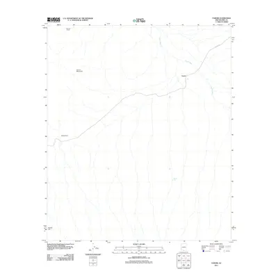 2011 Vamori2011 Print · USGSThe Pima County desert comes into focus in the early 2010s, showing a land of seasonal washes and isolated ranching outposts. Researchers can trace the path of Indian Rte 2 past the Alvarez Mountains to reach the settlement of Vamori.
 - 2011 Map of Sells East, 2011 Print
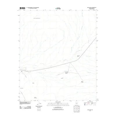 2011 Sells East2011 Print · USGSPima County’s desert landscapes are shown here in the early twenty-first century, centered on the community of Sells. Genealogists and historians can trace the footprint of several settlements including Chiawuli Tak, Ali Chukson, and the remote Suwuk Tontk.
 - 2011 Map of Chiuli Shaik, 2011 Print
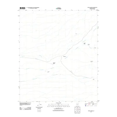 2011 Chiuli Shaik2011 Print · USGSThe Pima County desert at the start of the 2010s shows a landscape of scattered settlements and seasonal watercourses. Researchers can trace the routes between Chiuli Shaik, Kahachi Miliuk, and Allison Camp, or follow the long paths of Mulberry Wash and Fresnal Wash.
 - 2011 Map of Cowlic, 2011 Print
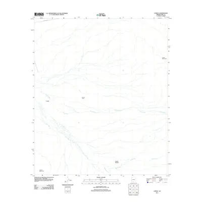 2011 Cowlic2011 Print · USGSThe desert landscape of Pima County in 2011 reveals the enduring presence of small settlements within the Sonoran environment. Researchers can trace the drainage of Fresnal Wash through the Vamori Valley and locate the homesites at Cowlic and Vopolo Havoka.
 - 2011 Map of South Komelik, 2011 Print
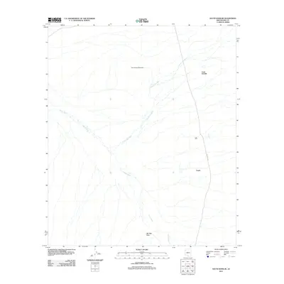 2011 South Komelik2011 Print · USGSThe desert landscape of Pima County comes into focus in this early twenty-first-century survey. You can trace the proximity of settlements like Choulic and Ak Chut Vaya along the seasonal paths of the Chutum Vaya Wash and Vamori Wash.
 - 2011 Map of Kitt Peak, 2011 Print
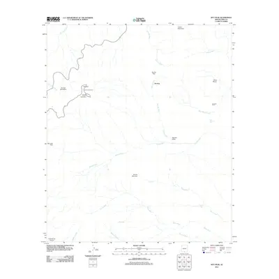 2011 Kitt Peak2011 Print · USGSThe high desert of Pima County is captured here in the early twenty-first century, centered on the world-renowned scientific outposts atop Kitt Peak. Researchers and local historians can trace the remote ranching landscape and mountain passes, from Uhs Kug to the Hay Hook Ranch.
 - 2011 Map of Mildred Peak, 2011 Print
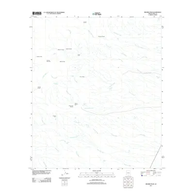 2011 Mildred Peak2011 Print · USGSSouthern Arizona ranching and rugged desert peaks define this area in the early 21st century. Genealogists and historians can trace livestock operations at Santa Margarita Ranch or locate water sources like Indian Tank and Escondido Spring.
 - 2014 Map of Vamori, 2014 Print
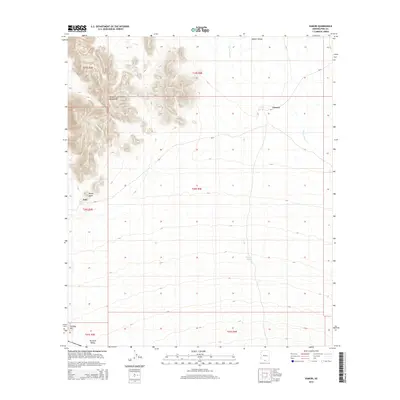 2014 Vamori2014 Print · USGSThe Pima County desert as it appeared in the early 21st century reveals a landscape shaped by high peaks and seasonal water. Genealogists and researchers can trace the locations of Vamori and Itak, along with landmarks like Wamul Tank and the Alvarez Mountains.
 - 2014 Map of Topawa, 2014 Print
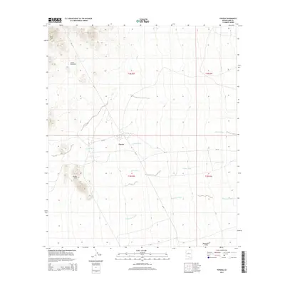 2014 Topawa2014 Print · USGSIn the southern Arizona desert during the early twenty-first century, the settlement of Topawa serves as a hub for the surrounding valley. Local researchers can trace the routes of BIA-19 and BIA-119 past landmarks like the Artesa Mountains and the Topawa Hills.
 - 2014 Map of Cowlic, 2014 Print
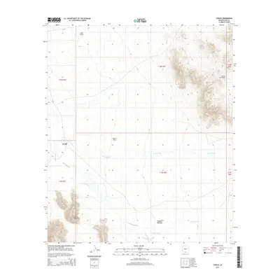 2014 Cowlic2014 Print · USGSThe Tohono O'odham Nation is documented in the mid-2010s, showing a desert landscape of high mountains and wide valleys. Genealogists and local historians can trace the footprints of Cowlic and Vopolo Havoka near the seasonal Fresnal Wash.
 - 2014 Map of Chiuli Shaik, 2014 Print
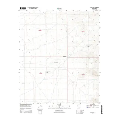 2014 Chiuli Shaik2014 Print · USGSThe Pima County desert landscape comes into focus in this early twenty-first-century survey. Trace the seasonal waterways of Fresnal Wash and Topawa Wash as they navigate around landmarks like Chiuli Shaik, Kahachi Miliuk, and the Wasatch Range.
 - 2014 Map of Sells East, 2014 Print
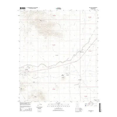 2014 Sells East2014 Print · USGSThe Tohono O'odham Nation comes into focus in this recent survey of the Arizona desert during the early twenty-first century. Researchers can locate community hubs like Sells, trace the campus of Tohono O'odham Community Coll, and identify settlements such as Ali Chukson.
 - 2014 Map of South Komelik, 2014 Print
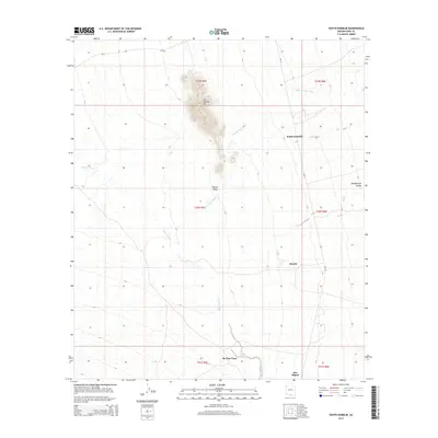 2014 South Komelik2014 Print · USGSSouthern Arizona desert life is centered on the washes and valleys of Pima County in this twenty-first-century survey. Genealogists and historians can trace local settlements such as South Komelik, Choulic, and San Miguel along the seasonal Vamori Wash.
 - 2014 Map of Aguirre Peak, 2014 Print
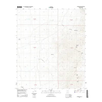 2014 Aguirre Peak2014 Print · USGSThe high desert of Pima County appears in this recent survey, centered on the dramatic summits and deep canyons of the Baboquivari Mountains. Researchers can trace remote desert settlements like Kuit Vaya and Chutum Vaya alongside natural landmarks such as Aguirre Peak.
 - 2014 Map of San Juan Spring, 2014 Print
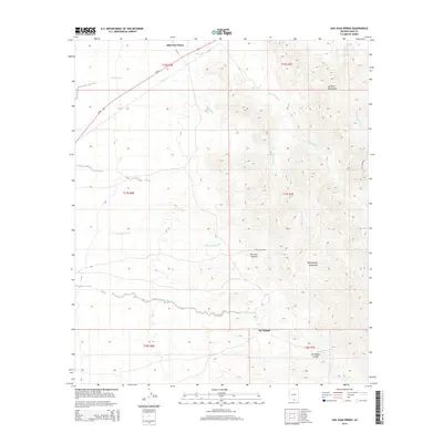 2014 San Juan Spring2014 Print · USGSThe Pima County desert landscape in the early twenty-first century is defined by its seasonal washes and mountain ridges. Genealogists and researchers can locate the settlements of Haivana Nakya and Gu Chuapo, or trace the rugged geography of San Juan Canyon and the Quinlan Mountains.
 - 2014 Map of Baboquivari Peak, 2014 Print
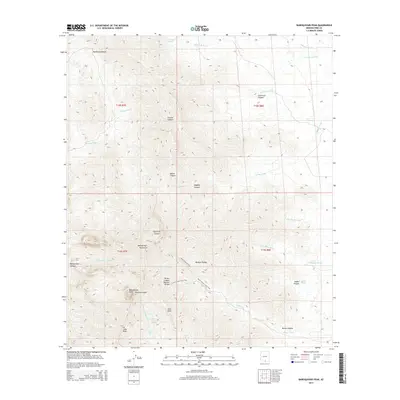 2014 Baboquivari Peak2014 Print · USGSThe Baboquivari Mountains are documented here in detail during the early 2010s, showing a landscape defined by deep canyons and critical desert water sources. Researchers can trace high-country routes like the Jaguar Canyon Trail and locate landmarks such as Baboquivari Peak and the Brown Canyon Natural Bridge.
 - 2014 Map of Mildred Peak, 2014 Print
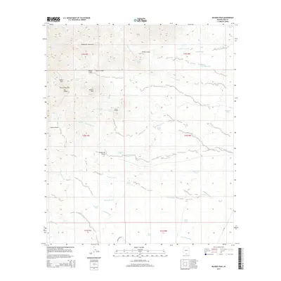 2014 Mildred Peak2014 Print · USGSThe high desert of the Baboquivari Mountains in the 2010s reveals a landscape shaped by water scarcity and rugged relief. Trace the network of historic stock tanks like Cemetery Tank and Seven X Tank alongside prominent peaks such as Mildred Peak and Cerro Prieto.
 - 2014 Map of Comobabi, 2014 Print
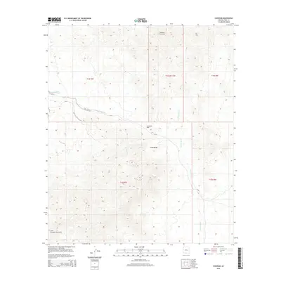 2014 Comobabi2014 Print · USGSThe Schuk Toak District comes into focus in the early twenty-first century, centered on the high desert community of Comobabi. Researchers can trace the drainage of Ko Vaya Wash and follow the route of BIA-30 as it crosses through Comobabi Pass.
 - 2014 Map of Kitt Peak, 2014 Print
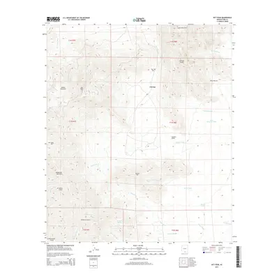 2014 Kitt Peak2014 Print · USGSThe high peaks and desert washes of Pima County are recorded here in the early twenty-first century. Researchers can trace land use through naming patterns at Kitt Peak, locate remote water sources like Santa Margarita Tank, and study the geography of Alambre Valley.
 - 2018 Map of Comobabi, 2018 Print
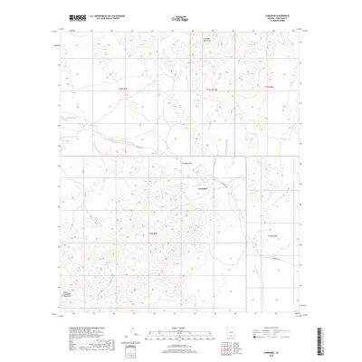 2018 Comobabi2018 Print · USGSThe Schuk Toak District of Pima County is captured here in the late 2010s, showcasing a desert landscape centered on the village of Comobabi. Genealogists and historians can trace traditional land divisions and routes like Indian Rte 30 and the geographic importance of Comobabi Pass.
Showing maps 1-25 of 36
Top cities near Topawa
Top neighborhoods of Topawa
- Chukson historical maps
- Topawa historical maps
- Choulic historical maps
- Kahachi Miliuk historical maps
- Pitoikam historical maps
- Vopolo Havoka historical maps
See more
Frequently asked questions
- What are the different types of historical maps available for Topawa?
- What is the oldest map of Topawa?
- Where can I purchase historical maps of Topawa for my home or office?
- Where can I download high-res historical maps of Topawa?
- Are there historical topographic maps available for Topawa?
- Is there historical aerial imagery available for Topawa?
- Where are historical maps of Topawa sourced from?