2020s Maps of Scott County, Arkansas
Explore 53 historic maps of Scott County from the 2020s. These maps offer a rare glimpse into what life looked like during the 2020s — showing old roads, neighborhoods, homes, and landmarks that have changed or disappeared over time.
Whether you're researching your family's past, planning a metal detecting trip, or studying how Scott County's landscape evolved across the 2020s, these high-resolution maps are a powerful tool for exploring the history of this region.
- Focus on a specific era: All maps on this page are from the 2020s, giving you a focused view of this time period.
- See what’s changed: Compare century-old streets, trails, and buildings to today's modern landscape using overlays and satellite layers.
- Research with precision: Use these maps for genealogy, historical research, land use analysis, or educational projects.
- View, download, or print: Maps are fully viewable online in high resolution, and can be downloaded or printed for your own records.
Start exploring Scott County's history through authentic maps from the 2020s. This is your window into the past.
Scott County, AR maps
(53)- 2020 Map of Peanut Mountain, 2020 Print
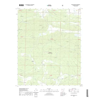 2020 Peanut Mountain2020 Print · USGSScott County, Arkansas, is shown here during a period of modern forest management and rural preservation. Researchers can locate the mountain communities of Blansett and Nella or trace family lineages at Whisenhunt Cem and Shiloh Cem.
 - 2020 Map of Cauthron, 2020 Print
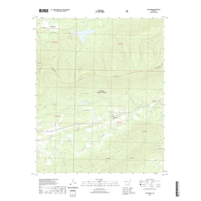 2020 Cauthron2020 Print · USGSScott County and the Ouachita National Forest are shown in detail as they appeared in recent years. Genealogists and hikers can trace local history at Kirk Cem, the settlement of Cauthron, and the long Poteau Mtn Multi-Use Trail.
 - 2020 Map of Ione, 2020 Print
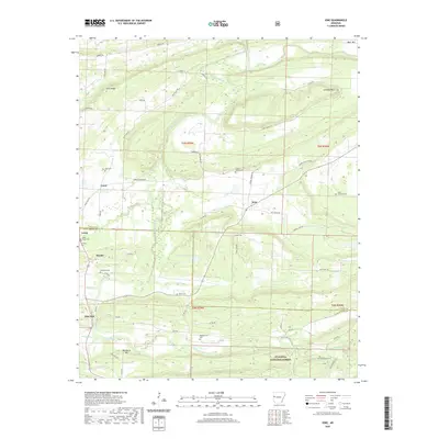 2020 Ione2020 Print · USGSThe borderlands of Logan and Scott Counties come into focus in the early twenty-first century as the Petit Jean River valley meets the forest. Genealogists can locate several family burial sites including Tomlinson Cem, Wiley Cem, and Little Cauthron Cem.
 - 2020 Map of Sugar Grove, 2020 Print
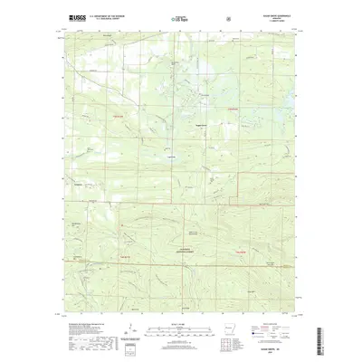 2020 Sugar Grove2020 Print · USGSThe Logan and Scott County line runs through this Arkansas river valley as it appeared in the early 2020s. Genealogists can trace family names through several rural burial grounds, including Logan Cem, Bud Davis Cem, and Helton Cem.
 - 2020 Map of Blue Mountain Dam, 2020 Print
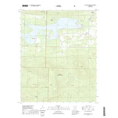 2020 Blue Mountain Dam2020 Print · USGSBlue Mountain Lake and the surrounding Yell and Logan County ridges are shown here in fine detail during the modern era. Genealogists can locate family burial sites such as Moores Chapel Cem and Alexander A Scott Cem near the banks of the Petit Jean River.
 - 2020 Map of Bee Mountain, 2020 Print
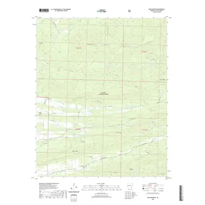 2020 Bee Mountain2020 Print · USGSScott County, Arkansas, is shown here in the 2020s, a landscape shaped by the ridges of the Ouachita Mountains and the winding Poteau River. Researchers can locate Mount Pleasant Cem and Friendship Cem or trace the Sugar Creek Multi-Use Trail through the timbered forest.
 - 2020 Map of Freedom Mountain, 2020 Print
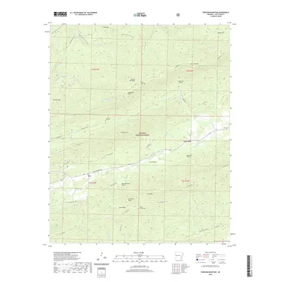 2020 Freedom Mountain2020 Print · USGSScott County's mountain ridges and forest settlements are documented here in the early twenty-first century. Genealogists and local historians can trace family locations near Olio, Union Hill, and historic burial sites like Freedom Creek Cem.
 - 2020 Map of Little Texas, 2020 Print
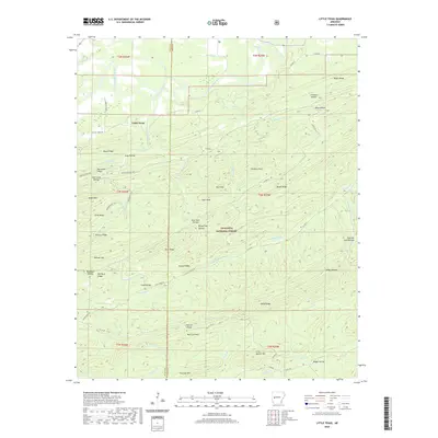 2020 Little Texas2020 Print · USGSThe Ouachita highlands of Scott and Yell County are mapped here in the modern era, showing a landscape of named ridges and deep hollows. Researchers can trace the path of the Million Dollar Hwy or locate family landmarks like L L Simental Ranch and Bread Tray Hollow.
 - 2020 Map of Golden City, 2020 Print
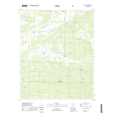 2020 Golden City2020 Print · USGSLogan County settlements and forest highlands are captured here during a period of modern rural stability. Researchers can trace family history through numerous burial grounds like Golden City Cem and Oliver Cem near the Petit Jean River.
 - 2020 Map of Sims, 2020 Print
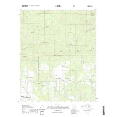 2020 Sims2020 Print · USGSMontgomery County in the early twenty-first century reveals a landscape where the Ouachita River meets the dense timber of the Ouachita National Forest. Genealogists and local historians can trace the rural communities of Sims and Pencil Bluff or locate family sites at Barber Cem and Macedonia Cem.
 - 2020 Map of Brushy Creek Mountain, 2020 Print
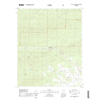 2020 Brushy Creek Mountain2020 Print · USGSMontgomery County and the Ouachita National Forest are shown in detail during the late twenty-teens. Genealogists and hikers can trace the Ouachita National Recreation Trail past remote sites like Brushy Cem, Grenade Cem, and Turkey Pen Mtn.
 - 2020 Map of Buck Knob, 2020 Print
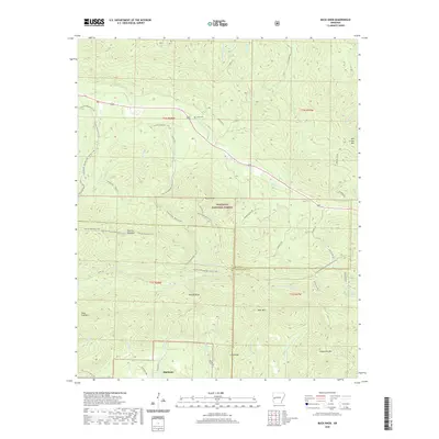 2020 Buck Knob2020 Print · USGSHighland and the high ridges of the Ouachita Mountains are captured here in the early twenty-first century. Genealogists and hikers can trace remote landmarks like Lyons Cem, the Ouachita National Recreation Trail, and the peaks of Buck Knob and Fourche Mountain.
 - 2020 Map of Parks, 2020 Print
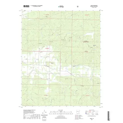 2020 Parks2020 Print · USGSScott County’s mountain ridges and river valleys are captured here in the modern era, centered on the community of Parks. Researchers can trace local lineage at Hawkins Cem or Jameson Cem and explore the high slopes of Dutch Creek Mtn.
 - 2020 Map of Huntington, 2020 Print
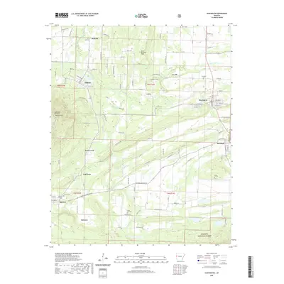 2020 Huntington2020 Print · USGSThe borderlands of Arkansas and Oklahoma appear here in the early twenty-first century, centered on the historic mining and rail towns of Huntington and Hartford. Researchers can trace old family burial grounds like Buggy Hill Cem and James Fork Cem or locate the rural crossroads of Frog Town.
 - 2020 Map of Bates, 2020 Print
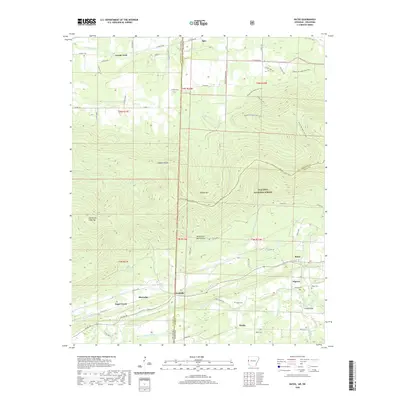 2020 Bates2020 Print · USGSThe Arkansas-Oklahoma borderlands come into focus in this recent survey of the Scott County hills. Researchers can trace rural lineages through local landmarks like Gipson Cem, Weeks, and the river crossing at Trestle Ford.
 - 2020 Map of Hon, 2020 Print
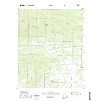 2020 Hon2020 Print · USGSThe rural valleys of Scott County are shown here in the 2020s, framed by the high ridges of the Ouachita National Forest. Researchers can locate historic family burial sites at Anthony Cem and Pearson Cem while tracing the winding course of the Poteau River.
 - 2020 Map of Gravelly, 2020 Print
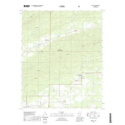 2020 Gravelly2020 Print · USGSThe Scott and Yell County borderlands come into focus here during the early twenty-first century, showing the small communities and mountain gaps of the Ouachita region. Trace family history and rural geography through landmarks like Egypt Cem, Young Gravelly, and the winding Fourche La Fave River.
 - 2020 Map of Boles, 2020 Print
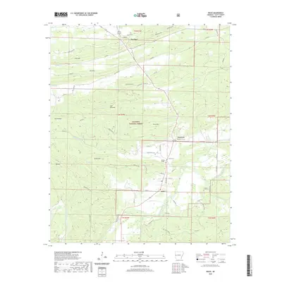 2020 Boles2020 Print · USGSBoles and the rural reaches of Scott County are documented here as they appeared in 2020. Genealogists and local historians can trace the locations of the Countiss Grave Yard and Needmore Cem near the banks of Buffalo Cr.
 - 2020 Map of Horseshoe Mountain, 2020 Print
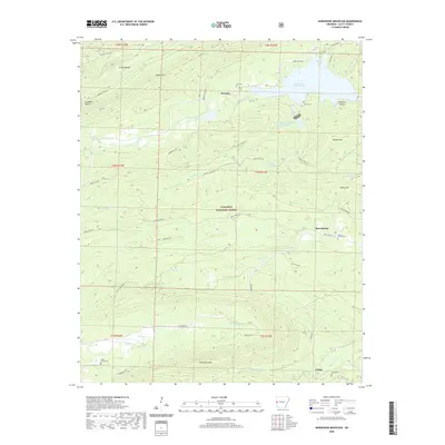 2020 Horseshoe Mountain2020 Print · USGSScott County's forested ridges and narrow valleys are documented here during the early twenty-first century. Family historians can trace rural roots through landmarks like Walnut Grove Cem, Brawley, and the namesake Horseshoe Mtn.
 - 2020 Map of Mountain Fork, 2020 Print
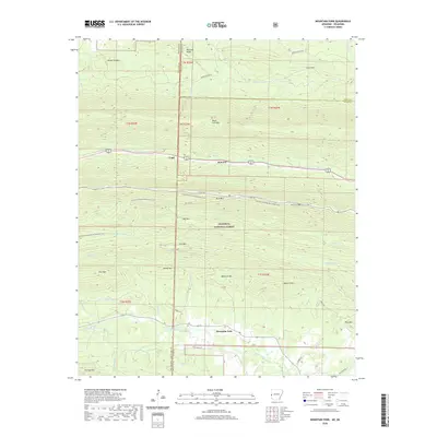 2020 Mountain Fork2020 Print · USGSThe Ouachita highlands along the Oklahoma and Arkansas border are shown here at the start of the 2020s. Researchers can locate remote mountain burials at Heely Cem and Pioneer Cem or trace the early paths of Fogel and Mountain Fork.
 - 2020 Map of Waldron, 2020 Print
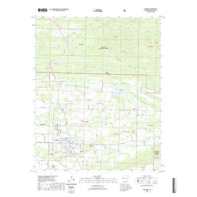 2020 Waldron2020 Print · USGSWaldron and the surrounding Scott County valley are documented here in the early twenty-first century as they border the National Forest. Genealogists can locate several family and community landmarks, including Old Salem Cem, Duncan Cem, and the Scott County Courthouse.
 - 2020 Map of Acorn, 2020 Print
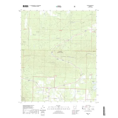 2020 Acorn2020 Print · USGSThe high ridges of the Ouachita Mountains are captured here in the decade before the 2020s, showcasing the remote terrain of Polk and Scott Counties. Local historians and genealogists can trace the Ouachita National Recreation Trail or locate the Foran Cemetery and the settlement of Acorn.
 - 2020 Map of Rich Mountain, 2020 Print
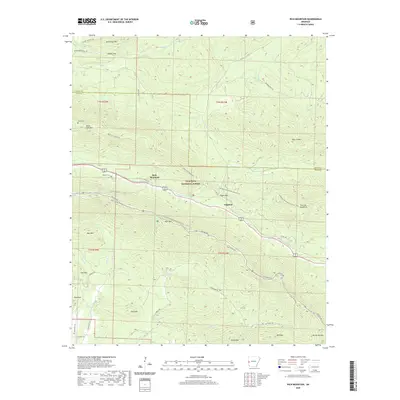 2020 Rich Mountain2020 Print · USGSThe Ouachita Mountains at the Arkansas border are captured here in high detail, showing the intersection of forest service life and remote settlements. Genealogists can locate family sites like Sexton Cem and Little Cem tucked between Rich Mountain and Black Fork Mountain.
 - 2020 Map of Harvey, 2020 Print
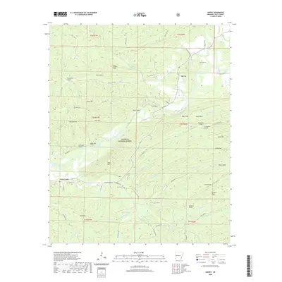 2020 Harvey2020 Print · USGSScott County and the Ouachita National Forest are shown here during the early twenty-first century, revealing a landscape of remote mountain ridges and river bottoms. Family researchers can trace local roots through Harvey Cem, Sanders Cem, and the old crossroads at Harvey.
 - 2020 Map of Y City, 2020 Print
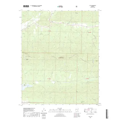 2020 Y City2020 Print · USGSY City and the surrounding Ouachita National Forest are shown here in the 2020s at the junction of the Scott and Polk county line. Researchers can locate the Chant Cem, trace the Ouachita National Recreation Trail, and find the Irons Fork Reservoir.
Showing maps 1-25 of 53
Top cities of Scott County
Frequently asked questions
- What are the different types of historical maps available for Scott County?
- What is the oldest map of Scott County?
- Where can I purchase historical maps of Scott County for my home or office?
- Where can I download high-res historical maps of Scott County?
- Are there historical topographic maps available for Scott County?
- Is there historical aerial imagery available for Scott County?
- Where are historical maps of Scott County sourced from?