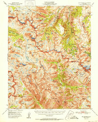
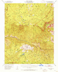
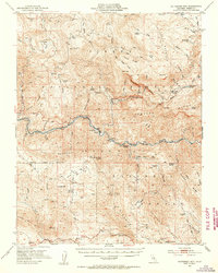
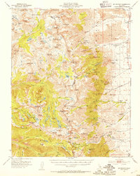
1950s Maps of Fresno County, California
Explore 88 historic maps of Fresno County from the 1950s. These maps offer a rare glimpse into what life looked like during the 1950s — showing old roads, neighborhoods, homes, and landmarks that have changed or disappeared over time.
Whether you're researching your family's past, planning a metal detecting trip, or studying how Fresno County's landscape evolved across the 1950s, these high-resolution maps are a powerful tool for exploring the history of this region.
- Focus on a specific era: All maps on this page are from the 1950s, giving you a focused view of this time period.
- See what’s changed: Compare century-old streets, trails, and buildings to today's modern landscape using overlays and satellite layers.
- Research with precision: Use these maps for genealogy, historical research, land use analysis, or educational projects.
- View, download, or print: Maps are fully viewable online in high resolution, and can be downloaded or printed for your own records.
Start exploring Fresno County's history through authentic maps from the 1950s. This is your window into the past.
Fresno County, CA maps
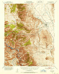
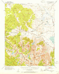
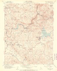
(88)- 1950 Map of Burrel
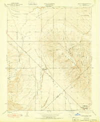
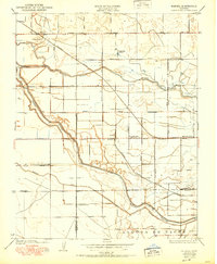 1950 Burrel1950 Print · USGSThe San Joaquin Valley landscape at mid-century reveals a complex irrigation network and rail-dependent economy. Genealogists and historians can trace old rural school districts like Elkhorn School and family-named landmarks such as Burrel Ranch.
 - 1950 Map of Burris Park
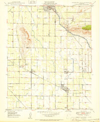
 1950 Burris Park1950 Print · USGSMid-century Kings and Tulare counties come alive in this survey of the irrigated San Joaquin Valley. Researchers can trace ancestral property near River Bend School, follow the Southern Pacific Railroad, or locate the historic Burris Park.
 - 1950 Map of Wahtoke
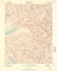
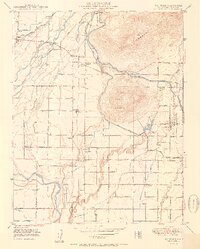 1950 Wahtoke1950 Print · USGSMid-century Fresno County is captured here as a landscape of intensive irrigation and foothill farming. Genealogists and local historians can trace rural roots through the Frankwood School, Wahtoke settlement, and the Acres Cem.2 unique versions available
 - 1950 Map of West of Lethent
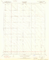 1950 West of Lethent1950 Print · USGSMid-century Fresno County land use is defined by a unique automotive-themed grid system in the San Joaquin Valley. Researchers can trace land boundaries along Packard Avenue, Cadillac Avenue, and Ford Avenue.
 - 1950 Map of Towne Oil Station
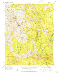
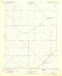 1950 Towne Oil Station1950 Print · USGSFresno County at mid-century reveals a landscape of industrial farming and oil-related infrastructure. Researchers can trace the development of the valley through Towne Oil Station, the Westside Sch, and the holdings of the Kings County Dev Co Farm No 1.
 - 1950 Map of Reef Ridge
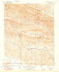
 1950 Reef Ridge1950 Print · USGSThe northern Kettleman Plain and Diablo Range transition into a landscape of remote ranching and early industry during the 1930s. Genealogists and historians can locate the Ernest Kreyenhagen Ranch, the Avenal Canyon Mine, and the Union Oil Co Pumping Sta.
 - 1950 Map of Canoas Creek
 1950 Canoas Creek1950 Print · USGSMid-century oil production and the development of the Kettleman Hills dominate this landscape along the Fresno-Kings county line. Researchers can trace the early layout of Avenal and the industrial footprint of the Associated Oil Pumping Sta.
 - 1950 Map of Lethent
 1950 Lethent1950 Print · USGSThe Central Valley river system and agricultural rail lines are preserved here as they appeared in the 1920s and 1950s. Trace the rural landscape along the Kings River to find the Lethent School and the Southern Pacific rail corridor.
 - 1950 Map of Orange Cove South
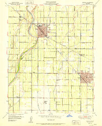
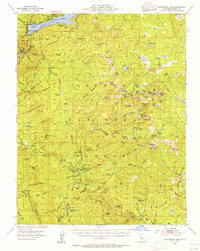
 1950 Orange Cove South1950 Print · USGSTulare County's agricultural heartland is documented here at mid-century, revealing a dense grid of irrigation canals and rail lines. Genealogists and historians can locate family landmarks such as Smith Mtn Cemetery, Mt Olive School, and the busy rail hubs of Sultana and Cutler.
 - 1950 Map of Orange Cove North
 1950 Orange Cove North1950 Print · USGSOrange Cove and the surrounding citrus groves are shown at mid-century as the local irrigation and rail networks reached their peak. Researchers can trace the path of the Atchison Topeka and Santa Fe railroad or locate the Saint Rita Indian Mission near Squaw Valley.
 - 1950 Map of The Dark Hole
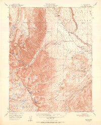
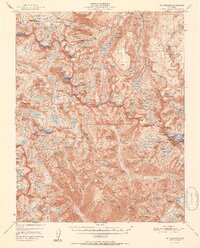
 1950 The Dark Hole1950 Print · USGSThe remote interior where Fresno, Monterey, and Kings counties meet is captured here in the mid-twentieth century, showcasing a landscape of high ridges and isolated cabins. Genealogists and historians can locate specific sites like Kings Mine, Twentysix Camp, and Pinoso House (Ruins).
 - 1950 Map of Big Pine, 1952 Print
 1950 Big Pine1952 Print · USGSBig Pine and the Owens Valley are captured here in the early fifties, showing the vital intersection of the Southern Pacific railroad and local irrigation. Researchers can trace the legacy of the Big Pine Rancheria, the County Farm, and the high-altitude route of the John Muir Trail.5 unique versions available
 - 1951 Map of Mt. Tom
 1951 Mt. Tom1951 Print · USGSInyo County mining reached its peak in the early fifties as tungsten and vanadium extraction transformed the eastern Sierra slopes. Researchers can trace the era's industrial footprint through the Pine Creek Mine, Tungsten Hills, and the company town at Rovana.2 unique versions available
 - 1951 Map of Reedley
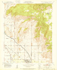
 1951 Reedley1951 Print · USGSIn the fertile San Joaquin Valley during the early 1950s, the agricultural landscape between Reedley and Dinuba was shaped by the Kings River. Genealogists and local historians can trace family roots through numerous country schools like Kings River School and small settlements such as Delft Colony.
 - 1951 Map of Mt. Goddard
 1951 Mt. Goddard1951 Print · USGSHigh Sierra wilderness and the crest of the Sierra Nevada are captured here in the early fifties, documenting a vast landscape of granite peaks and glacial lakes. Researchers can trace historic mineral sites like the Cardinal Mine and Sally Peterson Mine or locate high-country crossings at Muir Pass.2 unique versions available
 - 1952 Map of Mt. Goddard
 1952 Mt. Goddard1952 Print · USGSThe High Sierra backcountry is captured here in the early fifties, documenting the remote intersection of Fresno and Inyo counties. Researchers can trace the era's mining and recreation footprint at sites like Schober Mine, Parchers Camp, and the Cardinal Mine.2 unique versions available
 - 1952 Map of Tehipite Dome, 1955 Print
 1952 Tehipite Dome1955 Print · USGSThe high Sierra backcountry of Fresno County comes into focus in the early fifties, documenting the sequoia groves and river canyons of the Kings River watershed. Local historians can locate Hume, the site of Camp Seven, and specific redwood stands like the Converse Basin Grove.5 unique versions available
 - 1952 Map of Patterson Mountain, 1955 Print
 1952 Patterson Mountain1955 Print · USGSThe High Sierra foothills meet the Kings River in the early fifties, just as the landscape was transforming for new water projects. Researchers can trace historic forest service outposts like Fence Meadow Lookout and river settlements at Kirch Flat or Balch Camp.5 unique versions available
 - 1953 Map of Mt. Pinchot, 1954 Print
 1953 Mt. Pinchot1954 Print · USGSThe High Sierra and Owens Valley meet in the early fifties, showing a landscape of alpine trails and mining claims. Trace the John Muir Trail past the Kearsarge Pinnacles or locate the historic Rex Montis Mine and the Division Creek Powerhouse.6 unique versions available
 - 1953 Map of Mt. Morrison, 1955 Print
 1953 Mt. Morrison1955 Print · USGSThe Eastern Sierra Nevada and Owens River valley appear here in the early fifties, a time of both ranching and high-altitude recreation. Genealogists and historians can trace Arcularius Ranch, the site at Old Mammoth, and the Scheelore Mine among the mountain peaks.7 unique versions available
 - 1953 Map of Mt Abbot, 1955 Print
 1953 Mt Abbot1955 Print · USGSThe central Sierra Nevada is captured here during a decade of infrastructure expansion and wilderness trekking. Researchers can trace the John Muir Trail, locate the Pick and Shovel Mine, or identify seasonal landmarks like Kip Camp.7 unique versions available
 - 1953 Map of Devils Postpile, 1955 Print
 1953 Devils Postpile1955 Print · USGSThe high Sierra back-country is captured in the early 1950s, a period where mining history and emerging recreation met at the crest. You can trace the rugged network of pack trails and early ranger stations including Reds Meadow RS, the Minaret Mine, and the iconic Devils Postpile.6 unique versions available
 - 1953 Map of Huntington Lake, 1955 Print
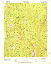
 1953 Huntington Lake1955 Print · USGSThe Fresno County high country is shown in the early fifties as a hub of timber milling and mountain recreation. Researchers can locate remote logging outposts like Pine Logging Camp and Bretz Mill, or trace the trails around Dinkey Creek Ranger Sta and Mc Kinley Grove.4 unique versions available
 - 1953 Map of Shaver Lake, 1955 Print
 1953 Shaver Lake1955 Print · USGSThe Sierra Nevada high country comes into focus in the mid-1950s as a hub of hydroelectric power and mountain settlement. Genealogists and historians can trace families and worksites at Italian Bar, the Old Bretz Mill, and the Wish-i-Ah Sanatorium.5 unique versions available
 - 1953 Map of Shuteye Peak, 1955 Print
 1953 Shuteye Peak1955 Print · USGSThe High Sierra backcountry of Madera County comes alive in the early fifties, showing a landscape of cattle camps and timber outposts. Researchers can trace the locations of old forest homesteads like Buchenau Cabin, the active Weissman Mine, and the site of Central Camp.3 unique versions available
Showing maps 1-25 of 88
Top cities of Fresno County
- Fresno historical maps
- Clovis historical maps
- Reedley historical maps
- Sanger historical maps
- Selma historical maps
- Coalinga historical maps
See more
Frequently asked questions
- What are the different types of historical maps available for Fresno County?
- What is the oldest map of Fresno County?
- Where can I purchase historical maps of Fresno County for my home or office?
- Where can I download high-res historical maps of Fresno County?
- Are there historical topographic maps available for Fresno County?
- Is there historical aerial imagery available for Fresno County?
- Where are historical maps of Fresno County sourced from?