2000s (21st Century) Maps of Fresno County, California
Explore 606 historic maps of Fresno County from the 2000s (21st Century). These maps offer a rare glimpse into what life looked like during the 2000s — showing old roads, neighborhoods, homes, and landmarks that have changed or disappeared over time.
Whether you're researching your family's past, planning a metal detecting trip, or studying how Fresno County's landscape evolved across the 2000s, these high-resolution maps are a powerful tool for exploring the history of this region.
- Focus on a specific era: All maps on this page are from the 2000s, giving you a focused view of this time period.
- See what’s changed: Compare century-old streets, trails, and buildings to today's modern landscape using overlays and satellite layers.
- Research with precision: Use these maps for genealogy, historical research, land use analysis, or educational projects.
- View, download, or print: Maps are fully viewable online in high resolution, and can be downloaded or printed for your own records.
Start exploring Fresno County's history through authentic maps from the 2000s. This is your window into the past.
Fresno County, CA maps
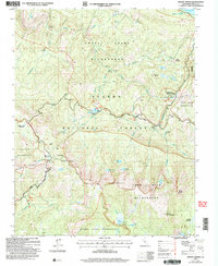
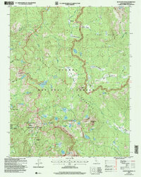
(606)- 2000 Map of Cerro Colorado, 2002 Print
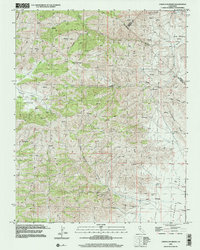 2000 Cerro Colorado2002 Print · USGSThe Diablo Range uplands in the early twenty-first century reveal a landscape of isolated canyons and historic mining claims. Trace old diggings like the Mercey Mine or follow the winding Little Panoche Road through Little Panoche Valley.
 - 2000 Map of Ortigalita Peak, 2002 Print
 2000 Ortigalita Peak2002 Print · USGSThe California Coast Ranges at the turn of the millennium reveal a landscape of high ridges and remote canyons where three counties meet. Researchers can trace land grant history and spring-fed sites like Carranza Spring, Ortigalita Peak, and the Little Pan Oche Valley.
 - 2000 Map of Tumey Hills, 2002 Print
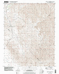
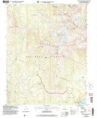
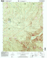
 2000 Tumey Hills2002 Print · USGSThe Fresno and San Benito county line is marked by industrial activity and arid terrain at the start of the twenty-first century. Researchers can trace resource development at the Vallecitos Oil Field or locate landmarks like the Gaging Station and Tumey Gulch.2 unique versions available
 - 2000 Map of Mercey Hot Springs, 2002 Print
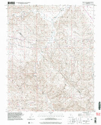
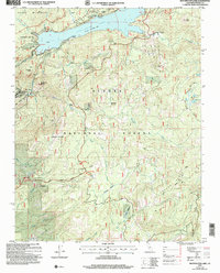
 2000 Mercey Hot Springs2002 Print · USGSThe Fresno and San Benito county line comes alive in the late twentieth century, showing a remote landscape of mineral springs and high ridges. Researchers can trace the layout of Mercey Hot Springs or locate the Landing Strip and high-altitude Mine sites.
 - 2004 Map of Patterson Mountain, 2007 Print
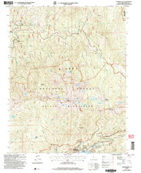
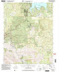
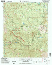 2004 Patterson Mountain2007 Print · USGSThe Sierra National Forest backcountry is captured here just after the turn of the millennium, showing a high-altitude landscape of hydroelectric power and timber history. Researchers can trace the industrial footprint of Balch Camp and Haas Powerhouse or locate old landmarks like Sawmill Flat and Ross Crossing.
 - 2004 Map of Mount Givens, 2007 Print
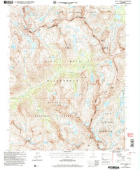
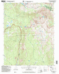
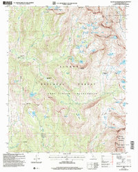
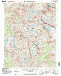
 2004 Mount Givens2007 Print · USGSThe High Sierra near Fresno is documented here in the early 2000s, showcasing the intersection of five distinct wilderness areas. Genealogists and historians can trace high-country seasonal sites like Mono Hot Springs Resort, Weldons Camp, and the high-elevation Kaiser Pass Road.2 unique versions available
 - 2004 Map of Huntington Lake, 2007 Print
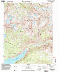
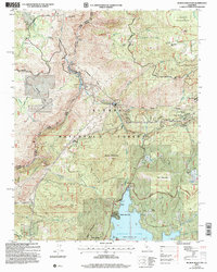
 2004 Huntington Lake2007 Print · USGSThe High Sierra near Huntington Lake is shown here in the early 2000s, balancing hydroelectric power and seasonal tourism. Researchers can trace the layout of mountain settlements like Cedar Crest and Big Creek or locate landmarks like Powerhouse No. 1.
 - 2004 Map of Kaiser Peak, 2007 Print
 2004 Kaiser Peak2007 Print · USGSThe high Sierra country of eastern Fresno County is detailed here just after the millennium, showing the intersection of utility infrastructure and wilderness. You can trace the trails and outposts of the Kaiser Wilderness, from Lakeshore to the historic Kaiser Diggings.2 unique versions available
 - 2004 Map of Mount Abbot, 2007 Print
 2004 Mount Abbot2007 Print · USGSThe High Sierra at the dawn of the millennium is revealed through this detailed study of the triple-county junction. Hikers and historians can trace traditional routes over Mono Pass and Hopkins Pass or explore the alpine waters of Pioneer Basin and Little Lakes Valley.2 unique versions available
 - 2004 Map of Ward Mountain, 2007 Print
 2004 Ward Mountain2007 Print · USGSThe High Sierra backcountry near the Fresno-Inyo border is shown here at the start of the new millennium, centered on the John Muir Wilderness. Researchers can trace the drainage of the South Fork San Joaquin River and locate remote landmarks like Muir Trail Ranch and Blayney Meadows.
 - 2004 Map of Mount Goddard, 2007 Print
 2004 Mount Goddard2007 Print · USGSThe High Sierra backcountry is documented in detail here during the early 2000s, showing the intersection of several major wilderness areas. Trace the high-altitude route of the John Muir National Scenic Trail and explore peaks like Mount Goddard and the Black Giant.2 unique versions available
 - 2004 Map of Dinkey Creek, 2007 Print
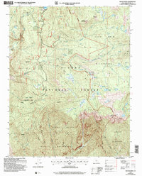
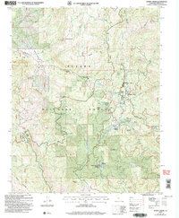 2004 Dinkey Creek2007 Print · USGSIn the central Sierra Nevada at the start of the millennium, this area shows a landscape defined by forest management and mountain recreation. Researchers can trace the Bretz Mill (Site), the Bald Mountain Lookout, and established camps like Byles Jamison Camp.
 - 2004 Map of Graveyard Peak, 2007 Print
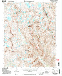
 2004 Graveyard Peak2007 Print · USGSThe high Sierra backcountry of Fresno County comes into focus in this early 2000s survey of the wilderness surrounding Lake Thomas A Edison. Trace high-altitude routes along the John Muir Trail or locate remote landmarks like the Pick and Shovel Mine and Devils Bathtub.
 - 2004 Map of Blackcap Mountain, 2007 Print
 2004 Blackcap Mountain2007 Print · USGSThe high Sierra back-country of the early 2000s is charted here, centered on the Blackcap Mountain wilderness. You can trace high-altitude routes like the High Sierra Trail and find remote sites such as Meadow Brook Cabin.
 - 2004 Map of Musick Mountain, 2007 Print
 2004 Musick Mountain2007 Print · USGSThe High Sierra backcountry of Madera and Fresno counties comes into focus in this early 2000s study of the San Joaquin River corridor. Researchers can trace the industrial legacy of the Mammoth Pool Powerhouse alongside family landmarks like Hogue Ranch and Ross Cabin.2 unique versions available
 - 2004 Map of Shaver Lake, 2007 Print
 2004 Shaver Lake2007 Print · USGSHigher elevation forest life in the central Sierras is captured here in the early 2000s, centered on the Shaver Lake reservoir. Researchers can locate former timber industry hubs like Old Bretz Mill and landmarks such as the Pine Ridge Sch.
 - 2004 Map of Sharktooth Peak, 2007 Print
 2004 Sharktooth Peak2007 Print · USGSThe high Sierras in the mid-2000s show a landscape shaped by wilderness preservation and seasonal recreation. Researchers can trace the rugged topography from Sharktooth Peak down to the Vermilion Valley Resort and the meadows along the Onion Springs OHV Route.
 - 2004 Map of Cascadel Point, 2007 Print
 2004 Cascadel Point2007 Print · USGSAs the hydroelectric network matured in the early 2000s, this area of the Sierra Nevada foothills maintained its remote character. Genealogists and researchers can trace local landmarks like Chawanakee Sch, the settlement at Cascadel, and the historical Italian Bar.
 - 2004 Map of Dogtooth Peak, 2007 Print
 2004 Dogtooth Peak2007 Print · USGSThe Sierra high country near Fresno is shown here in the early 2000s, detailing a backcountry world of glacial lakes and 4WD trails. Researchers can locate remote sites like the Rainbow Mine, Quails Camp, and the high ridges of the Three Sisters.
 - 2004 Map of Tehipite Dome, 2007 Print
 2004 Tehipite Dome2007 Print · USGSThe high Sierra Nevada backcountry is revealed in the early 2000s, where three major wilderness areas meet. Trace the historic High Sierra Trail through the Tehipite Valley to find remote landmarks like Tehipite Dome and Painted Rock.
 - 2004 Map of Mount Hilgard, 2007 Print
 2004 Mount Hilgard2007 Print · USGSThe High Sierra backcountry near the Fresno and Inyo county line is captured here during the early 2000s, showcasing a landscape of granite peaks and alpine basins. Hikers and historians can trace the paths of the John Muir Trail and Pacific Crest National Scenic Trail as they wind past Marie Lake and through Hutchinson Meadow.2 unique versions available
 - 2004 Map of Rough Spur, 2007 Print
 2004 Rough Spur2007 Print · USGSBackcountry Sierra terrain is mapped here at a time when wilderness boundaries protected high-country meadows and peaks. You can trace the development around Wishon Reservoir, including Cliff Camp, and find remote landmarks like Spanish Mountain and Finger Rock.
 - 2004 Map of Balloon Dome, 2007 Print
 2004 Balloon Dome2007 Print · USGSThe Madera and Fresno county lines meet in the high Sierra during the early 2000s, showing a landscape defined by protected wilderness. Hikers and historians can trace the remote San Joaquin River canyon and landmarks like Balloon Dome or the Cassidy Bridge.
 - 2004 Map of Mammoth Pool Dam, 2007 Print
 2004 Mammoth Pool Dam2007 Print · USGSThe high Sierra landscape during the early 2000s reveals a unique blend of hydroelectric infrastructure and remote wilderness near the Madera and Fresno county line. Researchers can trace the development of the San Joaquin River at the Mammoth Pool Reservoir and locate legacy sites like Wagner's Mammoth Pool Resort and Wieseman Mine.
 - 2004 Map of Piyau Dome, 2007 Print
 2004 Piyau Dome2007 Print · USGSMadera County’s high forest country is documented here in the early 2000s as it transitions from managed timberlands into protected wilderness areas. Map collectors can trace the layout of the Minarets Work Center, Topping Cow Camp, and the shore of the Mammoth Pool Reservoir.
Showing maps 1-25 of 606
Top cities of Fresno County
- Fresno historical maps
- Clovis historical maps
- Reedley historical maps
- Sanger historical maps
- Selma historical maps
- Coalinga historical maps
See more
Frequently asked questions
- What are the different types of historical maps available for Fresno County?
- What is the oldest map of Fresno County?
- Where can I purchase historical maps of Fresno County for my home or office?
- Where can I download high-res historical maps of Fresno County?
- Are there historical topographic maps available for Fresno County?
- Is there historical aerial imagery available for Fresno County?
- Where are historical maps of Fresno County sourced from?