1960s Maps of Fresno County, California
Explore 71 historic maps of Fresno County from the 1960s. These maps offer a rare glimpse into what life looked like during the 1960s — showing old roads, neighborhoods, homes, and landmarks that have changed or disappeared over time.
Whether you're researching your family's past, planning a metal detecting trip, or studying how Fresno County's landscape evolved across the 1960s, these high-resolution maps are a powerful tool for exploring the history of this region.
- Focus on a specific era: All maps on this page are from the 1960s, giving you a focused view of this time period.
- See what’s changed: Compare century-old streets, trails, and buildings to today's modern landscape using overlays and satellite layers.
- Research with precision: Use these maps for genealogy, historical research, land use analysis, or educational projects.
- View, download, or print: Maps are fully viewable online in high resolution, and can be downloaded or printed for your own records.
Start exploring Fresno County's history through authentic maps from the 1960s. This is your window into the past.
Fresno County, CA maps
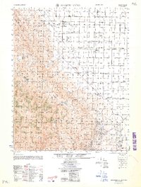
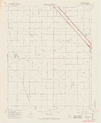
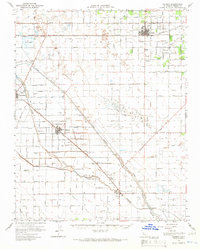
(71)- 1960 Map of Fresno
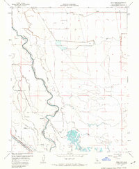
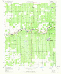
 1960 Fresno1960 Print · USGSThe San Joaquin Valley's mid-century agricultural boom meets the high peaks of the Sierra Nevada in this detailed survey. Genealogists and historians can trace the rail-driven growth of Fresno, Tulare, and Visalia or locate family roots in smaller towns like Raisin City and Calwa City.2 unique versions available
 - 1961 Map of Parkfield, 1962 Print
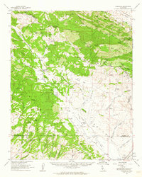 1961 Parkfield1962 Print · USGSParkfield and the Cholame Valley are captured here in the early sixties, a time of isolated ranching and mineral exploration along the San Andreas fault line. Researchers can trace family history through the Parkfield Cemetery or locate old operations like the Patriquin Mine and White Mine.2 unique versions available
 - 1961 Map of The Dark Hole, 1962 Print
 1961 The Dark Hole1962 Print · USGSThe remote High Desert borderlands of Central California come alive in the early sixties, showing a landscape of mining claims and rugged cattle ranching. Genealogists and historians can trace family outposts like Taylor Ranch or search for the sites of Kings Mine and the Riley Cabin.4 unique versions available
 - 1961 Map of Parkfield, 1962 Print
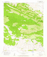
 1961 Parkfield1962 Print · USGSThe ranching and mining country of the California Coast Ranges comes into focus during the early sixties near the Monterey-Fresno border. Genealogists and historians can locate the Parkfield settlement, the local Cem, and sites like the Patriquin Mine or Hog Ranch.3 unique versions available
 - 1962 Map of Joaquin Rocks
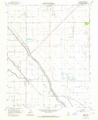
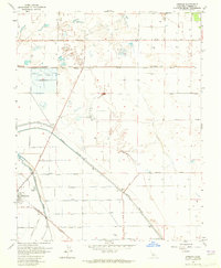
 1962 Joaquin Rocks1962 Print · USGSFresno County ranching and energy production intersect in the early sixties along the foothills of Monocline Ridge. Genealogists and historians can trace family operations like Giffen Cantua Ranch and the early footprint of the Coalinga Oil Field.
 - 1962 Map of San Jose
 1962 San Jose1962 Print · USGSCentral California in the early sixties showcases the expansion of the San Joaquin and Santa Clara valleys. Researchers can trace the rail-to-road transition along the Southern Pacific RR or locate landmarks like Castle USAF Base and Loma Prieta.4 unique versions available
 - 1962 Map of Santa Rita Park, 1963 Print
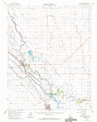
 1962 Santa Rita Park1963 Print · USGSMerced County ranchlands and the Central Valley's complex water network are documented here in the early sixties. Genealogists and local historians can trace legacy holdings like the Miller and Lux Ranch or locate the Flynn Duck Club and Santa Rita Park.
 - 1962 Map of Poso Farm, 1963 Print
 1962 Poso Farm1963 Print · USGSThe Central Valley borderlands of Fresno and Madera Counties come alive in this early 1960s survey of industrial agriculture. Trace the intricate irrigation systems of the Columbia Canal and the Southern Pacific rail line near Poso Farm.2 unique versions available
 - 1962 Map of Santa Rita Bridge, 1963 Print
 1962 Santa Rita Bridge1963 Print · USGSThe San Joaquin Valley at the start of the 1960s reveals an intricate landscape of water control and ranching where Merced, Madera, and Fresno counties meet. Genealogists and historians can trace the foundations of local agriculture through family-named sites like Lucerne Ranch, Santa Rita Park, and Colony Farm.2 unique versions available
 - 1962 Map of Firebaugh, 1964 Print
 1962 Firebaugh1964 Print · USGSCentral Valley agriculture and irrigation are in full focus here during the early sixties. Researchers can trace the water infrastructure of the Mendota Pool or locate family-named operations like Mowry Ranch and Helm Ranch.
 - 1962 Map of Fresno, 1968 Print
 1962 Fresno1968 Print · USGSThe Central Valley and High Sierra meet in this mid-century survey, capturing the region's massive irrigation systems and mountain wilderness. Researchers can trace the rail corridors of the Southern Pacific and locate landmarks like the Tulare Lake Bed and Mount Whitney.3 unique versions available
 - 1962 Map of Blackcap Mtn, 1972 Print
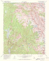 1962 Blackcap Mtn1972 Print · USGSThe High Sierra backcountry of Fresno County comes into focus during the early 1960s, showing the high-elevation interface of forest and park lands. Trace the routes of the John Muir Trail and find remote sites like Diamond D Ranch or the aptly named Hell for Sure Pass.2 unique versions available
 - 1963 Map of Mariposa
 1963 Mariposa1963 Print · USGSThe High Sierra and Owens Valley meet in the early sixties, showing a landscape defined by gold-rush history and massive post-war water projects. Genealogists and researchers can trace old mining routes near Mariposa, locate the Glacier Point Hotel, and find small settlements like Coarse Gold or Knowles Junction.
 - 1963 Map of Conejo, 1964 Print
 1963 Conejo1964 Print · USGSFresno County agriculture and transit are on full display in the early sixties, showing a landscape defined by canals and competing rail lines. Trace family history at Monmouth or Conejo and locate rural landmarks like Monroe Sch and Fowler Cem.4 unique versions available
 - 1963 Map of Gravelly Ford, 1964 Print
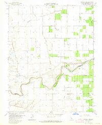 1963 Gravelly Ford1964 Print · USGSMadera and Fresno counties meet along the San Joaquin Valley floor in the early 1960s, a landscape defined by industrial-scale irrigation and rural ranching. Genealogists and local researchers can locate the Gravelly Ford Ranch, La Vina Sch, and the winding path of the San Joaquin River.3 unique versions available
 - 1963 Map of Kearney Park, 1964 Print
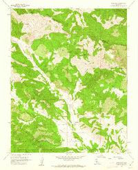
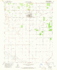
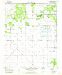 1963 Kearney Park1964 Print · USGSThe rural landscape west of Fresno in the early sixties reveals a transition from small rail stops to large-scale municipal infrastructure. Genealogists and historians can trace family-named roads and community landmarks like Rolinda, the Houghton Kearney Union School, and Kearney Park.2 unique versions available
 - 1963 Map of Fresno South, 1964 Print
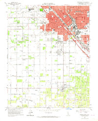 1963 Fresno South1964 Print · USGSSouthern Fresno and the surrounding agricultural tracts are seen here in the early sixties as urban growth began to edge into the surrounding farm colonies. Researchers can trace family roots through numerous local landmarks, including Easton, Washington Colony Cem, and Oleander.4 unique versions available
 - 1963 Map of Biola, 1964 Print
 1963 Biola1964 Print · USGSThe San Joaquin Valley landscape comes alive in this early 1960s survey of the agricultural border between Fresno and Madera counties. Researchers can trace the water-and-rail infrastructure that shaped the region, from the Madera Aqueduct to the local hub of Biola and the quiet Bethany Cemetery.4 unique versions available
 - 1963 Map of Helm, 1964 Print
 1963 Helm1964 Print · USGSAgricultural and industrial life in Fresno County comes into focus during the early sixties, centered on the railroad siding at Helm. Researchers can trace the extensive Raisin City Oil Field and the vital water routes of the Fresno Slough.2 unique versions available
 - 1963 Map of Raisin, 1964 Print
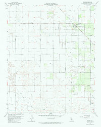 1963 Raisin1964 Print · USGSRaisin City and the surrounding Fresno County farm country are captured here in the early sixties, showing an landscape defined by irrigation and a strict section grid. Researchers can locate the local Cem, the Drag Strip, and water works like Liberty Ditch.
 - 1963 Map of Caruthers, 1964 Print
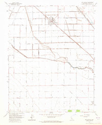
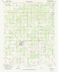 1963 Caruthers1964 Print · USGSFresno County's agricultural heartland is documented here in the early sixties, showing the structured growth of farming communities. Genealogists and local historians can trace family-named roads and landmarks like Caruthers, Four Acres Sanitarium, and the Alvina Sch.2 unique versions available
 - 1963 Map of Kerman, 1965 Print
 1963 Kerman1965 Print · USGSFresno County's agricultural heartland is documented here in the early sixties as a complex network of irrigation and rail. Researchers can trace the lineage of water and transport through the James Bypass, the Southern Pacific line, and local sites like Traction Ranch or the Raisin City Oil Field.2 unique versions available
 - 1963 Map of Kerman, 1965 Print
 1963 Kerman1965 Print · USGSThe agricultural heart of Fresno County comes into focus in the early sixties, centered on the rail-aligned town of Kerman. Genealogists and local researchers can trace family land via a dense grid of named roads like Muscat Ave and follow the path of the Southern Pacific through the valley.2 unique versions available
 - 1963 Map of Jamesan, 1965 Print
 1963 Jamesan1965 Print · USGSCentral California's agricultural heartland is captured in the early sixties, showing the vital rail and water networks near Tranquillity. Researchers can trace the Southern Pacific line and irrigation landmarks like the James Bypass and Traction Ranch.3 unique versions available
 - 1963 Map of San Joaquin, 1965 Print
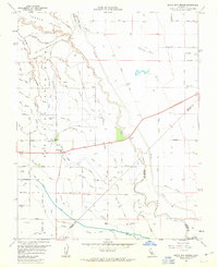
 1963 San Joaquin1965 Print · USGSSan Joaquin and the surrounding Fresno County acreage are shown here at the height of the valley's mid-century agricultural boom. Researchers can trace the Southern Pacific Railroad corridor, find industrial markers like the Cotton Gin, and locate numerous Oil Wells and Gas Wells scattered across the county-named grid.
Showing maps 1-25 of 71
Top cities of Fresno County
- Fresno historical maps
- Clovis historical maps
- Reedley historical maps
- Sanger historical maps
- Selma historical maps
- Coalinga historical maps
See more
Frequently asked questions
- What are the different types of historical maps available for Fresno County?
- What is the oldest map of Fresno County?
- Where can I purchase historical maps of Fresno County for my home or office?
- Where can I download high-res historical maps of Fresno County?
- Are there historical topographic maps available for Fresno County?
- Is there historical aerial imagery available for Fresno County?
- Where are historical maps of Fresno County sourced from?