1950s Maps of Glenn County, California
Explore 32 historic maps of Glenn County from the 1950s. These maps offer a rare glimpse into what life looked like during the 1950s — showing old roads, neighborhoods, homes, and landmarks that have changed or disappeared over time.
Whether you're researching your family's past, planning a metal detecting trip, or studying how Glenn County's landscape evolved across the 1950s, these high-resolution maps are a powerful tool for exploring the history of this region.
- Focus on a specific era: All maps on this page are from the 1950s, giving you a focused view of this time period.
- See what’s changed: Compare century-old streets, trails, and buildings to today's modern landscape using overlays and satellite layers.
- Research with precision: Use these maps for genealogy, historical research, land use analysis, or educational projects.
- View, download, or print: Maps are fully viewable online in high resolution, and can be downloaded or printed for your own records.
Start exploring Glenn County's history through authentic maps from the 1950s. This is your window into the past.
Glenn County, CA maps
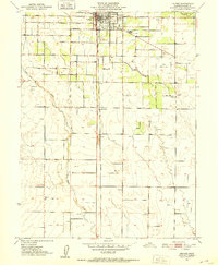
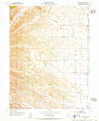
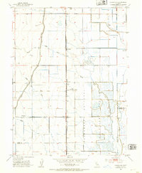
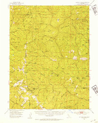
(32)- 1950 Map of Hamilton City
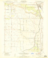 1950 Hamilton City1950 Print · USGSCovers Glenn County, including Mills Orchard, Hamilton City, and other nearby areas
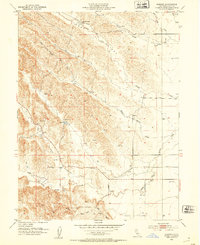
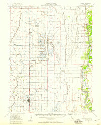
 - 1950 Map of Kirkwood
 1950 Kirkwood1950 Print · USGSCovers Glenn County, including Wyo, Kirkwood, and other nearby areas
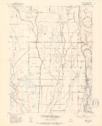
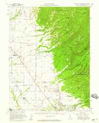
 - 1950 Map of Nelson
 1950 Nelson1950 Print · USGSCovers Glenn County, including Durham, Nelson, and other nearby areas
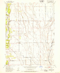
 - 1950 Map of Llano Seco
 1950 Llano Seco1950 Print · USGSCovers Glenn County, including Durham, Rancho Llano Seco, and other nearby areas2 unique versions available
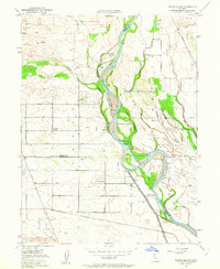
 - 1950 Map of Ord Ferry
 1950 Ord Ferry1950 Print · USGSCovers Glenn County, including Chico, Durham, and other nearby areas
 - 1950 Map of Foster Island, 1963 Print
 1950 Foster Island1963 Print · USGSCovers Glenn County, including Capay, Butte County, and other nearby areas4 unique versions available
 - 1951 Map of Foster Island
 1951 Foster Island1951 Print · USGSCovers Glenn County, including Capay, Butte County, and other nearby areas
 - 1951 Map of Nord, 1952 Print
 1951 Nord1952 Print · USGSCovers Glenn County, including Chico, Cana, and other nearby areas4 unique versions available
 - 1951 Map of Willows, 1952 Print
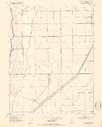
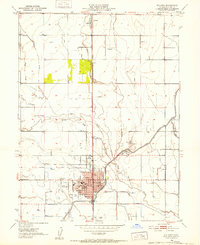 1951 Willows1952 Print · USGSCovers Glenn County, including Willows, Bluegum, and other nearby areas4 unique versions available
 - 1951 Map of Orland, 1952 Print
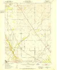
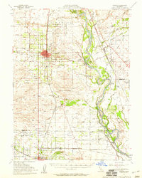
 1951 Orland1952 Print · USGSCovers Glenn County, including Grapit, Orland, and other nearby areas5 unique versions available
 - 1951 Map of Glenn, 1953 Print
 1951 Glenn1953 Print · USGSCovers Glenn County, including Glenn, Jacinto, and other nearby areas3 unique versions available
 - 1951 Map of Stonyford, 1953 Print
 1951 Stonyford1953 Print · USGSCovers Glenn County, including Bonnie View, Stonyford, and other nearby areas3 unique versions available
 - 1951 Map of Corning, 1959 Print
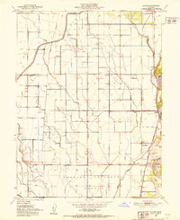
 1951 Corning1959 Print · USGSCovers Glenn County, including Corning, Los Molinos, and other nearby areas3 unique versions available
 - 1951 Map of Willows, 1959 Print
 1951 Willows1959 Print · USGSCovers Glenn County, including Willows, Mills Orchard, and other nearby areas
 - 1952 Map of Fruto NE
 1952 Fruto NE1952 Print · USGSCovers Glenn County, including United States, California, and other nearby areas3 unique versions available
 - 1952 Map of Kurand, 1953 Print
 1952 Kurand1953 Print · USGSCovers Glenn County, including United States, California, and other nearby areas4 unique versions available
 - 1952 Map of Princeton, 1953 Print
 1952 Princeton1953 Print · USGSCovers Glenn County, including Princeton, Codora, and other nearby areas3 unique versions available
 - 1952 Map of Butte City, 1953 Print
 1952 Butte City1953 Print · USGSCovers Glenn County, including Butte City, Afton, and other nearby areas4 unique versions available
 - 1952 Map of Logandale, 1953 Print
 1952 Logandale1953 Print · USGSCovers Glenn County, including Willows, Norman, and other nearby areas2 unique versions available
 - 1952 Map of West of Biggs, 1953 Print
 1952 West of Biggs1953 Print · USGSCovers Glenn County, including Butte County, United States, and other nearby areas3 unique versions available
 - 1952 Map of Paskenta, 1953 Print
 1952 Paskenta1953 Print · USGSCovers Glenn County, including Rancho Tehama Reserve, Pellow Place, and other nearby areas3 unique versions available
 - 1952 Map of Hull Mountain, 1954 Print
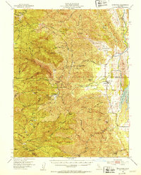
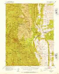
 1952 Hull Mountain1954 Print · USGSCovers Glenn County, including Carpenter Place, Lone Star, and other nearby areas4 unique versions available
 - 1952 Map of Anthony Peak, 1954 Print
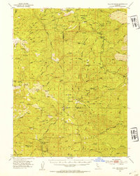
 1952 Anthony Peak1954 Print · USGSCovers Glenn County, including Hardy Place, Bollinger Place, and other nearby areas4 unique versions available
 - 1952 Map of Maxwell, 1958 Print
 1952 Maxwell1958 Print · USGSCovers Glenn County, including Willows, Maxwell, and other nearby areas2 unique versions available
 - 1952 Map of Richardson Springs, 1959 Print
 1952 Richardson Springs1959 Print · USGSCovers Glenn County, including Chico, Cana, and other nearby areas2 unique versions available
Showing maps 1-25 of 32
Top cities of Glenn County
Frequently asked questions
- What are the different types of historical maps available for Glenn County?
- What is the oldest map of Glenn County?
- Where can I purchase historical maps of Glenn County for my home or office?
- Where can I download high-res historical maps of Glenn County?
- Are there historical topographic maps available for Glenn County?
- Is there historical aerial imagery available for Glenn County?
- Where are historical maps of Glenn County sourced from?