2020s Maps of Monterey County, California
Explore 83 historic maps of Monterey County from the 2020s. These maps offer a rare glimpse into what life looked like during the 2020s — showing old roads, neighborhoods, homes, and landmarks that have changed or disappeared over time.
Whether you're researching your family's past, planning a metal detecting trip, or studying how Monterey County's landscape evolved across the 2020s, these high-resolution maps are a powerful tool for exploring the history of this region.
- Focus on a specific era: All maps on this page are from the 2020s, giving you a focused view of this time period.
- See what’s changed: Compare century-old streets, trails, and buildings to today's modern landscape using overlays and satellite layers.
- Research with precision: Use these maps for genealogy, historical research, land use analysis, or educational projects.
- View, download, or print: Maps are fully viewable online in high resolution, and can be downloaded or printed for your own records.
Start exploring Monterey County's history through authentic maps from the 2020s. This is your window into the past.
Monterey County, CA maps
(83)- 2021 Map of Cape San Martin OE W, 2021 Print
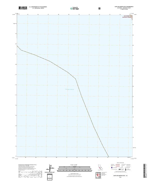 2021 Cape San Martin OE W2021 Print · USGSCoastal Monterey County meets the sea in this twenty-first-century survey focusing on the offshore transition to the Santa Lucia Range. Researchers can trace the maritime boundary where the Pacific Ocean reaches the edge of the Los Padres National Forest.
 - 2021 Map of Paraiso Springs, 2021 Print
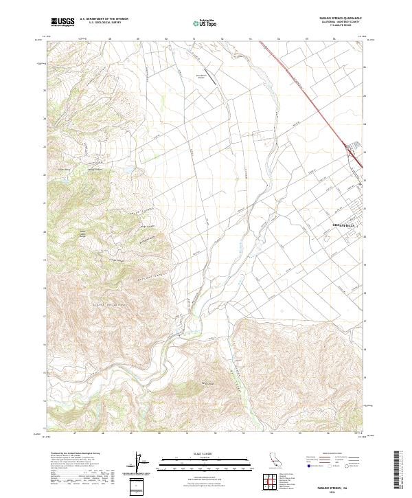 2021 Paraiso Springs2021 Print · USGSThe Salinas Valley meets the coastal ranges in the early 2020s, showing the intersection of agriculture and wilderness. Trace the transition from Greenfield streets to the heights of Pettits Peak and the winding Arroyo Seco.
 - 2021 Map of Greenfield, 2021 Print
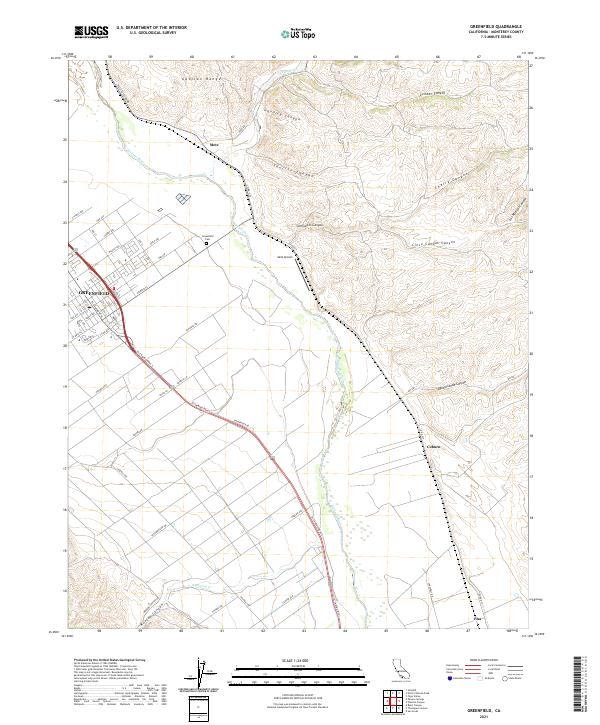 2021 Greenfield2021 Print · USGSIn the fertile Salinas Valley of the early 2020s, this area shows the established agricultural grid of Greenfield and its surrounding canyonlands. Researchers can trace the town's street names, locate the Greenfield Cem, and find the smaller stops of Metz and Coburn along the river.
 - 2021 Map of Monterey OE N, 2021 Print
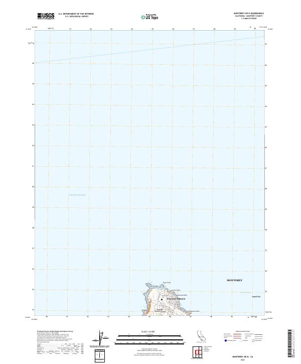 2021 Monterey OE N2021 Print · USGSThe tip of the Monterey Peninsula meets the sea in the early 2020s, showcasing the intricate coastal layout of the region. Local researchers can trace residential growth in Pacific Grove and locate landmarks like El Carmelo Cem and Point Pinos.
 - 2021 Map of Natividad, 2021 Print
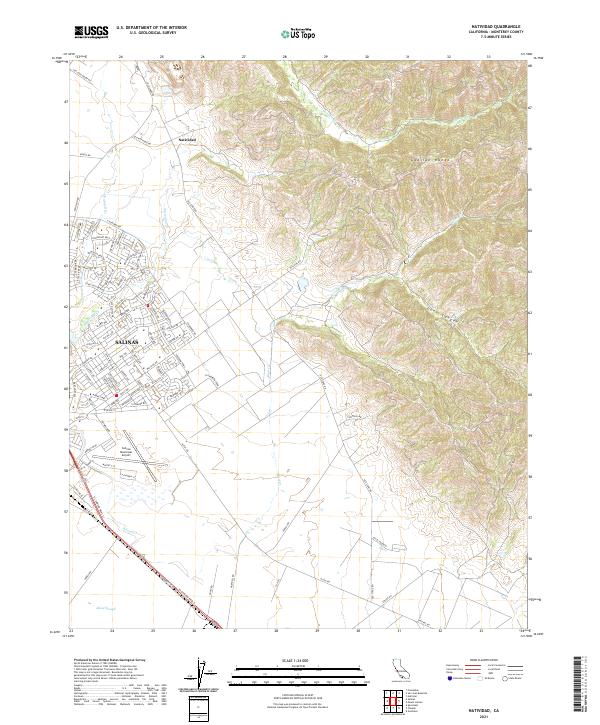 2021 Natividad2021 Print · USGSThe northern edge of the Salinas Valley meets the rising peaks of the Gabilan Range in this contemporary coastal California survey. Local historians can trace the development of Salinas near the Salinas Municipal Airport and along historic paths like Old Stage Rd.
 - 2021 Map of Alder Peak, 2021 Print
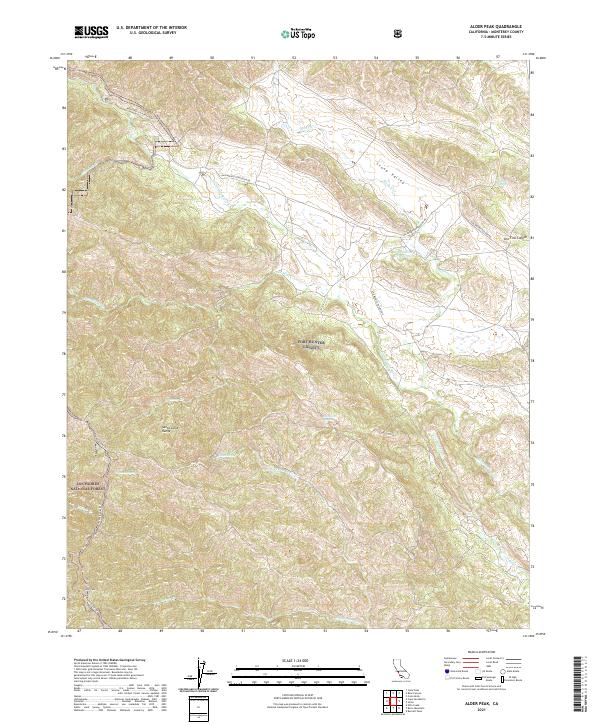 2021 Alder Peak2021 Print · USGSThe southern Monterey County backcountry is captured here during the early 2020s, showing the intersection of military and national forest lands. Local historians can trace the rugged terrain of the Santa Lucia Range and locate springs like Basket Spring and Squirrel Spring.
 - 2021 Map of Jolon, 2021 Print
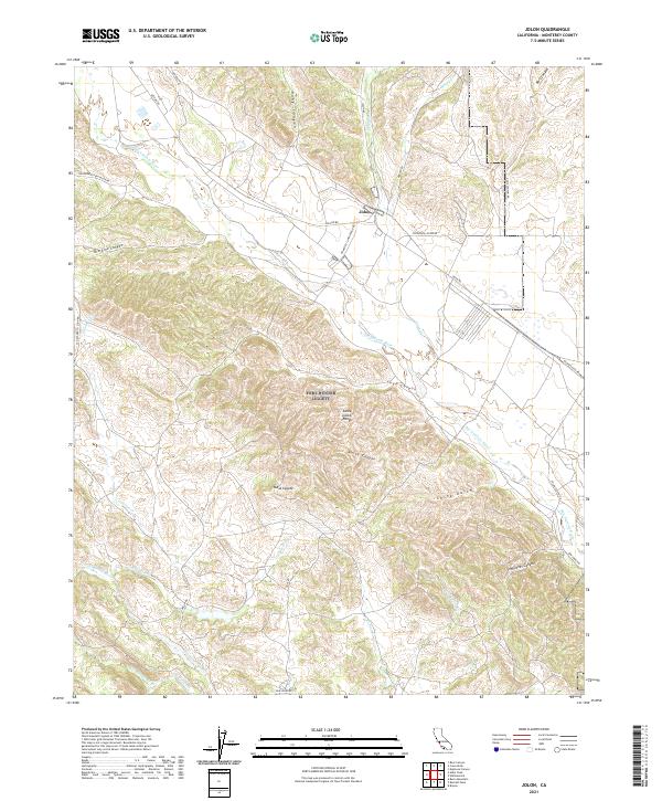 2021 Jolon2021 Print · USGSMonterey County's interior hills and the settlement of Jolon are shown here in the early twenty-first century. Researchers can trace the rugged topography of the Santa Lucia Range and locate family-named landmarks like Sam Jones Canyon, Mesa Coyote, and China Gulch.
 - 2021 Map of Spreckels, 2021 Print
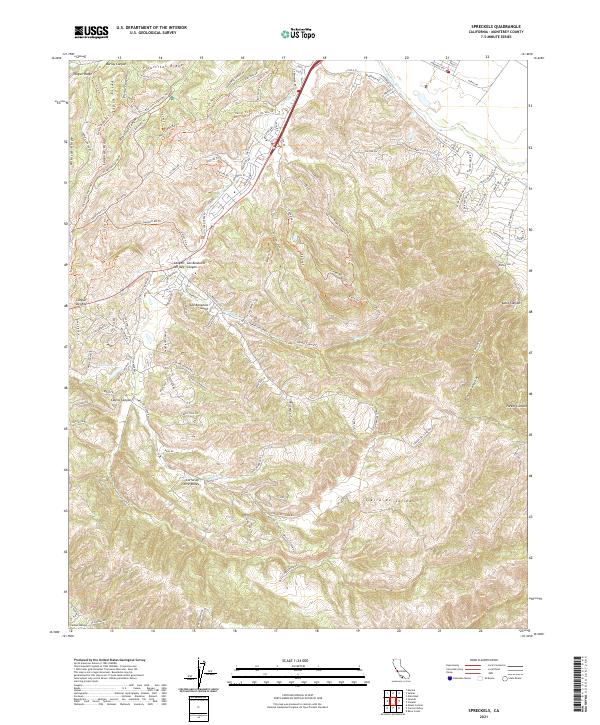 2021 Spreckels2021 Print · USGSMonterey County's complex ridge systems and secluded valleys are shown here in the 2020s. Trace local landmarks and canyon roads like John Steinbeck Trl, El Toro Lake, and the winding Salinas River.
 - 2021 Map of Mount Johnson, 2021 Print
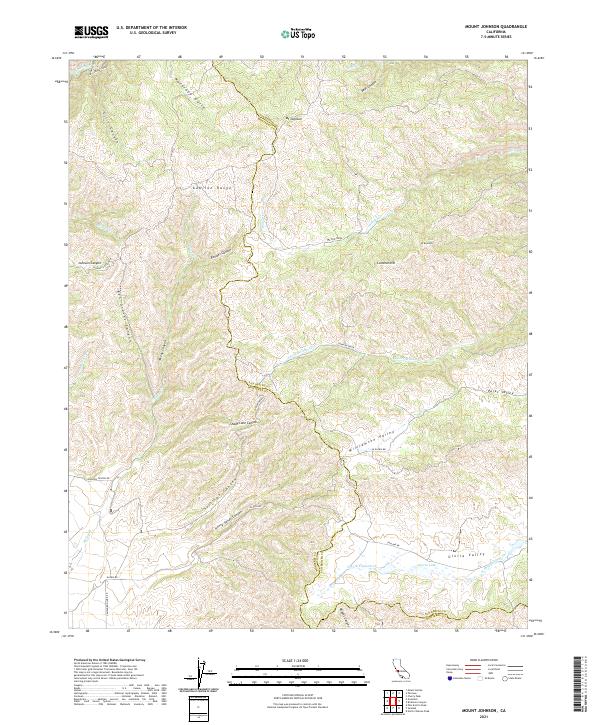 2021 Mount Johnson2021 Print · USGSThe Gabilan Range and its high valleys are captured here in the early twenty-first century along the Monterey-San Benito border. Trace the remote network of family-named landmarks and canyon passes, from Mt Johnson and Gloria Lake to the winding La Gloria Rd.
 - 2021 Map of Lopez Point, 2021 Print
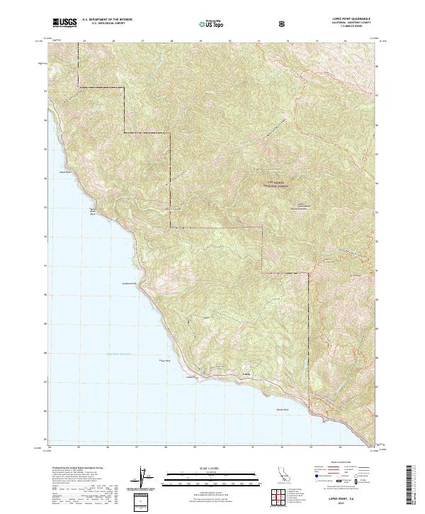 2021 Lopez Point2021 Print · USGSCoastal Monterey County is depicted here in the modern era, where the Santa Lucia Range meets the Pacific. Trace the remote settlement at Lucia, the acreage of Morning Glory Ranch, and rugged trails like the North Coast Ridge Trl.
 - 2021 Map of Prunedale, 2021 Print
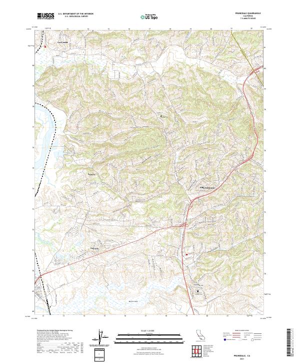 2021 Prunedale2021 Print · USGSNorthern Monterey County in the early twenty-first century reveals a landscape of tidal sloughs and canyon-carved hillsides. Genealogists and local historians can trace the roads around Prunedale, Hambey Cem, and the wetlands of Elkhorn Slough.
 - 2021 Map of Lopez Point OE W, 2021 Print
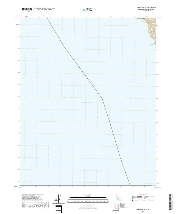 2021 Lopez Point OE W2021 Print · USGSThe Monterey coast in the early twenty-first century reveals a steep landscape dropping into the Pacific Ocean. Researchers can trace the drainage of Hot Springs Canyon and locate Slates Hot Springs near the rugged Dolan Ridge.
 - 2021 Map of Topo Valley, 2021 Print
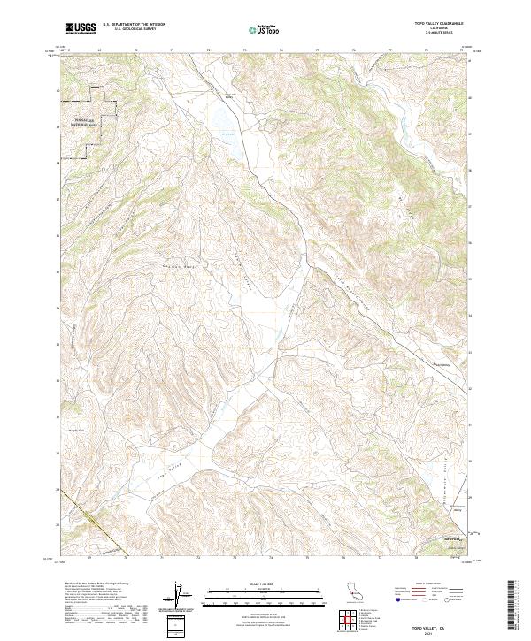 2021 Topo Valley2021 Print · USGSSan Benito County is shown here in its modern rural character, dominated by the ridges and canyons of the Coast Ranges. Genealogists and local historians can trace the remote settlement of Bitterwater and landmarks like Murphy Flat or Rabbit Valley.
 - 2021 Map of Bryson, 2021 Print
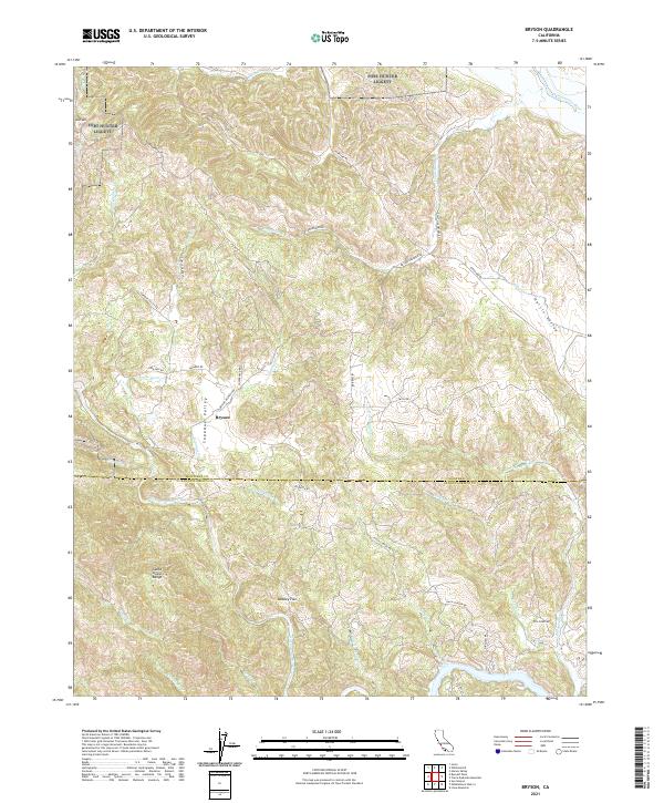 2021 Bryson2021 Print · USGSThe rural borderlands between Monterey and San Luis Obispo counties come alive in this recent survey. Local historians can trace the settlement at Bryson, follow the drainage of the Nacimiento River, and locate landmarks like Beasley Flat and the Santa Lucia Range.
 - 2021 Map of Mount Carmel, 2021 Print
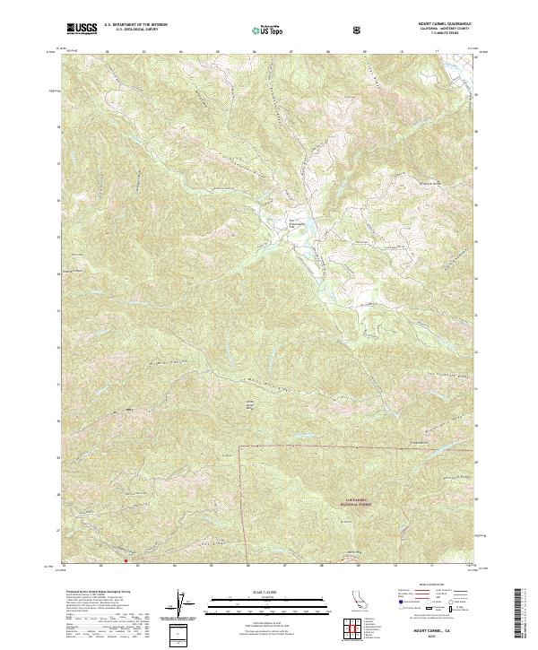 2021 Mount Carmel2021 Print · USGSThe Santa Lucia Range in Monterey County comes alive here, showing the intersection of forest lands and canyon settlements. Researchers can trace historic access routes like Rancho San Carlos Rd and find remote landmarks such as San Francisquito Flat or Vasquez Knob.
 - 2021 Map of Pfeiffer Point, 2021 Print
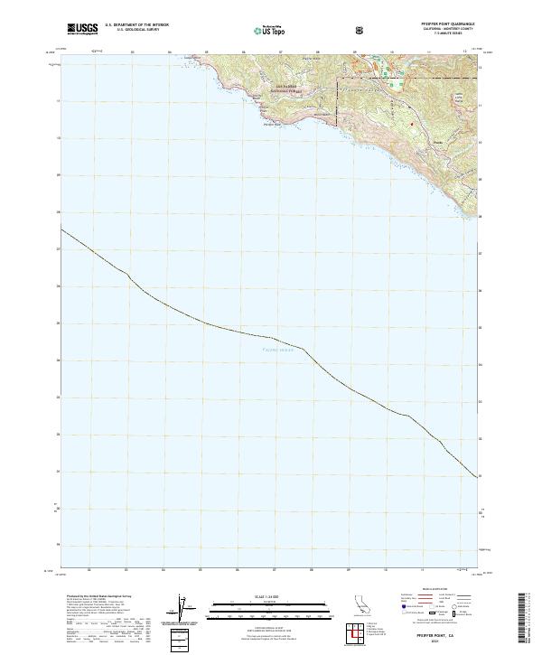 2021 Pfeiffer Point2021 Print · USGSThe Big Sur coast comes into focus in the early 2020s, showing where the mountains meet the Pacific. Genealogists and hikers can trace local routes like Pias Ranch Rd or locate the settlement at Posts near Pfeiffer Beach.
 - 2021 Map of Watsonville East, 2021 Print
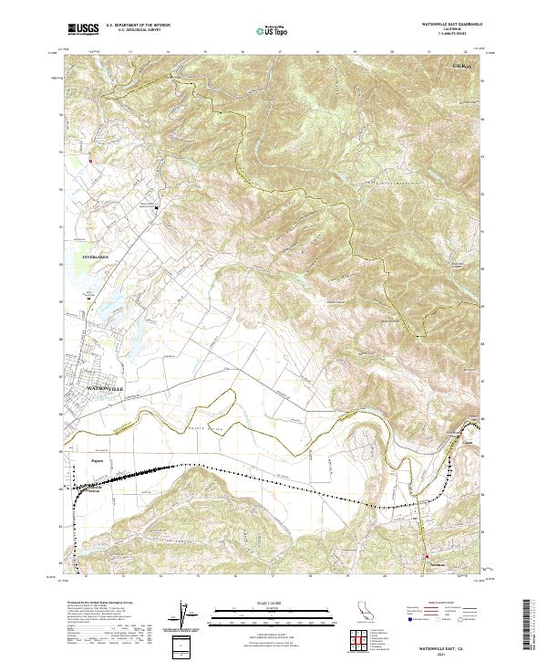 2021 Watsonville East2021 Print · USGSThe fertile Pajaro Valley and southern Santa Cruz Mountains meet in this recent survey of the tri-county border area. Researchers can trace land use patterns near Watsonville Junction or locate family sites at Saint Francis Cem and Aromas.
 - 2021 Map of Sycamore Flat, 2021 Print
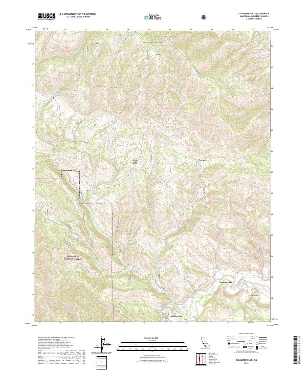 2021 Sycamore Flat2021 Print · USGSMonterey County’s mountain interior is mapped here in the early 2020s, showing the intersection of high ridges and river valleys. Researchers can locate remote holdings like Millers Ranch or trace the geography of the Arroyo Seco near Sycamore Flat.
 - 2021 Map of Cosio Knob, 2021 Print
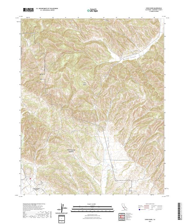 2021 Cosio Knob2021 Print · USGSMonterey County's interior is documented here in the early twenty-first century, showcasing the intersection of military and natural landscapes. Researchers can trace the boundaries of Fort Hunter Liggett and navigate the high ridges of the Santa Lucia Range and Cosio Knob.
 - 2021 Map of Carmel Valley, 2021 Print
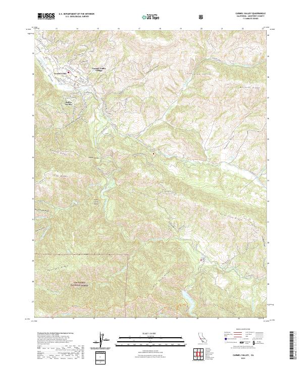 2021 Carmel Valley2021 Print · USGSCarmel Valley and the Santa Lucia Range are shown here in the 2020s, highlighting the area's mix of residential pockets and protected forest. Researchers can trace land development around Carmel Valley Village and Robles Del Rio or follow the many creeks that feed the Carmel River.
 - 2021 Map of Pinalito Canyon, 2021 Print
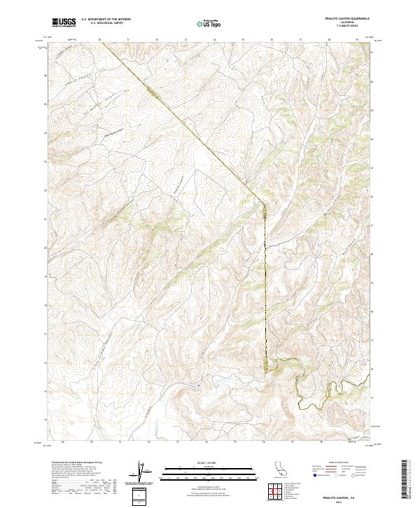 2021 Pinalito Canyon2021 Print · USGSMonterey and San Benito counties meet in this rugged canyon country as it appeared in 2021. Researchers can trace the winding course of San Lorenzo Cr and locate historical travel routes like Bitterwater Rd and Topo Valley Rd.
 - 2021 Map of San Juan Bautista, 2021 Print
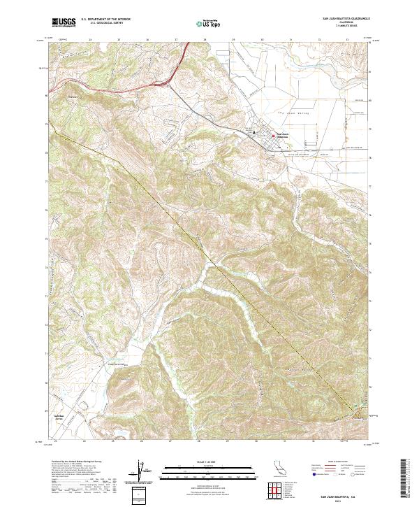 2021 San Juan Bautista2021 Print · USGSSan Juan Bautista and the rugged Gabilan Range are captured here in the early 2020s, showing the intersection of historic town life and mountain terrain. Researchers can trace the boundaries of San Juan Bautista Cemetery or locate landmarks like Fremont Peak and Lagunita Lake.
 - 2021 Map of Cone Peak, 2021 Print
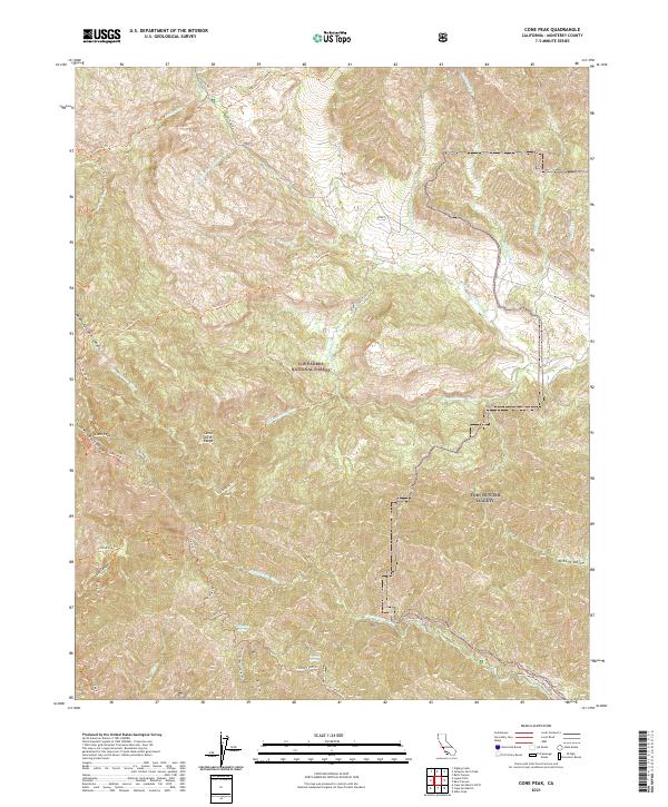 2021 Cone Peak2021 Print · USGSThe Santa Lucia Range of Monterey County is captured in this recent survey during a period of active land management. Researchers can trace the rugged network of the Coast Ridge Trl and Cone Peak Trl near Cone Peak and Wizard Gulch.
 - 2021 Map of Mount Harlan, 2021 Print
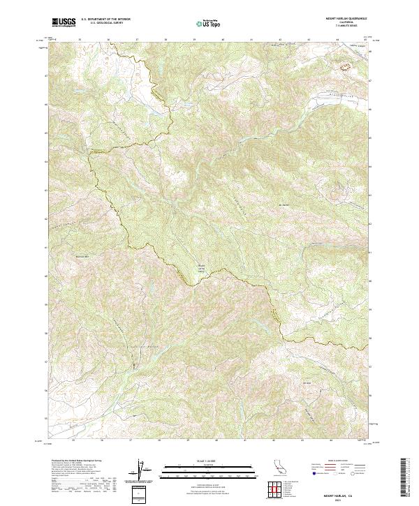 2021 Mount Harlan2021 Print · USGSThe Gabilan Range of the Central Coast is captured here in the early twenty-first century, showing the rugged border between Monterey and San Benito counties. Researchers can trace remote high-country landmarks including Mt Harlan, Horseshoe Spring, and the length of Pescadero Cr.
 - 2021 Map of Rana Creek, 2021 Print
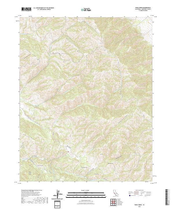 2021 Rana Creek2021 Print · USGSMonterey County’s interior highlands are shown in detail during the early twenty-first century, spanning the rugged gap between major mountain ranges. Researchers can trace historic access routes like the Conejo Grade and locate local landmarks such as School Hill and Haystack Hill.
Showing maps 1-25 of 83
Top cities of Monterey County
- Salinas historical maps
- Monterey historical maps
- Marina historical maps
- Prunedale historical maps
- Pacific Grove historical maps
- Greenfield historical maps
See more
Frequently asked questions
- What are the different types of historical maps available for Monterey County?
- What is the oldest map of Monterey County?
- Where can I purchase historical maps of Monterey County for my home or office?
- Where can I download high-res historical maps of Monterey County?
- Are there historical topographic maps available for Monterey County?
- Is there historical aerial imagery available for Monterey County?
- Where are historical maps of Monterey County sourced from?