2000s (21st Century) Maps of Monterey County, California
Explore 329 historic maps of Monterey County from the 2000s (21st Century). These maps offer a rare glimpse into what life looked like during the 2000s — showing old roads, neighborhoods, homes, and landmarks that have changed or disappeared over time.
Whether you're researching your family's past, planning a metal detecting trip, or studying how Monterey County's landscape evolved across the 2000s, these high-resolution maps are a powerful tool for exploring the history of this region.
- Focus on a specific era: All maps on this page are from the 2000s, giving you a focused view of this time period.
- See what’s changed: Compare century-old streets, trails, and buildings to today's modern landscape using overlays and satellite layers.
- Research with precision: Use these maps for genealogy, historical research, land use analysis, or educational projects.
- View, download, or print: Maps are fully viewable online in high resolution, and can be downloaded or printed for your own records.
Start exploring Monterey County's history through authentic maps from the 2000s. This is your window into the past.
Monterey County, CA maps
(329)- 2012 Map of Slack Canyon, 2012 Print
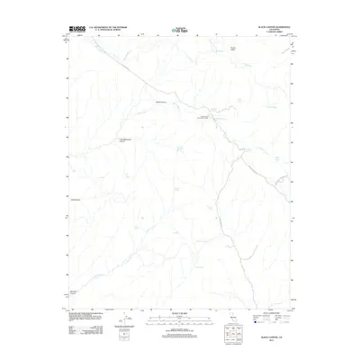 2012 Slack Canyon2012 Print · USGSFresno County in the early 2010s is characterized here by its interior canyons and vital water sources. Researchers can trace land markers and seasonal waterways through Slack Canyon, finding landmarks like the Slack Canyon Conservation Camp and McMillan Spring.
 - 2012 Map of Hepsedam Peak, 2012 Print
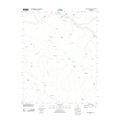 2012 Hepsedam Peak2012 Print · USGSCoastal range ranchlands and high peaks characterize this corner of Monterey County in the early twenty-first century. Researchers can locate remote dwellings like Calhoon Cabin and trace the drainage of Laguna Cr past Airstrip Pond and Laguna Ranch.
 - 2012 Map of Lonoak, 2012 Print
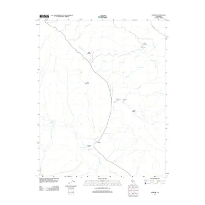 2012 Lonoak2012 Print · USGSCoastal range ranching and remote valley life define this region in the early twenty-first century. Genealogists and local historians can trace family-named sites like De Alvarez Ranch and Tully Hall or locate the unique Lake Tanganyika.
 - 2012 Map of Nattrass Valley, 2012 Print
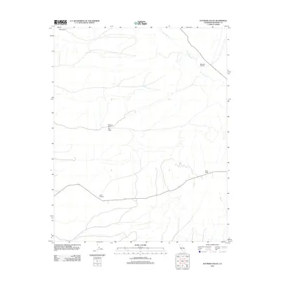 2012 Nattrass Valley2012 Print · USGSMonterey County's interior valleys and canyons are documented here during the early 2010s. Local history researchers can trace the natural landscape through family-named landmarks like Nattrass Valley, Tom Valley, and the drainage of San Lorenzo Cr.
 - 2012 Map of San Benito Mountain, 2012 Print
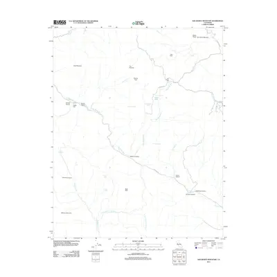 2012 San Benito Mountain2012 Print · USGSThe Diablo Range rises sharply in this 2012 survey, showing a landscape defined by mountain peaks and remote river canyons. Researchers can trace the drainage of the San Benito River and locate historic sites like the San Benito Mill and Lewis Flat.
 - 2012 Map of Priest Valley, 2012 Print
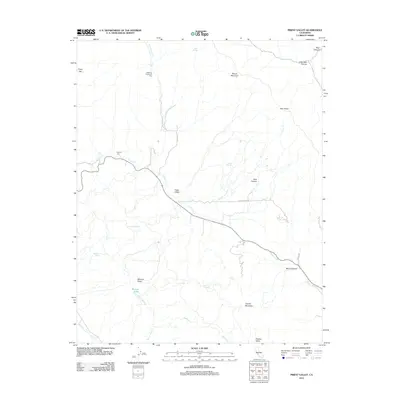 2012 Priest Valley2012 Print · USGSThe ranchlands of southern Monterey County are shown here in the early twenty-first century, centered on the Priest Valley settlement. Genealogists can locate family sites like the Williams-Duckworth Cem or trace the geography of Monroe Valley and Charley Valley.
 - 2012 Map of San Ardo, 2012 Print
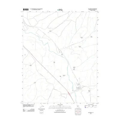 2012 San Ardo2012 Print · USGSMonterey County ranchlands and energy resources are on display here in the early twenty-first century. Researchers can trace family-named landmarks like Garrissere Canyon and Jim Lawson Gulch or locate the sprawling San Ardo Field.
 - 2012 Map of Smith Mountain, 2012 Print
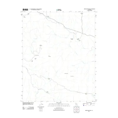 2012 Smith Mountain2012 Print · USGSThis high-desert portion of Fresno County is shown just over a decade ago, characterized by its deep canyons and cattle-country valleys. Researchers can trace historic water sources and landmarks like Warthan Cem, The Pinnacles, and Sulphur Spring.
 - 2012 Map of Monarch Peak, 2012 Print
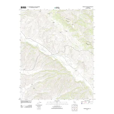 2012 Monarch Peak2012 Print · USGSThe southern Diablo Range is captured here in the early twenty-first century, showcasing a rugged interior landscape of peaks and canyons. Researchers can trace the path of San Lorenzo Cr past landmarks like Monarch Peak and Banchero Rock.
 - 2012 Map of Pancho Rico Valley, 2012 Print
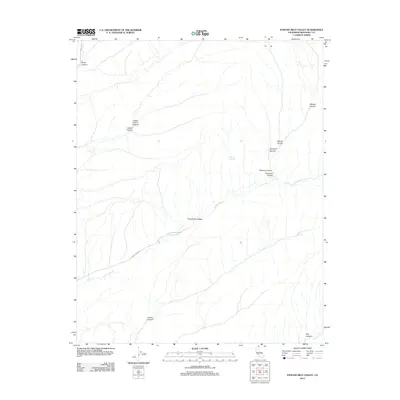 2012 Pancho Rico Valley2012 Print · USGSMonterey County's interior hills are mapped here during the early twenty-first century, showing the remote ranching landscape of the California Coast Ranges. Researchers can trace land features like Pancho Rico Valley and family-named landmarks such as Chavoya Canyon and Brinan Spring.
 - 2012 Map of Curry Mountain, 2012 Print
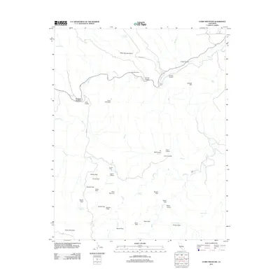 2012 Curry Mountain2012 Print · USGSIn the arid hills of Fresno County during the early twenty-first century, ranching and geology define the landscape. Researchers can trace remote family outposts like Sanderson Ranch and Alcalde Ranch or locate landmarks such as Wildcat Rock.
 - 2012 Map of Stockdale Mountain, 2012 Print
 2012 Stockdale Mountain2012 Print · USGSMonterey County ranch lands and canyons are documented here in the early twenty-first century. Researchers can trace local history through landmarks like Imusdale Cem and the distinctive geography of The Narrows and Stockdale Mountain.
 - 2012 Map of Valleton, 2012 Print
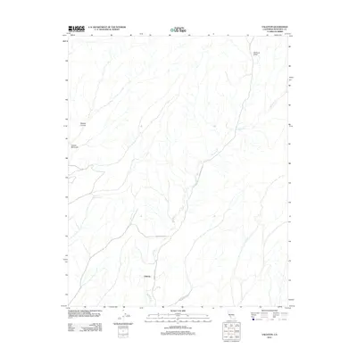 2012 Valleton2012 Print · USGSValleton and the surrounding canyons of Monterey County are captured here in the early twenty-first century. Researchers can trace the path of Big Sandy Cr through Medford Valley or locate local landmarks like Walters Canyon and Cañada Montuosa.
 - 2012 Map of Hames Valley, 2012 Print
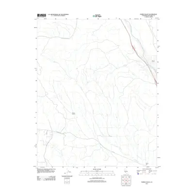 2012 Hames Valley2012 Print · USGSMonterey County ranchlands and oil fields are documented here in the early 2000s as the Salinas River valley meets the Coast Ranges. Researchers can trace rural landmarks and vital water sources like Hames Valley Hall, the San Ardo Oil Field, and Los Lobos Spring.
 - 2012 Map of Wunpost, 2012 Print
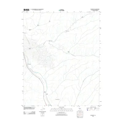 2012 Wunpost2012 Print · USGSThe Salinas River valley and the hills of southern Monterey County are captured here in the early twenty-first century. Researchers can trace the rural infrastructure around Wunpost, the rail siding at Getty Siding, and the geography of Swain Valley.
 - 2012 Map of Parkfield, 2012 Print
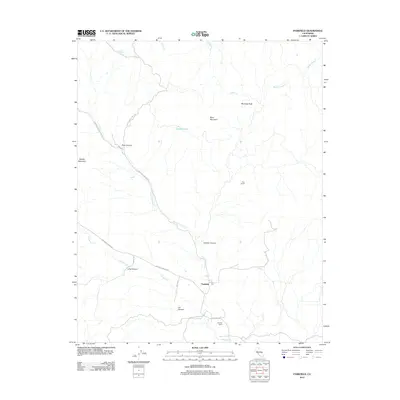 2012 Parkfield2012 Print · USGSParkfield and the surrounding Cholame Valley are captured here just after the turn of the millennium. Local historians can trace family ranchlands and remote landmarks like Durham Ranch, Hog Ranch, and the peaks around Pine Canyon.
 - 2012 Map of Paicines, 2012 Print
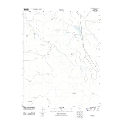 2012 Paicines2012 Print · USGSPaicines and the surrounding San Benito River valley are documented here in 2012, highlighting a landscape of ranching and viticulture. Researchers can trace land use at Paicines Ranch, Enz Vineyards, and along the historic Old Airline Hwy.
 - 2012 Map of Chualar, 2012 Print
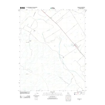 2012 Chualar2012 Print · USGSThe Salinas Valley floor meets the Santa Lucia foothills in this 2012 survey of Monterey County. Genealogists and historians can trace the agricultural footprint surrounding Chualar and Spence, or follow the high-elevation terrain near Mount Toro.
 - 2012 Map of Paraiso Springs, 2012 Print
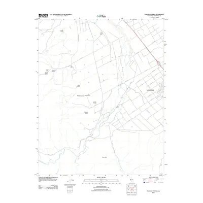 2012 Paraiso Springs2012 Print · USGSThe city of Greenfield and the Santa Lucia foothills are captured here in the early twenty-first century as vineyards and ranches met the expanding valley grid. Genealogists and hikers can trace local landmarks like Paraiso Springs, the Olson Ranch, and Pettits Peak.
 - 2012 Map of Bickmore Canyon, 2012 Print
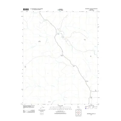 2012 Bickmore Canyon2012 Print · USGSSan Benito County ranching and the eastern edge of the Pinnacles are captured here in the early 21st century. Genealogists and local historians can trace family landholdings like Melendy Ranch or locate the Willow Creek Cem and Pinnacles Ranch Airport.
 - 2012 Map of Lopez Point OE W, 2012 Print
 2012 Lopez Point OE W2012 Print · USGSThe Monterey County coast at Slates Hot Springs is shown here in the early twenty-first century, where the mountains meet the sea. Researchers can trace the narrow paths of Hot Springs Canyon and Dolan Canyon as they reach the Pacific Ocean.
 - 2012 Map of Soledad, 2012 Print
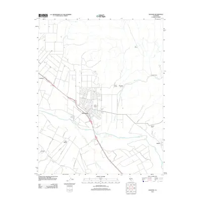 2012 Soledad2012 Print · USGSSoledad and the Salinas River Valley are shown at the height of their modern agricultural and viticultural era. Researchers can trace land use from the Paul Masson Vineyards to older settlements and landmarks like Fort Romie and the Soledad Cemetery.
 - 2012 Map of Rana Creek, 2012 Print
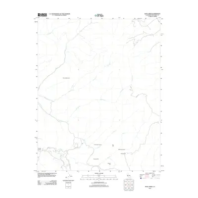 2012 Rana Creek2012 Print · USGSMonterey County's rural backcountry is documented here in the early twenty-first century, showing a network of ranch roads and rugged creek drainages. Researchers can trace land features like School Hill and family-named routes such as Parrott Ranch Rd.
 - 2012 Map of Espinosa Canyon, 2012 Print
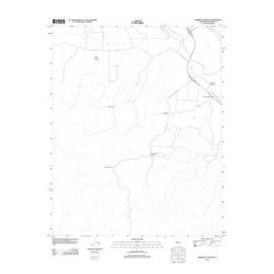 2012 Espinosa Canyon2012 Print · USGSMonterey County ranch lands and river valleys are captured here during the early twenty-first century. Genealogists and local historians can trace family-named landmarks such as Rancho San Lucas, McConnell Canyon, and Broadhurst Canyon.
 - 2012 Map of Greenfield, 2012 Print
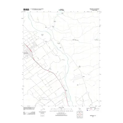 2012 Greenfield2012 Print · USGSThe Salinas Valley comes into sharp focus in this early 21st-century survey of the California central coast. Researchers can trace the development of Greenfield along the highway and locate rural landmarks like Greenfield Cem, Metz Airport, and the Coburn Ranch.
Showing maps 1-25 of 329
Top cities of Monterey County
- Salinas historical maps
- Monterey historical maps
- Marina historical maps
- Prunedale historical maps
- Pacific Grove historical maps
- Greenfield historical maps
See more
Frequently asked questions
- What are the different types of historical maps available for Monterey County?
- What is the oldest map of Monterey County?
- Where can I purchase historical maps of Monterey County for my home or office?
- Where can I download high-res historical maps of Monterey County?
- Are there historical topographic maps available for Monterey County?
- Is there historical aerial imagery available for Monterey County?
- Where are historical maps of Monterey County sourced from?