1950s Maps of San Bernardino County, California
Explore 186 historic maps of San Bernardino County from the 1950s. These maps offer a rare glimpse into what life looked like during the 1950s — showing old roads, neighborhoods, homes, and landmarks that have changed or disappeared over time.
Whether you're researching your family's past, planning a metal detecting trip, or studying how San Bernardino County's landscape evolved across the 1950s, these high-resolution maps are a powerful tool for exploring the history of this region.
- Focus on a specific era: All maps on this page are from the 1950s, giving you a focused view of this time period.
- See what’s changed: Compare century-old streets, trails, and buildings to today's modern landscape using overlays and satellite layers.
- Research with precision: Use these maps for genealogy, historical research, land use analysis, or educational projects.
- View, download, or print: Maps are fully viewable online in high resolution, and can be downloaded or printed for your own records.
Start exploring San Bernardino County's history through authentic maps from the 1950s. This is your window into the past.
San Bernardino County, CA maps
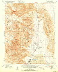
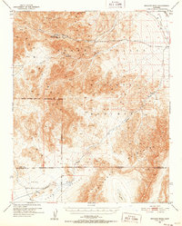
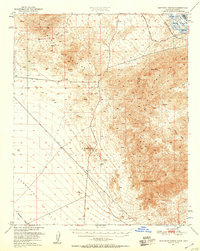
(186)- 1950 Map of Parker Dam Area
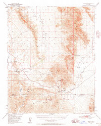
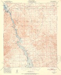
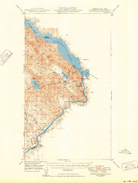 1950 Parker Dam Area1950 Print · USGSThe California-Arizona borderlands come into focus at the mid-century mark, centered on the engineering of the Parker Dam. Trace the river economy through the Colorado River Indian Reservation and remote landmarks like Bandit Pass and Cienega Springs.2 unique versions available
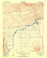
 - 1950 Map of Prado Dam
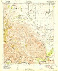 1950 Prado Dam1950 Print · USGSThe Prado Dam area at the start of the 1950s shows a unique mix of institutional expansion, aviation history, and flood control. Local researchers can trace the Cal-Aero Flight Academy, the California Institution for Men, and the Rancho Santa Ana Botanic Gardens.
 - 1950 Map of Searles Lake
 1950 Searles Lake1950 Print · USGSMid-century San Bernardino County reveals an intensive desert industrial landscape along the western shore of Searles Lake. Researchers can trace the rail-linked settlements of South Trona, Westend, and Argus, or locate mineral prospects tucked into the Spangler Hills.
 - 1950 Map of Yorba Linda
 1950 Yorba Linda1950 Print · USGSMid-century Orange County is caught in a moment of transition between its petroleum roots and growing citrus communities. Genealogists and local historians can trace the early grids of Yorba Linda and Placentia or locate sites like La Vida Mineral Springs and the Olinda Oil Field.
 - 1950 Map of Trona
 1950 Trona1950 Print · USGSThe Mojave Desert mining economy of 1950 is on full display here, centered on the industrial hub of Trona. Genealogists and historians can trace the Trona Railway to remote workings like the Gold Bottom Mine and Ophir Mine.
 - 1950 Map of Parker
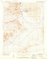
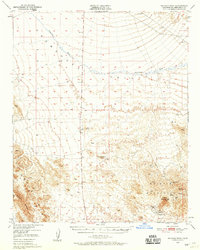
 1950 Parker1950 Print · USGSThe Lower Colorado River valley in the mid-century shows a landscape defined by massive water projects and tribal lands. Researchers can trace the Colorado River Indian Reservation boundary, the Headgate Rock Dam, and desert mining at the Blue Cloud Mine.2 unique versions available
 - 1950 Map of Vidal
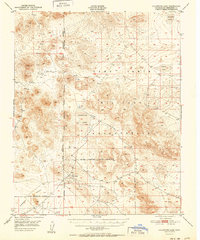
 1950 Vidal1950 Print · USGSIn the California desert during the early fifties, the rail and water networks converged at the crossing of the San Bernardino Base Line. Trace the sites of desert mining operations like the Jacklin Mine or visit the remote Vidal Junction and the railroad stop at Grommet.2 unique versions available
 - 1950 Map of Manly Peak
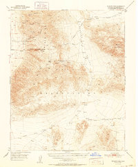
 1950 Manly Peak1950 Print · USGSThe Panamint Range and Death Valley borderlands are captured here in the mid-twentieth century during a period of transition for local mining. Researchers can trace old mountain routes and industrial remains at Myers Ranch, the Lotus Mine, and Mengel Pass.2 unique versions available
 - 1950 Map of Black Star Canyon
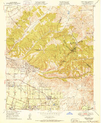
 1950 Black Star Canyon1950 Print · USGSThe Orange and Riverside County line was defined by steep canyons and mining prospects at mid-century. Researchers can trace early industrial footprints at the Black Star Coal Mine (Inactive) or locate the Hidden Ranch near the Main Divide Motorway.
 - 1950 Map of Wingate Wash, 1952 Print
 1950 Wingate Wash1952 Print · USGSDeath Valley and the Panamint Range are captured in the early 1950s when mining and remote ranching still dotted these arid canyons. Trace historical activity at Indian Ranch or the Queen of Sheba Mine, and follow the path of Wingate Wash through the desert floor.4 unique versions available
 - 1950 Map of Confidence Hills, 1952 Print
 1950 Confidence Hills1952 Print · USGSThe southern reaches of Death Valley are captured here in the early fifties, showing a remote landscape of mining ruins and desert passes. Researchers can trace historic industrial sites like Ashford Mill (Ruins) and the Desert Hound Mine or locate vital water sources such as Bradbury Well.3 unique versions available
 - 1950 Map of Davis Dam, 1955 Print
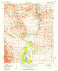 1950 Davis Dam1955 Print · USGSThe Colorado River corridor was undergoing a massive transformation in the early fifties as the newly completed Davis Dam began reshaping the tri-state border. Researchers can trace vanished river landings and frontier outposts such as the Hardyville Site, Mohave City, and the Fort Mohave Ruins.2 unique versions available
 - 1950 Map of Topock, 1957 Print
 1950 Topock1957 Print · USGSThe Colorado River borderlands in the early postwar era show a desert landscape being reshaped by infrastructure and conservation. Genealogists and historians can trace the rail corridor through Franconia and locate remote mining sites like the Gold Dome Mine or the Jackpot Mine.3 unique versions available
 - 1950 Map of Sawtooth Range, 1957 Print
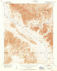
 1950 Sawtooth Range1957 Print · USGSThe Mojave Desert frontier at the midpoint of the century shows a landscape defined by the Colorado River and the rugged Sawtooth Range. Trace early transportation routes like the Old Trails Road and discover the location of scattered desert mines and isolated springs.3 unique versions available
 - 1950 Map of Wingate Pass, 1957 Print
 1950 Wingate Pass1957 Print · USGSSan Bernardino County's high desert reveals its mining legacy and remote water sources in the decade after World War II. Researchers can trace historic prospecting sites like the New York Mine and Johnson Mine or locate desert landmarks such as Early Spring.3 unique versions available
 - 1950 Map of Needles, 1957 Print
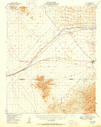
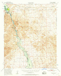
 1950 Needles1957 Print · USGSThe Colorado River valley at the California-Arizona border comes to life in the mid-1950s as a vital transit and tribal corridor. Researchers can trace the path of U.S. 66, find the Soto Ranch, and locate industrial sites like the Mingus Mine.2 unique versions available
 - 1950 Map of Whipple Mts, 1958 Print
 1950 Whipple Mts1958 Print · USGSThe Colorado River and Whipple Mountains define this mid-century desert borderland between California and Arizona. Researchers can trace remote mining history and early lakefront settlements through landmarks like Needles Boat Landing, Roulette Mine, and Chambers Well.3 unique versions available
 - 1950 Map of Tecopa, 1958 Print
 1950 Tecopa1958 Print · USGSThe desert landscape of southeastern California is captured here at mid-century, just as the local mining economy and transportation networks were shifting. Researchers can locate remote industrial sites like the Noonday Mine or trace the historic path of the Old Spanish Trail through the hills.3 unique versions available
 - 1950 Map of Savahia Peak, 1959 Print
 1950 Savahia Peak1959 Print · USGSThe Mojave Desert landscape of San Bernardino County is captured here at mid-century, defined by the drainage of Chemehuevi Wash and high peaks. Researchers can locate numerous mining operations in the Whipple Mountains, including the Gold Hill Mine and Bessie Mine.2 unique versions available
 - 1951 Map of Goldstone Lake
 1951 Goldstone Lake1951 Print · USGSThe Mojave Desert at mid-century reveals a landscape of high-altitude basins and strict federal boundaries. Genealogists and desert historians can trace the isolated settlement of Goldstone and ephemeral water sources like McLean Lake or Nelson Lake near the Camp Irwin Road.
 - 1951 Map of Wingate Pass
 1951 Wingate Pass1951 Print · USGSIn the California desert at midcentury, the search for silver and gold gave way to large-scale military land use. Trace old mining operations like the New York Mine and Ghost Mine, or find remote water sources including Amity Spr and Early Spring.
 - 1951 Map of Topock
 1951 Topock1951 Print · USGSThe Colorado River valley and Mohave Mountains are captured here in the early fifties, showing a landscape defined by desert mining and river life. Trace the path of the National Old Trails Road and locate remote sites like Jackpot Mine or Jops Landing.2 unique versions available
 - 1951 Map of Tiefort Mountains
 1951 Tiefort Mountains1951 Print · USGSThe Mojave Desert interior in the early fifties was a landscape of military expansion and stark topography. Researchers can trace the early layout of Camp Irwin, identify remote water sources like Drinkwater Spring, and map the extent of Bicycle Lake.
 - 1951 Map of Avawatz Pass
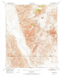
 1951 Avawatz Pass1951 Print · USGSThe high desert of San Bernardino County is captured here in the early 1950s, showing the intersection of federal lands and mining claims. Trace the location of historic desert springs and mines like Saratoga Spr, the Superior Mine, and Old Mormon Spr.
 - 1951 Map of Cave Mountain
 1951 Cave Mountain1951 Print · USGSThe Mojave high desert is captured here in the early fifties, showing the vital rail corridor where the Union Pacific meets the Mojave River. Trace early desert settlements like Dunn and Afton alongside the sprawling Camp Irwin Military Reservation.2 unique versions available
Showing maps 1-25 of 186
Top cities of San Bernardino County
- Fontana historical maps
- Ontario historical maps
- Rancho Cucamonga historical maps
- Victorville historical maps
- Rialto historical maps
- Hesperia historical maps
See more
Frequently asked questions
- What are the different types of historical maps available for San Bernardino County?
- What is the oldest map of San Bernardino County?
- Where can I purchase historical maps of San Bernardino County for my home or office?
- Where can I download high-res historical maps of San Bernardino County?
- Are there historical topographic maps available for San Bernardino County?
- Is there historical aerial imagery available for San Bernardino County?
- Where are historical maps of San Bernardino County sourced from?