2020s Maps of San Bernardino County, California
Explore 390 historic maps of San Bernardino County from the 2020s. These maps offer a rare glimpse into what life looked like during the 2020s — showing old roads, neighborhoods, homes, and landmarks that have changed or disappeared over time.
Whether you're researching your family's past, planning a metal detecting trip, or studying how San Bernardino County's landscape evolved across the 2020s, these high-resolution maps are a powerful tool for exploring the history of this region.
- Focus on a specific era: All maps on this page are from the 2020s, giving you a focused view of this time period.
- See what’s changed: Compare century-old streets, trails, and buildings to today's modern landscape using overlays and satellite layers.
- Research with precision: Use these maps for genealogy, historical research, land use analysis, or educational projects.
- View, download, or print: Maps are fully viewable online in high resolution, and can be downloaded or printed for your own records.
Start exploring San Bernardino County's history through authentic maps from the 2020s. This is your window into the past.
San Bernardino County, CA maps
(390)- 2021 Map of Parker, 2021 Print
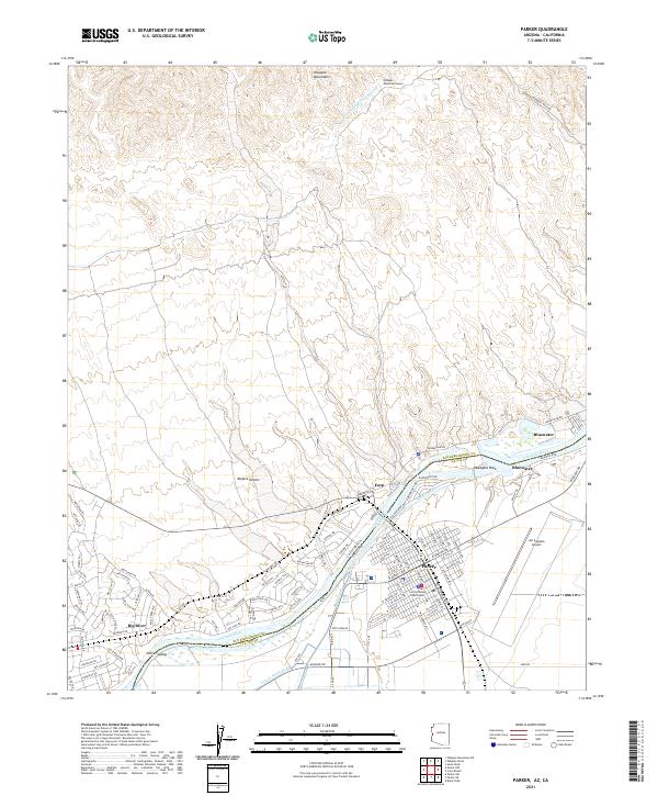 2021 Parker2021 Print · USGSThe Colorado River borderlands in the early 2020s reveal a landscape defined by desert water management and the growth of the Parker community. Trace the intricate desert canals near Big River or locate the La Paz County Courthouse and Avi Suquilla Airport.
 - 2021 Map of Lake Havasu City South, 2021 Print
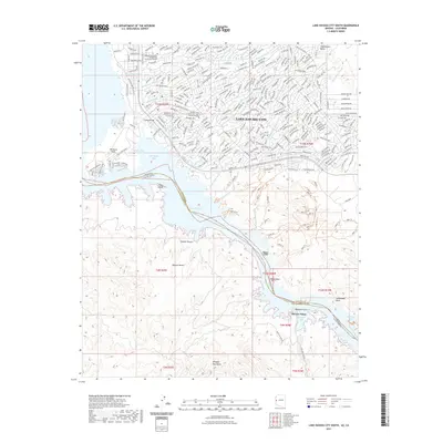 2021 Lake Havasu City South2021 Print · USGSCovers San Bernardino County, including Lake Havasu City, Copper Canyone, and other nearby areas
 - 2021 Map of Standard Wash, 2021 Print
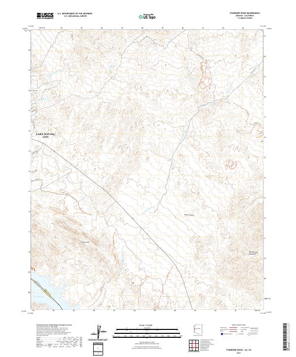 2021 Standard Wash2021 Print · USGSThe desert landscape south of Lake Havasu City comes into focus in this contemporary survey, showing the expansion of Arizona's desert communities. Trace the deep desert drainages of Standard Wash and Mockingbird Wash, or locate isolated water sources like Gold Spring and Screwbean Spring.
 - 2021 Map of Castle Rock, 2021 Print
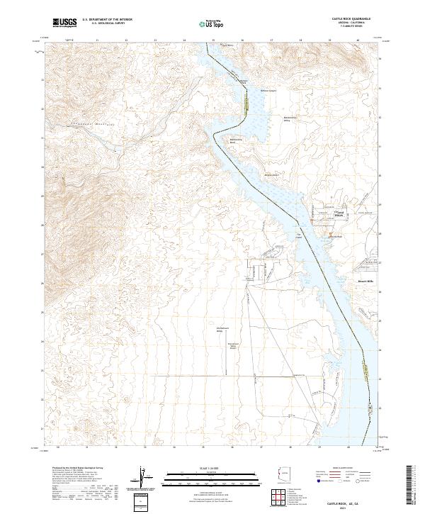 2021 Castle Rock2021 Print · USGSThe Colorado River corridor near the Arizona-California border comes into focus in this contemporary survey of the Lake Havasu region. Trace the shoreline communities of Crystal Beach and Desert Hills, or locate landmarks like the Chemehuevi Valley Airport and Mohave Canyon.
 - 2021 Map of Topock, 2021 Print
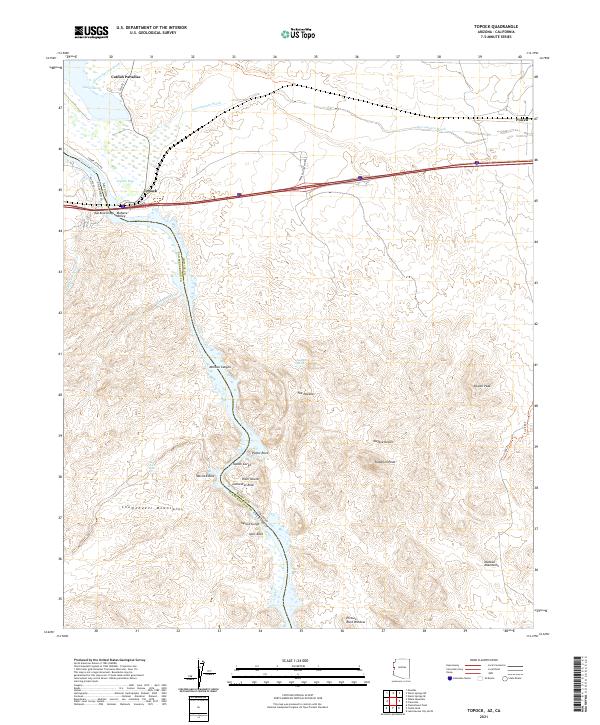 2021 Topock2021 Print · USGSThe Arizona-California border at the Colorado River is mapped here during the early twenty-first century. Researchers can trace the legacy of travel and terrain from Hist Rte 66 and Red Rock Bridge to landmarks like The Needles and Catfish Paradise.
 - 2021 Map of Parker SE, 2021 Print
 2021 Parker SE2021 Print · USGSThe Colorado River Indian Tribes reservation comes to life in this recent study of the Parker Valley and the Colorado River border. Researchers can trace the sophisticated irrigation network of the Main Canal or locate local landmarks like the Big House Cem.
 - 2021 Map of Tenmile Well, 2021 Print
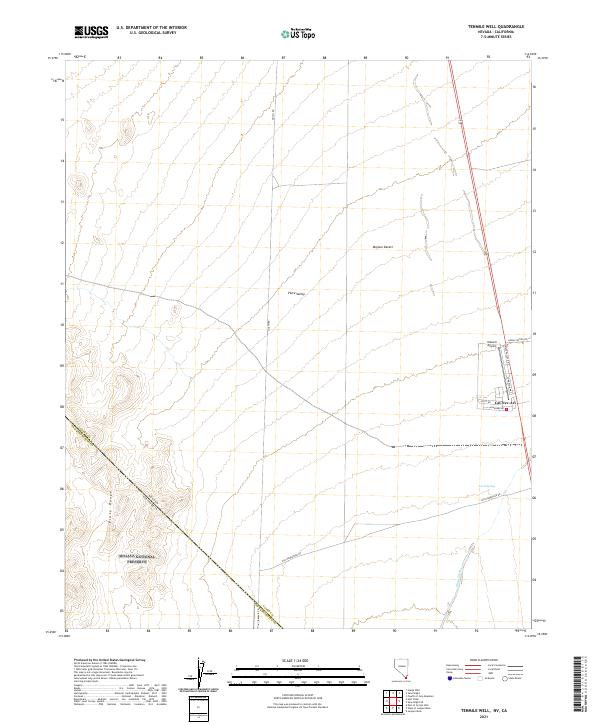 2021 Tenmile Well2021 Print · USGSCal-Nev-Ari and the surrounding Mojave Desert landscape are captured here in the early twenty-first century as the region maintains its remote character. Researchers can trace the layout of Kidwell Airport and find local landmarks like Lewis Spring and Old Homestead Rd.
 - 2021 Map of Juniper Mine, 2021 Print
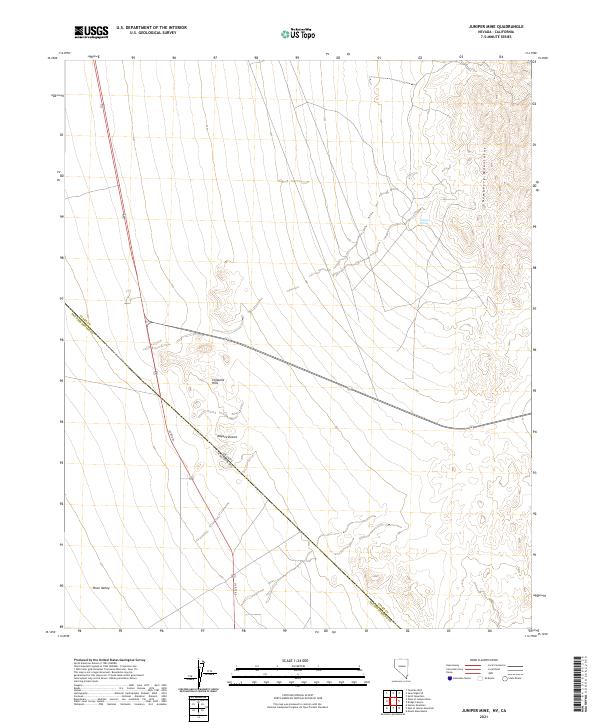 2021 Juniper Mine2021 Print · USGSThe high desert of Clark County at the Nevada-California border comes into focus in this recent study of the Newberry Mountains. Researchers can trace the intersection of US RTE 95 near the Chiquita Hills and locate the remote Juniper Spring.
 - 2021 Map of Hopps Well, 2021 Print
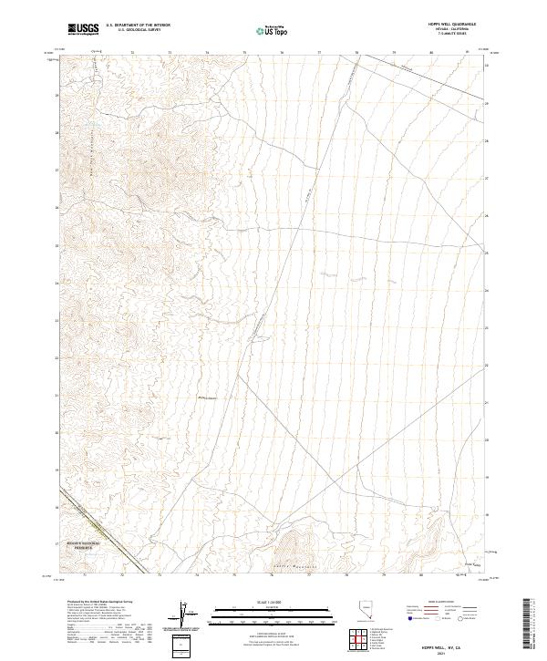 2021 Hopps Well2021 Print · USGSThe Nevada and California borderlands come into focus in this contemporary survey of the high desert. Trace the ranching history of the Mojave Desert through isolated landmarks like Walking Box Ranch Rd and the water at Burro Springs.
 - 2021 Map of Crescent Peak, 2021 Print
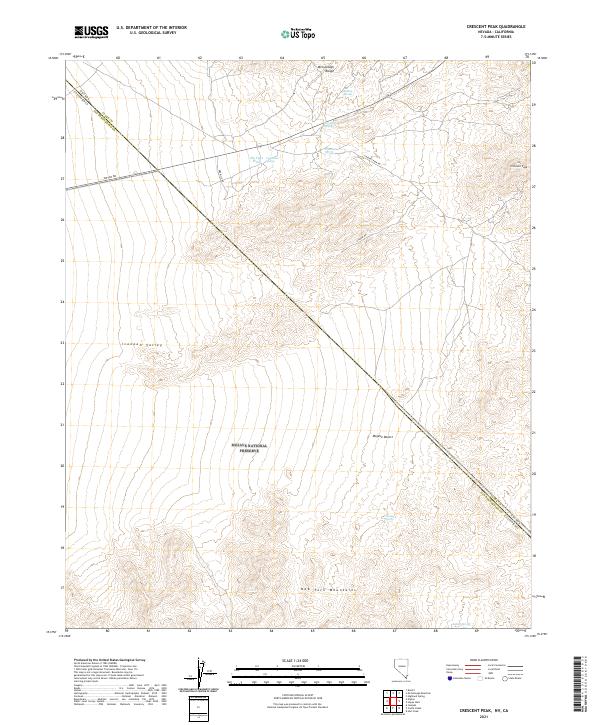 2021 Crescent Peak2021 Print · USGSThe high Mojave desert at the Nevada-California line comes into focus in this detailed modern survey. Researchers can trace historic water sources like Surveyors Spring and Indian Spring or navigate the rugged terrain surrounding Crescent Peak.
 - 2021 Map of Shenandoah Peak, 2021 Print
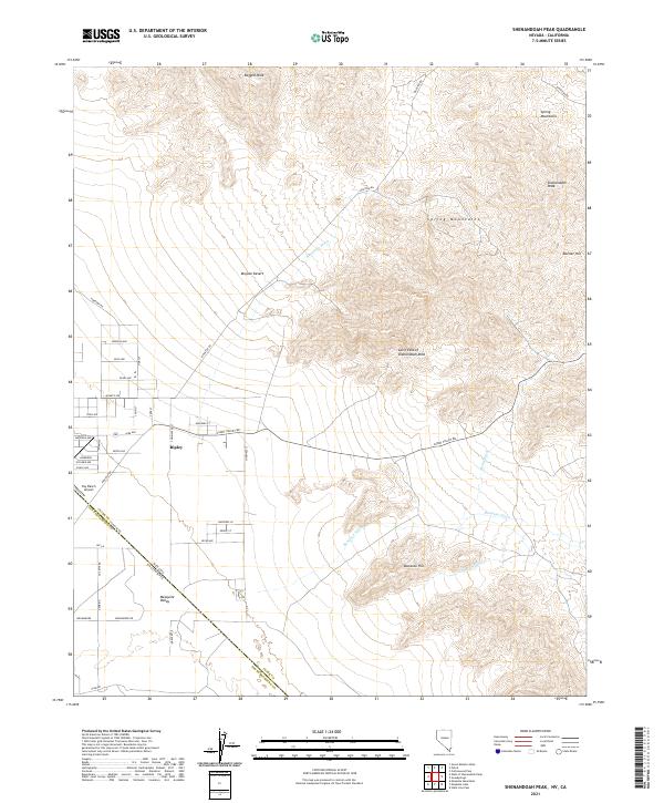 2021 Shenandoah Peak2021 Print · USGSThe Nevada-California border comes alive in this survey of the high desert at the edge of the Spring Mountains. Researchers can trace local development in Ripley and identify historical landmarks like the Cairn East of Shenandoah Mine and Sky Ranch Airport.
 - 2021 Map of Mount Manchester, 2021 Print
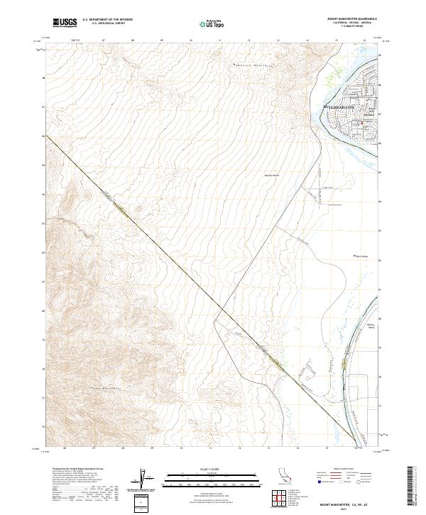 2021 Mount Manchester2021 Print · USGSThe Colorado River tri-state border region comes into focus during the early twenty-first century as residential growth spreads along the water near Bullhead City. Researchers can trace the modern development of Riviera and Big Bend alongside desert landmarks like the Camel Trail Oasis.
 - 2021 Map of Homer Mountain, 2021 Print
 2021 Homer Mountain2021 Print · USGSThe Mojave National Preserve and the rugged Piute Range are captured here in the early twenty-first century. History seekers can trace the historic Old Government Rd or locate the vital Piute Spring near Homer Mtn.
 - 2021 Map of West of Juniper Mine, 2021 Print
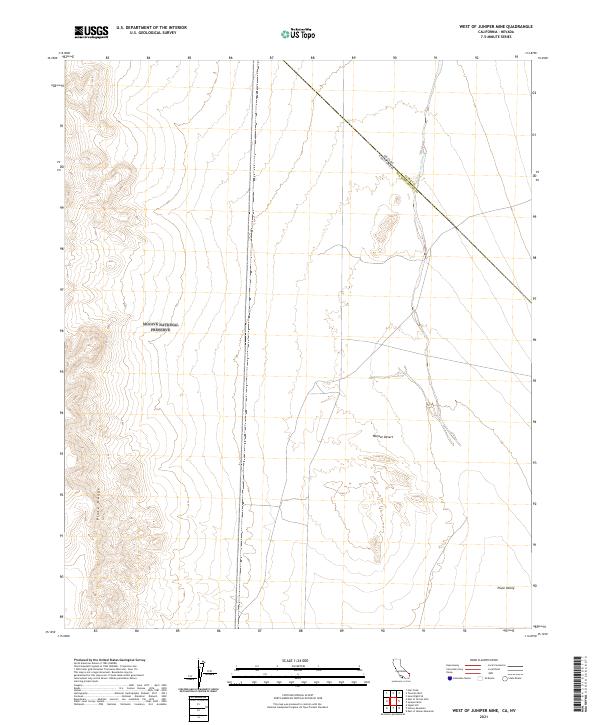 2021 West of Juniper Mine2021 Print · USGSCrossing the desert border between California and Nevada, this recent survey captures the remote terrain where the Piute Range meets the valley floor. Genealogists and researchers can trace the diagonal state line as it passes near Piute Wash and into the Piute Valley.
 - 2021 Map of East of Homer Mountain, 2021 Print
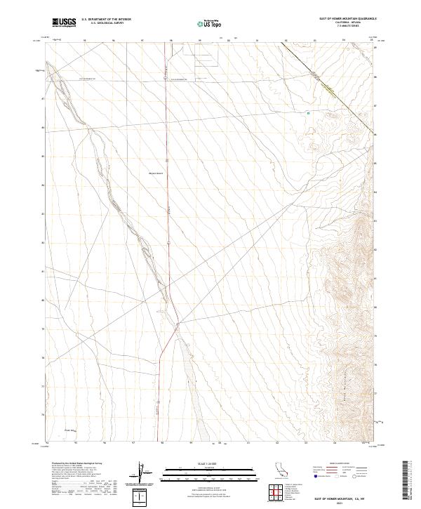 2021 East of Homer Mountain2021 Print · USGSThe high desert borderlands between California and Nevada are captured here in the early 2020s. Researchers can trace the path of the historic Old Government Rd across the Mojave Desert and the rugged slopes of the Dead Mountains.
 - 2021 Map of New Dale, 2021 Print
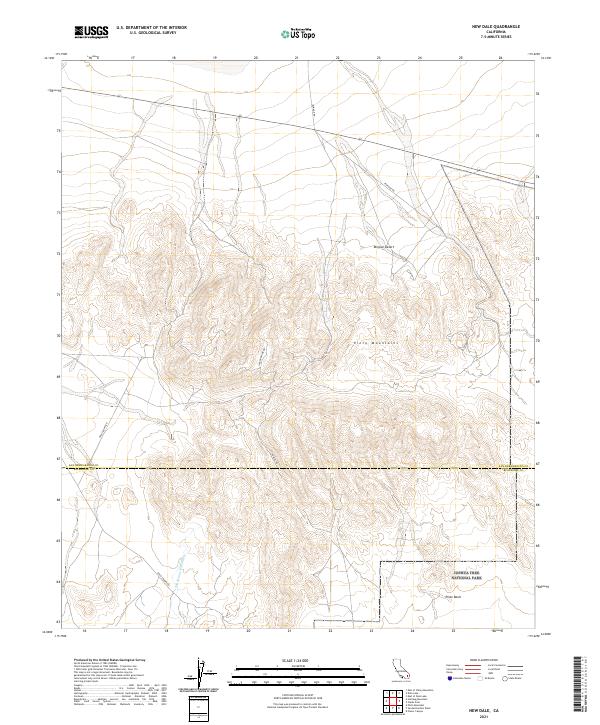 2021 New Dale2021 Print · USGSThe high desert at the San Bernardino and Riverside county line is captured in this recent survey. Researchers can trace historical mining access routes like Ivanhoe Mine Rd and Ok Mine Rd as they wind through the Pinto Mountains.
 - 2021 Map of Valley Mountain, 2021 Print
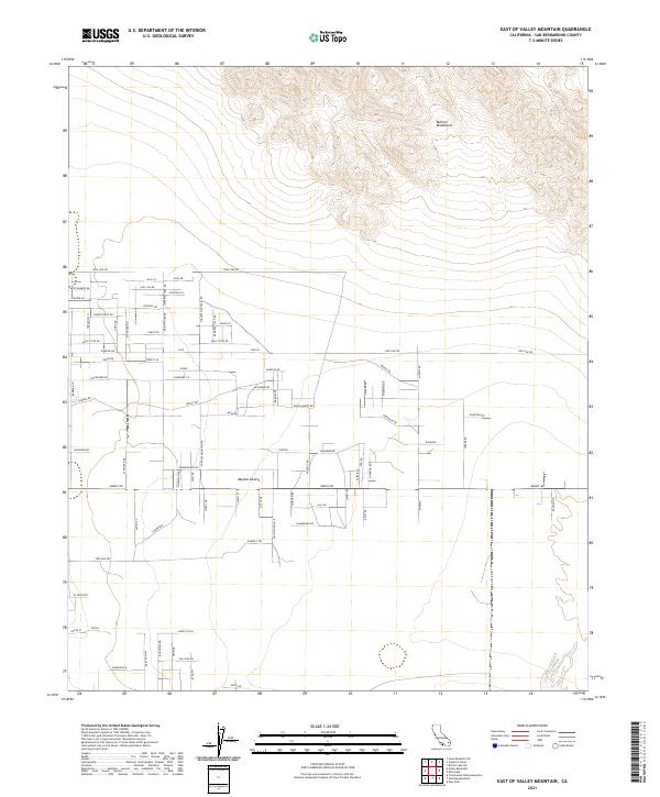
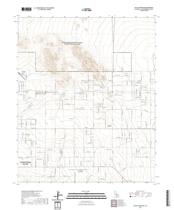 2021 Valley Mountain2021 Print · USGSThe northern edge of Twentynine Palms is documented here in the early 2020s, showing the intersection of local desert life and regional aviation. Researchers can trace the grid of the town's residential expansion alongside landmarks like Valley Mtn and the Twentynine Palms Airport.
 - 2021 Map of Cadiz Lake NE, 2021 Print
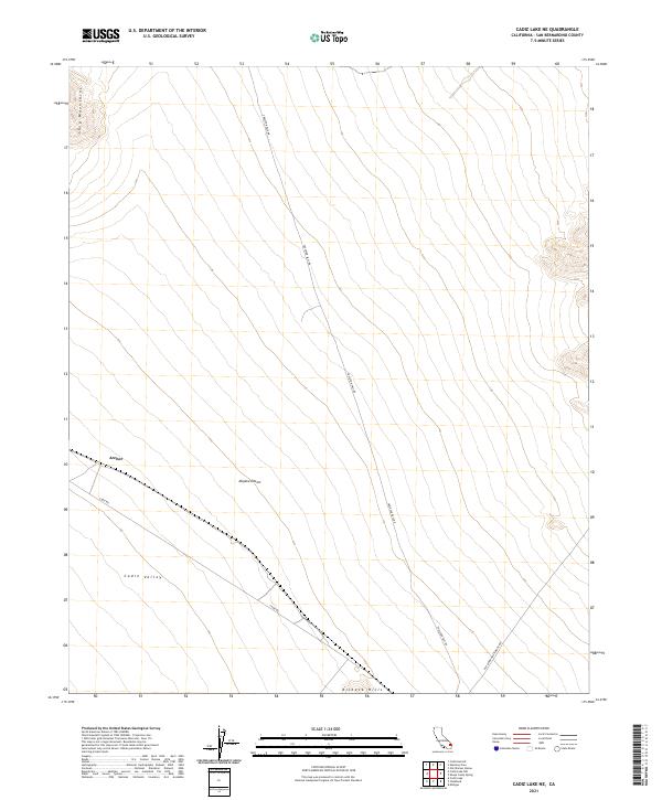 2021 Cadiz Lake NE2021 Print · USGSThis high-desert survey captures San Bernardino County in the 2020s, showing a landscape defined by the Ship Mountains and the Cadiz Valley. Trace remote desert routes like Skeleton Pass Rd and locate the small settlement of Archer.
 - 2021 Map of Bighorn Canyon, 2021 Print
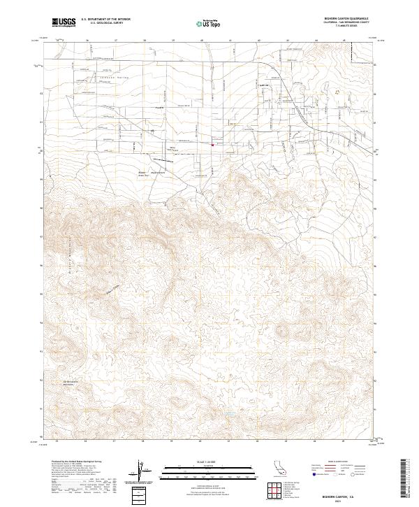 2021 Bighorn Canyon2021 Print · USGSJohnson Valley and the northern Mojave desert are captured in this modern survey as residential development reaches toward the high peaks. Local researchers can trace the extent of rural housing and transportation at Valley Vista Airport, Saddlerock Spring, and Bighorn Canyon.
 - 2021 Map of East of Valley Mountain, 2021 Print
 2021 East of Valley Mountain2021 Print · USGSThis high-desert region of San Bernardino County shows a mix of topographic relief and modern rural development during the early twenty-first century. Researchers can trace land tracts and local infrastructure along Pipe Line Rd and near named areas like Raymond and the Bullion Mountains.
 - 2021 Map of Rattlesnake Canyon, 2021 Print
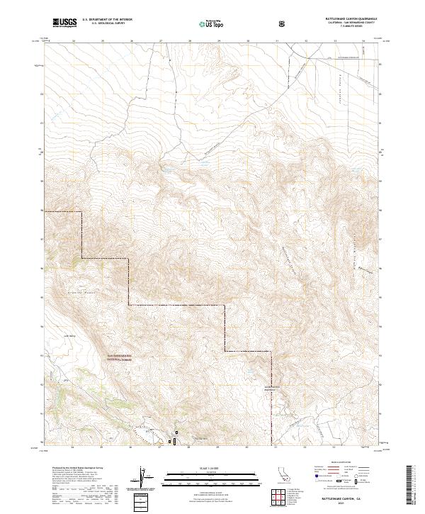 2021 Rattlesnake Canyon2021 Print · USGSThe San Bernardino high desert comes into focus in the early 2020s, where mountain ranges meet arid basins. Trace historic water sources and backcountry routes near Rattlesnake Canyon, Tip Top Mtn, and San Bernardino National Forest.
 - 2021 Map of Humbug Mountain, 2021 Print
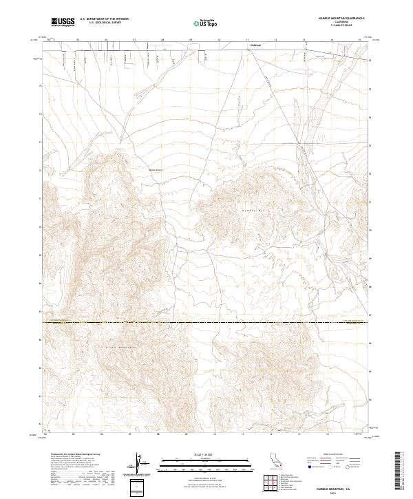 2021 Humbug Mountain2021 Print · USGSThe high Mojave Desert south of San Bernardino County is captured here in the early twenty-first century. Researchers can trace historical routes through the Pinto Mountains and identify desert access points like Old Dale, Gold Crown Rd, and Goods Mine Rd.
 - 2021 Map of Martins Well, 2021 Print
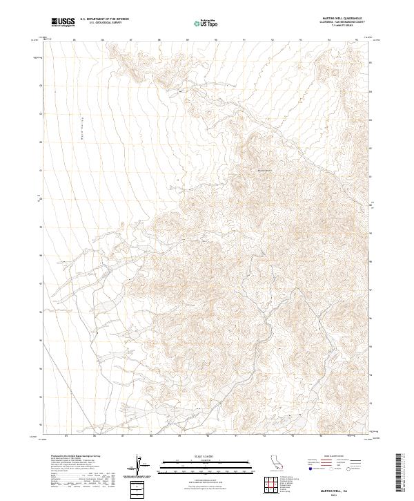 2021 Martins Well2021 Print · USGSSan Bernardino County's high desert reaches are documented here during the early twenty-first century. Researchers can trace the topographical details of Ward Valley and the vast Mojave Desert landscape across several township boundaries.
 - 2021 Map of Goffs, 2021 Print
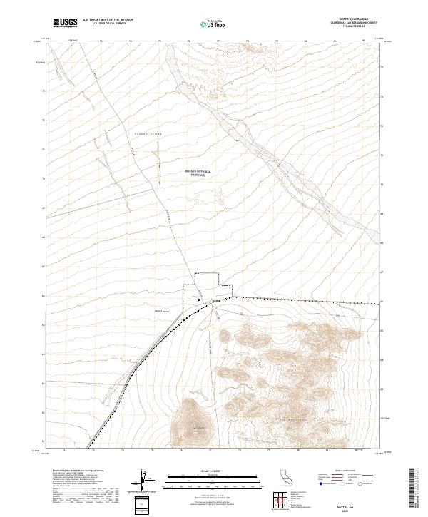 2021 Goffs2021 Print · USGSThe high desert settlement of Goffs and the eastern reaches of the Fenner Valley are captured here in the early twenty-first century. Researchers can locate the Goffs Cem and trace the paths of Lanfair Rd and Nomac Rd as they cross the Mojave Desert.
 - 2021 Map of Essex, 2021 Print
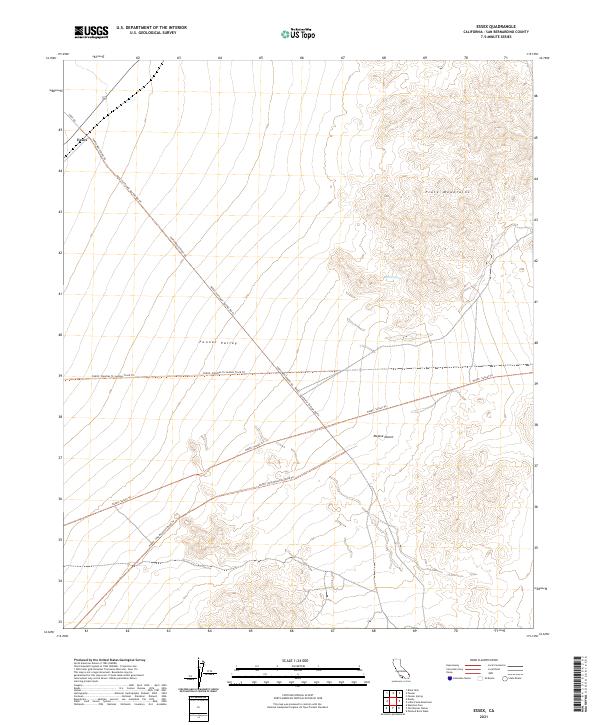 2021 Essex2021 Print · USGSThe arid corridor of the Mojave Desert is captured here in the early twenty-first century, centered on the small settlement of Essex. Researchers can trace old desert routes like the Needles To Ludlow Truck Trl or locate the vital Barrel Spring in the Piute Mountains.
Showing maps 1-25 of 390
Top cities of San Bernardino County
- Fontana historical maps
- Ontario historical maps
- Rancho Cucamonga historical maps
- Victorville historical maps
- Rialto historical maps
- Hesperia historical maps
See more
Frequently asked questions
- What are the different types of historical maps available for San Bernardino County?
- What is the oldest map of San Bernardino County?
- Where can I purchase historical maps of San Bernardino County for my home or office?
- Where can I download high-res historical maps of San Bernardino County?
- Are there historical topographic maps available for San Bernardino County?
- Is there historical aerial imagery available for San Bernardino County?
- Where are historical maps of San Bernardino County sourced from?