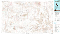
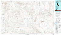
1990s Maps of San Bernardino County, California
Explore 65 historic maps of San Bernardino County from the 1990s. These maps offer a rare glimpse into what life looked like during the 1990s — showing old roads, neighborhoods, homes, and landmarks that have changed or disappeared over time.
Whether you're researching your family's past, planning a metal detecting trip, or studying how San Bernardino County's landscape evolved across the 1990s, these high-resolution maps are a powerful tool for exploring the history of this region.
- Focus on a specific era: All maps on this page are from the 1990s, giving you a focused view of this time period.
- See what’s changed: Compare century-old streets, trails, and buildings to today's modern landscape using overlays and satellite layers.
- Research with precision: Use these maps for genealogy, historical research, land use analysis, or educational projects.
- View, download, or print: Maps are fully viewable online in high resolution, and can be downloaded or printed for your own records.
Start exploring San Bernardino County's history through authentic maps from the 1990s. This is your window into the past.
San Bernardino County, CA maps
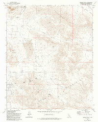
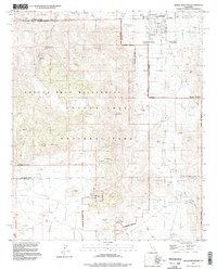
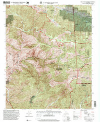
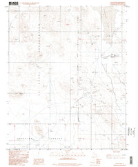
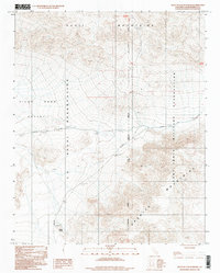
(65)- 1993 Map of Iron Ridge
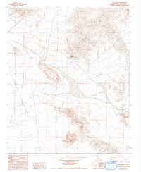 1993 Iron Ridge1993 Print · USGSHigh desert mining and military training define this San Bernardino landscape in the early nineties. Researchers can trace the layout of the Bessemer Mine and locate the remote Landing Strip in Upper Johnson Valley.
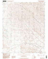
 - 1993 Map of Silver Bell Mine
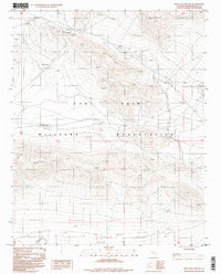
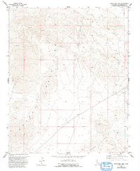 1993 Silver Bell Mine1993 Print · USGSThe high desert of San Bernardino County is documented here in the 1990s as a landscape of mining and military activity. Researchers can locate the Silver Bell Mine, multiple unnamed prospects, and the boundary of the Marine Corps Training Center.
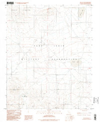
 - 1993 Map of Camp Rock Mine
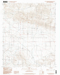
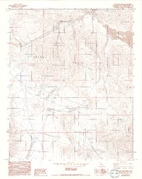 1993 Camp Rock Mine1993 Print · USGSThe High Desert of San Bernardino County in the early nineties reveals a landscape of industrial persistence and rugged isolation. Geologists and local historians can trace the footprints of resource extraction through the Camp Rock Mine, scattered Open Pit Mines, and remote landmarks like the Pumping Station.
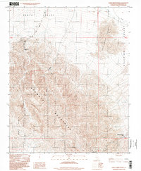
 - 1993 Map of Ridgecrest
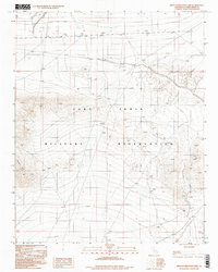
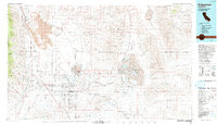 1993 Ridgecrest1993 Print · USGSThe northern Mojave Desert comes into focus in the 1990s as a complex landscape of military research and industrial salt harvesting. Researchers can trace the extensive Trona Railway and Southern Pacific lines through desert outposts like Inyokern and Little Lake.2 unique versions available
 - 1993 Map of Fairview Valley
 1993 Fairview Valley1993 Print · USGSHigh desert industry and rugged mountain terrain define this San Bernardino County landscape in the 1990s. Researchers can trace the footprint of mining operations at Black Mountain and locate remote water sources like Quail Spring and Amaral Spring.
 - 1993 Map of Soda Mountains
 1993 Soda Mountains1993 Print · USGSSan Bernardino County's high desert reveals its military and mining foundations in the 1990s. Trace the expanses of Fort Irwin or locate historic operations like the Goldstone Mine and Silver Lake Mine along the Union Pacific Railroad.
 - 1993 Map of Owlshead Mountains
 1993 Owlshead Mountains1993 Print · USGSThe high desert of San Bernardino and Inyo counties is revealed in this early nineties survey as a land of overlapping mining claims and military tracts. You can trace the remnants of a hard-rock economy at the Ibex Mine and Sperry (Site) or locate the Dumont Sand Dunes.
 - 1994 Map of Lake Havasu City South, 1997 Print
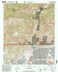
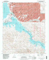 1994 Lake Havasu City South1997 Print · USGSLake Havasu City enters a period of modern expansion in the mid-nineties, centering on the relocated London Bridge and the developing waterfront. Genealogists and researchers can trace the city's growth alongside older desert landmarks like the Roulette Mine and the Lake Havasu City Airport (Abandoned).
 - 1995 Map of Queen Mountain, 1998 Print
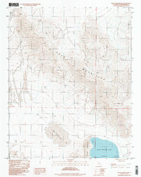
 1995 Queen Mountain1998 Print · USGSThe Mojave Desert highlands come to life in the mid-nineties, showing the intersection of mining history and park conservation. Trace old claims at the Desert Queen Mine or Anaconda Mine and locate vanished habitations at Pine City (Site).2 unique versions available
 - 1995 Map of Indian Cove, 1998 Print
 1995 Indian Cove1998 Print · USGSThe High Desert landscape near Twentynine Palms is shown in the mid-nineties, capturing the intersection of early mining history and modern conservation. Researchers can locate historic sites like the Wall Street Mill, the Lang Mine, and ancient Petroglyphs.2 unique versions available
 - 1995 Map of Mount Baldy, 1999 Print
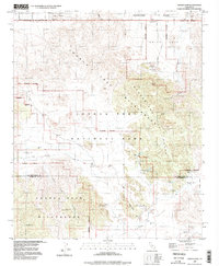
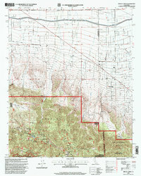
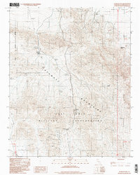
 1995 Mount Baldy1999 Print · USGSThe eastern edge of Los Angeles County meets the San Bernardino line in the mid-nineties, showing the interface of foothill suburbs and forest. Trace local landmarks like the Padua Hills Theater and Webb Sch, or explore the complex watershed around San Antonio Dam.
 - 1995 Map of Mescal Creek, 1999 Print
 1995 Mescal Creek1999 Print · USGSPinon Hills and the high-desert transition of the San Gabriel foothills are captured here in the mid-1990s. Genealogists and historians can trace legacy holdings at Hagenbaugh Ranch, early mountain recreation at Camp Jubilee, and the namesake waters of Mescal Creek.
 - 1995 Map of Mount San Antonio, 1999 Print
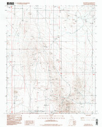
 1995 Mount San Antonio1999 Print · USGSThe San Gabriel Mountains come into focus in the mid-1990s as a hub for both high-altitude recreation and legacy mining. Researchers can trace historic claims like the Big Horn Mine or locate early ski developments near Wrightwood and Baldy Notch.
 - 1996 Map of Red Pass Lake
 1996 Red Pass Lake1996 Print · USGSThe high desert of San Bernardino County in the 1990s reveals a landscape of mineral exploration and defense. Trace the boundaries of the Fort Irwin Military Reservation or locate remote sites like the Landing Strip and Red Pass Lake.2 unique versions available
 - 1996 Map of Red Pass Lake NW, 1998 Print
 1996 Red Pass Lake NW1998 Print · USGSThe high desert of San Bernardino County is shown in the mid-1990s, capturing the restricted landscape of a major military training area. Researchers can identify isolated landmarks and exploration sites like Grave Summit, No Name Lake, and several mining Prospects.
 - 1996 Map of West of Drinkwater Lake, 1998 Print
 1996 West of Drinkwater Lake1998 Print · USGSThe Mojave Desert interior comes into focus during the mid-nineties within the boundaries of the Fort Irwin Military Reservation. Researchers can trace the transition from the high Granite Mountains down to the desert flats.
 - 1996 Map of West of Red Pass Lake, 1998 Print
 1996 West of Red Pass Lake1998 Print · USGSThe Mojave Desert and the Fort Irwin Military Reservation are captured here in the mid-1990s. Researchers can examine the high-elevation Tiefort Mts and trace the system of Levee works used for desert water management.
 - 1996 Map of Goldstone, 1998 Print
 1996 Goldstone1998 Print · USGSSan Bernardino's high desert reveals its dual identity as a military and research hub in the mid-1990s. Trace the specialized geography of the Fort Irwin Military Reservation, the dry Goldstone Lake, and the remote outpost of Goldstone.
 - 1996 Map of Avawatz Pass, 1998 Print
 1996 Avawatz Pass1998 Print · USGSThe high desert of San Bernardino County is shown here in the late twentieth century, dominated by the Avawatz Mountains. Researchers can locate numerous old mining sites marked as Prospects and critical water sources like Denning Spring and Cave Spring.
 - 1996 Map of Williams Well, 1998 Print
 1996 Williams Well1998 Print · USGSSuperior Valley during the 1990s reveals a desert landscape shaped by mining exploration and remote outposts. Researchers can trace the layout of Williams Well, locate numerous Prospects, and identify the Landing Strip used to access this isolated terrain.
 - 1996 Map of West Cronise Lake, 1998 Print
 1996 West Cronise Lake1998 Print · USGSThe Mojave Desert landscape of the mid-eighties and nineties is captured here, centered on the ancient dry beds of West Cronise Lake and East Cronise Lake. Geologists and desert explorers can trace the rugged topography of the Soda Mountains and follow the isolated 4WD trails through the Cronise Valley.
 - 1996 Map of West of Leach Spring, 1998 Print
 1996 West of Leach Spring1998 Print · USGSHigh-desert military zones and mountains define this area of San Bernardino County during the late twentieth century. Researchers can trace the path of Randsburg Road across Pilot Knob Valley or locate the remote Myrick Spring.
 - 1996 Map of Red Pass Lake NE, 1998 Print
 1996 Red Pass Lake NE1998 Print · USGSThe eastern reaches of the Fort Irwin Military Reservation and the Avawatz Mountains appear here in the late nineties. Mineral hunters can trace several mining features, including an Open Pit Mine, Mine Dumps, and numerous Prospects.
 - 1996 Map of Nelson Lake, 1998 Print
 1996 Nelson Lake1998 Print · USGSThe Mojave Desert at the edge of the Granite Mountains is captured here in the mid-nineties during its use for military training. Researchers can trace remote desert outposts like Pioneer and locate high-elevation Radio Towers near the dry bed of Nelson Lake.
 - 1996 Map of Sheep Creek Spring, 1998 Print
 1996 Sheep Creek Spring1998 Print · USGSThe high-desert terrain of San Bernardino County is documented here in the late twentieth century, showing the intersection of mining and military history. Trace old water sources like Sheep Creek Spring and the Old Mormon Spring (Dry) near the Sheep Cr Mine.
Showing maps 1-25 of 65
Top cities of San Bernardino County
- Fontana historical maps
- Ontario historical maps
- Rancho Cucamonga historical maps
- Victorville historical maps
- Rialto historical maps
- Hesperia historical maps
See more
Frequently asked questions
- What are the different types of historical maps available for San Bernardino County?
- What is the oldest map of San Bernardino County?
- Where can I purchase historical maps of San Bernardino County for my home or office?
- Where can I download high-res historical maps of San Bernardino County?
- Are there historical topographic maps available for San Bernardino County?
- Is there historical aerial imagery available for San Bernardino County?
- Where are historical maps of San Bernardino County sourced from?