2000s (21st Century) Maps of San Bernardino County, California
Explore 1,518 historic maps of San Bernardino County from the 2000s (21st Century). These maps offer a rare glimpse into what life looked like during the 2000s — showing old roads, neighborhoods, homes, and landmarks that have changed or disappeared over time.
Whether you're researching your family's past, planning a metal detecting trip, or studying how San Bernardino County's landscape evolved across the 2000s, these high-resolution maps are a powerful tool for exploring the history of this region.
- Focus on a specific era: All maps on this page are from the 2000s, giving you a focused view of this time period.
- See what’s changed: Compare century-old streets, trails, and buildings to today's modern landscape using overlays and satellite layers.
- Research with precision: Use these maps for genealogy, historical research, land use analysis, or educational projects.
- View, download, or print: Maps are fully viewable online in high resolution, and can be downloaded or printed for your own records.
Start exploring San Bernardino County's history through authentic maps from the 2000s. This is your window into the past.
San Bernardino County, CA maps
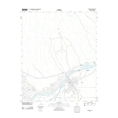
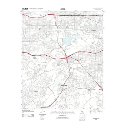
(1,518)- 2011 Map of Castle Rock, 2011 Print
 2011 Castle Rock2011 Print · USGSCovers San Bernardino County, including Lake Havasu City, Mohave County, and other nearby areas
 - 2011 Map of Standard Wash, 2011 Print
 2011 Standard Wash2011 Print · USGSCovers San Bernardino County, including Lake Havasu City, Mohave County, and other nearby areas
 - 2011 Map of Lake Havasu City South, 2011 Print
 2011 Lake Havasu City South2011 Print · USGSCovers San Bernardino County, including Lake Havasu City, Copper Canyone, and other nearby areas
 - 2011 Map of Topock, 2011 Print
 2011 Topock2011 Print · USGSCovers San Bernardino County, including Topock, Catfish Paradise, and other nearby areas
 - 2011 Map of Parker, 2011 Print
 2011 Parker2011 Print · USGSCovers San Bernardino County, including Parker, Parker, and other nearby areas
 - 2011 Map of Parker SE, 2011 Print
 2011 Parker SE2011 Print · USGSCovers San Bernardino County, including Parker, La Paz County, and other nearby areas
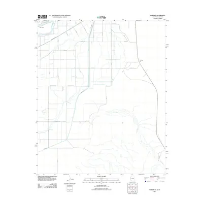
 - 2012 Map of Juniper Mine, 2012 Print
 2012 Juniper Mine2012 Print · USGSCovers San Bernardino County, including Palm Gardens, Clark County, and other nearby areas
 - 2012 Map of Crescent Peak, 2012 Print
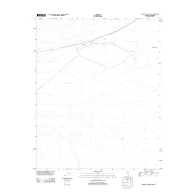 2012 Crescent Peak2012 Print · USGSCovers San Bernardino County, including Crescent, Clark County, and other nearby areas
 - 2012 Map of Hopps Well, 2012 Print
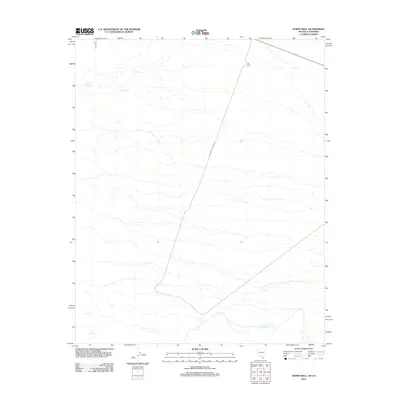 2012 Hopps Well2012 Print · USGSCovers San Bernardino County, including Clark County, United States, and other nearby areas
 - 2012 Map of Tenmile Well, 2012 Print
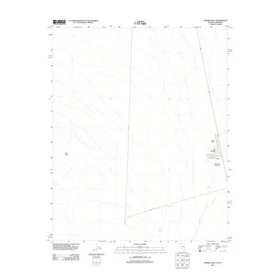 2012 Tenmile Well2012 Print · USGSCovers San Bernardino County, including Cal-Nev-Ari, Clark County, and other nearby areas
 - 2012 Map of Shenandoah Peak, 2012 Print
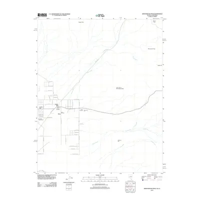 2012 Shenandoah Peak2012 Print · USGSCovers San Bernardino County, including Sandy Valley, Clark County, and other nearby areas
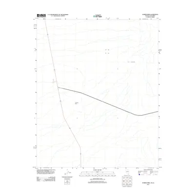
 - 2012 Map of Homer Mountain, 2012 Print
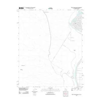
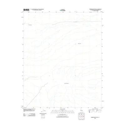 2012 Homer Mountain2012 Print · USGSCovers San Bernardino County, including United States, California, and other nearby areas
 - 2012 Map of Mount Manchester, 2012 Print
 2012 Mount Manchester2012 Print · USGSCovers San Bernardino County, including Bullhead City, Clark County, and other nearby areas
 - 2012 Map of West of Juniper Mine, 2012 Print
 2012 West of Juniper Mine2012 Print · USGSCovers San Bernardino County, including Clark County, United States, and other nearby areas
 - 2012 Map of East of Homer Mountain, 2012 Print
 2012 East of Homer Mountain2012 Print · USGSCovers San Bernardino County, including Clark County, United States, and other nearby areas
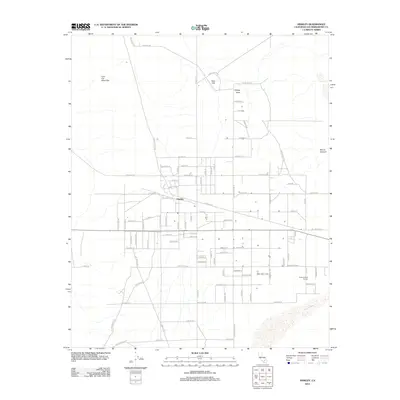
 - 2012 Map of Adelanto, 2012 Print
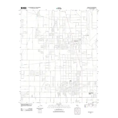 2012 Adelanto2012 Print · USGSCovers San Bernardino County, including Victorville, Adelanto, and other nearby areas
 - 2012 Map of Ontario, 2012 Print
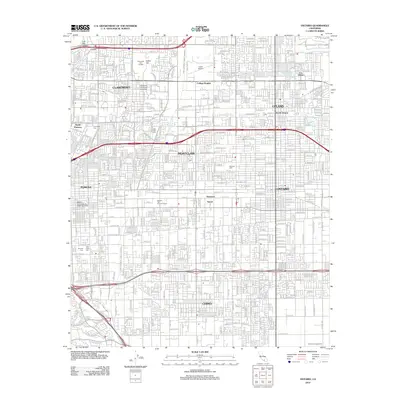 2012 Ontario2012 Print · USGSCovers San Bernardino County, including Ontario, Rancho Cucamonga, and other nearby areas
 - 2012 Map of Twelve Gauge Lake, 2012 Print
 2012 Twelve Gauge Lake2012 Print · USGSCovers San Bernardino County, including United States, California, and other nearby areas
 - 2012 Map of Apple Valley South, 2012 Print
 2012 Apple Valley South2012 Print · USGSCovers San Bernardino County, including Hesperia, Apple Valley, and other nearby areas
 - 2012 Map of Fontana, 2012 Print
 2012 Fontana2012 Print · USGSCovers San Bernardino County, including Riverside, Fontana, and other nearby areas
 - 2012 Map of San Dimas, 2012 Print
 2012 San Dimas2012 Print · USGSCovers San Bernardino County, including Pomona, West Covina, and other nearby areas
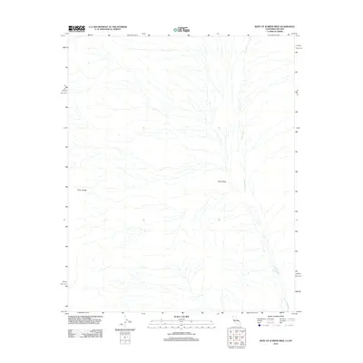
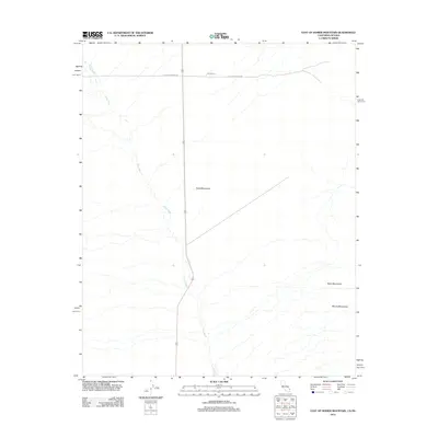
 - 2012 Map of Kramer Junction, 2012 Print
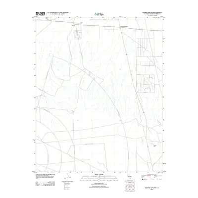 2012 Kramer Junction2012 Print · USGSCovers San Bernardino County, including United States, California, and other nearby areas
 - 2012 Map of Helendale, 2012 Print
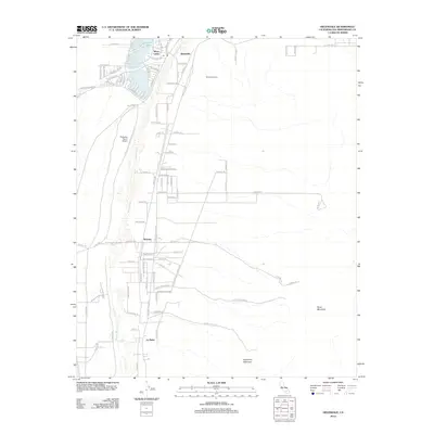 2012 Helendale2012 Print · USGSCovers San Bernardino County, including Victorville, Adelanto, and other nearby areas
 - 2012 Map of Hinkley, 2012 Print
 2012 Hinkley2012 Print · USGSCovers San Bernardino County, including Barstow, Hinkley, and other nearby areas
 - 2012 Map of Turtle Valley, 2012 Print
 2012 Turtle Valley2012 Print · USGSCovers San Bernardino County, including Apple Valley, United States, and other nearby areas
Showing maps 1-25 of 1,518
Top cities of San Bernardino County
- Fontana historical maps
- Ontario historical maps
- Rancho Cucamonga historical maps
- Victorville historical maps
- Rialto historical maps
- Hesperia historical maps
See more
Frequently asked questions
- What are the different types of historical maps available for San Bernardino County?
- What is the oldest map of San Bernardino County?
- Where can I purchase historical maps of San Bernardino County for my home or office?
- Where can I download high-res historical maps of San Bernardino County?
- Are there historical topographic maps available for San Bernardino County?
- Is there historical aerial imagery available for San Bernardino County?
- Where are historical maps of San Bernardino County sourced from?