2010s Maps of Twentynine Palms, California
Explore 21 historic maps of Twentynine Palms from the 2010s. These maps offer a rare glimpse into what life looked like during the 2010s — showing old roads, neighborhoods, homes, and landmarks that have changed or disappeared over time.
Whether you're researching your family's past, planning a metal detecting trip, or studying how Twentynine Palms's landscape evolved across the 2010s, these high-resolution maps are a powerful tool for exploring the history of this region.
- Focus on a specific era: All maps on this page are from the 2010s, giving you a focused view of this time period.
- See what’s changed: Compare century-old streets, trails, and buildings to today's modern landscape using overlays and satellite layers.
- Research with precision: Use these maps for genealogy, historical research, land use analysis, or educational projects.
- View, download, or print: Maps are fully viewable online in high resolution, and can be downloaded or printed for your own records.
Start exploring Twentynine Palms's history through authentic maps from the 2010s. This is your window into the past.
Twentynine Palms, CA maps
(21)- 2012 Map of Sunfair, 2012 Print
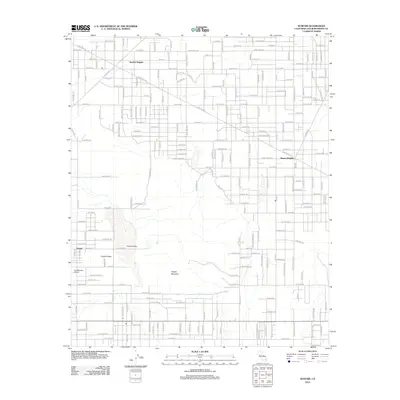 2012 Sunfair2012 Print · USGSThe Mojave Desert communities of San Bernardino County are captured here during a period of steady residential expansion. Local historians can trace the development of Sunfair Heights and Desert Heights or locate landmarks like the Copper Mine and Roy Williams Airport.
 - 2012 Map of Twentynine Palms, 2012 Print
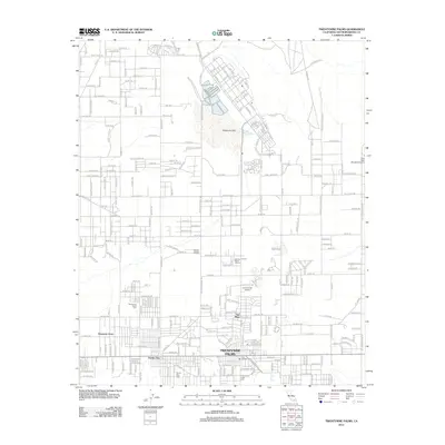 2012 Twentynine Palms2012 Print · USGSTwentynine Palms and the high desert communities of San Bernardino County are shown here at the start of the 2010s. Genealogists and local historians can trace family plots at the Chemehuevi Indian Cem or locate desert landmarks like Smith's Ranch Drive-In and the Oasis of Mara.
 - 2012 Map of Deadman Lake SE, 2012 Print
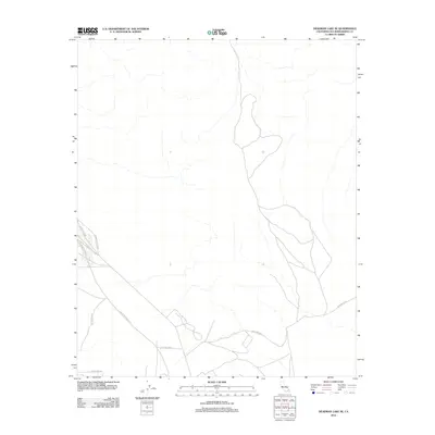 2012 Deadman Lake SE2012 Print · USGSThe military landscape of San Bernardino County is revealed here in the early twenty-first century. Researchers can trace the perimeter and access roads of the 29 Palms MCAG, including Rainbow Canyon Rd and Mesquite Springs Rd.
 - 2012 Map of Indian Cove, 2012 Print
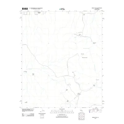 2012 Indian Cove2012 Print · USGSTwentynine Palms and the high desert interior are shown here in the early twenty-first century, highlighting both homestead history and recreation. Researchers can trace the layout of early desert outposts like Keys Ranch and Wall Street Mill or locate family-named sites such as Samuelsons Rock.
 - 2012 Map of Queen Mountain, 2012 Print
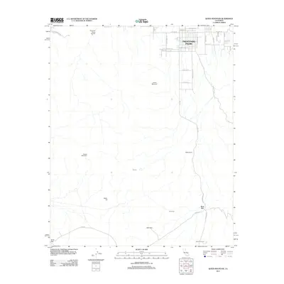 2012 Queen Mountain2012 Print · USGSThe northern Mojave Desert comes into focus here in the early 2010s as the town of Twentynine Palms meets the high peaks. Local historians can trace routes through Fortynine Palms Canyon and identify remote sites like Pine City or Johns Camp.
 - 2012 Map of Twentynine Palms Mountain, 2012 Print
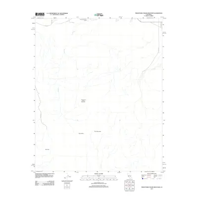 2012 Twentynine Palms Mountain2012 Print · USGSThe High Desert region south of Twentynine Palms appears here during the early twenty-first century, showing the intersection of local aviation and mountain terrain. Researchers can trace desert routes like Gold Park Rd to find the settlement of Gold Park and Music Valley.
 - 2012 Map of Valley Mountain, 2012 Print
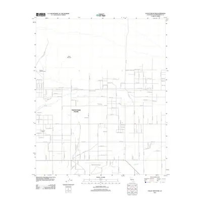 2012 Valley Mountain2012 Print · USGSTwentynine Palms and its desert surrounds are documented here during a period of steady high-desert growth. Aviation history and local navigation are easy to trace via landmarks like Dick Dale Skyranch Airport, Crosswinds Airport, and the path of Dog Wash.
 - 2015 Map of Twentynine Palms Mountain, 2015 Print
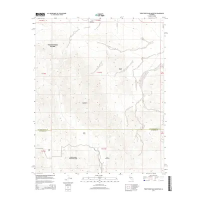 2015 Twentynine Palms Mountain2015 Print · USGSTwentynine Palms and the northern boundary of the national park are shown here in the mid-2010s. Researchers can trace the desert landscape from Gold Park and Music Valley up to the Twentynine Palms Airport.
 - 2015 Map of Twentynine Palms, 2015 Print
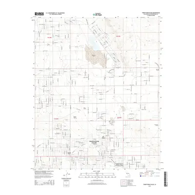 2015 Twentynine Palms2015 Print · USGSTwentynine Palms and the northern reaches of the Mojave Desert are shown here in the mid-2010s as the community borders the national park. Researchers can trace local aviation history and desert travel through Bauer Airport, the Dick Dale Skyranch, and legacy routes like Old Chisholm Trl.
 - 2015 Map of Queen Mountain, 2015 Print
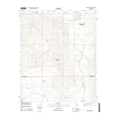 2015 Queen Mountain2015 Print · USGSTwentynine Palms and the northern reaches of the Mojave Desert are shown here in the mid-2010s at the intersection of town and park. Researchers can trace the transition from residential streets to backcountry landmarks like Split Rock, Pinto Wye, and the Fortynine Palms Oasis.
 - 2015 Map of Sunfair, 2015 Print
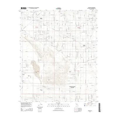 2015 Sunfair2015 Print · USGSThe High Desert community of Twentynine Palms and its northern neighbors are shown here in the mid-2010s. Researchers can trace the layout of Sunfair Heights, locate the Roy Williams Airport, and see the footprint of Copper Mtn Community College.
 - 2015 Map of Valley Mountain, 2015 Print
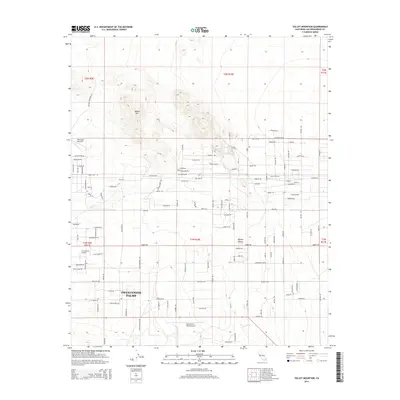 2015 Valley Mountain2015 Print · USGSTwentynine Palms and the northern Mojave Desert are captured here during a period of steady residential and aviation growth. Researchers can trace the development of localized desert roads and private airstrips like Dick Dale Skyranch and the Twentynine Palms Airport.
 - 2015 Map of Deadman Lake SE, 2015 Print
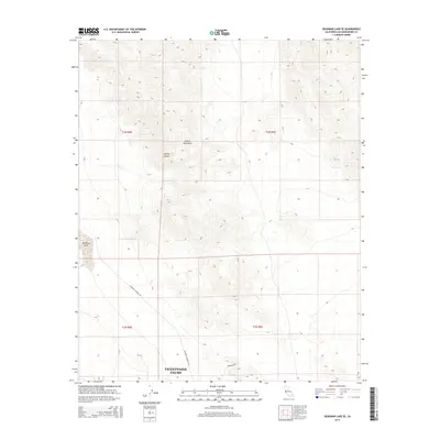 2015 Deadman Lake SE2015 Print · USGSTwentynine Palms and the surrounding high desert are captured here during the mid-2010s, showing a landscape defined by military bounds and arid peaks. Researchers can trace the perimeter of Twentynine Palms and the dry basin of Deadman Lake near Rainbow Canyon Rd.
 - 2015 Map of Indian Cove, 2015 Print
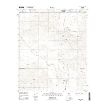 2015 Indian Cove2015 Print · USGSThe Mojave Desert and the rugged interior of the San Bernardino mountains come into focus in this recent study of the northern parklands. Researchers can trace the paths through Lost Horse Valley and find landmarks like Samuelsons Rock and Willow Hole.
 - 2018 Map of Deadman Lake SE, 2018 Print
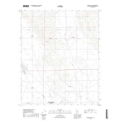 2018 Deadman Lake SE2018 Print · USGSTwentynine Palms and the surrounding high desert are captured in this recent survey of the California interior. Trace the modern road network into the Bullion Mountains along the Bagdad Hwy, Rainbow Canyon Rd, and Botkin Rd.
 - 2018 Map of Queen Mountain, 2018 Print
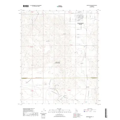 2018 Queen Mountain2018 Print · USGSTwentynine Palms and the northern reaches of Joshua Tree National Park are detailed here during the late twenty-teens. Trace historic trails and high-desert landmarks including the Contact Mine, Fortynine Palms Oasis, and Split Rock.
 - 2018 Map of Sunfair, 2018 Print
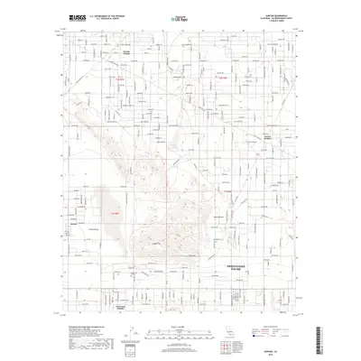 2018 Sunfair2018 Print · USGSThe high desert north of Twentynine Palms is documented here during a period of steady residential growth and institutional development. Researchers can trace the layout of local neighborhoods like Sunfair Heights and locate regional landmarks such as Copper Mtn College.
 - 2018 Map of Twentynine Palms, 2018 Print
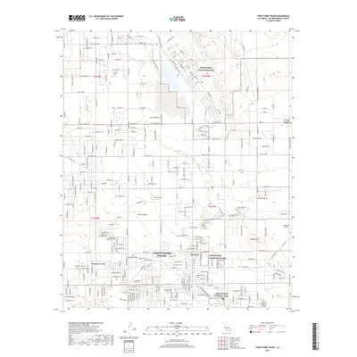 2018 Twentynine Palms2018 Print · USGSTwentynine Palms and the Mojave Desert are shown here in the late 2010s, illustrating the town's growth alongside its major military and park boundaries. Researchers can trace local development through the grids of Harmony Acres, the historic Oasis of Mara, and the sprawling Twentynine Palms Main Base.
 - 2018 Map of Indian Cove, 2018 Print
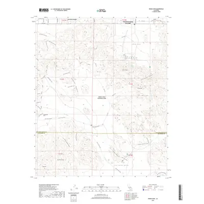 2018 Indian Cove2018 Print · USGSTwentynine Palms and the high Mojave desert are captured here as they appeared in the early twenty-first century. Researchers can trace historic desert access and landmarks like Quail Springs Historic, Samuelsons Rock, and the Old Queen Valley Historic Road.
 - 2018 Map of Twentynine Palms Mountain, 2018 Print
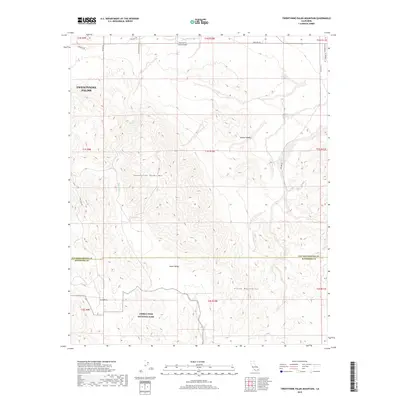 2018 Twentynine Palms Mountain2018 Print · USGSThe high desert landscape near Twentynine Palms is captured here during the late twenty-tens, showing the intersection of park lands and early mining claims. Researchers can trace the rugged topography around Gold Park, Music Valley, and the southern slopes of Twentynine Palms Mtn.
 - 2018 Map of Valley Mountain, 2018 Print
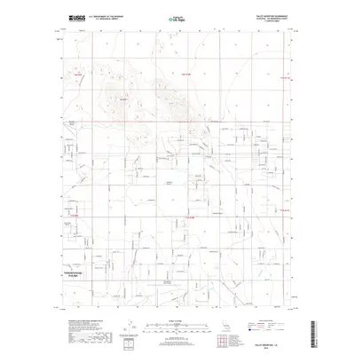 2018 Valley Mountain2018 Print · USGSThe desert edge at Twentynine Palms is captured here during a period of modern expansion into the Mojave Desert. Researchers can locate aviation landmarks like the Dick Dale Skyranch Airport or trace curious local routes like Peter Rabbit Trl.
End of results
Showing maps 1-21 of 21
Top neighborhoods of Twentynine Palms
Frequently asked questions
- What are the different types of historical maps available for Twentynine Palms?
- What is the oldest map of Twentynine Palms?
- Where can I purchase historical maps of Twentynine Palms for my home or office?
- Where can I download high-res historical maps of Twentynine Palms?
- Are there historical topographic maps available for Twentynine Palms?
- Is there historical aerial imagery available for Twentynine Palms?
- Where are historical maps of Twentynine Palms sourced from?