2000s (21st Century) Maps of Rancho Tehama Reserve, California
Explore 17 historic maps of Rancho Tehama Reserve from the 2000s (21st Century). These maps offer a rare glimpse into what life looked like during the 2000s — showing old roads, neighborhoods, homes, and landmarks that have changed or disappeared over time.
Whether you're researching your family's past, planning a metal detecting trip, or studying how Rancho Tehama Reserve's landscape evolved across the 2000s, these high-resolution maps are a powerful tool for exploring the history of this region.
- Focus on a specific era: All maps on this page are from the 2000s, giving you a focused view of this time period.
- See what’s changed: Compare century-old streets, trails, and buildings to today's modern landscape using overlays and satellite layers.
- Research with precision: Use these maps for genealogy, historical research, land use analysis, or educational projects.
- View, download, or print: Maps are fully viewable online in high resolution, and can be downloaded or printed for your own records.
Start exploring Rancho Tehama Reserve's history through authentic maps from the 2000s. This is your window into the past.
Rancho Tehama Reserve, CA maps
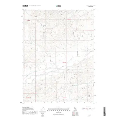
(17)- 2012 Map of Flournoy, 2012 Print
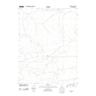 2012 Flournoy2012 Print · USGSCovers Rancho Tehama Reserve, including Flournoy, Tehama County, and other nearby areas
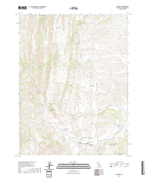
 - 2012 Map of Paskenta, 2012 Print
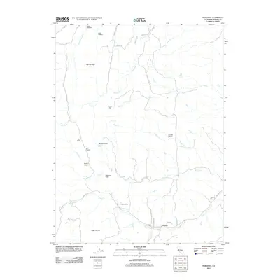 2012 Paskenta2012 Print · USGSCovers Rancho Tehama Reserve, including Paskenta, Tehama County, and other nearby areas
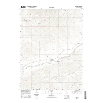
 - 2012 Map of Red Bank, 2012 Print
 2012 Red Bank2012 Print · USGSCovers Rancho Tehama Reserve, including Red Bank, Tehama County, and other nearby areas
 - 2012 Map of Lowrey, 2012 Print
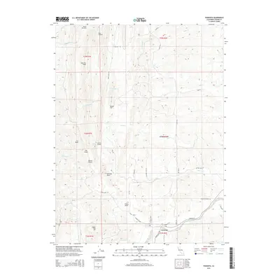
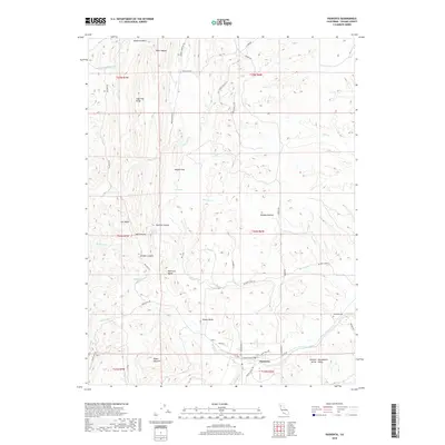
 2012 Lowrey2012 Print · USGSCovers Rancho Tehama Reserve, including Brown Place, Tehama County, and other nearby areas
 - 2015 Map of Flournoy, 2015 Print
 2015 Flournoy2015 Print · USGSCovers Rancho Tehama Reserve, including Flournoy, Tehama County, and other nearby areas
 - 2015 Map of Paskenta, 2015 Print
 2015 Paskenta2015 Print · USGSCovers Rancho Tehama Reserve, including Paskenta, Tehama County, and other nearby areas
 - 2015 Map of Lowrey, 2015 Print
 2015 Lowrey2015 Print · USGSCovers Rancho Tehama Reserve, including Brown Place, Tehama County, and other nearby areas
 - 2015 Map of Red Bank, 2015 Print
 2015 Red Bank2015 Print · USGSCovers Rancho Tehama Reserve, including Red Bank, Tehama County, and other nearby areas
 - 2018 Map of Paskenta, 2018 Print
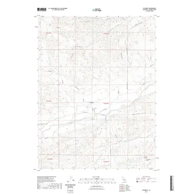
 2018 Paskenta2018 Print · USGSCovers Rancho Tehama Reserve, including Paskenta, Tehama County, and other nearby areas
 - 2018 Map of Flournoy, 2018 Print
 2018 Flournoy2018 Print · USGSCovers Rancho Tehama Reserve, including Flournoy, Tehama County, and other nearby areas
 - 2018 Map of Red Bank, 2018 Print
 2018 Red Bank2018 Print · USGSCovers Rancho Tehama Reserve, including Red Bank, Tehama County, and other nearby areas
 - 2018 Map of Lowrey, 2018 Print
 2018 Lowrey2018 Print · USGSCovers Rancho Tehama Reserve, including Brown Place, Tehama County, and other nearby areas
 - 2021 Map of Paskenta, 2021 Print
 2021 Paskenta2021 Print · USGSThe eastern foothills of the Coast Ranges meet the floor of the Sacramento Valley in this recent survey of western Tehama County. Researchers can locate the Paskenta Cem, trace the remote reaches of Maupin Flat, and follow old routes like Lowery Rd.
 - 2021 Map of Flournoy, 2021 Print
 2021 Flournoy2021 Print · USGSCovers Rancho Tehama Reserve, including Flournoy, Tehama County, and other nearby areas
 - 2022 Map of Red Bank, 2022 Print
 2022 Red Bank2022 Print · USGSRancho Tehama and the surrounding valley floor are shown in detail as they appeared in the early twenty-first century. Researchers can trace property access and local landmarks from Rancho Tehama Airport to Hungry Hollow and Elder Cr.
 - 2022 Map of Lowrey, 2022 Print
 2022 Lowrey2022 Print · USGSModern ranching and creek systems define this area of Tehama County as it appeared recently. Genealogists can locate the Lowrey Cem near the Lowrey settlement, while map enthusiasts can trace the complex drainages of Red Bank Cr and Rattlesnake Valley.
 - 2023 Map of Flournoy, 2023 Print
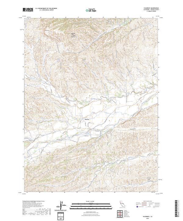 2023 Flournoy2023 Print · USGSThe foothills of western Tehama County meet the valley floor in this modern survey of the Flournoy area. Genealogists and residents can trace property boundaries and rural routes near Flournoy, Rancho Tehama Reserve, and the banks of Thomes Creek.
End of results
Showing maps 1-17 of 17
Top cities near Rancho Tehama Reserve
Frequently asked questions
- What are the different types of historical maps available for Rancho Tehama Reserve?
- What is the oldest map of Rancho Tehama Reserve?
- Where can I purchase historical maps of Rancho Tehama Reserve for my home or office?
- Where can I download high-res historical maps of Rancho Tehama Reserve?
- Are there historical topographic maps available for Rancho Tehama Reserve?
- Is there historical aerial imagery available for Rancho Tehama Reserve?
- Where are historical maps of Rancho Tehama Reserve sourced from?