Old Maps of Rancho Tehama Reserve, California for Genealogy
Trace your family roots with 35 historic maps of Rancho Tehama Reserve. These high-res maps reveal old neighborhoods, homesites, landmarks, and streets — helping you uncover where your ancestors lived and how the area evolved over time.
- Explore historic neighborhoods: Identify where your relatives may have lived in the 1800s or 1900s.
- Compare maps over time: Trace the changes in streets, buildings, and landmarks for multi-generational research.
- Perfect for genealogy & ancestry research: Used by family historians and researchers to map out lineage and migration.
These maps are an incredible resource for exploring your personal connection to Rancho Tehama Reserve's past.
Rancho Tehama Reserve, CA maps
(35)- 1890 Map of Red Bluff
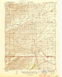
 1890 Red Bluff1890 Print · USGSNorthern California in the late nineteenth century was a hub of river-and-rail activity where the Central Pacific Railroad met the rugged Klamath Mountains. Researchers can trace old ferry crossings like Ball's Ferry, locate the U.S. Fishery, or find early mining camps and stations such as Minersville and Buck Horn Station.
 - 1894 Map of Red Bluff, 1896 Print
 1894 Red Bluff1896 Print · USGSNorthern California's mining and river-trading frontier comes alive in this survey of the late nineteenth century. Genealogists and historians can trace the growth of rail hubs like Redding or locate early river crossings and industrial sites such as Jelley's Ferry and the Copper Mine.6 unique versions available
 - 1944 Map of Flournoy
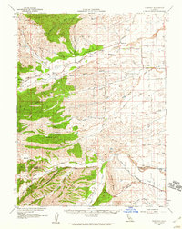
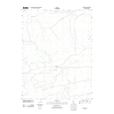
 1944 Flournoy1944 Print · USGSThe foothills of Tehama and Glenn Counties during the early 1940s reveal a landscape shaped by seasonal creeks and early irrigation. Researchers can trace the rural communities of Flournoy and Henleyville alongside historical markers like the Nome Lacke Monument.2 unique versions available
 - 1949 Map of Colyear Springs
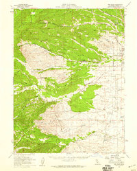
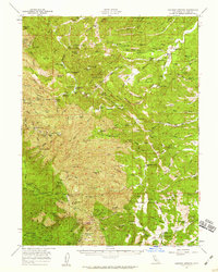
 1949 Colyear Springs1949 Print · USGSTehama County ranching and homesteading life are preserved in this late 1940s survey of the western foothills. Genealogists and historians can trace family locations at Ellison Saunders Ranch, find the remote Grau Mine, and locate the Salt Works in the canyon country.
 - 1952 Map of Red Bank, 1953 Print
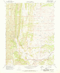
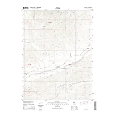
 1952 Red Bank1953 Print · USGSTehama County's ranching landscape is captured here in the early fifties, showing the rural settlement patterns before modern expansion. Genealogists and historians can trace family-named routes and landmarks like Stampfli Road, Elk Flat, and the Grain Tanks near Red Bank.2 unique versions available
 - 1952 Map of Paskenta, 1953 Print
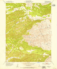
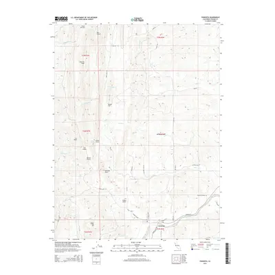
 1952 Paskenta1953 Print · USGSThe foothills of Tehama and Glenn counties come to life in this mid-century survey of the Mendocino National Forest borderlands. Genealogists and local historians can trace family holdings like the Scribner Ranch and Cushman Ranch, or find the old Lowrey Sch.3 unique versions available
 - 1952 Map of Red Bank, 1959 Print
 1952 Red Bank1959 Print · USGSTehama County in the early fifties shows a landscape of cattle ranches and small rural schools west of the Sacramento River. Genealogists and local researchers can trace family lands near St Marys Cem, Red Bank, and the Reeds Creek School.2 unique versions available
 - 1957 Map of Colyear Springs, 1959 Print
 1957 Colyear Springs1959 Print · USGSTehama County in the late fifties was a landscape of remote family homesteads and national forest tracts. Researchers can trace early land use through named sites like the Burrill Homestead, Schoolhouse Flat, and the Lowrey Cemetery.2 unique versions available
 - 1957 Map of Ukiah, 1966 Print
 1957 Ukiah1966 Print · USGSNorthern California's diverse terrain comes into focus in the mid-1950s, from the rugged timberlands of the Jackson State Forest to the productive Sacramento Valley. Genealogists and historians can trace the rail lines of the Northwestern Pacific or locate early valley settlements like Arbuckle and Paskenta.3 unique versions available
 - 1958 Map of Redding
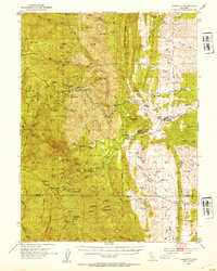
 1958 Redding1958 Print · USGSNorthern California's valley and mountain landscapes are captured in the late fifties, showing the region as new reservoirs reshaped the river systems. Genealogists and historians can trace rail-side towns like Cottonwood, the military presence at Red Bluff Air Force Station, and mountain outposts like Weaverville.5 unique versions available
 - 1958 Map of Flournoy, 1959 Print
 1958 Flournoy1959 Print · USGSThe foothills of Tehama and Glenn counties are captured here in the late fifties, showcasing a rural landscape of ranching and early irrigation. Researchers can locate the Flournoy settlement, the local cemetery, and old thoroughfares like School House Road.
 - 1960 Map of Ukiah
 1960 Ukiah1960 Print · USGSNorthern California during the late fifties reveals a landscape of deep timber forests and valley agriculture before modern expansion. Trace the historic rail lines of the California Western RR and the Northwestern Pacific RR through settlements like Fort Bragg and Ukiah.2 unique versions available
 - 1967 Map of Flournoy, 1968 Print
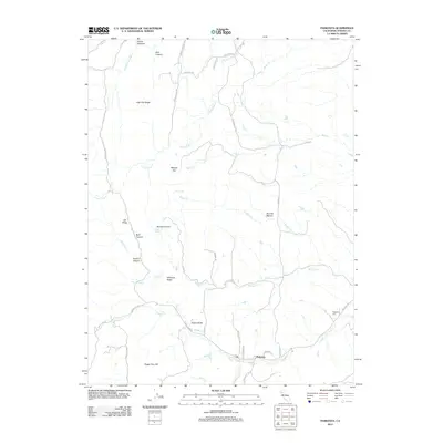
 1967 Flournoy1968 Print · USGSThe community of Flournoy and the surrounding ranch lands are captured here during the late 1960s, framed by the Thomes Creek watershed. Genealogists and historians can trace the Indian Treaty Boundary and find the site of the Flournoy Sch and the Name Lackee Indian Reservation Monument.2 unique versions available
 - 1967 Map of Lowrey, 1969 Print
 1967 Lowrey1969 Print · USGSThe foothills of Tehama County are captured here in the late sixties, centered on the settlement of Lowrey. Researchers can trace old property lines along the Indian Treaty Boundary or locate family sites at Rouse Gardens and the Lowrey Cem.
 - 1967 Map of Paskenta, 1969 Print
 1967 Paskenta1969 Print · USGSTehama County's rugged eastern foothills are captured here in the late sixties, centered on the settlement of Paskenta and its surrounding ranch lands. Researchers can trace the path of the Old Indian Treaty Boundary or locate family sites like Rouse Gardens and Paskenta Cemetery.2 unique versions available
 - 1979 Map of Red Bluff
 1979 Red Bluff1979 Print · USGSTehama and Shasta counties come alive in the late seventies as the agricultural heart of the northern valley meets the high wilderness. Genealogists and local historians can trace the rail-and-river corridor from Red Bluff to Los Molinos, finding sites like Balls Ferry and the Southern Pacific line.3 unique versions available
 - 1987 Map of Willows, 1988 Print
 1987 Willows1988 Print · USGSThe northern Sacramento Valley meets the Coast Range in the late eighties, showing a landscape defined by water and transit. Researchers can trace the Southern Pacific railroad past Artois and Corning, or locate family-named landmarks like Larkins Childrens Rancho and Snaden Island.2 unique versions available
 - 1995 Map of Paskenta, 2001 Print
 1995 Paskenta2001 Print · USGSThe foothills of western Tehama County are shown here in the mid-1990s as a landscape of timber work and creek-side settlement. Genealogists and researchers can trace local landmarks like the Lowrey Sch, Paskenta Cemetery, and the Crane Sawmill burner.
 - 2012 Map of Flournoy, 2012 Print
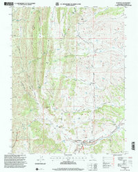
 2012 Flournoy2012 Print · USGSCovers Rancho Tehama Reserve, including Flournoy, Tehama County, and other nearby areas
 - 2012 Map of Paskenta, 2012 Print
 2012 Paskenta2012 Print · USGSCovers Rancho Tehama Reserve, including Paskenta, Tehama County, and other nearby areas
 - 2012 Map of Red Bank, 2012 Print
 2012 Red Bank2012 Print · USGSCovers Rancho Tehama Reserve, including Red Bank, Tehama County, and other nearby areas
 - 2012 Map of Lowrey, 2012 Print
 2012 Lowrey2012 Print · USGSCovers Rancho Tehama Reserve, including Brown Place, Tehama County, and other nearby areas
 - 2015 Map of Flournoy, 2015 Print
 2015 Flournoy2015 Print · USGSCovers Rancho Tehama Reserve, including Flournoy, Tehama County, and other nearby areas
 - 2015 Map of Paskenta, 2015 Print
 2015 Paskenta2015 Print · USGSCovers Rancho Tehama Reserve, including Paskenta, Tehama County, and other nearby areas
 - 2015 Map of Lowrey, 2015 Print
 2015 Lowrey2015 Print · USGSCovers Rancho Tehama Reserve, including Brown Place, Tehama County, and other nearby areas
Showing maps 1-25 of 35
Top cities near Rancho Tehama Reserve
Frequently asked questions
- What are the different types of historical maps available for Rancho Tehama Reserve?
- What is the oldest map of Rancho Tehama Reserve?
- Where can I purchase historical maps of Rancho Tehama Reserve for my home or office?
- Where can I download high-res historical maps of Rancho Tehama Reserve?
- Are there historical topographic maps available for Rancho Tehama Reserve?
- Is there historical aerial imagery available for Rancho Tehama Reserve?
- Where are historical maps of Rancho Tehama Reserve sourced from?