2020s Maps of Mineral County, Colorado
Explore 25 historic maps of Mineral County from the 2020s. These maps offer a rare glimpse into what life looked like during the 2020s — showing old roads, neighborhoods, homes, and landmarks that have changed or disappeared over time.
Whether you're researching your family's past, planning a metal detecting trip, or studying how Mineral County's landscape evolved across the 2020s, these high-resolution maps are a powerful tool for exploring the history of this region.
- Focus on a specific era: All maps on this page are from the 2020s, giving you a focused view of this time period.
- See what’s changed: Compare century-old streets, trails, and buildings to today's modern landscape using overlays and satellite layers.
- Research with precision: Use these maps for genealogy, historical research, land use analysis, or educational projects.
- View, download, or print: Maps are fully viewable online in high resolution, and can be downloaded or printed for your own records.
Start exploring Mineral County's history through authentic maps from the 2020s. This is your window into the past.
Mineral County, CO maps
(25)- 2022 Map of Mesa Mountain, 2022 Print
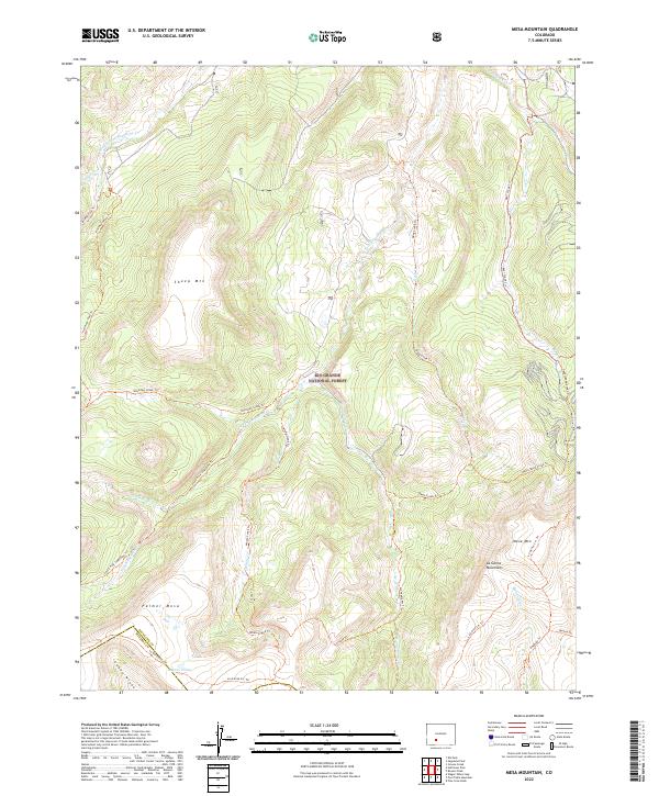 2022 Mesa Mountain2022 Print · USGSThe Saguache and Mineral county line runs through this remote section of the Colorado Rockies during the early 2020s. Researchers can trace high-elevation routes like Halfmoon Pass Trl and identify landmarks from Sheep Mtn to Laguna Hilda.
 - 2022 Map of South Fork West, 2022 Print
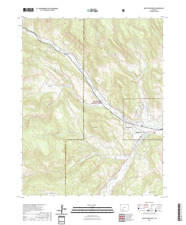 2022 South Fork West2022 Print · USGSSettled at the confluence of mountain waters, this Rio Grande region in the early 2020s shows a landscape of timbered peaks and vital irrigation. Researchers can trace the legacy of water rights and early settlements through the South Fork Highline Ditch, the community of Baxterville, and landmark trails like the Beaver Mountain Trl.
 - 2022 Map of Lake Humphreys, 2022 Print
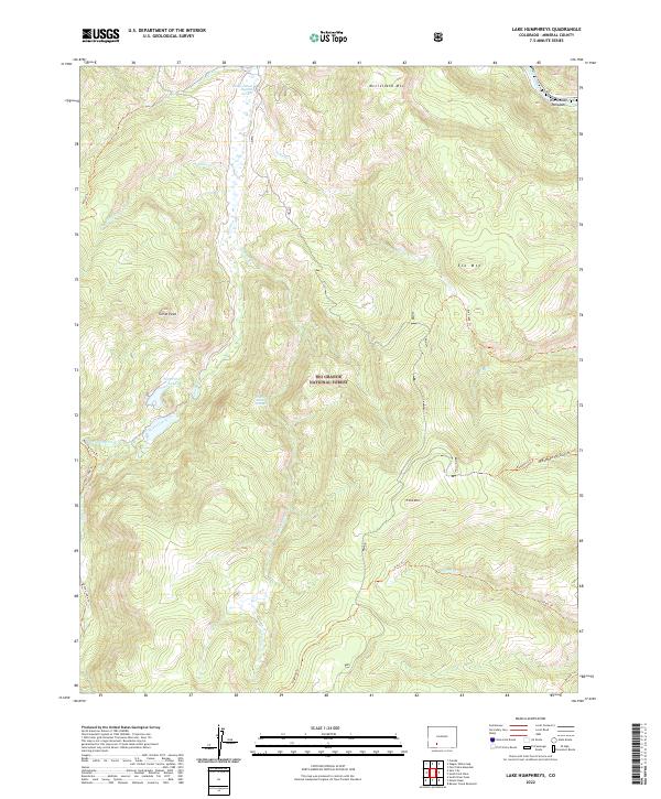 2022 Lake Humphreys2022 Print · USGSMineral County's high-country terrain and geothermal features are recorded in this recent survey. Researchers can trace historic access routes like the Goose Creek Trl or locate landmarks such as Wagon Wheel Gap Hot Springs and Hay Press Lake.
 - 2022 Map of Creede, 2022 Print
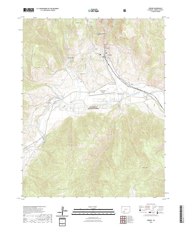 2022 Creede2022 Print · USGSMineral County's silver mining heritage is visible in this modern survey of the high Rockies. Researchers can trace the narrow-gauge-era layout of Creede and North Creede, find the Creede Cem, or follow the Rio Grande past Antlers Park.
 - 2022 Map of Saddle Mountain, 2022 Print
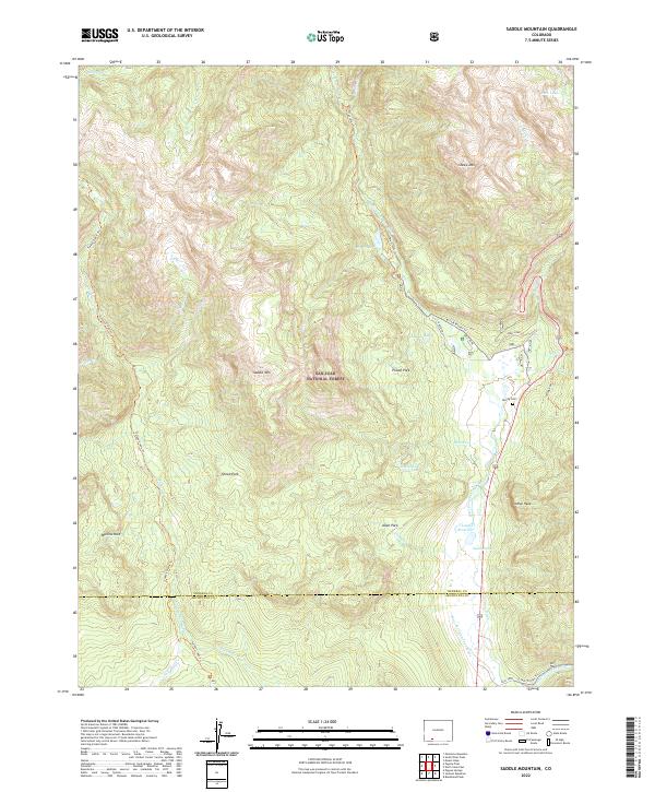 2022 Saddle Mountain2022 Print · USGSThe high ridges of the San Juan mountains come alive in this modern survey of the Mineral and Archuleta county line. Genealogists and researchers can trace the valley's settlement history through the McCoy Cem and established landmarks like Hatcher Lakes and Poison Park.
 - 2022 Map of Beaver Creek Reservoir, 2022 Print
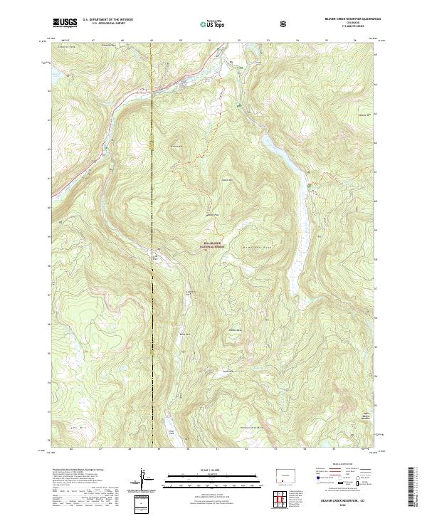 2022 Beaver Creek Reservoir2022 Print · USGSHigh in the Rio Grande National Forest during the early twenty-first century, this landscape shows the intersection of mountain watersheds and early resource exploration. Researchers can trace historical routes like Tewksberry Trl or locate high-altitude landmarks including Coal Mine Park and Million Reservoir.
 - 2022 Map of Spar City, 2022 Print
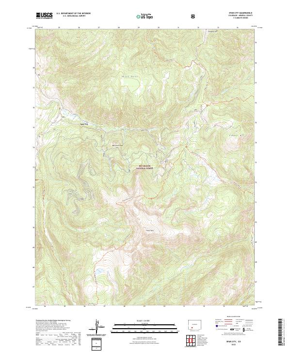 2022 Spar City2022 Print · USGSThe high mountain terrain of Mineral County is mapped here in the early twenty-first century, centered on the historic settlement of Spar City. You can trace the rugged backcountry trail networks including Ivy Creek Trl and Fisher Mountain Trl as they climb toward summits like Snowshoe Mtn.
 - 2022 Map of Pool Table Mountain, 2022 Print
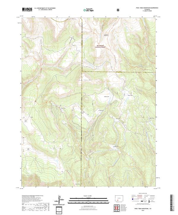 2022 Pool Table Mountain2022 Print · USGSThe high basins and peaks of the La Garita Mountains are shown in detail as they appeared in the early 2020s. Researchers can trace the intersection of three county lines and identify remote locations like Pool Table Mtn, Fish Park, and Corral Park.
 - 2022 Map of Pagosa Peak, 2022 Print
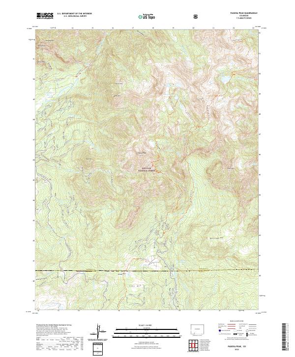 2022 Pagosa Peak2022 Print · USGSThe high backcountry of the San Juan Mountains is documented here in the early twenty-first century, centered on the prominent Pagosa Peak. Outdoor researchers can trace water infrastructure like Dutton Ditch or follow the paths of the Turkey Creek Trl and Piedra Falls Trl.
 - 2022 Map of Slumgullion Pass, 2022 Print
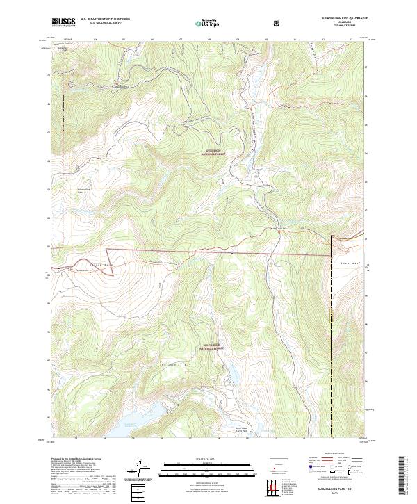 2022 Slumgullion Pass2022 Print · USGSThe high passes of the San Juan Mountains are captured here in the early twenty-first century as the Continental Divide crosses the Hinsdale and Mineral county line. Outdoorsmen and geologists can trace the massive Slumgullion Earthflow and find routes through Rambouillet Park or along Spring Cr.
 - 2022 Map of Workman Creek, 2022 Print
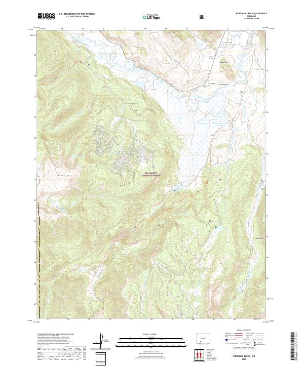 2022 Workman Creek2022 Print · USGSHigh-country water management and mountain peaks define the Mineral County backcountry in the early twenty-first century. Researchers can trace the routes of the Fern Creek Trl and Trout Creek Trl near landmarks like Baldy Mtn and Meadow Lake Reservoir.
 - 2022 Map of Baldy Cinco, 2022 Print
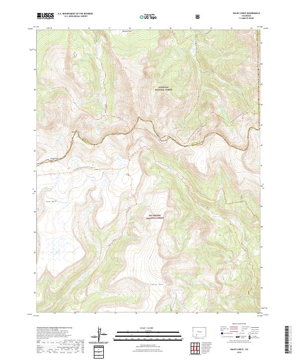 2022 Baldy Cinco2022 Print · USGSThe high-altitude backcountry of Mineral and Hinsdale counties is captured here in the 2020s. Trace the path of the Continental Divide National Scenic Trl across Snow Mesa and locate remote landmarks like Crystal Lake and Table Mtn.
 - 2022 Map of Hermit Lakes, 2022 Print
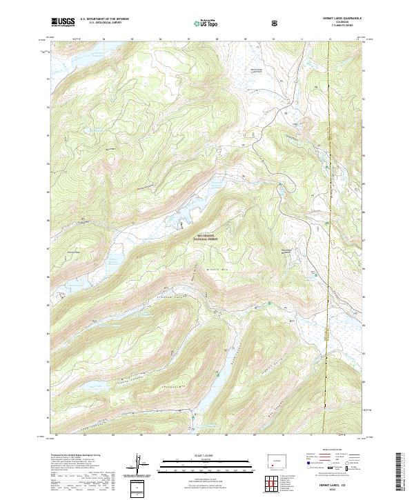 2022 Hermit Lakes2022 Print · USGSThe Colorado high country in the early 2020s remains a landscape of vital watersheds and alpine peaks within the Rio Grande National Forest. Researchers can trace the flow of the Rio Grande and locate landmarks like North Clear Creek Falls and the secluded Hermit Lakes.
 - 2022 Map of Bristol Head, 2022 Print
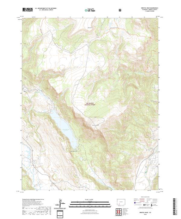 2022 Bristol Head2022 Print · USGSMineral County high country is mapped here in the early 2020s, showing the intersection of mountain watersheds and forest trails. Researchers can trace land use through features like Santa Maria Reservoir, Sawmill Gully, and the Mckenzie Cut-Off Trl.
 - 2022 Map of San Luis Peak, 2022 Print
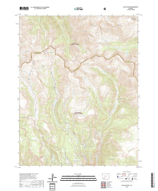 2022 San Luis Peak2022 Print · USGSHigh Mineral County summits define this modern survey of the Continental Divide. Hikers and researchers can trace the Continental Divide National Scenic Trl past San Luis Peak and the remote Phoenix Park.
 - 2022 Map of Mount Hope, 2022 Print
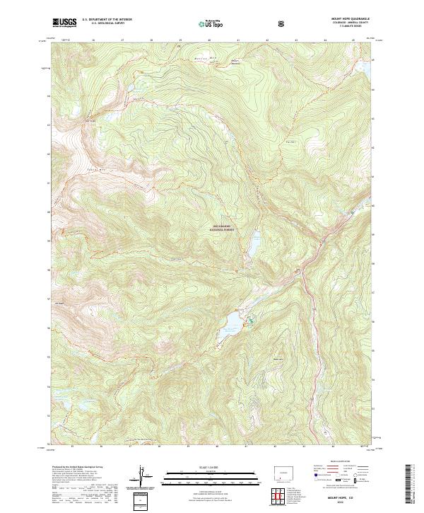 2022 Mount Hope2022 Print · USGSHigh in the San Juan Mountains in 2022, this map shows the rugged headwaters and trail systems within the Rio Grande National Forest. Researchers can trace the Continental Divide National Scenic Trl and locate remote water features like Big Meadows Reservoir and Hunter Reservoir.
 - 2022 Map of Elwood Pass, 2022 Print
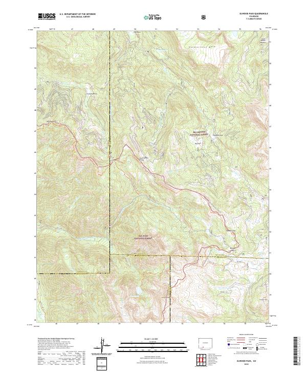 2022 Elwood Pass2022 Print · USGSThe high alpine passes of the San Juan Mountains are documented here in the early twenty-first century, showing where the Great Divide splits the wilderness. Researchers can trace historic routes through Railroad Pass and Elwood Pass or locate the site of the Minesite Cabin.
 - 2022 Map of Oakbrush Ridge, 2022 Print
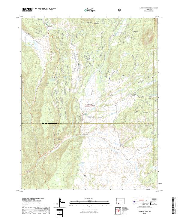 2022 Oakbrush Ridge2022 Print · USGSHigh in the San Juan mountains during the early 2020s, this area shows a landscape defined by forest management and rugged drainages. Trace the historic paths of the Piedra Stock Dr Trl or locate water features like Trail Ridge Reservoir and O'Connell Lake.
 - 2022 Map of Halfmoon Pass, 2022 Print
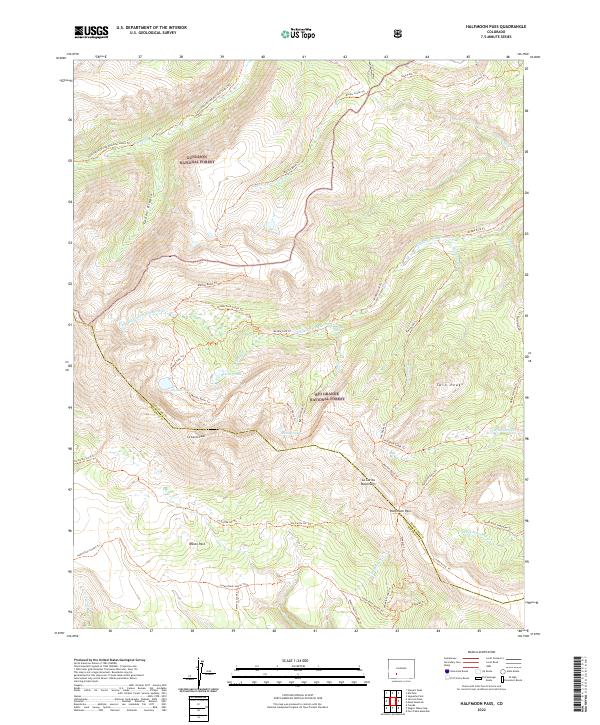 2022 Halfmoon Pass2022 Print · USGSThe high country of the La Garita Mountains appears here in the early 2020s, showing the intersection of Gunnison and Rio Grande national forests. Researchers can trace historic routes through Halfmoon Pass and along the Continental Divide National Scenic Trl to Machin Lake.
 - 2022 Map of South River Peak, 2022 Print
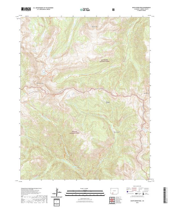 2022 South River Peak2022 Print · USGSThe high Continental Divide in Mineral County is captured here in the early twenty-first century, showing a remote wilderness of alpine peaks and hot springs. Backcountry researchers can trace the Continental Divide National Scenic Trl past South River Peak to Rainbow Hot Springs.
 - 2022 Map of Wolf Creek Pass, 2022 Print
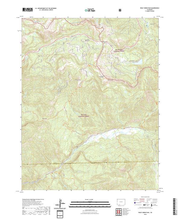 2022 Wolf Creek Pass2022 Print · USGSHigh in the San Juan Mountains in the 2020s, this survey records the alpine crossing at Wolf Creek Pass. Researchers can trace the Continental Divide National Scenic Trl past landmarks like Treasure Mountain and Alberta Peak.
 - 2022 Map of Palomino Mountain, 2022 Print
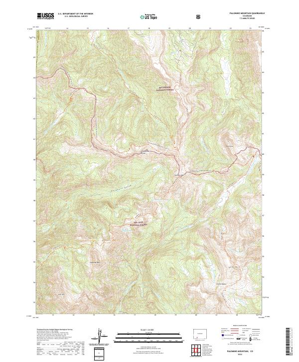 2022 Palomino Mountain2022 Print · USGSThe Continental Divide serves as the backbone of this Mineral County landscape, where the Rio Grande and San Juan National Forests meet. Researchers can trace high-altitude routes like the Continental Divide National Scenic Trl and Middle Creek Trl past landmarks like Palomino Mtn and Window Lake.
 - 2022 Map of Wagon Wheel Gap, 2022 Print
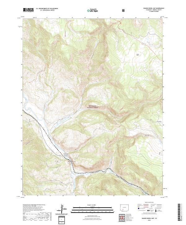 2022 Wagon Wheel Gap2022 Print · USGSModern Colorado mountain life meets high-country wilderness in this recent survey of the Mineral County landscape. Researchers can trace the rugged corridor of the Rio Grande and identify landmarks like the Rio Grande Palisades and Ute Peak.
 - 2023 Map of Cimarrona Peak, 2023 Print
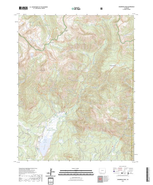 2023 Cimarrona Peak2023 Print · USGSHigh in the San Juan Mountains during the early twenty-first century, this area centers on the rugged Continental Divide. Researchers can trace wilderness trails to Cimarrona Peak, Hossick Lake, and the shores of Williams Creek Reservoir.
 - 2023 Map of Knife Edge, 2023 Print
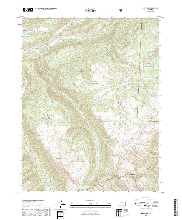 2023 Knife Edge2023 Print · USGSHinsdale County at the roof of the Rockies remains a primitive wilderness of high peaks and alpine headwaters. Trace the historic route of the Continental Divide National Scenic Trail past Knife Edge and the remote Wee Ruby Reservoir.
End of results
Showing maps 1-25 of 25
Top cities of Mineral County
Frequently asked questions
- What are the different types of historical maps available for Mineral County?
- What is the oldest map of Mineral County?
- Where can I purchase historical maps of Mineral County for my home or office?
- Where can I download high-res historical maps of Mineral County?
- Are there historical topographic maps available for Mineral County?
- Is there historical aerial imagery available for Mineral County?
- Where are historical maps of Mineral County sourced from?