2010s Maps of Mineral County, Colorado
Explore 100 historic maps of Mineral County from the 2010s. These maps offer a rare glimpse into what life looked like during the 2010s — showing old roads, neighborhoods, homes, and landmarks that have changed or disappeared over time.
Whether you're researching your family's past, planning a metal detecting trip, or studying how Mineral County's landscape evolved across the 2010s, these high-resolution maps are a powerful tool for exploring the history of this region.
- Focus on a specific era: All maps on this page are from the 2010s, giving you a focused view of this time period.
- See what’s changed: Compare century-old streets, trails, and buildings to today's modern landscape using overlays and satellite layers.
- Research with precision: Use these maps for genealogy, historical research, land use analysis, or educational projects.
- View, download, or print: Maps are fully viewable online in high resolution, and can be downloaded or printed for your own records.
Start exploring Mineral County's history through authentic maps from the 2010s. This is your window into the past.
Mineral County, CO maps
(100)- 2011 Map of Workman Creek, 2011 Print
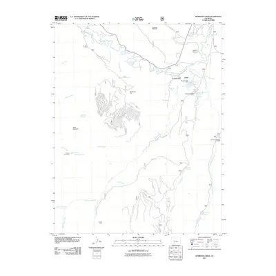 2011 Workman Creek2011 Print · USGSMineral County’s high country is captured here during the early twenty-first century, showing the critical headwaters of the upper Rio Grande. Researchers can trace land use through features like the Sulphur Tunnel, Meadow Lake Reservoir, and the Ivy Creek Campground and Trailhead.
 - 2011 Map of Oakbrush Ridge, 2011 Print
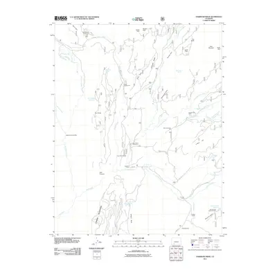 2011 Oakbrush Ridge2011 Print · USGSMineral County ranching and recreation are centered around the forks of the Piedra River in this early twenty-first-century survey. Trace the local infrastructure of the era, from the Debs Community Hall to high-elevation water works at Spring Creek Reservoir Dam and Trail Ridge Reservoir.
 - 2011 Map of Cimarrona Peak, 2011 Print
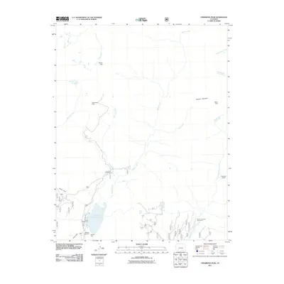 2011 Cimarrona Peak2011 Print · USGSMineral County's high mountain wilderness is captured here in the early twenty-first century, centered on the Williams Creek Reservoir and its surrounding peaks. Outdoor enthusiasts can trace access routes to the Middle Fork Hunter Campground, Poison Park, and the heights of Cimarrona Peak.
 - 2011 Map of San Luis Peak, 2011 Print
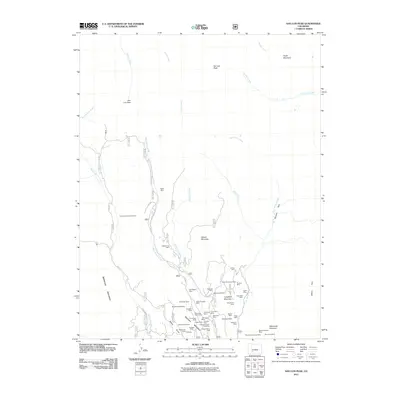 2011 San Luis Peak2011 Print · USGSThe high San Juan peaks come into focus during this 2011 survey, showing an area still defined by its deep-rooted mining history. Researchers can trace the legacy of major silver claims through sites like the Amethyst Mine, Last Chance Mine, and the Equity Mine.
 - 2011 Map of Wolf Creek Pass, 2011 Print
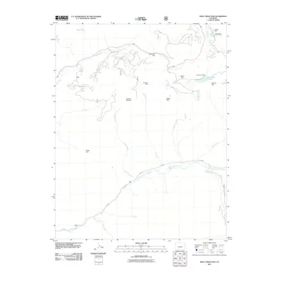 2011 Wolf Creek Pass2011 Print · USGSMineral County's high alpine gaps and river headwaters are documented here during the early twenty-first century. Outdoor enthusiasts and researchers can trace the routes through Wolf Creek Pass, find landmarks like Treasure Falls, and locate the Alberta Park Reservoir.
 - 2011 Map of Beaver Creek Reservoir, 2011 Print
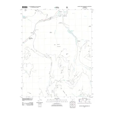 2011 Beaver Creek Reservoir2011 Print · USGSThe Mineral County high country comes into focus in this 2011 survey, showing the development of seasonal communities and mountain resources. Researchers can trace the legacy of local industry at the Saint Christopher Perlite Mine or locate early recreation sites like Lucky Seven Summer Homes and Million Reservoir.
 - 2011 Map of Spar City, 2011 Print
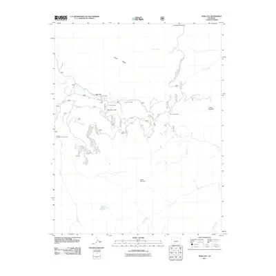 2011 Spar City2011 Print · USGSMineral County mining history is preserved in this study of the San Juan peaks during the early twenty-first century. Researchers can trace the layout of Spar City and locate historic workings like the Denver Tunnel Mine and Emma Mine.
 - 2011 Map of Elwood Pass, 2011 Print
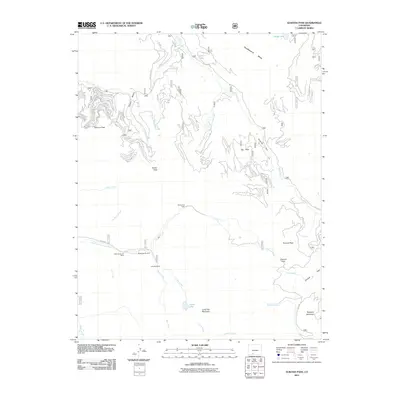 2011 Elwood Pass2011 Print · USGSThe high passes and historic mining claims of Mineral County are preserved here in the early twenty-first century. Researchers can trace the heritage of the Black Diamond Mine and Robert Burns Claim or locate the remote McCormick Cabin.
 - 2011 Map of Lake Humphreys, 2011 Print
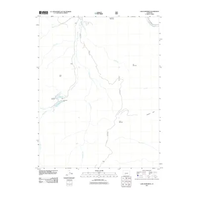 2011 Lake Humphreys2011 Print · USGSMineral County's high-country water systems are documented in detail during the early twenty-first century. Researchers can trace alpine infrastructure from Humphreys Dam to Hay Press Lake and navigate the drainages of Goose Creek and the Rio Grande.
 - 2011 Map of Creede, 2011 Print
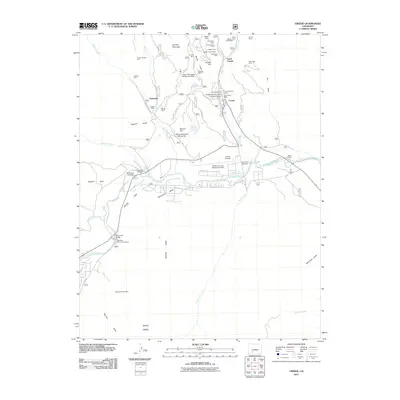 2011 Creede2011 Print · USGSCreede and the high-country mines of Mineral County are shown here at the start of the 2010s. Trace the legacy of silver mining through dozens of named claims including the Commodore, Nelson Tunnel, and the remote Kansas City Star Mine.
 - 2011 Map of Mount Hope, 2011 Print
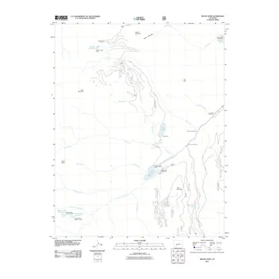 2011 Mount Hope2011 Print · USGSMineral County's high-country terrain and headwaters are documented here in the early twenty-first century. Researchers can trace forest management and recreation sites from Big Meadows Reservoir and Metroz Mountain to the Hunters Lake Trailhead.
 - 2011 Map of South Fork West, 2011 Print
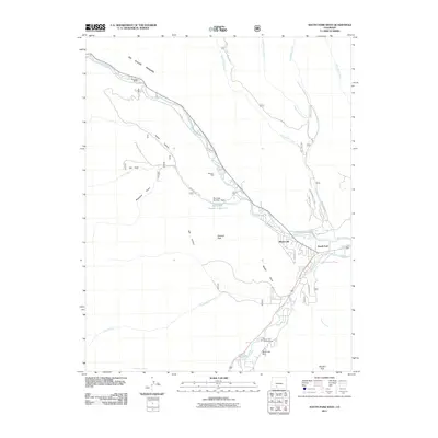 2011 South Fork West2011 Print · USGSSouth Fork and the Rio Grande valley are seen here in the early twenty-first century, showing the confluence of river life and mountain development. Genealogists and hikers can trace old property sites like Riverside Ranch and Masonic Park or the paths of the Alder Creek Trl.
 - 2011 Map of Mesa Mountain, 2011 Print
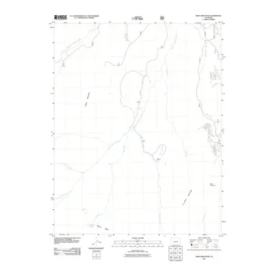 2011 Mesa Mountain2011 Print · USGSThe high peaks of the San Juan range are captured here in the early twenty-first century, showcasing a landscape of massive mesas and mineral prospects. Researchers can locate the Sky City Mine and trace the headwaters of South Fork Saguache Creek and Laguna Hilda.
 - 2011 Map of Halfmoon Pass, 2011 Print
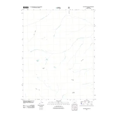 2011 Halfmoon Pass2011 Print · USGSSaguache County's high wilderness is documented here in the early twenty-first century, showing the headwaters and peaks of the La Garita range. Researchers can locate remote landmarks such as the Wheeler Monument, Halfmoon Pass, and Saguache Falls.
 - 2011 Map of South River Peak, 2011 Print
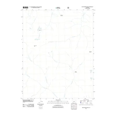 2011 South River Peak2011 Print · USGSMineral County's high-country hydrology and alpine summits are captured here as they appeared in the early 2000s. Researchers can trace the source of the West Fork San Juan River or locate remote water bodies like Goose Lake and Archuleta Lake.
 - 2011 Map of Wagon Wheel Gap, 2011 Print
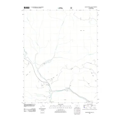 2011 Wagon Wheel Gap2011 Print · USGSThe Rio Grande corridor in the early 2000s remains a landscape of high-country ranching and river-fed valleys. Genealogists and researchers can trace local family landmarks and recreation spots like Phipps Ranch, Wagon Wheel Gap, and Palisade Campground.
 - 2011 Map of Saddle Mountain, 2011 Print
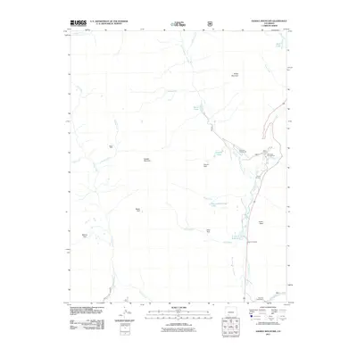 2011 Saddle Mountain2011 Print · USGSHigh in the Colorado Rockies during the early twenty-first century, this area shows a landscape shaped by water management and mountain recreation. Genealogists and historians can locate the McCoy Cemetery, the remote Blacks Mine, and landmarks like the West Fork Ranch.
 - 2011 Map of Pool Table Mountain, 2011 Print
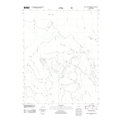 2011 Pool Table Mountain2011 Print · USGSSaguache County's high-country terrain is captured here in the early twenty-first century, showing a landscape defined by expansive mesas and isolated camps. Local researchers can trace the locations of Hansons Mill and Fremonts Camp among named landmarks like Pool Table Mountain.
 - 2011 Map of Hermit Lakes, 2011 Print
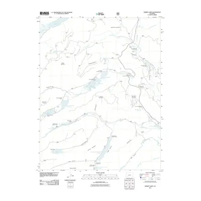 2011 Hermit Lakes2011 Print · USGSThe high Colorado backcountry of Mineral County is captured here in the early twenty-first century as a landscape of remote ranches and alpine reservoirs. Genealogists and historians can trace local landmarks like San Juan Ranch, Hermit Lakes, and the S Lazy U Reservoirs.
 - 2011 Map of Bristol Head, 2011 Print
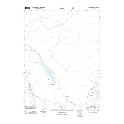 2011 Bristol Head2011 Print · USGSHigh-altitude water management and mountain transit define this part of Mineral County in the early twenty-first century. Researchers can trace the engineering of the Santa Maria Lake Dam or locate seasonal sites like the Rio Grande Campground and Ghost Lake.
 - 2011 Map of Knife Edge, 2011 Print
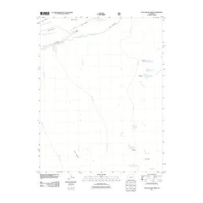 2011 Knife Edge2011 Print · USGSMineral County's high-country drainages and alpine reservoirs are meticulously detailed in this early twenty-first-century survey of the upper Rio Grande. Researchers and outdoorsmen can trace the rugged water systems from Trout Lake to the sharp ridge of Knife Edge.
 - 2011 Map of Slumgullion Pass, 2011 Print
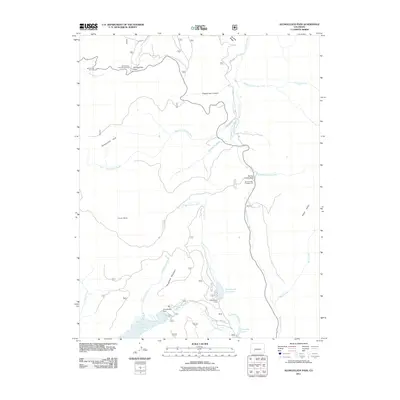 2011 Slumgullion Pass2011 Print · USGSMineral County's high alpine passes and major water storage reservoirs are captured here in the early twenty-first century. Researchers can trace the drainages of Cebolla Creek and locate landmarks like Slumgullion Pass and Continental Reservoir.
 - 2011 Map of Baldy Cinco, 2011 Print
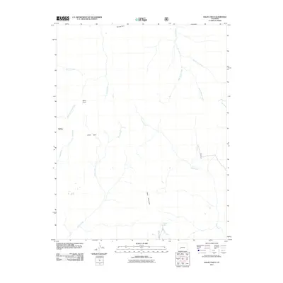 2011 Baldy Cinco2011 Print · USGSHigh in Saguache County during the early 21st century, this alpine region is defined by its complex watershed and soaring peaks. Researchers can trace the drainage patterns of Willow Creek and Miners Creek or locate the remote Meadow Lake Dam and Crystal Lake.
 - 2011 Map of Palomino Mountain, 2011 Print
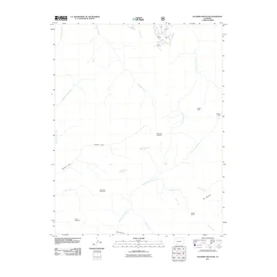 2011 Palomino Mountain2011 Print · USGSMineral County's high-elevation watersheds and peaks are captured here in the early twenty-first century. Researchers can trace the headwaters of the East Fork Piedra River and locate remote alpine landmarks like Window Lake and Piedra Peak.
 - 2011 Map of Pagosa Peak, 2011 Print
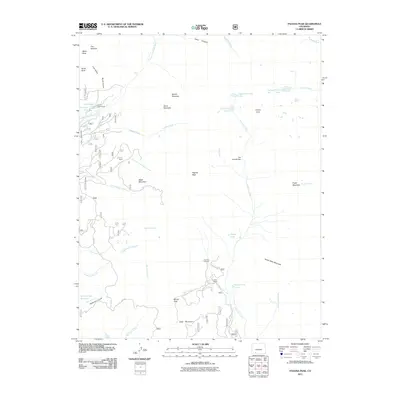 2011 Pagosa Peak2011 Print · USGSIn the high San Juan Mountains during the early twenty-first century, this area shows a landscape shaped by ranching and mining. Researchers can trace the layout of Cade Ranch, locate the Jim Tree Mine, and follow the path to Piedra Falls.
Showing maps 1-25 of 100
Top cities of Mineral County
Frequently asked questions
- What are the different types of historical maps available for Mineral County?
- What is the oldest map of Mineral County?
- Where can I purchase historical maps of Mineral County for my home or office?
- Where can I download high-res historical maps of Mineral County?
- Are there historical topographic maps available for Mineral County?
- Is there historical aerial imagery available for Mineral County?
- Where are historical maps of Mineral County sourced from?