2020s Maps of Moffat County, Colorado
Explore 122 historic maps of Moffat County from the 2020s. These maps offer a rare glimpse into what life looked like during the 2020s — showing old roads, neighborhoods, homes, and landmarks that have changed or disappeared over time.
Whether you're researching your family's past, planning a metal detecting trip, or studying how Moffat County's landscape evolved across the 2020s, these high-resolution maps are a powerful tool for exploring the history of this region.
- Focus on a specific era: All maps on this page are from the 2020s, giving you a focused view of this time period.
- See what’s changed: Compare century-old streets, trails, and buildings to today's modern landscape using overlays and satellite layers.
- Research with precision: Use these maps for genealogy, historical research, land use analysis, or educational projects.
- View, download, or print: Maps are fully viewable online in high resolution, and can be downloaded or printed for your own records.
Start exploring Moffat County's history through authentic maps from the 2020s. This is your window into the past.
Moffat County, CO maps
(122)- 2020 Map of Willow Creek Butte, 2020 Print
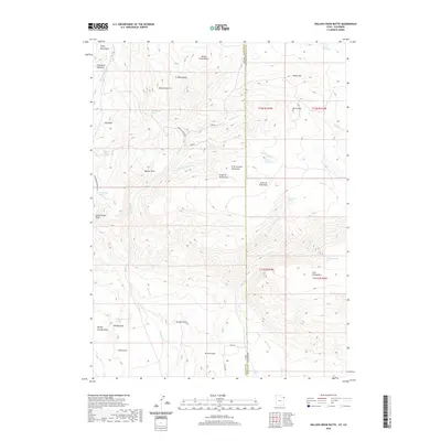 2020 Willow Creek Butte2020 Print · USGSThe high-desert borderlands of Colorado and Utah are captured here in the modern era, showing the remote draws and peaks of Moffat and Daggett counties. Genealogists and historians can locate isolated water sources and landmarks like Honeymoon Spring, Whisky Peak, and Browns Park.
 - 2020 Map of Hoy Mountain, 2020 Print
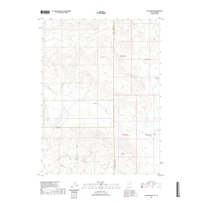 2020 Hoy Mountain2020 Print · USGSThe high-elevation borders of Utah and Colorado are captured here in the late twenty-teens, showing the remote intersections of three counties. Researchers can trace land use through a network of rural routes like Wild Mountain Rd and find water sources like Tittle Reservoir and Miles Reservoir.
 - 2020 Map of Snake John Reef, 2020 Print
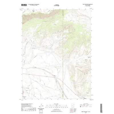 2020 Snake John Reef2020 Print · USGSThe Utah-Colorado state line near Dinosaur was captured in the early 21st century as a landscape of ridges and ranch roads. Trace the rugged terrain from Snake John Reef to Blue Mountain Plateau, following routes like Trail Creek Rd and K Ranch Rd.
 - 2020 Map of Swallow Canyon, 2020 Print
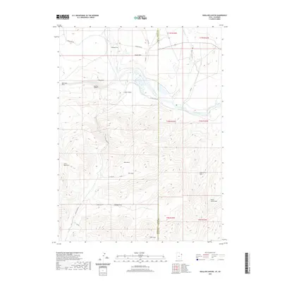 2020 Swallow Canyon2020 Print · USGSThe Green River borderlands of Utah and Colorado appear in this recent survey, showcasing the remote river corridors and mountain draws of the high desert. Researchers can trace the path of the Beaver Creek Trail and identify landmarks like Kings Point and Swallow Canyon.
 - 2020 Map of Jones Hole, 2020 Print
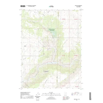 2020 Jones Hole2020 Print · USGSThe borderlands of Utah and Colorado are defined here by the winding Green River and the high plateaus of the Uinta Basin. Researchers can trace the layout of the Jones Hole National Fish Hatchery or locate remote landmarks like Harpers Corner and Whirlpool Canyon.
 - 2021 Map of Powder Mountain, 2021 Print
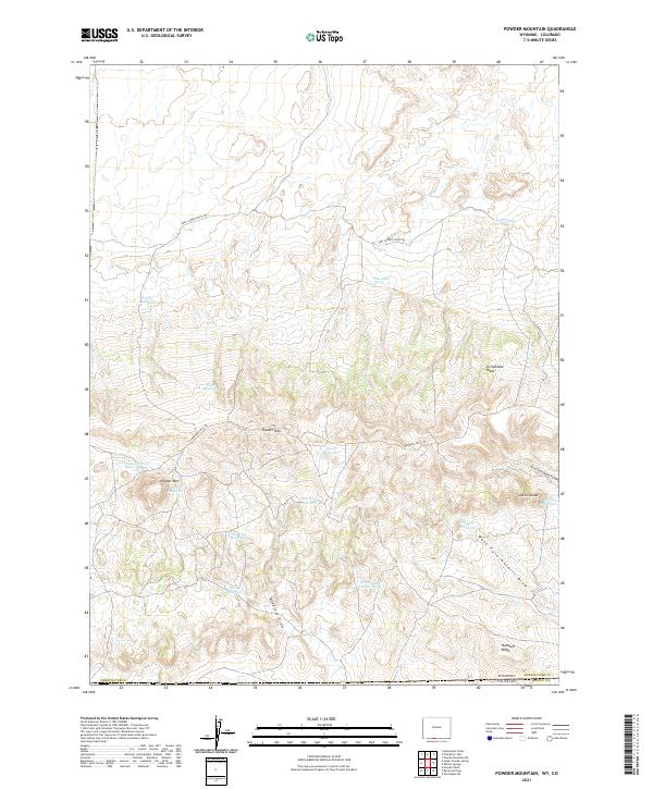 2021 Powder Mountain2021 Print · USGSThe high-desert ranching country of southern Wyoming meets the Colorado border in the early 2020s. Trace historic routes and vital water sources like the Cherokee Trail Rd, Moonshine Spring, and Salt Lick Reservoir.
 - 2021 Map of Rotten Springs, 2021 Print
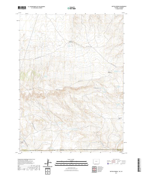 2021 Rotten Springs2021 Print · USGSThe Wyoming and Colorado borderlands come into focus in this recent survey of the Sweetwater County high desert. Trace the historic route of the Cherokee Trail Rd and locate vital water sources like Rotten Springs, Chimney Reservoir, and Peeler Spring.
 - 2021 Map of Four J Rim, 2021 Print
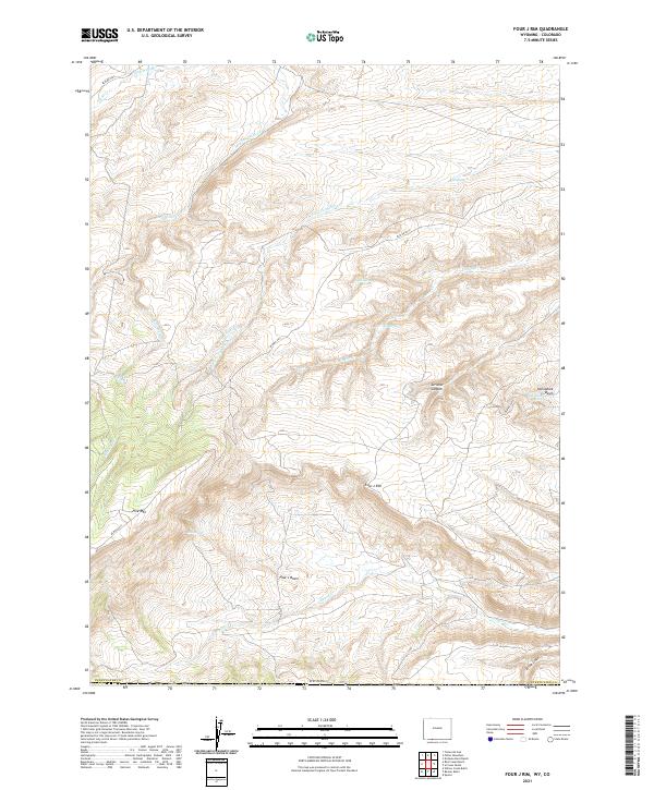 2021 Four J Rim2021 Print · USGSHigh-desert rangelands in Sweetwater County appear here in recent years, showing a landscape defined by its isolated water sources. Researchers can trace remote routes like BLM RD 4413 to find named landmarks such as Four J Rim, Bell Spring, and Pine Lake.
 - 2021 Map of Baggs, 2021 Print
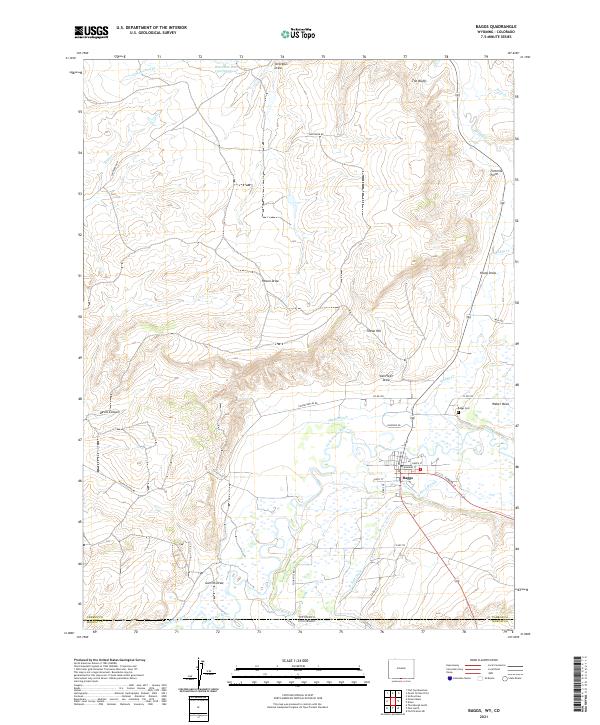 2021 Baggs2021 Print · USGSThe settlement of Baggs sits along the Little Snake River at the Wyoming-Colorado border in this modern survey of the high desert. Researchers can trace the intricate irrigation network of the Baggs Ditch, locate the Baggs Cem, and explore landmarks like Tincan Hill.
 - 2021 Map of McPherson Springs, 2021 Print
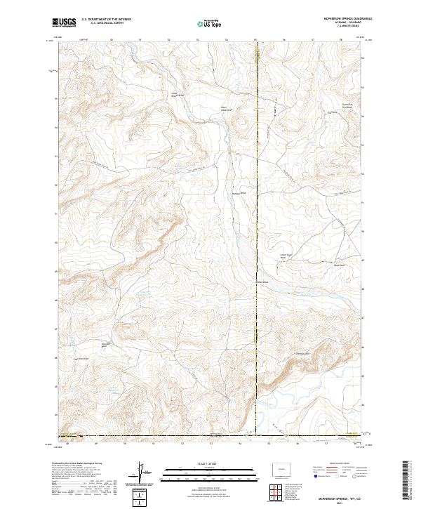 2021 McPherson Springs2021 Print · USGSThe Wyoming-Colorado state line comes alive in the early twenty-first century as a landscape of remote ranching and water management. Researchers can trace historic stock movements along the Shell Creek Stock Trl and locate isolated landmarks like Mcpherson Springs and Clay Flat Reservoir.
 - 2021 Map of Grieve Reservoir, 2021 Print
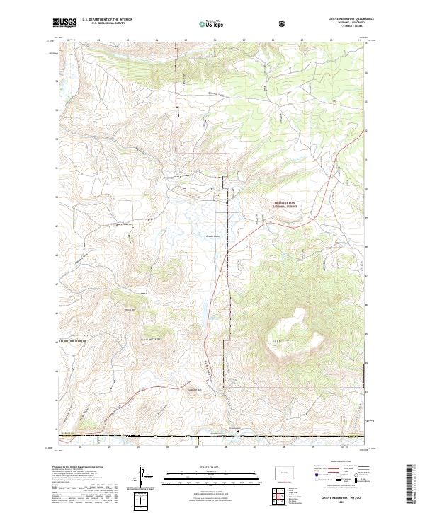 2021 Grieve Reservoir2021 Print · USGSThe high-country border between Carbon County and Colorado is documented here in the early twenty-first century. Genealogists and researchers can trace local landmarks like Anderson Cem, Grieve Reservoir, and the ranching infrastructure at Savery Corral.
 - 2021 Map of Poison Basin, 2021 Print
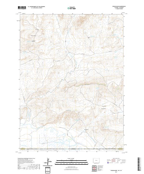 2021 Poison Basin2021 Print · USGSCarbon County's high desert borderlands are captured here in the early twenty-first century, showcasing a sophisticated network of ranching infrastructure. Trace the historic irrigation of the Little Snake River through the Home Ditch and Gibson-Blair Ditch, or locate landmarks like Poison Buttes.
 - 2021 Map of Savery, 2021 Print
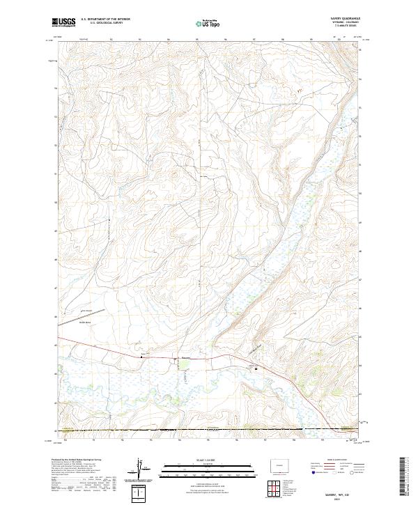 2021 Savery2021 Print · USGSThe Carbon County borderlands near the Colorado line come into focus in this contemporary survey. Researchers can trace local lineage at Baker Cem and Reader Cem or follow the waters of the Little Snake River through the valley.
 - 2021 Map of Dixon, 2021 Print
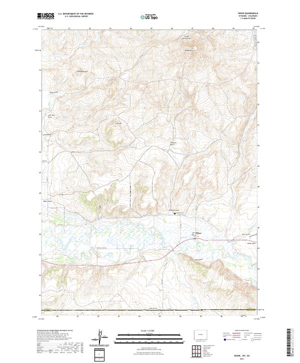 2021 Dixon2021 Print · USGSThe Dixon area on the Wyoming-Colorado border shows a high-desert landscape defined by the Little Snake River valley in 2021. Researchers can trace irrigation works like the W Side Canal, family history at Eversole Cem, and landmarks such as Chalk Bluff.
 - 2021 Map of Red Creek Ranch, 2021 Print
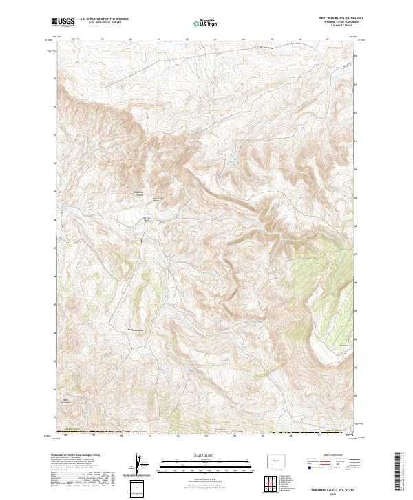 2021 Red Creek Ranch2021 Print · USGSSweetwater County ranching and high-desert hydrology are documented in this recent survey of the Wyoming-Utah-Colorado borderlands. Researchers can trace the remote Red Creek Ranch and landmarks like Telephone Canyon or the Tepee Mountains.
 - 2021 Map of Chicken Creek SE, 2021 Print
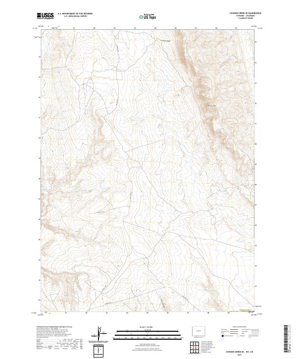 2021 Chicken Creek SE2021 Print · USGSSouthwestern Wyoming's high plateau country comes into focus in this modern survey of the Sweetwater County borderlands. Genealogists and historians can trace the remote path of Hiawatha Rd as it skirts the deep contours of Hells Canyon and the prominent Kinney Rim.
 - 2021 Map of Upper Powder Spring, 2021 Print
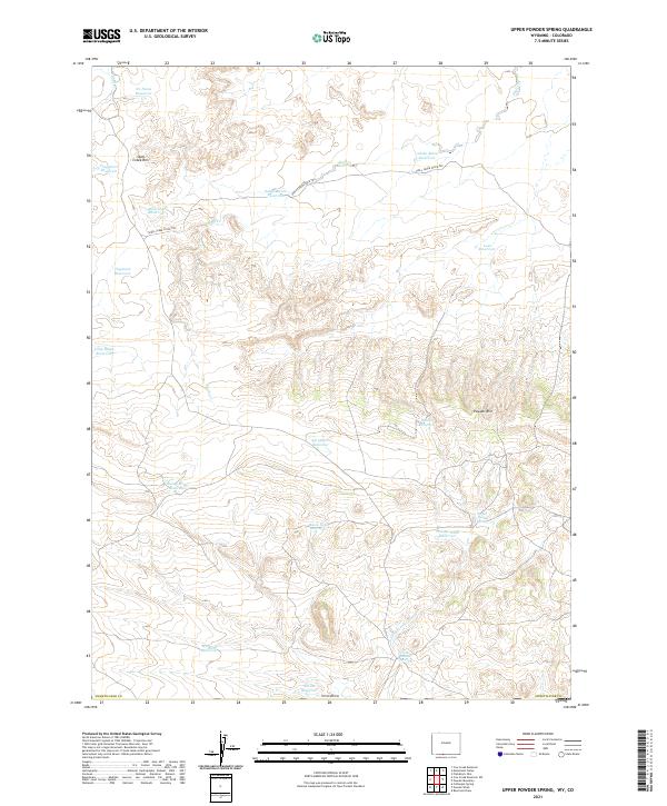 2021 Upper Powder Spring2021 Print · USGSSweetwater County rangeland is captured here in the early 2020s, showing a landscape defined by livestock water management and high-rim terrain. Researchers can trace the Shell Creek Stock Trl and find numerous remote catchments like Miserable Reservoir and Upper Powder Spring.
 - 2021 Map of Cow Creek Reservoir SW, 2021 Print
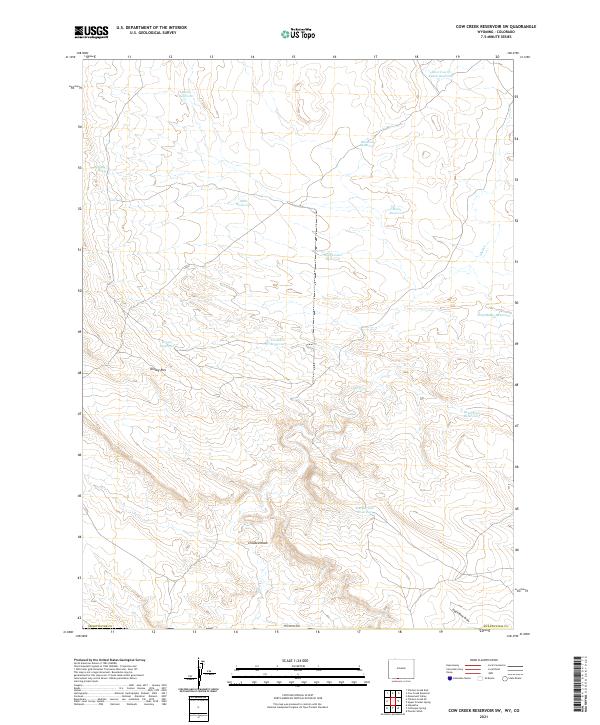 2021 Cow Creek Reservoir SW2021 Print · USGSHigh plains terrain in Sweetwater County during the twenty-first century reveals a landscape defined by water management and grazing. Researchers can trace the layout of numerous stock ponds and reservoirs such as Muir Reservoir, High Center Reservoir, and Kinney Rim.
 - 2021 Map of Scrivner Butte, 2021 Print
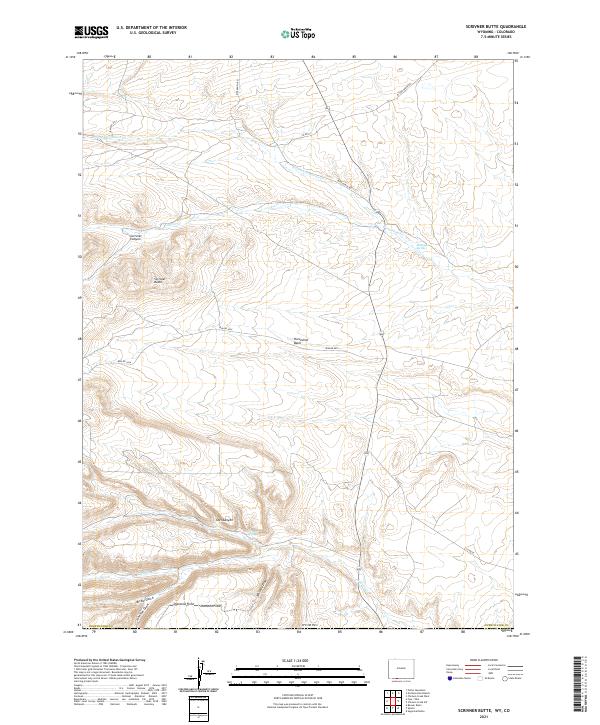 2021 Scrivner Butte2021 Print · USGSHigh-desert ranchlands and deep draws define this corner of Sweetwater County in the early twenty-first century. Researchers can trace land-use patterns through isolated landmarks like Diamond Field, Scrivner Butte, and the network of routes including Rife Ranch Rd.
 - 2021 Map of Chicken Creek SW, 2021 Print
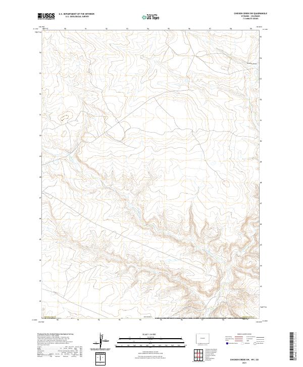 2021 Chicken Creek SW2021 Print · USGSThe high desert of southern Wyoming at the Colorado border is mapped here in its modern state. Trace the remote drainages of Vermillion Creek and Alkali Creek or locate isolated access routes like Hiawatha Road and County Road 25.
 - 2022 Map of Stuntz Reservoir, 2022 Print
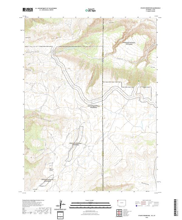 2022 Stuntz Reservoir2022 Print · USGSThe high plateaus and canyons of the Colorado-Utah border appear in sharp detail during this modern survey. Researchers can trace the path of Echa Park Rd past Ruple Point or locate isolated water sources like Dudley Pond and Iron Springs Wash Pool Cr.
 - 2022 Map of Juniper Mountain, 2022 Print
 2022 Juniper Mountain2022 Print · USGSMoffat County's high-desert landscape comes into focus in this contemporary survey of the area around Juniper Mtn. Researchers can trace the path of the Yampa River as it enters Juniper Canyon and locate vital water sources like Boxelder Spring.
 - 2022 Map of Fortification, 2022 Print
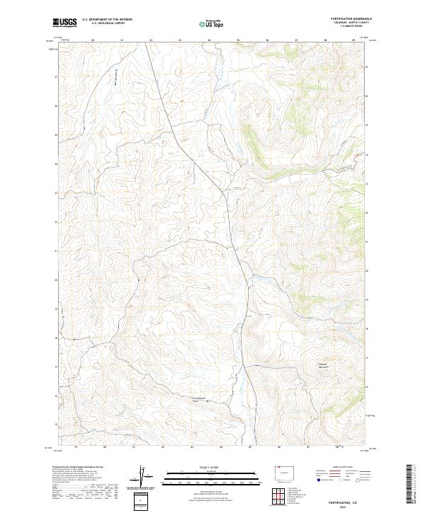 2022 Fortification2022 Print · USGSIn the high-country drainages of Moffat County during the early twenty-first century, this landscape is defined by the convergence of mountain streams. Researchers can trace the winding paths of Fortification Cr and Fourmile Cr or locate the distinct formations of Fortification Rocks.
 - 2022 Map of Lay, 2022 Print
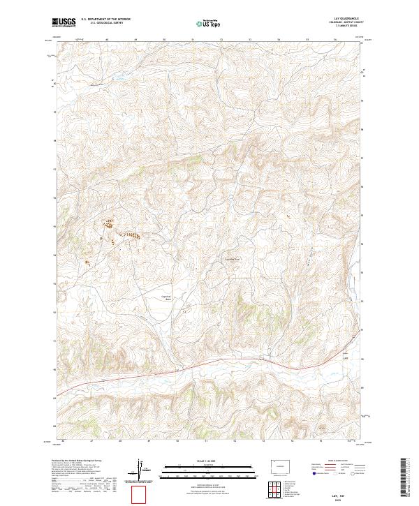 2022 Lay2022 Print · USGSThe community of Lay and the drainage of Lay Cr anchor this high-plains landscape in Moffat County. Genealogists and researchers can trace the rural road networks and family-named landmarks like Sugarloaf Peak and Mud Spring.
 - 2022 Map of Cross Mountain Canyon, 2022 Print
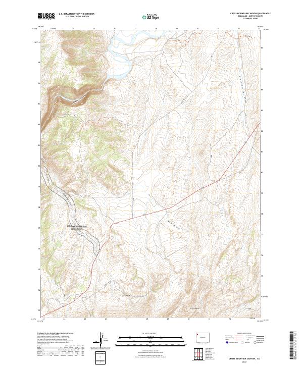 2022 Cross Mountain Canyon2022 Print · USGSMoffat County's remote high desert and river canyons are detailed in this recent survey. Researchers can trace the path of the Yampa River through Cross Mountain Canyon and locate the boundary of Dinosaur National Monument.
Showing maps 1-25 of 122
Top cities of Moffat County
Frequently asked questions
- What are the different types of historical maps available for Moffat County?
- What is the oldest map of Moffat County?
- Where can I purchase historical maps of Moffat County for my home or office?
- Where can I download high-res historical maps of Moffat County?
- Are there historical topographic maps available for Moffat County?
- Is there historical aerial imagery available for Moffat County?
- Where are historical maps of Moffat County sourced from?