1970s Maps of Moffat County, Colorado
Explore 18 historic maps of Moffat County from the 1970s. These maps offer a rare glimpse into what life looked like during the 1970s — showing old roads, neighborhoods, homes, and landmarks that have changed or disappeared over time.
Whether you're researching your family's past, planning a metal detecting trip, or studying how Moffat County's landscape evolved across the 1970s, these high-resolution maps are a powerful tool for exploring the history of this region.
- Focus on a specific era: All maps on this page are from the 1970s, giving you a focused view of this time period.
- See what’s changed: Compare century-old streets, trails, and buildings to today's modern landscape using overlays and satellite layers.
- Research with precision: Use these maps for genealogy, historical research, land use analysis, or educational projects.
- View, download, or print: Maps are fully viewable online in high resolution, and can be downloaded or printed for your own records.
Start exploring Moffat County's history through authentic maps from the 1970s. This is your window into the past.
Moffat County, CO maps
(18)- 1970 Map of Powder Mountain, 1973 Print
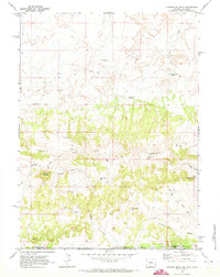 1970 Powder Mountain1973 Print · USGSThe high desert of the Wyoming-Colorado border comes into focus in this early 1970s survey. Researchers can trace the path of the Cherokee Trail past isolated water sources like Moonshine Spring and Powder Mountain Res.
 - 1970 Map of Upper Powder Spring, 1973 Print
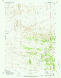 1970 Upper Powder Spring1973 Print · USGSThe high desert along the Wyoming-Colorado border in the early seventies shows a landscape defined by water management and the rugged Powder Rim. Genealogists and historians can trace essential water sources like Upper Powder Spring and remote reservoirs such as Miserable Res.
 - 1970 Map of Mc Pherson Springs, 1973 Print
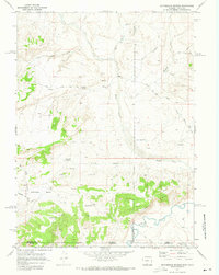 1970 Mc Pherson Springs1973 Print · USGSThe high-country border of Wyoming and Colorado is documented here in the early 1970s, showing a landscape of resource extraction and ranching. Genealogists and historians can trace old stock trails and jeep trails past Mcpherson Springs and the numerous drill holes within the Cherokee Basin.2 unique versions available
 - 1970 Map of Cow Creek Reservoir SW, 1973 Print
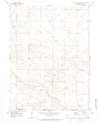 1970 Cow Creek Reservoir SW1973 Print · USGSThe high-desert borderlands of Sweetwater and Moffat counties come to life in this early 1970s survey. Researchers can trace historic ranching infrastructure through water features like Espitallier Spring, High Center Res, and the Lower Shell Creek Crossing.
 - 1970 Map of Rotten Springs, 1973 Print
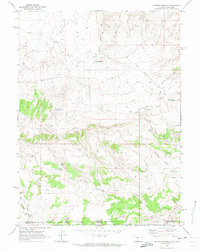 1970 Rotten Springs1973 Print · USGSThe high-desert borderlands of Wyoming and Colorado are captured here in the early seventies, centered on the imposing Powder Rim. Researchers can trace the path of the Cherokee Trail Road and locate isolated water sites like MFS Homestead Wells or Rotten Springs.
 - 1970 Map of Poison Basin, 1973 Print
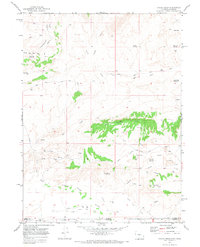 1970 Poison Basin1973 Print · USGSThe Wyoming and Colorado borderlands in the early seventies reveal an active landscape of energy exploration and high-desert water management. Researchers can trace resource development through various Oil Wells and Mines while locating landmarks like Poison Buttes and the Gibson Blair Ditch.2 unique versions available
 - 1971 Map of Breeze Mountain, 1974 Print
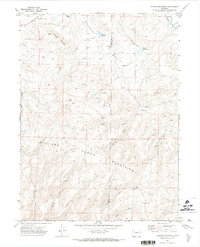 1971 Breeze Mountain1974 Print · USGSMoffat and Routt Counties are captured here in the early 1970s during a period of active energy exploration across the high basins. Genealogists and historians can trace family-named landmarks and infrastructure like Dresher Reservoir, the Airway Beacon on Breeze Mountain, and numerous remote Mine and Gas Well sites.4 unique versions available
 - 1971 Map of Ralph White Lake, 1974 Print
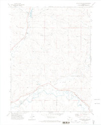 1971 Ralph White Lake1974 Print · USGSNorthwest Colorado in the early seventies shows a landscape shaped by water rights and rail transport along the Yampa River. Genealogists and historians can trace the Denver and Rio Grande Western line or locate the historic Dowden Bridge and Ralph White Lake.
 - 1971 Map of Mc Inturf Mesa, 1974 Print
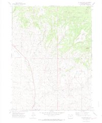 1971 Mc Inturf Mesa1974 Print · USGSNorthwestern Colorado high country comes into focus in the early seventies, showing a landscape defined by ranching and resource extraction. Researchers can trace historic water rights via the Cataract Ditch and Elkhorn Ditch, or locate the Bridges Mine and Seymour Mine.4 unique versions available
 - 1971 Map of Slide Mountain, 1974 Print
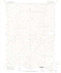 1971 Slide Mountain1974 Print · USGSThe high timber and peaks of the Moffat and Routt County line are captured here in the early seventies. Genealogists and historians can trace high-altitude water rights and trails like the Tipton Ditch, Anderson Res, and the historic Bears Ears Trail.4 unique versions available
 - 1971 Map of Pagoda, 1974 Print
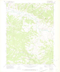 1971 Pagoda1974 Print · USGSMoffat and Routt Counties are captured here in the early 1970s, showcasing a landscape of high-altitude ranching and mining. Local historians can trace the paths of the Highland Ditch and locate the Cedar Creek Mine or the isolated settlement of Pagoda.4 unique versions available
 - 1971 Map of Rock Spring Gulch, 1974 Print
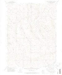 1971 Rock Spring Gulch1974 Print · USGSNorthwestern Colorado in the early seventies is mapped here at the boundary of Moffat and Routt counties near the winding Yampa River. Trace the network of family-named drainages and early infrastructure like Jimmy Dunn Gulch, Cary Gulch, and the local Radio Tower.
 - 1975 Map of Baggs SW, 1978 Print
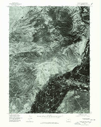 1975 Baggs SW1978 Print · USGSIn the mid-seventies, this Carbon County landscape was captured through high-altitude aerial photography before modern development altered its natural state. Researchers can study the original footprint of Dead Horse Reservoir and the complex network of seasonal drainages that define this terrain.
 - 1975 Map of Baggs SE, 1978 Print
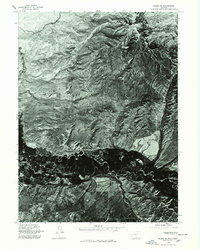 1975 Baggs SE1978 Print · USGSThe High Plains of the Wyoming-Colorado border are captured in mid-seventies detail through this aerial survey of the Little Snake River valley. Geologists and local historians can trace the rugged topography of Muddy Mtn and the winding river bottomlands.
 - 1979 Map of Craig
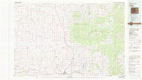 1979 Craig1979 Print · USGSNorthwest Colorado in the late seventies reveals a landscape of industrial expansion and high-country wilderness centered on Craig. Genealogists and historians can trace the legacy of mining and transport through Morgan Creek Mine No 1, the Denver and Rio Grande Western Railroad, and the settlement of Lay.
 - 1979 Map of Meeker
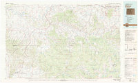 1979 Meeker1979 Print · USGSNorthwestern Colorado in the late seventies reveals a landscape of high-country wilderness and expanding energy production. Researchers can trace the Denver and Rio Grande Western RR as it serves the Energy Mine and Coal View Mine, or locate the Thornburgh Historical Site and Meeker Cemetery.
 - 1979 Map of Rangely
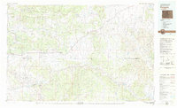 1979 Rangely1979 Print · USGSNorthwestern Colorado in the late seventies is a landscape of high-desert basins and industrial energy hubs. Local historians can trace the development of the Rangely Oil Field, the layout of Colorado Northwestern Community College, and crossroads at Massadona and Elk Springs.
 - 1979 Map of Canyon of Lodore
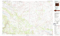 1979 Canyon of Lodore1979 Print · USGSNorthwest Colorado in the late seventies is captured here as a wild corridor of river canyons and high desert bluffs. Researchers can trace the remote reaches of the Canyon of Lodore and locate early settlements like Maybell or Hiawatha.2 unique versions available
End of results
Showing maps 1-18 of 18
Top cities of Moffat County
Frequently asked questions
- What are the different types of historical maps available for Moffat County?
- What is the oldest map of Moffat County?
- Where can I purchase historical maps of Moffat County for my home or office?
- Where can I download high-res historical maps of Moffat County?
- Are there historical topographic maps available for Moffat County?
- Is there historical aerial imagery available for Moffat County?
- Where are historical maps of Moffat County sourced from?