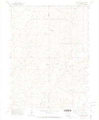
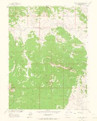
1971 Map of Slide Mountain
USGS Topo · Published 1974About this map
Routt National Forest dominates this landscape, covering a high-elevation terrain defined by the triple peaks of Slide Mountain, Buck Mountain, and Agner Mountain. The 1971 survey reveals an intricate network of remote infrastructure, where seasonal Pack Trail routes and the historic Bears Ears Trail cross the Moffat and Routt County line. Water management is central to the area's utility, visible through the engineered paths of the Tipton Ditch and dual Mc Kinlay Ditch No 1 and No 2. These systems, along with the Anderson Res and several Gaging Stations along the North Fork Elkhead Creek, illustrate how high-country snowmelt was captured and directed for use downstream. The presence of multiple Drill Holes suggests localized geologic exploration amidst the drainage basins of Sawmill Creek and Dry Fork Little Bear Creek.
Find a feature on this map
26 named features on this map. Tap any name to fly to it.
Don’t see what you’re looking for? This feature index may not catch every label — zoom into the map to look around manually.
Map Details
Editions of this 1971 Slide Mountain Map
4 editions found
Other maps of this area

1923 · Elkhead Creek
USGS Topo · 1:62,500

1923 · Pilot Knob
USGS Topo · 1:62,500

1924 · Elkhead Creek
USGS Topo · 1:62,500

1925 · Pilot Knob
USGS Topo · 1:62,500

1954 · Craig
USGS Topo · 1:250,000

1957 · Craig
USGS Topo · 1:250,000

1958 · Craig
USGS Topo · 1:250,000

1960 · Craig
USGS Topo · 1:250,000

1962 · Craig
USGS Topo · 1:250,000
1962 · Bears Ears Peaks
USGS Topo · 1:24,000