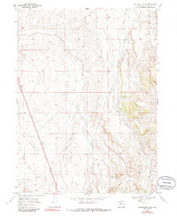
1969 Map of Fortification NE
USGS Topo · Published 1986About this map
Willow Creek Ranch stands as a primary point of human settlement in this high-plains landscape of Moffat County, surveyed just before the 1970s. The map illustrates a region defined by its water sources and developing energy infrastructure, as seen with the presence of a Gas Well and a prominent Pipeline cutting across the terrain. Hydrological management is evident through the inclusion of a Gaging Sta along Willow Creek, while Fourmile Creek and Mud Spring Draw provide the natural drainage for the area. The movement through this territory is marked by a rugged Jeep Trail, indicating a period where access was limited to specialized vehicles and ranching operations.
Find a feature on this map
8 named features on this map. Tap any name to fly to it.
Don’t see what you’re looking for? This feature index may not catch every label — zoom into the map to look around manually.
Map Details
Editions of this 1969 Fortification NE Map
2 editions found
Other maps of this area

1916 · Craig
USGS Topo · 1:125,000

1932 · Savery
USGS Topo · 1:96,000

1940 · Savery
USGS Topo · 1:125,000

1954 · Rawlins
USGS Topo · 1:250,000

1954 · Craig
USGS Topo · 1:250,000

1957 · Craig
USGS Topo · 1:250,000

1957 · Baggs
USGS Topo · 1:62,500

1958 · Rawlins
USGS Topo · 1:250,000

1958 · Craig
USGS Topo · 1:250,000

1960 · Craig
USGS Topo · 1:250,000