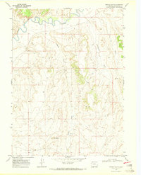
1969 Map of Bighole Butte
USGS Topo · Published 1972About this map
The Little Snake River winds across the northern reaches of this Colorado landscape, carving a distinctive path through the high desert of Moffat County. At the center of the terrain is Bighole Butte, a prominent landmark that defines the local topography. This late-1960s survey illustrates a region shaped by natural drainage patterns, with several significant draws such as Bighole Gulch, Scandinavian Gulch, and Dry Gulch cutting through the elevated plateau. A solitary Drill Hole and a remote Spring indicate the sparse human activity and resource exploration present during this era. The map provides a precise record of the winding riverbanks and the complex network of ridges that separate these arid gulches.
Find a feature on this map
7 named features on this map. Tap any name to fly to it.
Don’t see what you’re looking for? This feature index may not catch every label — zoom into the map to look around manually.
Map Details
Editions of this 1969 Bighole Butte Map
2 editions found
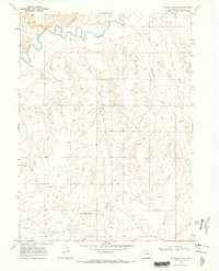
Other maps of this area

1916 · Craig
USGS Topo · 1:125,000

1954 · Vernal
USGS Topo · 1:250,000

1954 · Rawlins
USGS Topo · 1:250,000

1954 · Rock Springs
USGS Topo · 1:250,000

1954 · Craig
USGS Topo · 1:250,000

1957 · Craig
USGS Topo · 1:250,000

1958 · Rawlins
USGS Topo · 1:250,000

1958 · Vernal
USGS Topo · 1:250,000

1958 · Rock Springs
USGS Topo · 1:250,000

1958 · Craig
USGS Topo · 1:250,000