2000s (21st Century) Maps of Moffat County, Colorado
Explore 590 historic maps of Moffat County from the 2000s (21st Century). These maps offer a rare glimpse into what life looked like during the 2000s — showing old roads, neighborhoods, homes, and landmarks that have changed or disappeared over time.
Whether you're researching your family's past, planning a metal detecting trip, or studying how Moffat County's landscape evolved across the 2000s, these high-resolution maps are a powerful tool for exploring the history of this region.
- Focus on a specific era: All maps on this page are from the 2000s, giving you a focused view of this time period.
- See what’s changed: Compare century-old streets, trails, and buildings to today's modern landscape using overlays and satellite layers.
- Research with precision: Use these maps for genealogy, historical research, land use analysis, or educational projects.
- View, download, or print: Maps are fully viewable online in high resolution, and can be downloaded or printed for your own records.
Start exploring Moffat County's history through authentic maps from the 2000s. This is your window into the past.
Moffat County, CO maps
(590)- 2000 Map of Pagoda
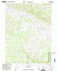 2000 Pagoda2000 Print · USGSThe Williams Fork valley and its surrounding high-country forests are captured here at the turn of the millennium. Local researchers can trace old mining and water history through features like the Cedar Creek Mine, the Pagoda settlement, and Sullivan Reservoir.
 - 2000 Map of Mc Inturf Mesa, 2004 Print
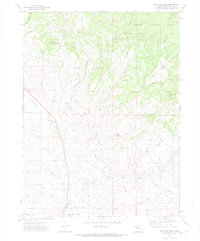 2000 Mc Inturf Mesa2004 Print · USGSHigh mesa country and timberlands in the early 1970s reveal a landscape of mountain mining and high-country ranching. Trace old extraction sites like the Seymour Mine and Bridges Mine or the remote trails surrounding Pinnacle Mountain.
 - 2000 Map of Slide Mountain, 2004 Print
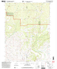 2000 Slide Mountain2004 Print · USGSHigh-country ranching and forest lands meet at the Moffat and Routt county line in the years following the millennium. Genealogists and historians can trace water rights and high-altitude access through landmarks like Anderson Reservoir, Tipton Ditch, and the historic Bears Ears Trail.
 - 2000 Map of Slide Creek, 2004 Print
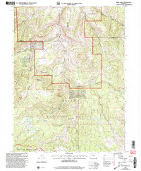 2000 Slide Creek2004 Print · USGSThe high country of the White River and Routt National Forests is captured here at the turn of the millennium. Researchers can trace the drainage of the Williams Fork or locate landmarks like Big Sugarloaf Mountain, Berry Lake, and the Indian Run State Wildlife Area.
 - 2000 Map of Freeman Reservoir, 2004 Print
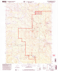 2000 Freeman Reservoir2004 Print · USGSThe Elkhead Mountains of northern Colorado are mapped here at the turn of the twenty-first century as part of the Routt National Forest. Researchers can trace the high-country landscape around Freeman Reservoir, the historic Bears Ears Trail, and peaks like Mount Welba.
 - 2000 Map of Buck Point, 2004 Print
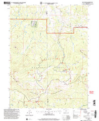 2000 Buck Point2004 Print · USGSThe high Elkhead Mountains and Routt National Forest appear here as they were managed at the end of the century. Trace the old pathways of the Bears Ears Trail 1144 and locate backcountry landmarks like the Lost Park Guard Sta.
 - 2010 Map of Poison Basin, 2010 Print
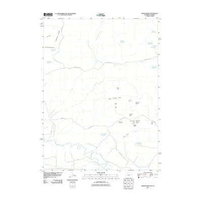 2010 Poison Basin2010 Print · USGSThe Wyoming-Colorado borderlands in Carbon County were a hub of energy and water management at the start of the century. Researchers can trace mineral operations at the Alpha Claim Group Mine and extensive irrigation works like the Gibson Blair Ditch.
 - 2010 Map of Savery, 2010 Print
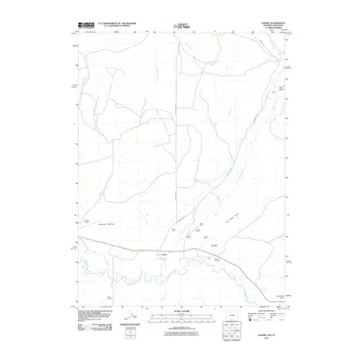 2010 Savery2010 Print · USGSThe Wyoming-Colorado borderlands come into focus in this late 2000s survey of the Savery valley. Researchers can trace local lineage and land use through historical sites like Reader Cemetery and a series of coal operations including the Beeler Mine and Darling Mine.
 - 2010 Map of Dixon, 2010 Print
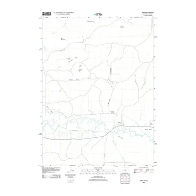 2010 Dixon2010 Print · USGSThe Little Snake River valley near the Wyoming-Colorado border is captured here during a time of continued reliance on historic water rights. Researchers can trace irrigation networks like the West Side Canal and locate the Eversole Cemetery or the Cut-off Gulch Opening Mine.
 - 2010 Map of M F Mountain, 2010 Print
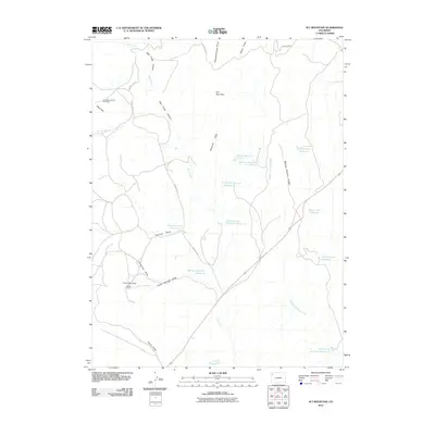 2010 M F Mountain2010 Print · USGSMoffat County's high desert landscape is documented here in the early twenty-first century, showing a world of remote ranching and mineral exploration. Researchers can trace land use through features like Little Star Number One Mine, the Bar 74 Ranch, and Baking Powder Ridge.
 - 2010 Map of Citadel Plateau, 2010 Print
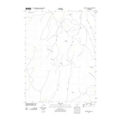 2010 Citadel Plateau2010 Print · USGSMoffat County's high-desert ranching country is captured here during the early 21st century. Land surveyors and local historians can trace legacy holdings like Shelton Ranch and Keystone Ranch alongside landmarks like Steamboat Rock.
 - 2010 Map of Rangely NE, 2010 Print
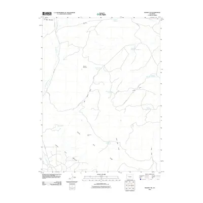 2010 Rangely NE2010 Print · USGSMoffat County's industrial and arid landscape is preserved here as it appeared in the early twenty-first century. Researchers can trace the water and mineral infrastructure that sustains the region, from the Blue Flame Mine to the Raven Basin Reservoir and Scullon Gulch.
 - 2010 Map of Mellen Hill, 2010 Print
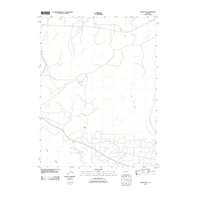 2010 Mellen Hill2010 Print · USGSMoffat County's high-desert landscape is captured here in the decade following the turn of the century. Researchers can trace the ranching and resource roads connecting Mellen Hill, Dripping Rock Reservoir, and the distinctive Coal Oil Gulch.
 - 2010 Map of Wapiti Peak, 2010 Print
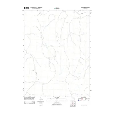 2010 Wapiti Peak2010 Print · USGSMoffat County's high-desert terrain is captured here in the early twenty-first century, showing a remote landscape of prominent ridges and drainages. Researchers can trace land-use patterns across Wapiti Peak, Elk Springs Ridge, and the winding Crooked Wash.
 - 2010 Map of Cedar Knob, 2010 Print
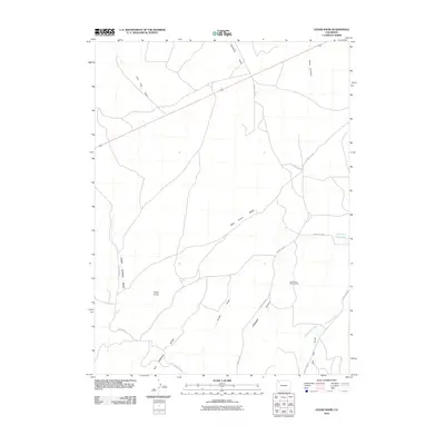 2010 Cedar Knob2010 Print · USGSMoffat County's high desert terrain is documented in the early twenty-first century, showing a landscape defined by ranching and mineral exploration. Researchers can trace land use through the September Morn Claims, Dry Lake Reservoir, and the paths of Wild Horse Ridge.
 - 2010 Map of Indian Valley, 2010 Print
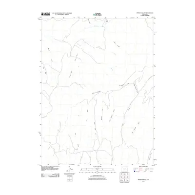 2010 Indian Valley2010 Print · USGSIndian Valley and the high plateaus of Rio Blanco County are shown here at the start of the twenty-first century. Researchers can trace energy industry footprints like an Oil Well or follow the complex terrain of Colorow Mountain and Tschuddi Gulch.
 - 2010 Map of Plug Hat Rock, 2010 Print
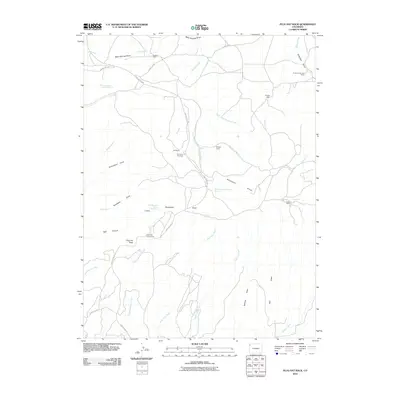 2010 Plug Hat Rock2010 Print · USGSMoffat County is shown here in the early twenty-first century as a land of isolated cabins and high-plateau draws. Local historians can locate specific sites like Haslem Cabin, Fletcher Cabin, and the prominent Plug Hat Rock.
 - 2010 Map of Bald Mountain, 2010 Print
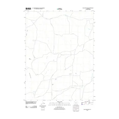 2010 Bald Mountain2010 Print · USGSMoffat County's high-desert terrain is captured here in the early twenty-first century, showing the complex drainage systems and remote road networks of the area. Researchers can trace the paths of Red Wash and Sand Creek, or locate landmarks like Bald Mountain and Cutshaw Spring.
 - 2010 Map of Sheephead Basin, 2010 Print
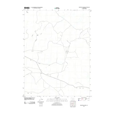 2010 Sheephead Basin2010 Print · USGSMoffat County's high-desert drainage systems are mapped here at the turn of the decade. Researchers can trace the intersections of County Rd 12 with local hydrology such as Boone Draw, Sheephead Basin, and the landmark The Bears Ears.
 - 2010 Map of Lazy Y Point, 2010 Print
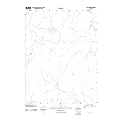 2010 Lazy Y Point2010 Print · USGSMoffat County's high plateaus and drainage basins are captured here at the start of the decade, showing a landscape of seasonal camps and water management. Researchers can trace the routes between Lazy Y Summer Camp, Arapahoe Rock, and the remote Skyline Reservoir Number 2.
 - 2010 Map of G Spring, 2010 Print
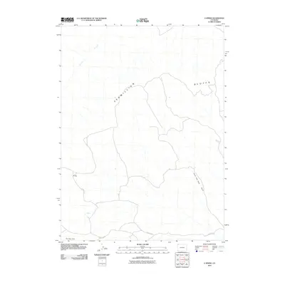 2010 G Spring2010 Print · USGSMoffat County's high-desert plateaus are documented here in the early twenty-first century, showing a remote landscape shaped by wind and water. Researchers can trace the path of County Rd 52 past G Spring and the distinctive landmark of The Bears Ears.
 - 2010 Map of Indian Water Canyon, 2010 Print
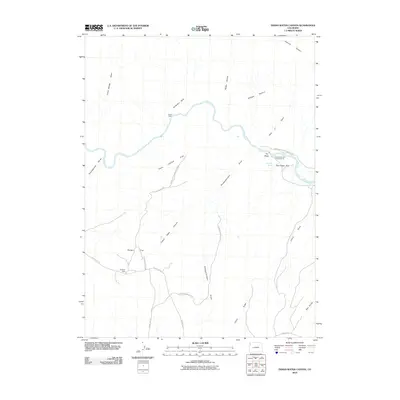 2010 Indian Water Canyon2010 Print · USGSMoffat County's high-country canyons and river bends are captured here as they appeared in 2010, dominated by the winding course of the Yampa River. Researchers can trace the paths of the Old Chuck Wagon Rd and locate remote outposts like Stubs Cabin and Spurgion Cabin.
 - 2010 Map of Lone Mountain, 2010 Print
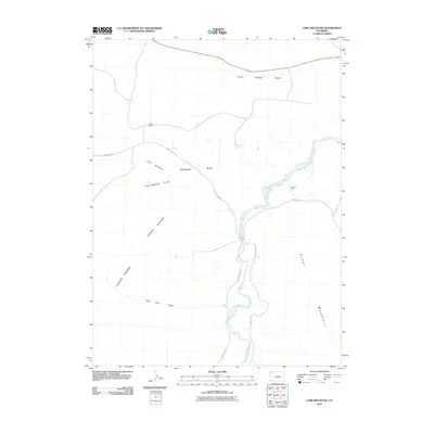 2010 Lone Mountain2010 Print · USGSMoffat County's ranching frontier remains legible in this recent survey of the high-desert landscape near the Wyoming border. Researchers can trace land use through historic sites like Tisdell Ranch and the winding course of the Little Snake River.
 - 2010 Map of Rough Gulch, 2010 Print
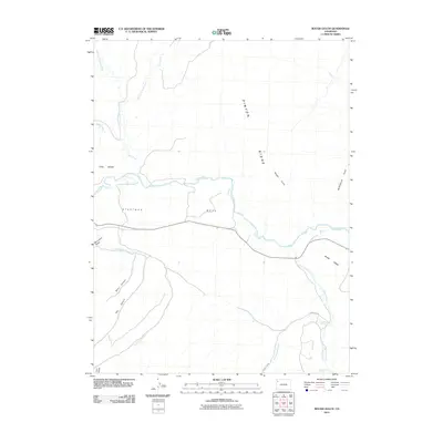 2010 Rough Gulch2010 Print · USGSRio Blanco County in 2010 shows a landscape of expansive plateaus and desert drainages centered on the White River. Researchers can trace the rugged topography of Pinyon Ridge and locate vital water sources like Lambert Spring and Stinking Spring.
 - 2010 Map of Powder Wash, 2010 Print
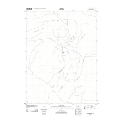 2010 Powder Wash2010 Print · USGSPowder Wash in the early twenty-first century is defined by its network of deep draws and high-desert water sources. Researchers can trace the remote road network and locate specific features like Dans Hole Spring and the curious Ace in the Hole Draw.
Showing maps 1-25 of 590
Top cities of Moffat County
Frequently asked questions
- What are the different types of historical maps available for Moffat County?
- What is the oldest map of Moffat County?
- Where can I purchase historical maps of Moffat County for my home or office?
- Where can I download high-res historical maps of Moffat County?
- Are there historical topographic maps available for Moffat County?
- Is there historical aerial imagery available for Moffat County?
- Where are historical maps of Moffat County sourced from?