2020s Maps of Dixie County, Florida
Explore 50 historic maps of Dixie County from the 2020s. These maps offer a rare glimpse into what life looked like during the 2020s — showing old roads, neighborhoods, homes, and landmarks that have changed or disappeared over time.
Whether you're researching your family's past, planning a metal detecting trip, or studying how Dixie County's landscape evolved across the 2020s, these high-resolution maps are a powerful tool for exploring the history of this region.
- Focus on a specific era: All maps on this page are from the 2020s, giving you a focused view of this time period.
- See what’s changed: Compare century-old streets, trails, and buildings to today's modern landscape using overlays and satellite layers.
- Research with precision: Use these maps for genealogy, historical research, land use analysis, or educational projects.
- View, download, or print: Maps are fully viewable online in high resolution, and can be downloaded or printed for your own records.
Start exploring Dixie County's history through authentic maps from the 2020s. This is your window into the past.
Dixie County, FL maps
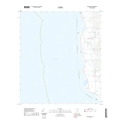
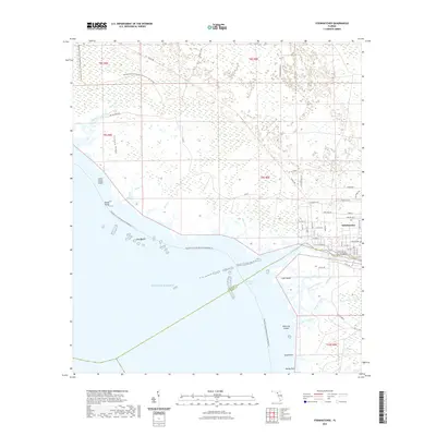
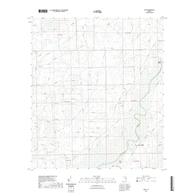
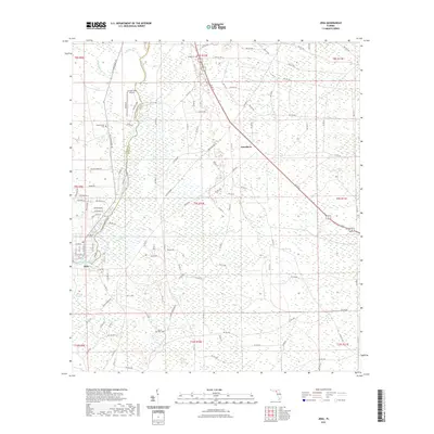
(50)- 2021 Map of Eugene, 2021 Print
 2021 Eugene2021 Print · USGSCovers Dixie County, including Cross City, Eugene, and other nearby areas
 - 2021 Map of Steinhatchee SW, 2021 Print
 2021 Steinhatchee SW2021 Print · USGSCovers Dixie County, including United States, Florida, and other nearby areas
 - 2021 Map of Clara, 2021 Print
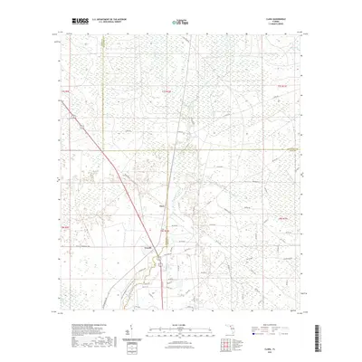 2021 Clara2021 Print · USGSCovers Dixie County, including Clara, Taylor County, and other nearby areas
 - 2021 Map of Cross City SW, 2021 Print
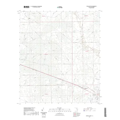
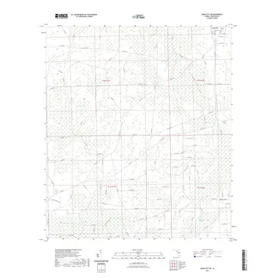 2021 Cross City SW2021 Print · USGSCovers Dixie County, including Cross City, United States, and other nearby areas
 - 2021 Map of Steinhatchee, 2021 Print
 2021 Steinhatchee2021 Print · USGSCovers Dixie County, including Dallus Creek Landing, Steinhatchee, and other nearby areas
 - 2021 Map of Vista, 2021 Print
 2021 Vista2021 Print · USGSCovers Dixie County, including Yellow Jacket, Fowlers Bluff, and other nearby areas
 - 2021 Map of East Pass, 2021 Print
 2021 East Pass2021 Print · USGSCovers Dixie County, including Levy County, United States, and other nearby areas
 - 2021 Map of Cross City West, 2021 Print
 2021 Cross City West2021 Print · USGSCovers Dixie County, including Cross City, Hines, and other nearby areas
 - 2021 Map of Steinhatchee SE, 2021 Print
 2021 Steinhatchee SE2021 Print · USGSCovers Dixie County, including Horseshoe, United States, and other nearby areas
 - 2021 Map of Horseshoe Beach, 2021 Print
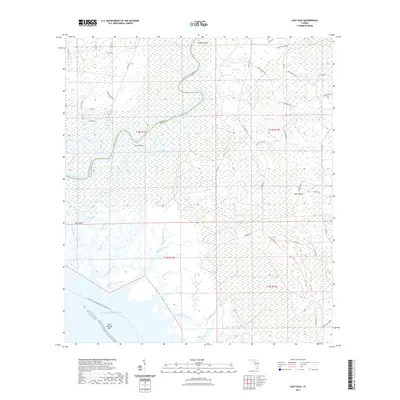
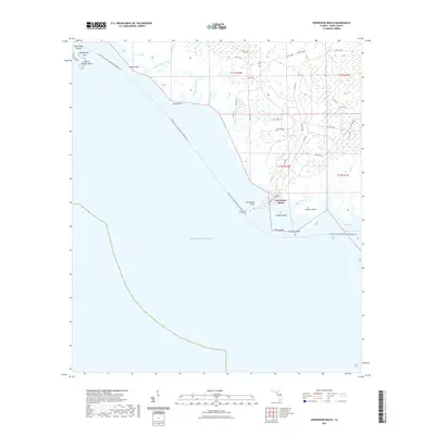 2021 Horseshoe Beach2021 Print · USGSCovers Dixie County, including Horseshoe Beach, United States, and other nearby areas
 - 2021 Map of Jena, 2021 Print
 2021 Jena2021 Print · USGSCovers Dixie County, including Broscan, Jena, and other nearby areas
 - 2021 Map of Shired Island, 2021 Print
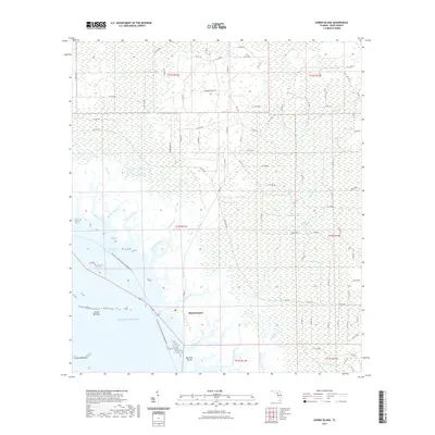 2021 Shired Island2021 Print · USGSCovers Dixie County, including Shired Island, United States, and other nearby areas
 - 2021 Map of Steinhatchee SW OE S, 2021 Print
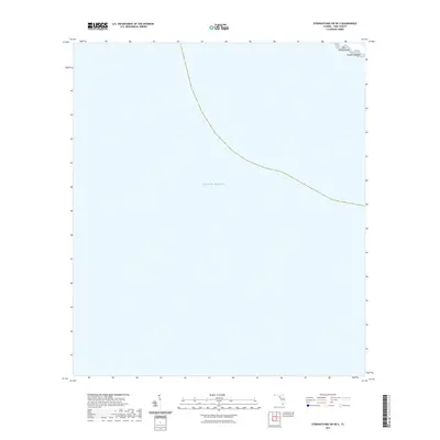 2021 Steinhatchee SW OE S2021 Print · USGSCovers Dixie County, including United States, Florida, and other nearby areas
 - 2021 Map of Manatee Springs, 2021 Print
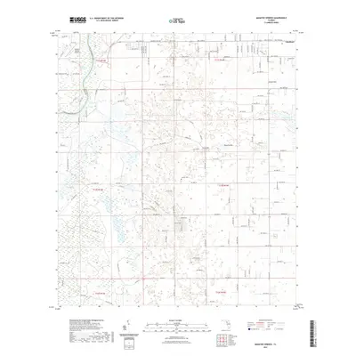 2021 Manatee Springs2021 Print · USGSCovers Dixie County, including Chiefland, Levy County, and other nearby areas
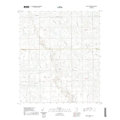
 - 2021 Map of Mallory Swamp SE, 2021 Print
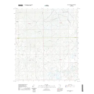 2021 Mallory Swamp SE2021 Print · USGSCovers Dixie County, including Lafayette County, United States, and other nearby areas
 - 2021 Map of Wannee, 2021 Print
 2021 Wannee2021 Print · USGSCovers Dixie County, including Blitchville, Curtis, and other nearby areas
 - 2021 Map of Suwannee, 2021 Print
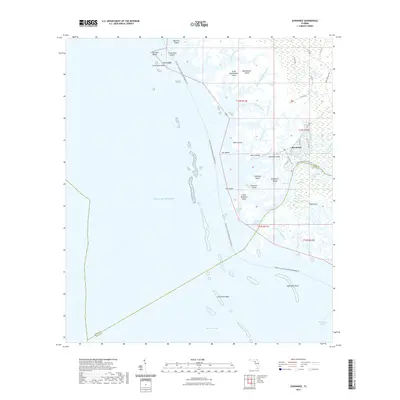 2021 Suwannee2021 Print · USGSCovers Dixie County, including Suwannee, Levy County, and other nearby areas
 - 2021 Map of Cross City East, 2021 Print
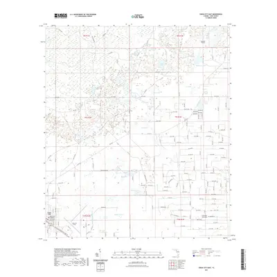 2021 Cross City East2021 Print · USGSCovers Dixie County, including Cross City, United States, and other nearby areas
 - 2021 Map of Mallory Swamp SW, 2021 Print
 2021 Mallory Swamp SW2021 Print · USGSCovers Dixie County, including Lafayette County, United States, and other nearby areas
 - 2021 Map of Hatchbend, 2021 Print
 2021 Hatchbend2021 Print · USGSCovers Dixie County, including Little Lake City, Hatchbend, and other nearby areas
 - 2021 Map of Fanning Springs, 2021 Print
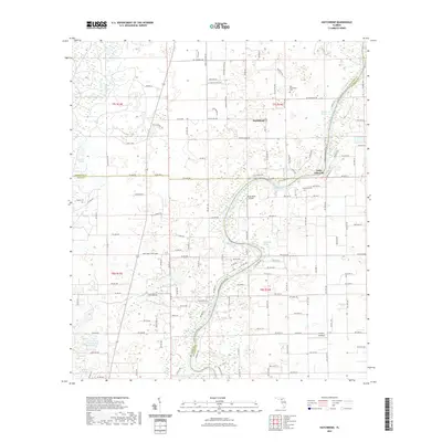
 2021 Fanning Springs2021 Print · USGSCovers Dixie County, including Chiefland, Fanning Springs, and other nearby areas
 - 2024 Map of Clara, 2024 Print
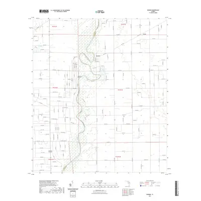
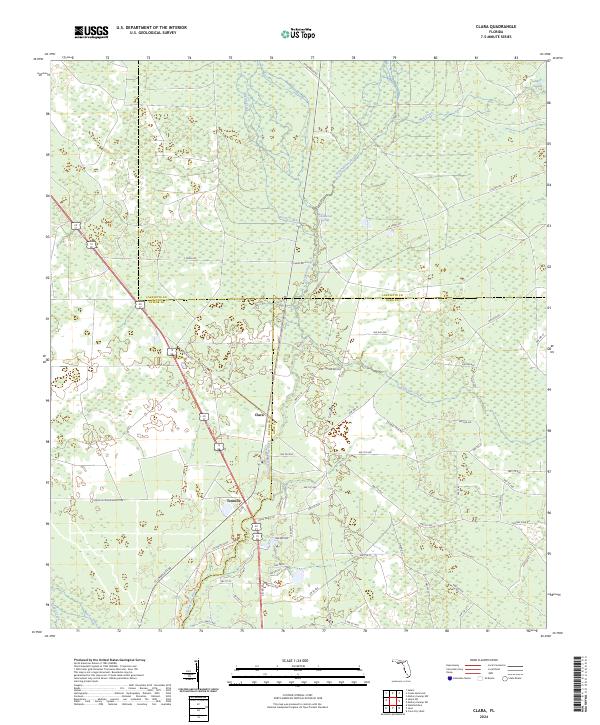 2024 Clara2024 Print · USGSThe tri-county border area of Taylor, Dixie, and Lafayette Counties comes into focus in this contemporary survey of Florida's river country. Trace local landmarks like Clara, Tennille, and the winding Steinhatchee River alongside Iron Spring.
 - 2024 Map of Fanning Springs, 2024 Print
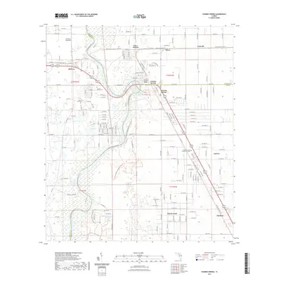
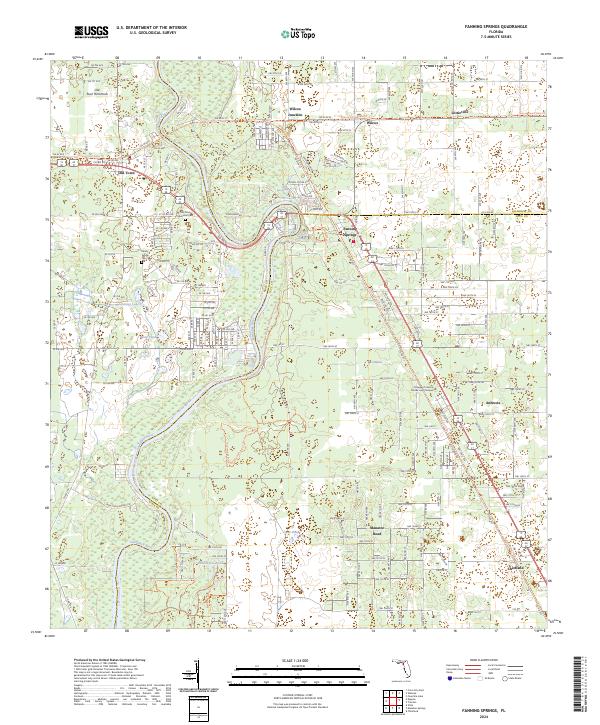 2024 Fanning Springs2024 Print · USGSThe Suwannee River corridor comes into sharp focus during the 2020s, showing the intersection of Dixie, Gilchrist, and Levy counties. Researchers can trace local history through the Old Town Memorial Cem or locate former rail-stops like Wilcox Junction and Lottieville.
 - 2024 Map of Cross City SW, 2024 Print
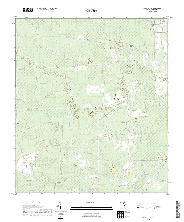 2024 Cross City SW2024 Print · USGSThe wetlands of Dixie County are documented here in the early twenty-first century, showing the intersection of Florida's timberlands and rural ranching life. Researchers can locate Sandhill Cem and trace the drainage patterns of Pumpkin Swamp and Fishbone Creek.
 - 2024 Map of Hatchbend, 2024 Print
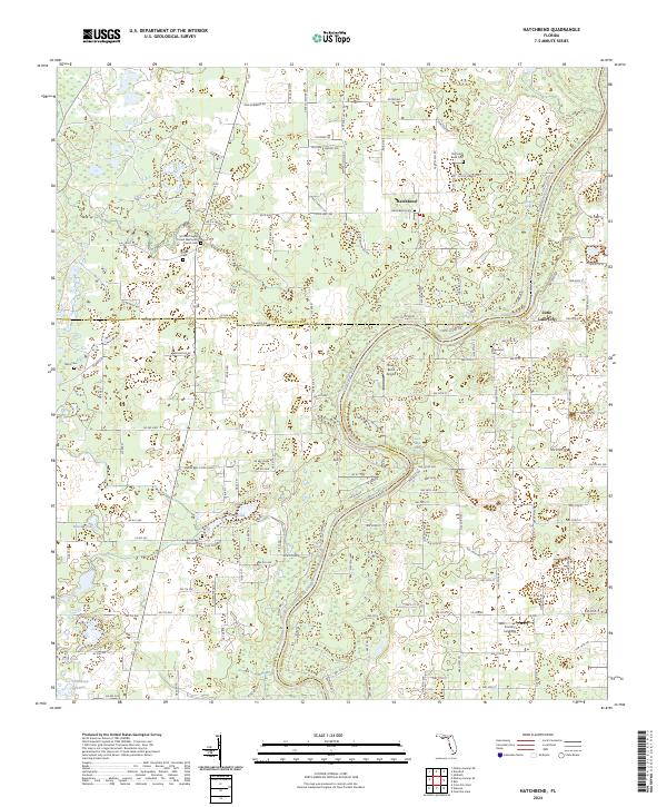 2024 Hatchbend2024 Print · USGSThe Suwannee River borderlands of Lafayette and Gilchrist counties are captured here in the contemporary era. Genealogists and local historians can locate numerous rural burial sites and springs, including Old Hatch Bend Cem, Townsend Cem, and Rock Bluff Spring.
Showing maps 1-25 of 50
Top cities of Dixie County
Frequently asked questions
- What are the different types of historical maps available for Dixie County?
- What is the oldest map of Dixie County?
- Where can I purchase historical maps of Dixie County for my home or office?
- Where can I download high-res historical maps of Dixie County?
- Are there historical topographic maps available for Dixie County?
- Is there historical aerial imagery available for Dixie County?
- Where are historical maps of Dixie County sourced from?