2000s (21st Century) Maps of Escambia County, Florida
Explore 138 historic maps of Escambia County from the 2000s (21st Century). These maps offer a rare glimpse into what life looked like during the 2000s — showing old roads, neighborhoods, homes, and landmarks that have changed or disappeared over time.
Whether you're researching your family's past, planning a metal detecting trip, or studying how Escambia County's landscape evolved across the 2000s, these high-resolution maps are a powerful tool for exploring the history of this region.
- Focus on a specific era: All maps on this page are from the 2000s, giving you a focused view of this time period.
- See what’s changed: Compare century-old streets, trails, and buildings to today's modern landscape using overlays and satellite layers.
- Research with precision: Use these maps for genealogy, historical research, land use analysis, or educational projects.
- View, download, or print: Maps are fully viewable online in high resolution, and can be downloaded or printed for your own records.
Start exploring Escambia County's history through authentic maps from the 2000s. This is your window into the past.
Escambia County, FL maps
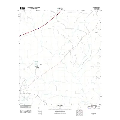
(138)- 2003 Map of Dyas
 2003 Dyas2003 Print · USGSThe Alabama and Florida borderlands come to life in this early 2000s survey, showing the rural communities and timberlands of Baldwin and Escambia Counties. Genealogists and local historians can trace family roots through landmarks like New Providence Church and Perdido Cemetery or locate the small settlements of Dyas and Phillipsville.
 - 2011 Map of Gateswood, 2011 Print
 2011 Gateswood2011 Print · USGSCovers Escambia County, including Gateswood, Baldwin County, and other nearby areas
 - 2011 Map of Dogwood Creek, 2011 Print
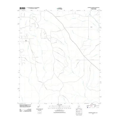 2011 Dogwood Creek2011 Print · USGSCovers Escambia County, including Bay Minette, Pine Grove, and other nearby areas
 - 2011 Map of Seminole, 2011 Print
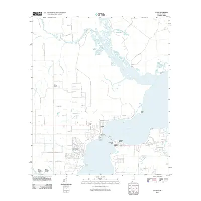
 2011 Seminole2011 Print · USGSCovers Escambia County, including Seminole, Beulah, and other nearby areas
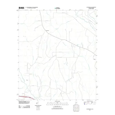
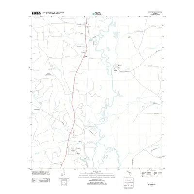
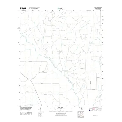
 - 2011 Map of Dyas, 2011 Print
 2011 Dyas2011 Print · USGSCovers Escambia County, including Bay Minette, Dyas, and other nearby areas
 - 2011 Map of Orange Beach, 2011 Print
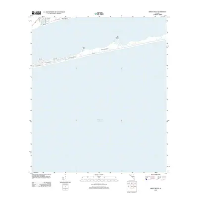
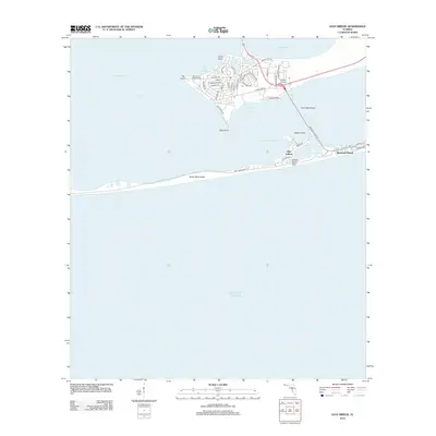
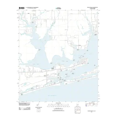 2011 Orange Beach2011 Print · USGSCovers Escambia County, including Foley, Gulf Shores, and other nearby areas
 - 2011 Map of Lillian, 2011 Print
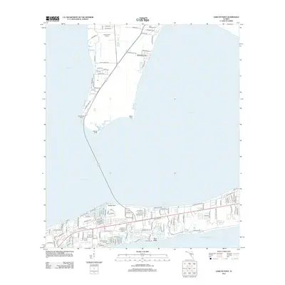
 2011 Lillian2011 Print · USGSCovers Escambia County, including Lillian, Paradise Beach, and other nearby areas
 - 2012 Map of South of Holley, 2012 Print
 2012 South of Holley2012 Print · USGSCovers Escambia County, including Santa Rosa County, United States, and other nearby areas
 - 2012 Map of Bay Springs, 2012 Print
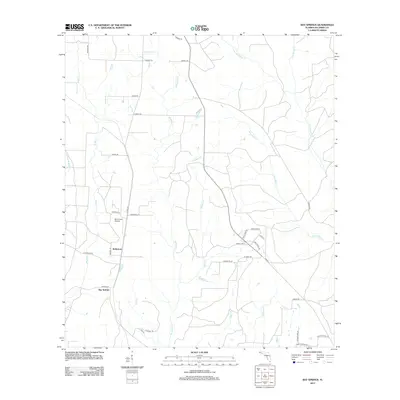 2012 Bay Springs2012 Print · USGSCovers Escambia County, including Bay Springs, McKinnon, and other nearby areas
 - 2012 Map of Holley, 2012 Print
 2012 Holley2012 Print · USGSCovers Escambia County, including Harper, Muddy Ford, and other nearby areas
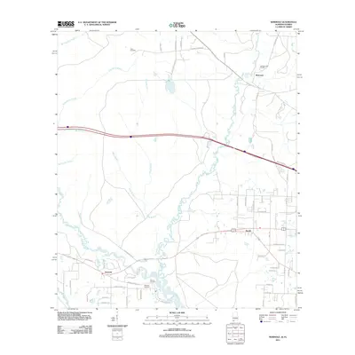
 - 2012 Map of Century, 2012 Print
 2012 Century2012 Print · USGSCovers Escambia County, including Century, Flomaton, and other nearby areas
 - 2012 Map of Pensacola, 2012 Print
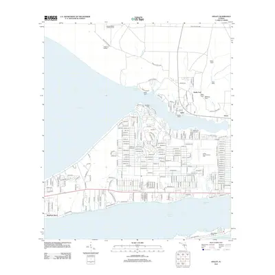
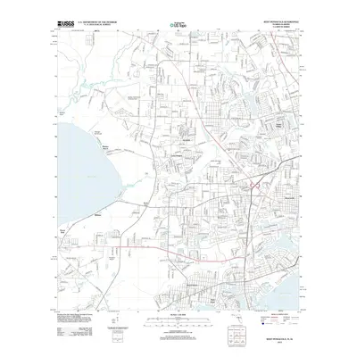
 2012 Pensacola2012 Print · USGSCovers Escambia County, including Pensacola, Goulding, and other nearby areas
 - 2012 Map of Walnut Hill, 2012 Print
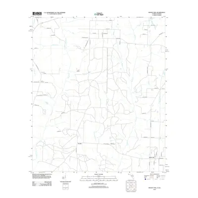 2012 Walnut Hill2012 Print · USGSCovers Escambia County, including Atmore, Walnut Hill, and other nearby areas
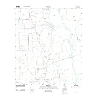
 - 2012 Map of McDavid, 2012 Print
 2012 McDavid2012 Print · USGSCovers Escambia County, including McDavid, Chumuckla Springs, and other nearby areas
 - 2012 Map of West Pensacola, 2012 Print
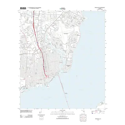
 2012 West Pensacola2012 Print · USGSCovers Escambia County, including Pensacola, Cerny Heights, and other nearby areas
 - 2012 Map of Bratt, 2012 Print
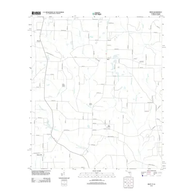 2012 Bratt2012 Print · USGSCovers Escambia County, including Atmore, Bratt, and other nearby areas
 - 2012 Map of Molino, 2012 Print
 2012 Molino2012 Print · USGSCovers Escambia County, including Molino, Brickton, and other nearby areas
 - 2012 Map of Oriole Beach, 2012 Print
 2012 Oriole Beach2012 Print · USGSCovers Escambia County, including Oriole Beach, Gulf Breeze, and other nearby areas
 - 2012 Map of Garcon Point, 2012 Print
 2012 Garcon Point2012 Print · USGSCovers Escambia County, including Tiger Point, Gulf Breeze, and other nearby areas
 - 2012 Map of Pace, 2012 Print
 2012 Pace2012 Print · USGSCovers Escambia County, including Pensacola, Riverview, and other nearby areas
 - 2012 Map of Gulf Breeze, 2012 Print
 2012 Gulf Breeze2012 Print · USGSCovers Escambia County, including Villa Sabine, Gulf Breeze, and other nearby areas
 - 2012 Map of Fort Barrancas, 2012 Print
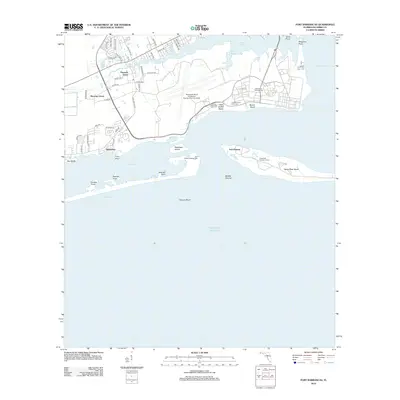 2012 Fort Barrancas2012 Print · USGSCovers Escambia County, including Sherman Grove, Pleasant Grove, and other nearby areas
 - 2012 Map of Perdido Bay, 2012 Print
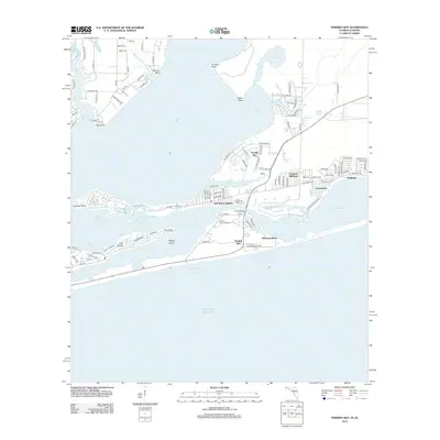 2012 Perdido Bay2012 Print · USGSCovers Escambia County, including Perdido Beach, Chanticleer, and other nearby areas
 - 2012 Map of Enon, 2012 Print
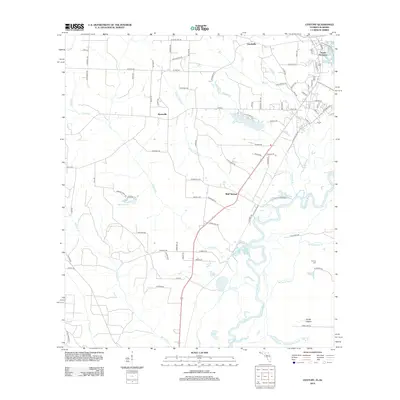
 2012 Enon2012 Print · USGSCovers Escambia County, including Enon, Baldwin County, and other nearby areas
 - 2012 Map of Cantonment, 2012 Print
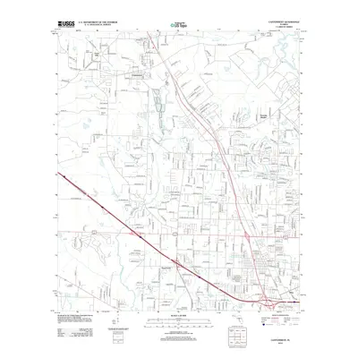 2012 Cantonment2012 Print · USGSCovers Escambia County, including Ensley, Olive, and other nearby areas
Showing maps 1-25 of 138
Top cities of Escambia County
- Pensacola historical maps
- Ensley historical maps
- Century historical maps
- McDavid historical maps
- Molino historical maps
Frequently asked questions
- What are the different types of historical maps available for Escambia County?
- What is the oldest map of Escambia County?
- Where can I purchase historical maps of Escambia County for my home or office?
- Where can I download high-res historical maps of Escambia County?
- Are there historical topographic maps available for Escambia County?
- Is there historical aerial imagery available for Escambia County?
- Where are historical maps of Escambia County sourced from?