2020s Maps of Escambia County, Florida
Explore 59 historic maps of Escambia County from the 2020s. These maps offer a rare glimpse into what life looked like during the 2020s — showing old roads, neighborhoods, homes, and landmarks that have changed or disappeared over time.
Whether you're researching your family's past, planning a metal detecting trip, or studying how Escambia County's landscape evolved across the 2020s, these high-resolution maps are a powerful tool for exploring the history of this region.
- Focus on a specific era: All maps on this page are from the 2020s, giving you a focused view of this time period.
- See what’s changed: Compare century-old streets, trails, and buildings to today's modern landscape using overlays and satellite layers.
- Research with precision: Use these maps for genealogy, historical research, land use analysis, or educational projects.
- View, download, or print: Maps are fully viewable online in high resolution, and can be downloaded or printed for your own records.
Start exploring Escambia County's history through authentic maps from the 2020s. This is your window into the past.
Escambia County, FL maps
(59)- 2020 Map of Gateswood, 2020 Print
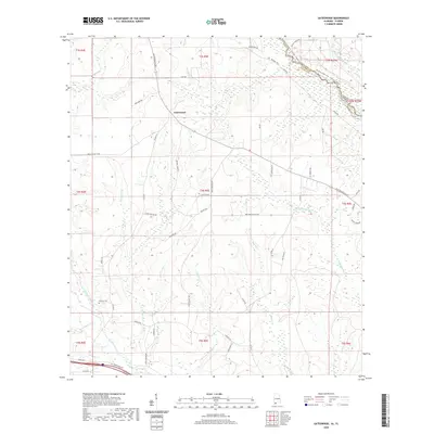 2020 Gateswood2020 Print · USGSThe Alabama-Florida borderlands come into focus in this contemporary survey of the region surrounding Gateswood. Genealogists and local historians can trace family-named routes and landmarks like Pittman Cem, the Old Pensacola Rd, and the winding Perdido River.
 - 2020 Map of Lillian, 2020 Print
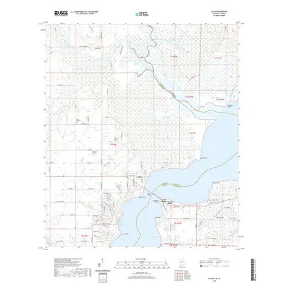 2020 Lillian2020 Print · USGSThe borderlands of Alabama and Florida come to life in this survey of Perdido Bay and its surrounding wetlands. Genealogists and local historians can trace family locations near Lillian, the Gilley Memorial Cem, and along the Perdido River.
 - 2020 Map of Seminole, 2020 Print
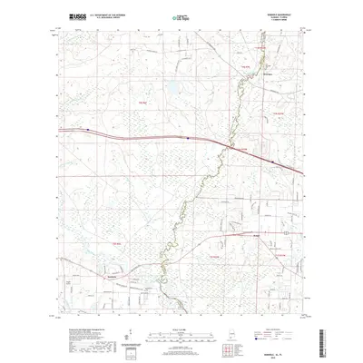 2020 Seminole2020 Print · USGSThe Alabama-Florida borderlands come into focus in this recent study of the river country between Seminole and Beulah. Genealogists and local historians can trace family ties at the Old Muscogee Cem and Mitchell Cem along the Perdido River.
 - 2020 Map of Dyas, 2020 Print
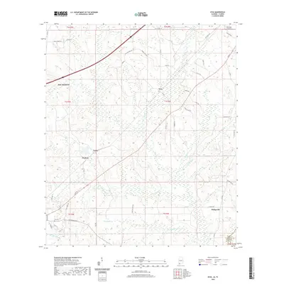 2020 Dyas2020 Print · USGSCoastal Alabama settlements and rural road networks are documented here in the early twenty-first century. Genealogists and local historians can trace old homesteads and family names along Old Pensacola Road or locate the Perdido Baptist Church and Cain Cemetery.
 - 2020 Map of Dogwood Creek, 2020 Print
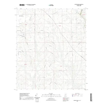 2020 Dogwood Creek2020 Print · USGSCoastal Alabama and the Florida borderlands meet along the Perdido River in this recent look at Baldwin County. Researchers can trace family names through landmarks like Pine Grove Cem, High Pine Cem, and Vickery Ln.
 - 2021 Map of Enon, 2021 Print
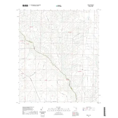 2021 Enon2021 Print · USGSThe Florida-Alabama state line is defined by the winding Perdido River in this recent survey. Local historians can trace family roots and old routes through Enon, Holly Grove Cem, and historical paths like Old Pensacola Rd.
 - 2021 Map of Garcon Point, 2021 Print
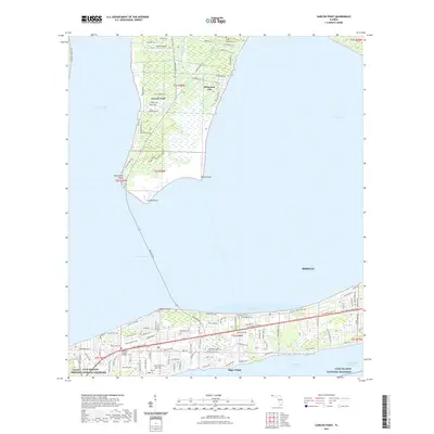 2021 Garcon Point2021 Print · USGSCoastal Santa Rosa County is captured here in the early twenty-first century as suburban growth meets the protected shores of the Panhandle. Genealogists and locals can trace family sites at Black Hammock Cem or explore the development around Dickerson City and Tiger Point.
 - 2021 Map of Fort Barrancas, 2021 Print
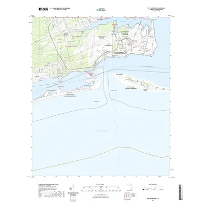 2021 Fort Barrancas2021 Print · USGSCoastal Escambia County is shown here in the modern era, centering on the massive aviation and naval footprint at the mouth of the bay. Researchers can trace the grounds of Barrancas National Cemetery or locate Fort Pickens and the Chasefield Plantation Cem on the barrier sands.
 - 2021 Map of Century, 2021 Print
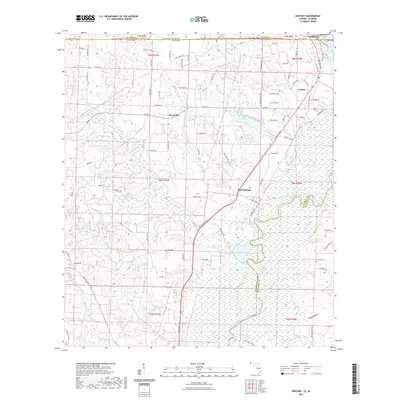 2021 Century2021 Print · USGSThe Florida-Alabama border comes into focus in this recent survey of the Century and Flomaton area. Researchers can trace local heritage through landmarks like Pleasant Hill Ch, Byrneville Sch, and the riverside Cariney Cem.
 - 2021 Map of Barrineau Park, 2021 Print
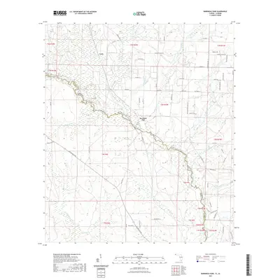 2021 Barrineau Park2021 Print · USGSThe Florida-Alabama borderlands come into focus in this contemporary survey of the winding Perdido River corridor. Genealogists and local historians can trace family-named routes and small settlements like Barrineau Park, Tenile, and Sunny Hill along the rural Escambia County landscape.
 - 2021 Map of Molino, 2021 Print
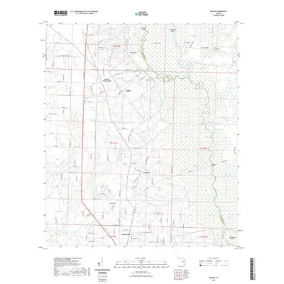 2021 Molino2021 Print · USGSEscambia County's riverfront and upland settlements are documented here in the early twenty-first century. Genealogists and historians can locate rural landmarks like Vaughn Cem and Crabtree Church or trace the winding course of the Escambia River.
 - 2021 Map of Bay Springs, 2021 Print
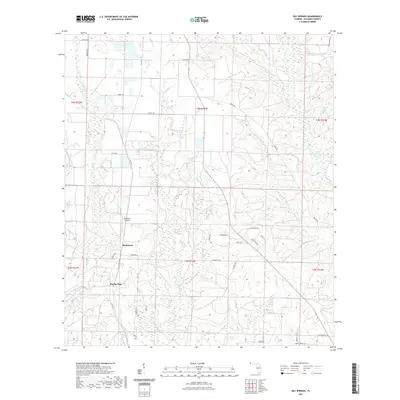 2021 Bay Springs2021 Print · USGSFlorida's northern Escambia County is shown here in the early 2020s, dominated by a rural landscape of creek-fed bottomlands. You can trace the local road network through Bay Springs and McKinnon, or follow the banks of McDavid Cr and Blue Water Cr.
 - 2021 Map of Cantonment, 2021 Print
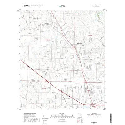 2021 Cantonment2021 Print · USGSEscambia County's northern suburbs come into focus in the early 2020s, showing the settled residential patterns between Cantonment and Ensley. Researchers can trace local lineage through several sites like Santa Marie Cem and Mission Cem or follow the waters of Elevenmile Creek.
 - 2021 Map of Oriole Beach, 2021 Print
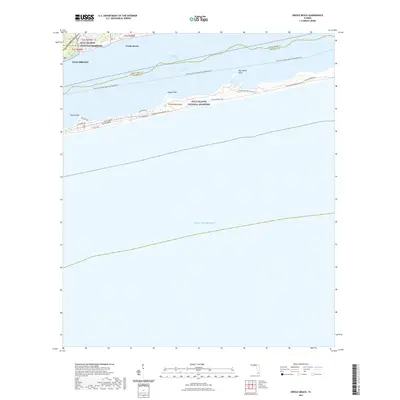 2021 Oriole Beach2021 Print · USGSSanta Rosa County's barrier islands and sounds are captured here in the early twenty-first century as the region manages its coastal growth and conservation. Trace the intricate shoreline from Sharp Point to Big Sabine Point or follow the trails through the Gulf Islands National Seashore.
 - 2021 Map of Jay, 2021 Print
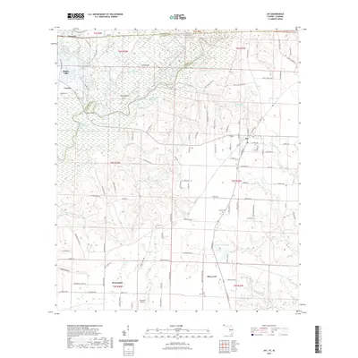 2021 Jay2021 Print · USGSThe borderlands of Florida and Alabama come into focus here, where the Escambia River and Big Escambia Creek meet. Local historians can trace old family sites and burial grounds like Cora Cem and Concord Cem alongside landmarks like Freedom Bridge.
 - 2021 Map of Gulf Breeze, 2021 Print
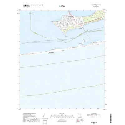 2021 Gulf Breeze2021 Print · USGSCoastal Florida is mapped here in the early 2020s, showing the residential peninsula of Gulf Breeze and the barrier dunes of Santa Rosa Island. Researchers can trace local landmarks like Duncan Cem and explore the bounds of the Gulf Islands National Seashore.
 - 2021 Map of McDavid, 2021 Print
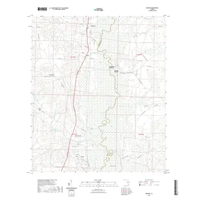 2021 McDavid2021 Print · USGSThe northern Florida panhandle at the start of the 2020s shows a landscape shaped by the Escambia River and the legacy of the L & N RR. Genealogists and researchers can trace rural settlements at McDavid and Barth or locate family sites like Coon Hill Cemetery.
 - 2021 Map of Walnut Hill, 2021 Print
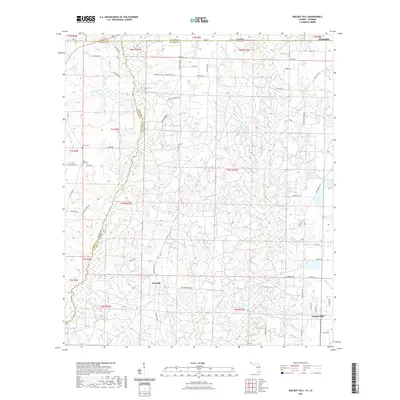 2021 Walnut Hill2021 Print · USGSThe Alabama-Florida borderlands come into focus in this recent survey, centered on the rural communities of Walnut Hill and Pineville. Genealogists can trace family heritage through local landmarks like Halls Fork Cem and the waters of Hubbard Creek.
 - 2021 Map of Perdido Bay, 2021 Print
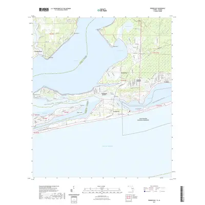 2021 Perdido Bay2021 Print · USGSPerdido Bay and the barrier islands of Alabama and Florida are mapped here in the early twenty-first century. Genealogists and historians can trace coastal development through Perdido Beach and Gulf Beach Heights, or explore the protected shores of Perdido Key.
 - 2021 Map of Bratt, 2021 Print
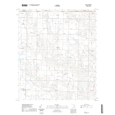 2021 Bratt2021 Print · USGSSettled along the Florida-Alabama border in the modern era, this area reveals a landscape of small communities and rural industry. Genealogists and locals can trace the roads and waterways around Walnut Hill, Oak Grove, and the specialized Mike's Ag Air Airport.
 - 2021 Map of South of Holley, 2021 Print
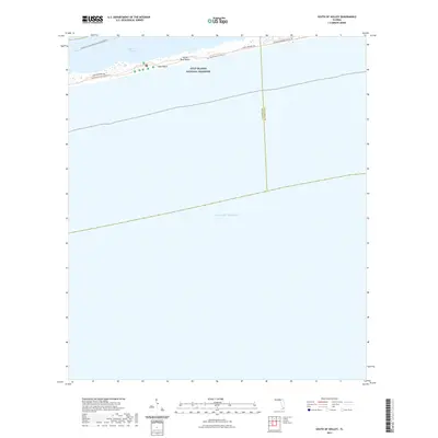 2021 South of Holley2021 Print · USGSThe Florida coast near the Escambia and Santa Rosa county line is captured here in its modern preserved state. You can trace the path of the Florida National Scenic Trl and J Earle Bowden Way as they cross Opal Beach.
 - 2021 Map of Holley, 2021 Print
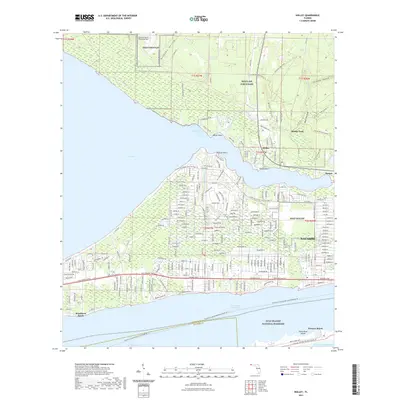 2021 Holley2021 Print · USGSNavarre and Holley are shown during their twenty-first-century expansion between the sound and the vast reservation of Eglin Air Force Base. Researchers can trace the development of coastal neighborhoods and military facilities like Nolf Holley and Nolf Choctaw.
 - 2021 Map of Orange Beach, 2021 Print
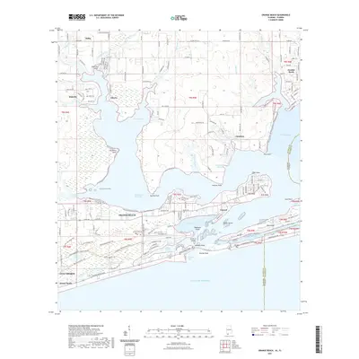 2021 Orange Beach2021 Print · USGSThe Alabama coast and the Florida border come together in this recent survey of the region's shifting shorelines and expanding resorts. Trace the complex water networks between Orange Beach and Perdido Bay, featuring Ono Island and Robinson Island.
 - 2021 Map of Pace, 2021 Print
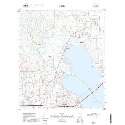 2021 Pace2021 Print · USGSThe Escambia River basin and the growing suburbs of Pensacola are captured here in the early twenty-first century. Genealogists and local historians can trace the development of Ferry Pass and Floridatown, or locate landmarks like Whitmire Cem and the University of West Florida.
 - 2021 Map of West Pensacola, 2021 Print
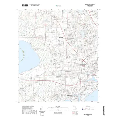 2021 West Pensacola2021 Print · USGSThe western suburbs of Pensacola and the winding reaches of Bayou Marcus are shown here in the early 2020s. Map collectors and researchers can trace the growth of Myrtle Grove, locate Ferguson Airport, or explore the shoreline from Navy Point to Millview.
Showing maps 1-25 of 59
Top cities of Escambia County
- Pensacola historical maps
- Ensley historical maps
- Century historical maps
- McDavid historical maps
- Molino historical maps
Frequently asked questions
- What are the different types of historical maps available for Escambia County?
- What is the oldest map of Escambia County?
- Where can I purchase historical maps of Escambia County for my home or office?
- Where can I download high-res historical maps of Escambia County?
- Are there historical topographic maps available for Escambia County?
- Is there historical aerial imagery available for Escambia County?
- Where are historical maps of Escambia County sourced from?