2000s (21st Century) Maps of Franklin County, Florida
Explore 143 historic maps of Franklin County from the 2000s (21st Century). These maps offer a rare glimpse into what life looked like during the 2000s — showing old roads, neighborhoods, homes, and landmarks that have changed or disappeared over time.
Whether you're researching your family's past, planning a metal detecting trip, or studying how Franklin County's landscape evolved across the 2000s, these high-resolution maps are a powerful tool for exploring the history of this region.
- Focus on a specific era: All maps on this page are from the 2000s, giving you a focused view of this time period.
- See what’s changed: Compare century-old streets, trails, and buildings to today's modern landscape using overlays and satellite layers.
- Research with precision: Use these maps for genealogy, historical research, land use analysis, or educational projects.
- View, download, or print: Maps are fully viewable online in high resolution, and can be downloaded or printed for your own records.
Start exploring Franklin County's history through authentic maps from the 2000s. This is your window into the past.
Franklin County, FL maps
(143)- 2012 Map of Green Point, 2012 Print
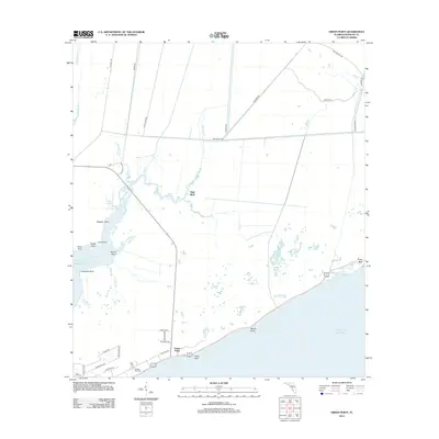 2012 Green Point2012 Print · USGSThe Franklin County coast comes into focus during the early twenty-first century, showing a transition from the tidal marshes of the Gulf of Mexico to inland forest. You can trace local family history and coastal landmarks from the Porters Bar Cemetery to High Bluff and Cash Bayou.
 - 2012 Map of Fort Gadsden, 2012 Print
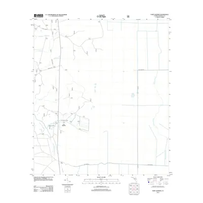 2012 Fort Gadsden2012 Print · USGSFranklin County's river-rich landscape is captured here in the early twenty-first century, centered on the historic site of Fort Gadsden. Researchers can trace the water-based geography of the region via Missouri Landing and Whiskey George Cr.
 - 2012 Map of Dog Island, 2012 Print
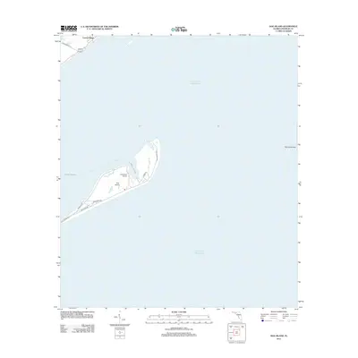 2012 Dog Island2012 Print · USGSCoastal Florida in the early 2010s is captured here, focusing on the isolated barrier landscape of Dog Island. Researchers can trace the layout of island roads like Gulf Shore Ave or locate the Dog Island Airport and the mainland Lanark Village.
 - 2012 Map of New Inlet, 2012 Print
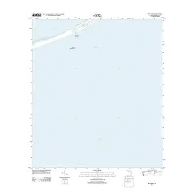 2012 New Inlet2012 Print · USGSThe Florida panhandle coast in the early 2010s reveals the shifting sands of the barrier islands near the Apalachicola Bay. You can trace the maritime passage of Government Cut and locate the Saint George Island West Jetty Light 1 at the island's western tip.
 - 2012 Map of Pickett Bay, 2012 Print
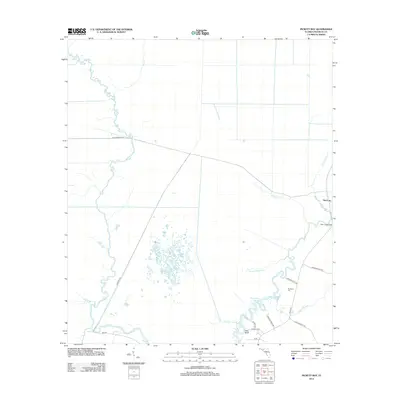 2012 Pickett Bay2012 Print · USGSThe Florida Panhandle river country is captured here in the early twenty-first century, showing the intricate waterways near the Gulf coast. Researchers can trace the winding Crooked River and locate small settlements like Harbeson City and Pine Log.
 - 2012 Map of Sugar Hill, 2012 Print
 2012 Sugar Hill2012 Print · USGSThe Florida Panhandle coast near the turn of the last decade shows a narrow strip of coastal settlement where the land meets the sea. Genealogists and local historians can trace the shoreline of Sugar Hill and the protected waters around Marsh Island and Pilot Harbor.
 - 2012 Map of Carrabelle, 2012 Print
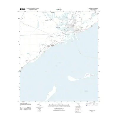 2012 Carrabelle2012 Print · USGSCoastal Franklin County comes into focus in the early 2010s, revealing the intricate water networks where the river meets the sound. Trace maritime history along the shore at the Crooked River Lighthouse, Carrabelle Beach, and the settlement of Yent Place.
 - 2012 Map of McIntyre, 2012 Print
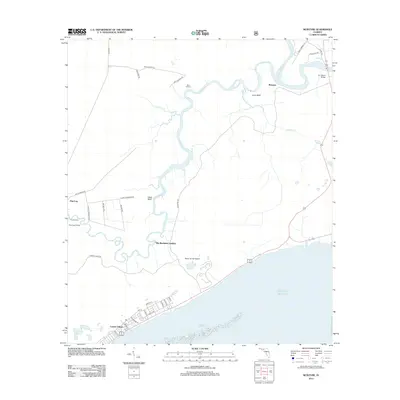 2012 McIntyre2012 Print · USGSThe Florida coast meets the river swamps of Franklin County in this early 21st-century survey. Genealogists and historians can trace old river crossings and landings, from the Pinelog Ferry to Big Blackjack Landing and the streets of Lanark Village.
 - 2012 Map of Apalachicola, 2012 Print
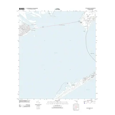 2012 Apalachicola2012 Print · USGSCoastal Franklin County comes into focus in the early 2010s, centered on the strategic crossing of the John Gorrie Memorial Bridge. You can trace the shorelines of East Point and the development on Saint George Island, including the local airport.
 - 2012 Map of Saint Teresa, 2012 Print
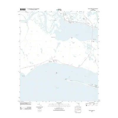 2012 Saint Teresa2012 Print · USGSThe Florida Panhandle coast is defined by its winding river mouths and protected harbors in the early 2010s. Trace the waterfront development at Saint Teresa and Wilson Beach, or locate landmarks like Wakulla County Airport and Walker Bridge.
 - 2012 Map of Beverly, 2012 Print
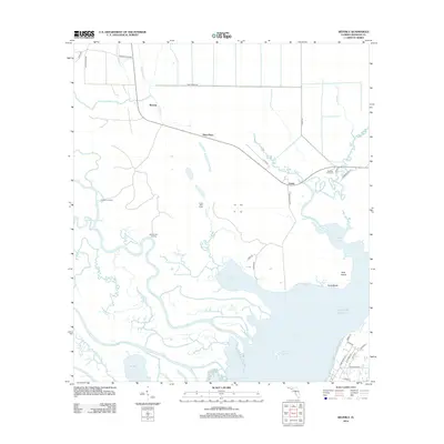 2012 Beverly2012 Print · USGSThe coastal marshlands and timber tracts of Franklin County are shown here in the early twenty-first century as the landscape meets the Gulf. Researchers can trace local landmarks like the East Bay Fire Tower, Gardner Landing, and the settlement of Beverly.
 - 2012 Map of Lighthouse Point, 2012 Print
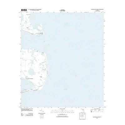 2012 Lighthouse Point2012 Print · USGSCoastal Florida in the early 2010s reveals a unique blend of commercial fishing heritage and modern shoreline living. Trace the transition from the Ochlockonee Fishery to residential communities like Southern Dunes and Sun N Sand Beaches.
 - 2012 Map of Goose Island, 2012 Print
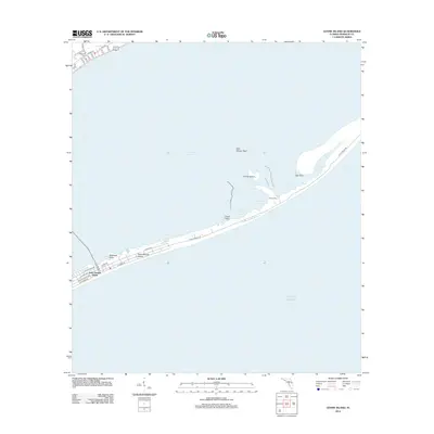 2012 Goose Island2012 Print · USGSSaint George Island and the mainland coast of Franklin County are shown here in the early twenty-first century. Researchers can trace local landmarks like Old Landing, the residential grid of Eastpoint, and the geography of Rattlesnake Cove and Gap Point.
 - 2012 Map of Tates Hell Swamp, 2012 Print
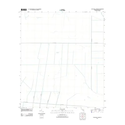 2012 Tates Hell Swamp2012 Print · USGSFlorida's coastal timberlands are documented here just over a decade ago, showing the industrial road grid laid over the wetland interior. Researchers can trace the drainage of Big Slough Branch and the routes of Jet Engine Rd and Buck Siding Rd.
 - 2012 Map of Cape Saint George, 2012 Print
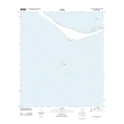 2012 Cape Saint George2012 Print · USGSThe barrier island system of Franklin County is documented here during the early twenty-first century, highlighting critical maritime navigation points. Researchers can trace coastal changes near the Cape Saint George Light House, West Pass, and Horseshoe Cove.
 - 2012 Map of West Pass, 2012 Print
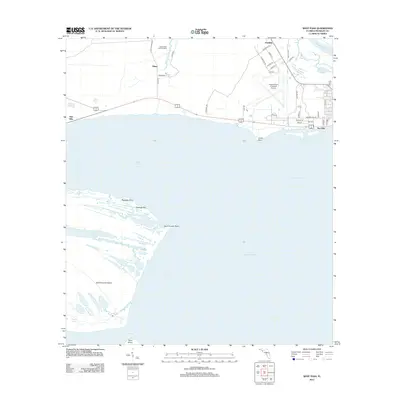 2012 West Pass2012 Print · USGSThe Franklin County coast and Saint Vincent Island are shown here in the early twenty-first century, just as the regional landscape was being documented with modern precision. Researchers can trace landforms like Cabbage Top or locate coastal access points such as Eagles Nest Boat Landing and Green Point.
 - 2012 Map of Indian Pass, 2012 Print
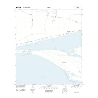 2012 Indian Pass2012 Print · USGSThe Florida Panhandle coast near Odena is captured here during the early twenty-first century, showcasing the delicate balance of lagoon and sound. Genealogists and historians can trace coastal settlements like Eleven Mile and landmarks such as the Odena Fire Tower.
 - 2012 Map of Lake Wimico, 2012 Print
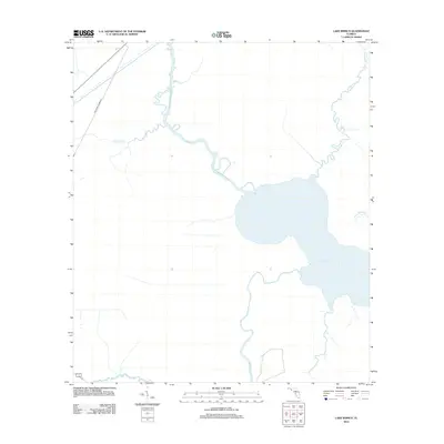 2012 Lake Wimico2012 Print · USGSGulf County's watery landscape is captured in this 2012 survey, where the great expanse of the coast meets complex inland waterways. Researchers can trace the legacy of regional transport via the Old Niles Tramroad and the winding course of Depot Cr and Searcy Cr.
 - 2012 Map of Forbes Island, 2012 Print
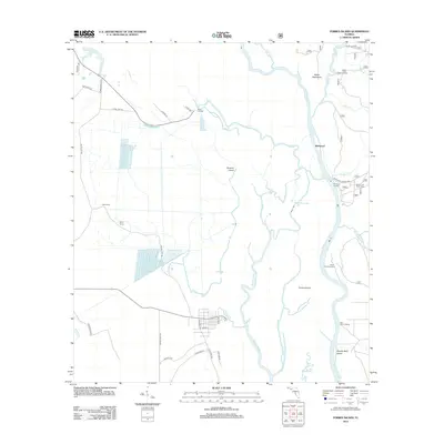 2012 Forbes Island2012 Print · USGSThe Apalachicola River basin in the early 2010s shows a complex web of waterways and isolated islands. You can trace the river's impact on local life through sites like the Brown and Smith Cem and various historic river access points such as Brickyard and Hickory Landing.
 - 2012 Map of Jackson River, 2012 Print
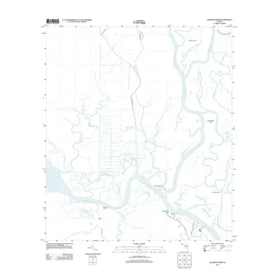 2012 Jackson River2012 Print · USGSThe Florida Panhandle river delta is shown here in the early twenty-first century, where the Apalachicola and Jackson Rivers weave through marsh and cypress. Local historians can trace the remote waterfronts of Bay City and Huckleberry Landing or locate landmarks like Old Womans Bluff.
 - 2012 Map of Sumatra, 2012 Print
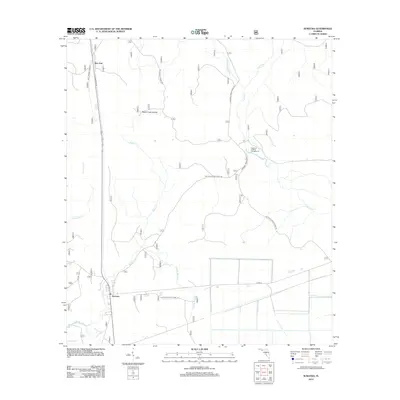 2012 Sumatra2012 Print · USGSLiberty County's forested interior is captured here in the early twenty-first century, showing a landscape defined by timber management and the Apalachicola forest. Trace the remote settlements of Sumatra and Bon Ami or locate seasonal sites like Magnolia Landing Campground and Wright Lake.
 - 2012 Map of Sanborn, 2012 Print
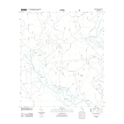 2012 Sanborn2012 Print · USGSThe Florida Panhandle lowlands come alive in this study of the river-braided forests near the Sopchoppy. Researchers can trace family history at the Sanborn McKenzie Cem or locate the sites of Sanborn and Curtis Mill along the winding Ochlockonee River.
 - 2012 Map of Thousand Yard Bay, 2012 Print
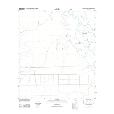 2012 Thousand Yard Bay2012 Print · USGSWakulla County's riverfront and forest lands are documented here in the early twenty-first century, showing the winding path of the Ochlockonee River. Trace the access points and water routes at Mack Landing Campground, Roberts Landing, and Hitchcock Lake.
 - 2012 Map of Owens Bridge, 2012 Print
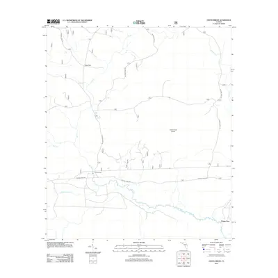 2012 Owens Bridge2012 Print · USGSLiberty County's river bottoms and timberlands are captured here in the early 2010s, showing a landscape defined by water and forest. Researchers can locate remote crossings and family-named spots like Owens Bridge, Twin Pole, and Morgan Place.
 - 2012 Map of Sopchoppy, 2012 Print
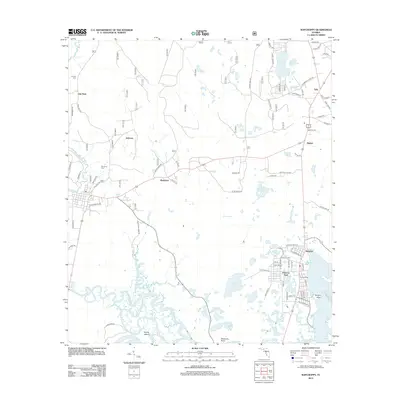 2012 Sopchoppy2012 Print · USGSThe Florida Gulf Coast near Panacea is documented here just after the turn of the millennium, showing a landscape of river confluences and coastal wetlands. Researchers can locate family landmarks like Grimes Cem, the settlement at Rock Landing, and the intricate channels of the Sopchoppy River.
Showing maps 1-25 of 143
Top cities of Franklin County
Frequently asked questions
- What are the different types of historical maps available for Franklin County?
- What is the oldest map of Franklin County?
- Where can I purchase historical maps of Franklin County for my home or office?
- Where can I download high-res historical maps of Franklin County?
- Are there historical topographic maps available for Franklin County?
- Is there historical aerial imagery available for Franklin County?
- Where are historical maps of Franklin County sourced from?