Old Maps of Franklin County, Florida
Explore 77 old maps of Franklin County, spanning from 1940 to today. These high-resolution historic maps reveal how streets, neighborhoods, landmarks, and natural features evolved over time — perfect for genealogy, metal detecting, research, and local history exploration.
What you can do with these maps:
- See how Franklin County changed over time: Compare historical maps to modern-day views to trace roads, homesites, rail lines & more.
- View detailed metadata: Each map includes creators, publishers, year, scale, and archive source.
- Overlay maps with satellite & LiDAR: Visualize the past alongside modern tools to explore terrain & human change.
- Trusted historical sources: Maps sourced from the USGS, Library of Congress, and other archives.
- Access maps your way: View online, download high-res files, or order prints for personal or research use.
Start exploring old maps of Franklin County to uncover forgotten places, hidden landmarks, and the deep history beneath your feet.
Franklin County, FL maps
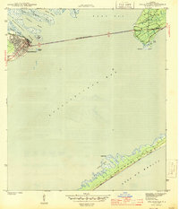
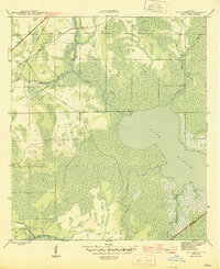
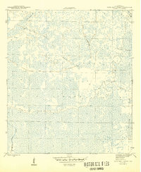
(77)- 1940 Map of Arran, 1966 Print
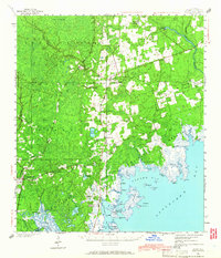 1940 Arran1966 Print · USGSCovers Franklin County, including Crawfordville, Sopchoppy, and other nearby areas
 - 1943 Map of Arran
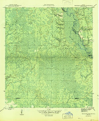
 1943 Arran1943 Print · USGSCovers Franklin County, including Crawfordville, Sopchoppy, and other nearby areas2 unique versions available
 - 1943 Map of Dog Island
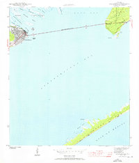
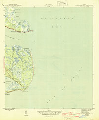
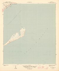 1943 Dog Island1943 Print · USGSCovers Franklin County, including United States, Florida, and other nearby areas5 unique versions available
 - 1943 Map of West Pass
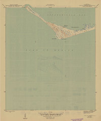
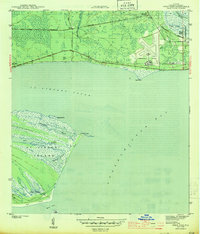 1943 West Pass1943 Print · USGSCovers Franklin County, including Apalachicola, Two Mile, and other nearby areas5 unique versions available
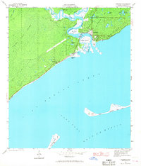
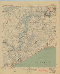
 - 1943 Map of Apalachicola
 1943 Apalachicola1943 Print · USGSCovers Franklin County, including Apalachicola, Magnolia Bluffs, and other nearby areas4 unique versions available
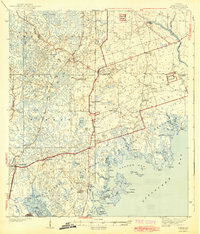
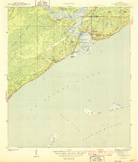
 - 1943 Map of Carrabelle, 1968 Print
 1943 Carrabelle1968 Print · USGSCovers Franklin County, including Carrabelle, Yent Place, and other nearby areas
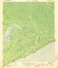
 - 1943 Map of St. Teresa Beach, 1969 Print
 1943 St. Teresa Beach1969 Print · USGSCovers Franklin County, including Surf, Saint Teresa, and other nearby areas
 - 1943 Map of Indian Pass, 1973 Print
 1943 Indian Pass1973 Print · USGSCovers Franklin County, including Odena, Eleven Mile, and other nearby areas
 - 1943 Map of Jackson River, 1975 Print
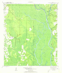
 1943 Jackson River1975 Print · USGSCovers Franklin County, including Bay City, Gulf County, and other nearby areas
 - 1943 Map of Lighthouse Point, 1976 Print
 1943 Lighthouse Point1976 Print · USGSCovers Franklin County, including Sun N Sand Beaches, Wakulla County, and other nearby areas
 - 1944 Map of Pickett Bay
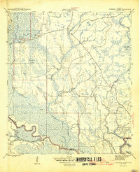
 1944 Pickett Bay1944 Print · USGSCovers Franklin County, including Carrabelle, United States, and other nearby areas
 - 1944 Map of Carrabelle
 1944 Carrabelle1944 Print · USGSCovers Franklin County, including Carrabelle, Yent Place, and other nearby areas4 unique versions available
 - 1944 Map of Green Point
 1944 Green Point1944 Print · USGSCovers Franklin County, including Green Point, United States, and other nearby areas4 unique versions available
 - 1944 Map of Sugar Hill, 1945 Print
 1944 Sugar Hill1945 Print · USGSCovers Franklin County, including United States, Florida, and other nearby areas
 - 1944 Map of Apalachicola, 1960 Print
 1944 Apalachicola1960 Print · USGSCovers Franklin County, including Apalachicola, Magnolia Bluffs, and other nearby areas
 - 1944 Map of Forbes Island, 1960 Print
 1944 Forbes Island1960 Print · USGSCovers Franklin County, including Brickyard, Gulf County, and other nearby areas2 unique versions available
 - 1945 Map of Cape St. George
 1945 Cape St. George1945 Print · USGSCovers Franklin County, including United States, Florida, and other nearby areas3 unique versions available
 - 1945 Map of Forbes Island
 1945 Forbes Island1945 Print · USGSCovers Franklin County, including Brickyard, Gulf County, and other nearby areas3 unique versions available
 - 1945 Map of Lake Wimico
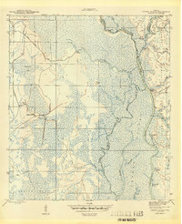
 1945 Lake Wimico1945 Print · USGSCovers Franklin County, including Gulf County, United States, and other nearby areas5 unique versions available
 - 1945 Map of Thousand Yard Bay
 1945 Thousand Yard Bay1945 Print · USGSCovers Franklin County, including Wakulla County, Liberty County, and other nearby areas3 unique versions available
 - 1945 Map of Kennedy Creek
 1945 Kennedy Creek1945 Print · USGSCovers Franklin County, including White Oak Landing, Owl Landing, and other nearby areas4 unique versions available
 - 1945 Map of Lighthouse Point
 1945 Lighthouse Point1945 Print · USGSCovers Franklin County, including Sun N Sand Beaches, Wakulla County, and other nearby areas3 unique versions available
 - 1945 Map of Tates Hell Swamp
 1945 Tates Hell Swamp1945 Print · USGSCovers Franklin County, including United States, Florida, and other nearby areas4 unique versions available
 - 1945 Map of Mc Intyre
 1945 Mc Intyre1945 Print · USGSCovers Franklin County, including Big Blackjack Landing, Lanark Village, and other nearby areas6 unique versions available
 - 1945 Map of Sugar Hill
 1945 Sugar Hill1945 Print · USGSCovers Franklin County, including United States, Florida, and other nearby areas2 unique versions available
Showing maps 1-25 of 77
Top cities of Franklin County
Frequently asked questions
- What are the different types of historical maps available for Franklin County?
- What is the oldest map of Franklin County?
- Where can I purchase historical maps of Franklin County for my home or office?
- Where can I download high-res historical maps of Franklin County?
- Are there historical topographic maps available for Franklin County?
- Is there historical aerial imagery available for Franklin County?
- Where are historical maps of Franklin County sourced from?