2020s Maps of Tallahassee, Florida
Explore 14 historic maps of Tallahassee from the 2020s. These maps offer a rare glimpse into what life looked like during the 2020s — showing old roads, neighborhoods, homes, and landmarks that have changed or disappeared over time.
Whether you're researching your family's past, planning a metal detecting trip, or studying how Tallahassee's landscape evolved across the 2020s, these high-resolution maps are a powerful tool for exploring the history of this region.
- Focus on a specific era: All maps on this page are from the 2020s, giving you a focused view of this time period.
- See what’s changed: Compare century-old streets, trails, and buildings to today's modern landscape using overlays and satellite layers.
- Research with precision: Use these maps for genealogy, historical research, land use analysis, or educational projects.
- View, download, or print: Maps are fully viewable online in high resolution, and can be downloaded or printed for your own records.
Start exploring Tallahassee's history through authentic maps from the 2020s. This is your window into the past.
Tallahassee, FL maps
(14)- 2021 Map of Woodville, 2021 Print
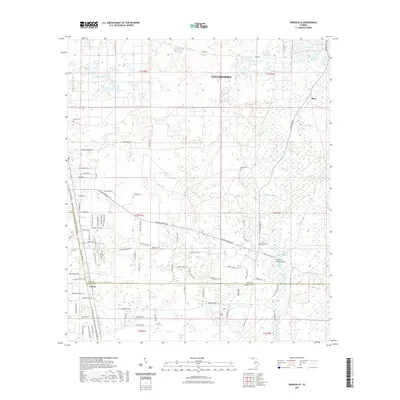 2021 Woodville2021 Print · USGSSouth of Tallahassee in the early 2020s, this landscape shows the unique intersection of rail history and river hydrology. You can trace the Tallahassee Saint Marks Historic Railroad State Trl and find unique landmarks like Natural Bridge Sink and Rhodes Cem.
- 2021 Map of Lake Jackson, 2021 Print
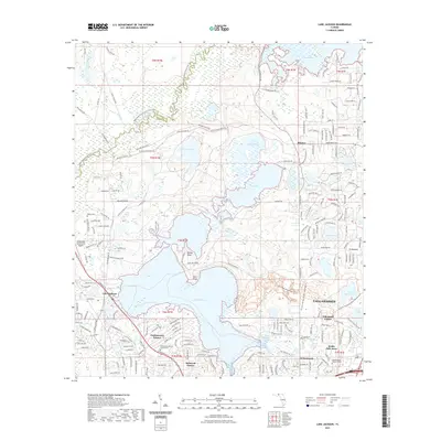 2021 Lake Jackson2021 Print · USGSThe northwestern edge of Tallahassee meets the water in the early 2020s, showcasing a landscape of residential growth and natural preserves. Researchers can trace local development in Harbinwood Estates or locate family sites like Moore Cemetery and Meadowwood Memorial Park.
- 2021 Map of Lafayette, 2021 Print
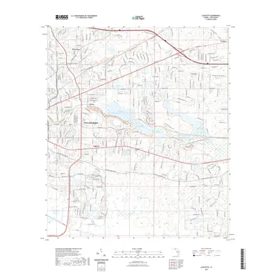 2021 Lafayette2021 Print · USGSTallahassee's eastern corridor and the Lake Lafayette basin are captured here in the early twenty-first century. Researchers can trace local heritage at the Tallahassee National Cem or explore the community footprints of Perkins and Saint Peter.
- 2021 Map of Bradfordville, 2021 Print
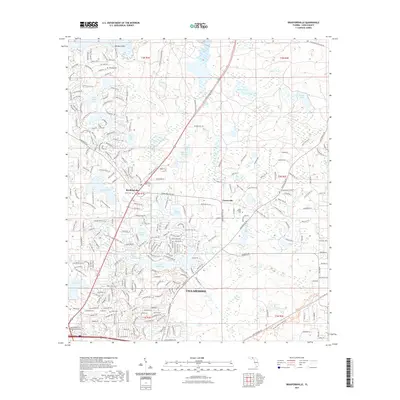 2021 Bradfordville2021 Print · USGSNorthern Leon County near the Georgia border shows a dense network of suburban expansion and lakefront living in the early 2020s. Trace local history through the Bradford-Eppes Cem or explore the recreational Miccosukee Greenway Trl and Barrow Hill Trl.
- 2021 Map of Lake Munson, 2021 Print
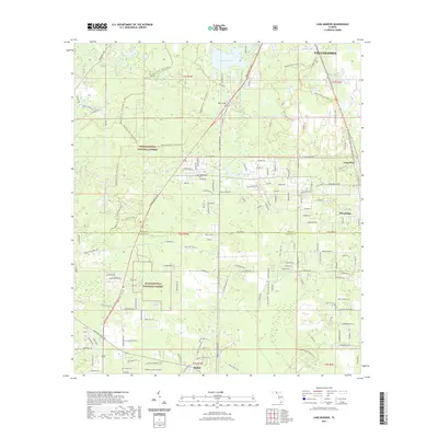 2021 Lake Munson2021 Print · USGSThe southern fringes of Tallahassee meet the pine flatwoods and cypress swamps of the Florida Panhandle in the early twenty-first century. Genealogists and hikers alike can trace the St. Marks Trail past Harvey Cem and the settlement of Woodville.
- 2021 Map of Midway, 2021 Print
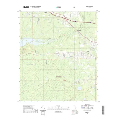 2021 Midway2021 Print · USGSThe western outskirts of Tallahassee meet the Florida panhandle woodlands in this recent survey. Local researchers can trace the developed areas of Midway and Ochlockonee against the vast preserve of the Apalachicola National Forest and Lake Talquin.
- 2021 Map of Tallahassee, 2021 Print
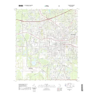 2021 Tallahassee2021 Print · USGSTallahassee at the start of the 2020s shows a sophisticated blend of university life and state governance. Researchers can trace the layout of Florida State University, locate the historic Old City Cem, or follow the Tallahassee - St. Marks Rail Trl south toward the national forest.
- 2024 Map of Tallahassee, 2024 Print
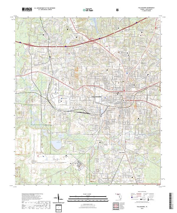 2024 Tallahassee2024 Print · USGSFlorida's capital city is charted in great detail during the early 2020s, showing the intersection of modern university campuses and deep-rooted local history. Researchers can identify numerous family burial grounds like the Johnson Family Cem and follow the Tallahassee St Marks Rail Trl.
- 2024 Map of Lake Jackson, 2024 Print
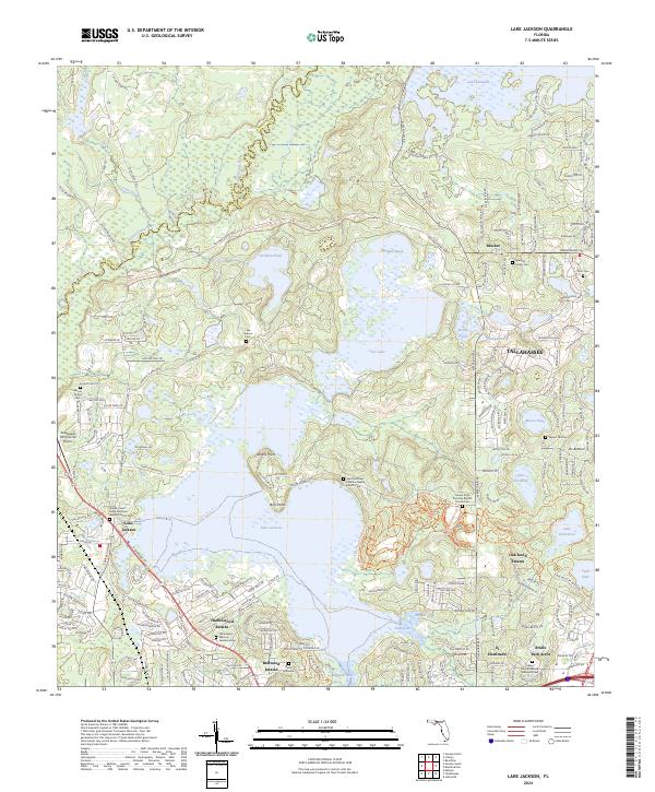 2024 Lake Jackson2024 Print · USGSNorth of Tallahassee in the early 2020s, this area shows a unique blend of lakeside residential growth and preserved historical family sites. Genealogists can trace local roots at the Moore Family Cem, Scott Cem, or the Saint Matthew Primitive Baptist Church Cem near Rollins Point.
- 2024 Map of Bradfordville, 2024 Print
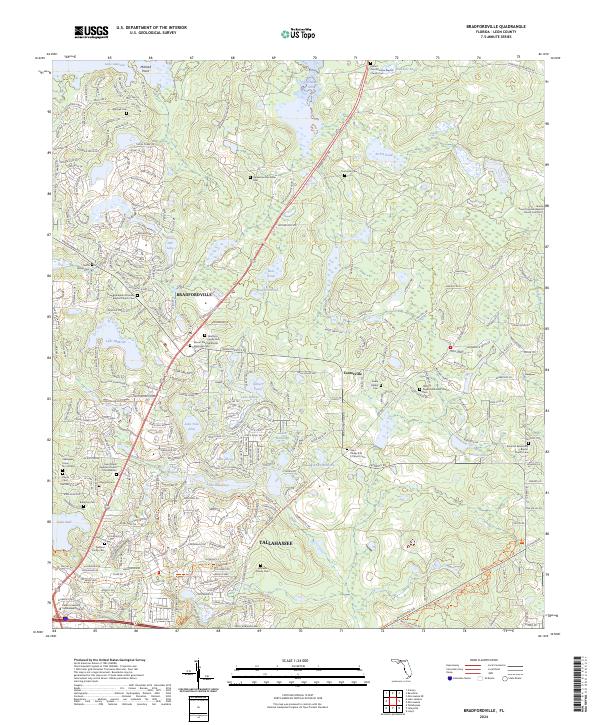 2024 Bradfordville2024 Print · USGSNorth of the Florida state capital in the early 21st century, this area balances modern growth with historic rural roots. Genealogists and historians can locate family-named grounds such as the Eppes Cem and Whitaker Family Cem or trace the lands around Lake McBride.
- 2024 Map of Midway, 2024 Print
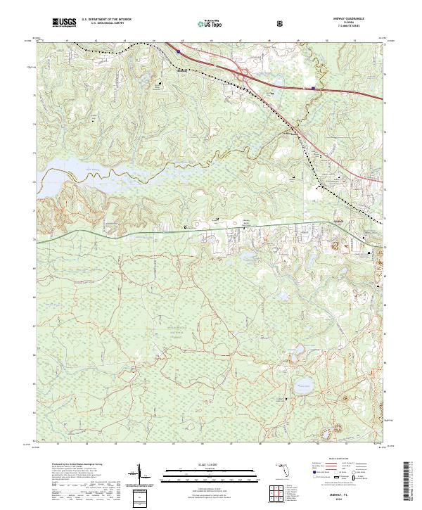 2024 Midway2024 Print · USGSMidway and the Ochlockonee River valley are captured here in the early twenty-first century as the area balances forest conservation and rural growth. Genealogists can locate family-named sites such as Johnson-Moore Cem, Geddie Cem, and the Adam Hunter Gravesite.
- 2024 Map of Woodville, 2024 Print
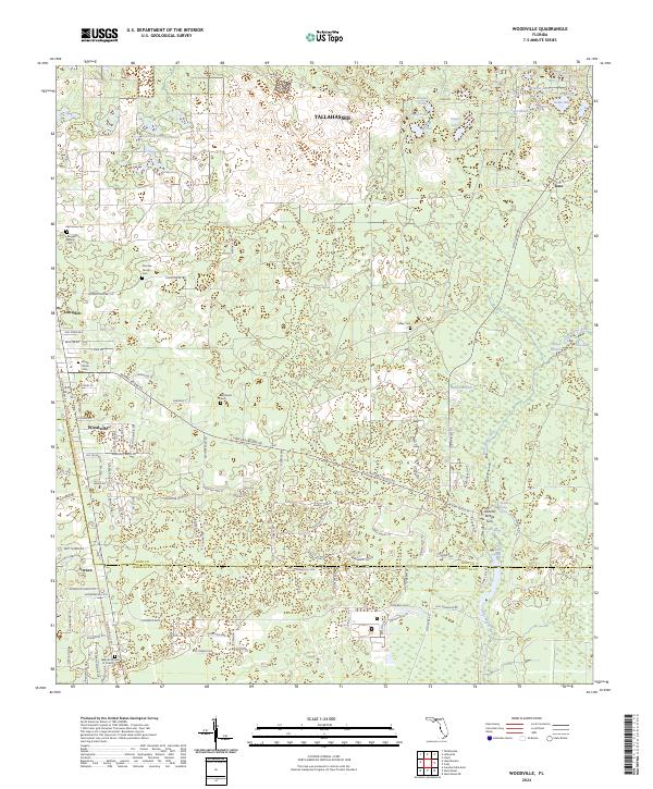 2024 Woodville2024 Print · USGSFlorida's coastal lowlands south of Tallahassee come alive in this survey of the Leon and Wakulla county line. Genealogists and historians can trace family burial grounds like Kelley Cem or follow the route of the Tallahassee Saint Marks Historic Railroad State Trl through Woodville.
- 2024 Map of Lake Munson, 2024 Print
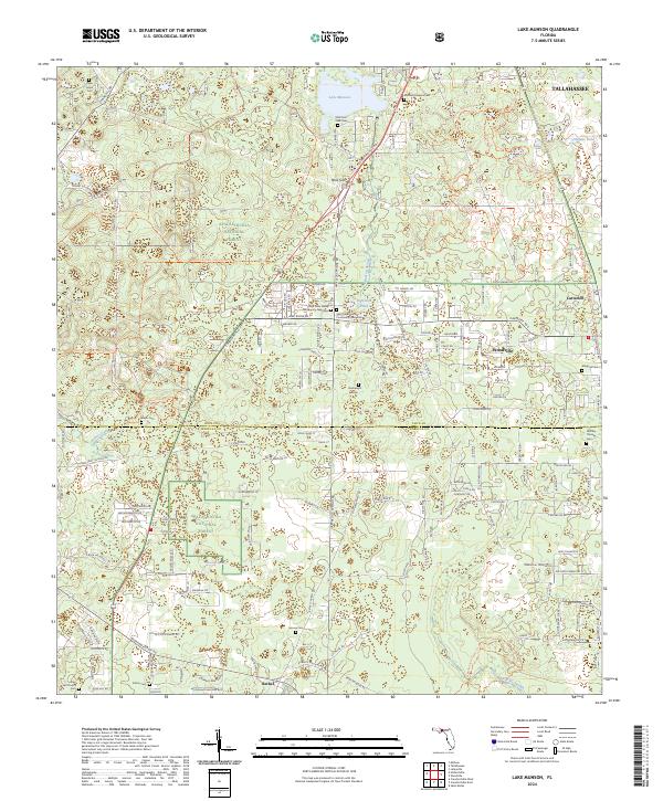 2024 Lake Munson2024 Print · USGSThe outskirts of Tallahassee and the north Florida woodlands come into focus in this contemporary survey. Genealogists can locate numerous small family burial grounds like Boatwright Cem and Harvey Cem, while recreationists can trace the Munson Hills Mtn Bike Tr Trl through the Apalachicola National Forest.
- 2024 Map of Lafayette, 2024 Print
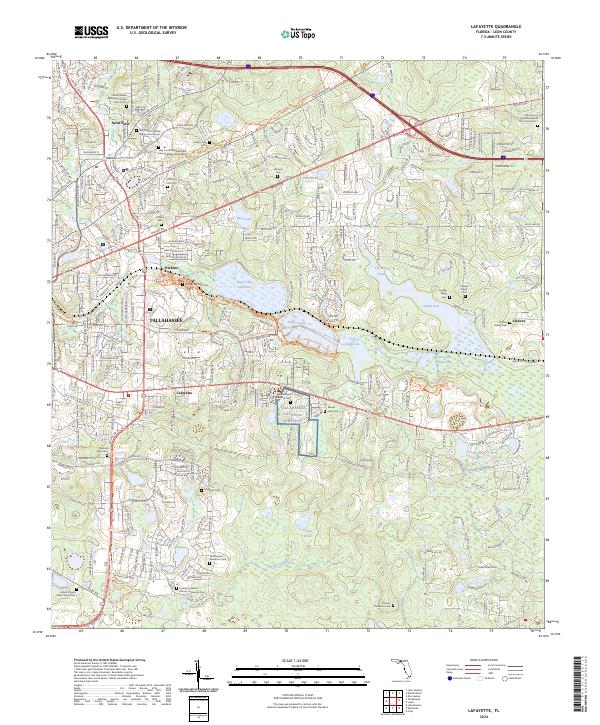 2024 Lafayette2024 Print · USGSLeon County, Florida, is documented here in its contemporary state, showing the blend of suburban expansion and significant heritage sites. Genealogists can locate several family and church burial grounds, such as the Southwood Plantation Cem and Pallbearers Lodge No 25 Cem.
End of results
Showing maps 1-14 of 14
Top cities near Tallahassee
Top neighborhoods of Tallahassee
- Macon historical maps
- Perkins historical maps
- Oak Knoll Estates historical maps
- Saint Peter historical maps
- Lafayette historical maps
- Four Points historical maps
See more
Frequently asked questions
- What are the different types of historical maps available for Tallahassee?
- What is the oldest map of Tallahassee?
- Where can I purchase historical maps of Tallahassee for my home or office?
- Where can I download high-res historical maps of Tallahassee?
- Are there historical topographic maps available for Tallahassee?
- Is there historical aerial imagery available for Tallahassee?
- Where are historical maps of Tallahassee sourced from?