2010s Maps of Fannin County, Georgia
Explore 43 historic maps of Fannin County from the 2010s. These maps offer a rare glimpse into what life looked like during the 2010s — showing old roads, neighborhoods, homes, and landmarks that have changed or disappeared over time.
Whether you're researching your family's past, planning a metal detecting trip, or studying how Fannin County's landscape evolved across the 2010s, these high-resolution maps are a powerful tool for exploring the history of this region.
- Focus on a specific era: All maps on this page are from the 2010s, giving you a focused view of this time period.
- See what’s changed: Compare century-old streets, trails, and buildings to today's modern landscape using overlays and satellite layers.
- Research with precision: Use these maps for genealogy, historical research, land use analysis, or educational projects.
- View, download, or print: Maps are fully viewable online in high resolution, and can be downloaded or printed for your own records.
Start exploring Fannin County's history through authentic maps from the 2010s. This is your window into the past.
Fannin County, GA maps
(43)- 2011 Map of Wilscot, 2011 Print
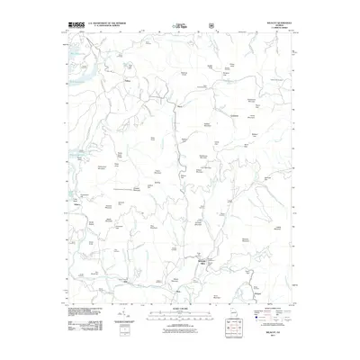 2011 Wilscot2011 Print · USGSThe mountain gaps and river bends of Fannin County are captured here in the early twenty-first century. Genealogists and hikers can locate family landmarks like Van Zandt Cemetery or trace the route to the Brawley Mountain Lookout Tower.
 - 2011 Map of Nottely Dam, 2011 Print
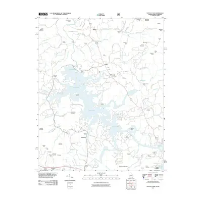 2011 Nottely Dam2011 Print · USGSThe Blue Ridge foothills meet the expansive shoreline of Nottely Lake in this 2011 survey of Union County. Genealogists can locate family landmarks like Bethlehem Cemetery, Tate Mill, and the settlement at Loudermilk Bend.
 - 2011 Map of Hemp Top, 2011 Print
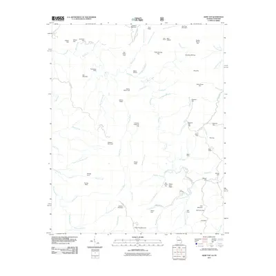 2011 Hemp Top2011 Print · USGSThe Georgia-Tennessee borderlands appear here in the early twenty-first century as a landscape of high ridges and deep river forks. Genealogists and hikers can trace remote landmarks like Jones Cemetery and historical crossings at Indian Grave Gap or Patterson Gap.
 - 2011 Map of Dyer Gap, 2011 Print
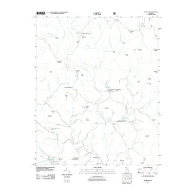 2011 Dyer Gap2011 Print · USGSMountaintown and the high gaps of the Blue Ridge are captured here in the early twenty-first century. Researchers can locate family sites at Mountaintown Cemetery and Dyer Cemetery or trace the drainage of Mountaintown Creek and the Conasauga River.
 - 2011 Map of Nimblewill, 2011 Print
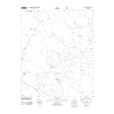 2011 Nimblewill2011 Print · USGSThe foothills of the Blue Ridge come into focus here in the early twenty-first century, showing a landscape of steep gaps and mountain settlements. You can trace the winding paths to High Shoals Cemetery, Amicalola Falls, and the old community of Nimblewill.
 - 2011 Map of Cashes Valley, 2011 Print
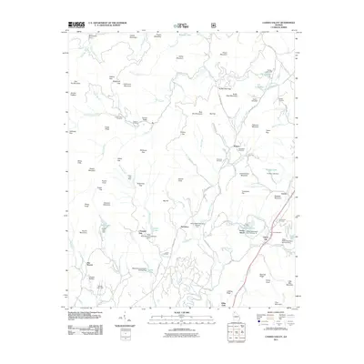 2011 Cashes Valley2011 Print · USGSNorth Georgia mountain communities and high-ridge gaps are recorded here during the early twenty-first century. Genealogists can locate several local burial sites such as Cashes Valley Cemetery and Underwood Cemetery near the historic Cherry Log settlement.
 - 2011 Map of Culberson, 2011 Print
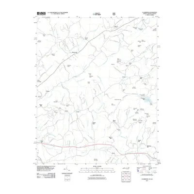 2011 Culberson2011 Print · USGSThe North Carolina-Georgia border region at the turn of the decade shows a landscape of dispersed mountain settlements and historic water-powered industry. Genealogists can trace family burial sites at New Hope Cemetery and locate early milling hubs like Mashburn Mill and Brown Mill.
 - 2011 Map of Tickanetley, 2011 Print
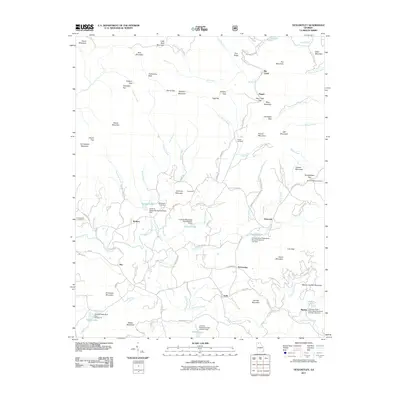 2011 Tickanetley2011 Print · USGSThe community of Tickanetley and its surrounding mountain gaps were documented in 2011 just as the local watershed was being managed by several new structures. Genealogists can trace local roots through the Pisgah Cemetery, Scrougetown Cemetery, and settlements like Diamond and Quill.
 - 2011 Map of Blue Ridge, 2011 Print
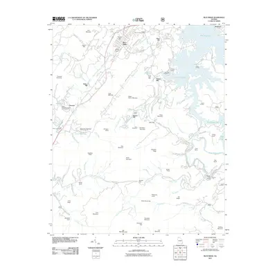 2011 Blue Ridge2011 Print · USGSNorth Georgia’s mountain landscape is captured here in the early twenty-first century as Blue Ridge Lake winds through the hills. Researchers can locate historic mill sites like Greens Mill and old family burial grounds including Antioch Cemetery and Padena Cemetery.
 - 2011 Map of Noontootla, 2011 Print
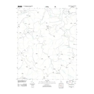 2011 Noontootla2011 Print · USGSFannin County’s high country is documented here during the early twenty-first century, showing the area’s transition into a premier recreation destination. Genealogists and hikers can trace old family sites like Wilson Mill or locate the Hawks Mountain Trail Shelter and Noontootla Cemetery.
 - 2011 Map of Epworth, 2011 Print
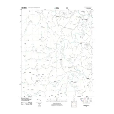 2011 Epworth2011 Print · USGSThe Georgia-Tennessee border region near the Toccoa River is captured here in the early 21st century. Genealogists and historians can trace family-named sites like Patterson Mill, Millsaps Cemetery, and the Sally Jane Prospect mine.
 - 2011 Map of Mulky Gap, 2011 Print
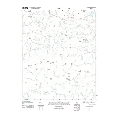 2011 Mulky Gap2011 Print · USGSUnion County is shown in the early twenty-first century as a landscape of high ridges and traditional mountain gaps. Genealogists and local historians can trace family ties through numerous burial sites like New Union Cemetery, Harkins Cemetery, and Jones Cemetery.
 - 2011 Map of Suches, 2011 Print
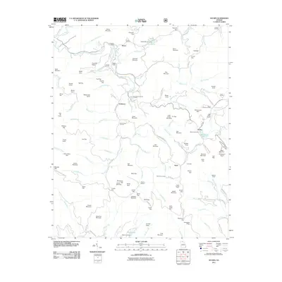 2011 Suches2011 Print · USGSSuches and the high mountain gaps of Union County are captured here in the early twenty-first century. Genealogists and hikers can trace old family burial grounds like Corinth Cemetery or find landmarks such as the Black Mountain Look Out Tower and Gooch Gap Trail Shelter.
 - 2011 Map of Mineral Bluff, 2011 Print
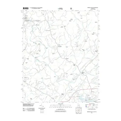 2011 Mineral Bluff2011 Print · USGSNear the Georgia-Tennessee border in the early 2000s, the Toccoa River valley connects industrial centers with quiet mountain hollows. Genealogists and historians can locate legacy sites like CCC Camp 3467, the old Benchleg Ford, and Salem Number 2 Missionary Baptist Church Cemetery.
 - 2013 Map of Culberson, 2013 Print
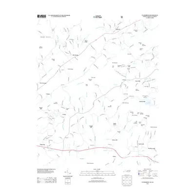 2013 Culberson2013 Print · USGSThe North Carolina and Georgia borderlands are captured here in the early twenty-first century, showing a landscape defined by mountain milling history and quiet rural settlements. Researchers can trace numerous family-named sites and industrial landmarks like Mashburn Mill, Forge Mill, and the Robert W Woodruff Scout Reservation.
 - 2014 Map of Dyer Gap, 2014 Print
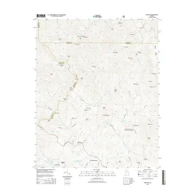 2014 Dyer Gap2014 Print · USGSThe North Georgia high country is captured here during the early twenty-first century, showing the intersection of three counties. Researchers can trace ancestral roots at Dyer Cem, Mt Nebo Cem, and the settlement of Pleasant Hill along the Conasauga River.
 - 2014 Map of Noontootla, 2014 Print
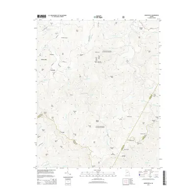 2014 Noontootla2014 Print · USGSThe high ridges and deep valleys of Fannin County are shown in detail as they appeared in the early 21st century. Genealogists can locate family burial sites like Greenway Cem and Stock Hill Cem, or trace the path of the Toccoa River past Wilson Mill.
 - 2014 Map of Wilscot, 2014 Print
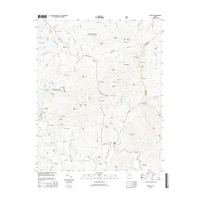 2014 Wilscot2014 Print · USGSFannin and Union County mountain communities are captured here in the early 21st century, from the shores of Blue Ridge Lake to the banks of the Toccoa River. Genealogists can locate several family burial sites, including the Brown Cem, Tilley Church Cem, and Sugar Hill Cem.
 - 2014 Map of Blue Ridge, 2014 Print
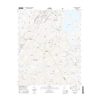 2014 Blue Ridge2014 Print · USGSBlue Ridge and the surrounding North Georgia mountains are documented here in the early twenty-first century as the landscape balances forest conservation and town growth. Researchers can locate family sites at Antioch Cem, trace old industrial sites like Greens Mill, or find the crossing at Shallow Ford Bridge.
 - 2014 Map of Nottely Dam, 2014 Print
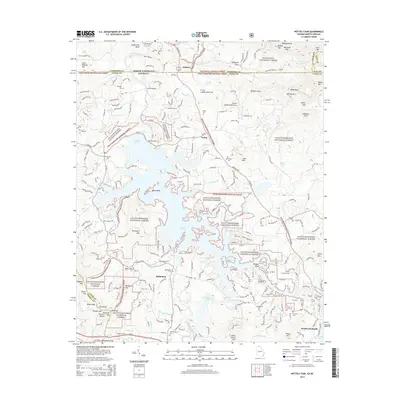 2014 Nottely Dam2014 Print · USGSThe Georgia-North Carolina border country comes alive in this 2010s survey, dominated by the waters of Nottely Lake. Genealogists and historians can trace family roots through numerous sites like Bethany Cem, Ivylog, and Antioch Cem.
 - 2014 Map of Nimblewill, 2014 Print
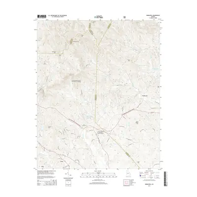 2014 Nimblewill2014 Print · USGSThe northern Georgia highlands are documented here during the early twenty-first century, showing the intersection of military training grounds and protected forest. Genealogists and hikers can trace sites like High Shoals Cem. or follow the route to Amicalola Falls.
 - 2014 Map of Epworth, 2014 Print
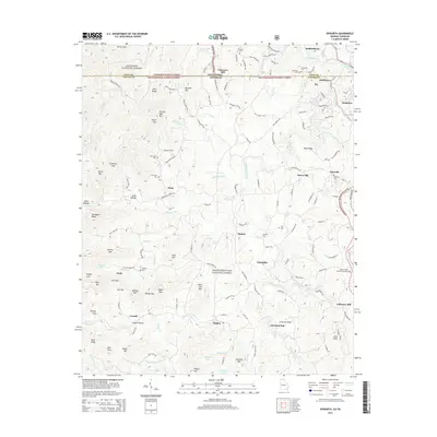 2014 Epworth2014 Print · USGSThe Georgia-Tennessee borderlands appear here as a network of mountain settlements and family landmarks. Researchers can trace local heritage through Epworth, Patterson Mill, and Lickskillet, or locate burials at Crestlawn Cem and Millsaps Cem.
 - 2014 Map of Suches, 2014 Print
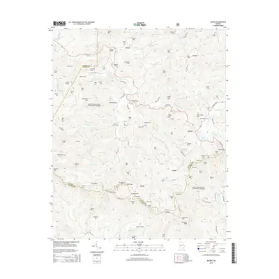 2014 Suches2014 Print · USGSThe North Georgia mountains around Suches and Gaddistown are captured here in the early twenty-first century. Genealogists and hikers can trace the connections between old family burial grounds like Woody Cem and the gaps along the Blue Ridge.
 - 2014 Map of Cashes Valley, 2014 Print
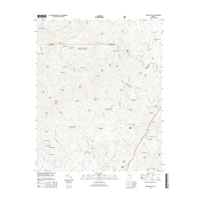 2014 Cashes Valley2014 Print · USGSThe high gaps and valley settlements of the Fannin-Gilmer county line are shown in fine detail during the early twenty-first century. Researchers can locate remote family landmarks like Cashes Valley Cem, Chopped Oak, and the Blue Ridge Skyport Airport.
 - 2014 Map of Hemp Top, 2014 Print
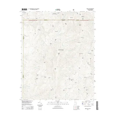 2014 Hemp Top2014 Print · USGSHigh ridges along the Georgia and Tennessee border are preserved in this 2014 survey of the mountain divide between the Cherokee and Chattahoochee national forests. Researchers can locate the Jones Cem and trace the paths of Wagon Road Ridge and the Jacks River Rd.
Showing maps 1-25 of 43
Top cities of Fannin County
Frequently asked questions
- What are the different types of historical maps available for Fannin County?
- What is the oldest map of Fannin County?
- Where can I purchase historical maps of Fannin County for my home or office?
- Where can I download high-res historical maps of Fannin County?
- Are there historical topographic maps available for Fannin County?
- Is there historical aerial imagery available for Fannin County?
- Where are historical maps of Fannin County sourced from?