2000s (21st Century) Maps of Columbus, Georgia
Explore 40 historic maps of Columbus from the 2000s (21st Century). These maps offer a rare glimpse into what life looked like during the 2000s — showing old roads, neighborhoods, homes, and landmarks that have changed or disappeared over time.
Whether you're researching your family's past, planning a metal detecting trip, or studying how Columbus's landscape evolved across the 2000s, these high-resolution maps are a powerful tool for exploring the history of this region.
- Focus on a specific era: All maps on this page are from the 2000s, giving you a focused view of this time period.
- See what’s changed: Compare century-old streets, trails, and buildings to today's modern landscape using overlays and satellite layers.
- Research with precision: Use these maps for genealogy, historical research, land use analysis, or educational projects.
- View, download, or print: Maps are fully viewable online in high resolution, and can be downloaded or printed for your own records.
Start exploring Columbus's history through authentic maps from the 2000s. This is your window into the past.
Columbus, GA maps
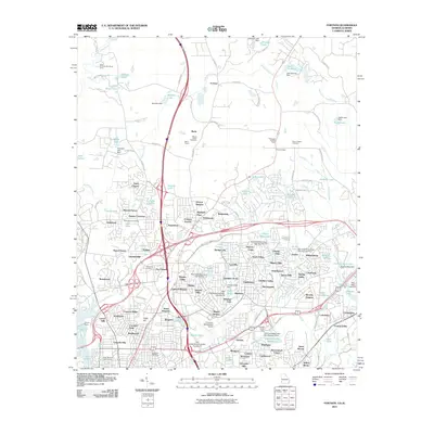
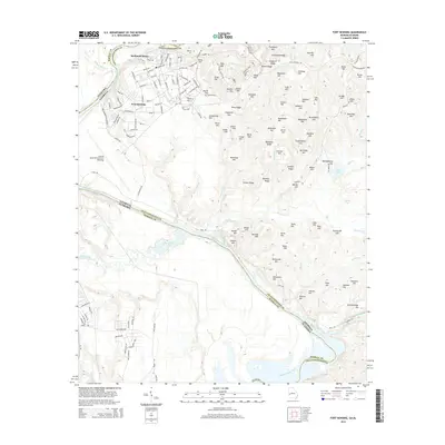
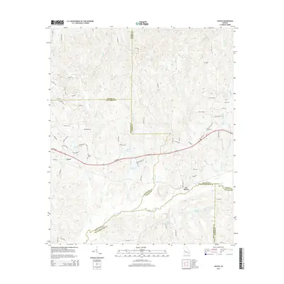
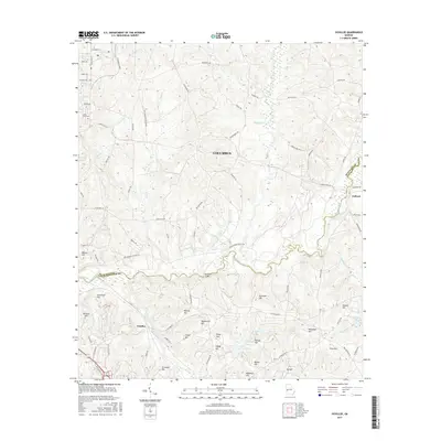
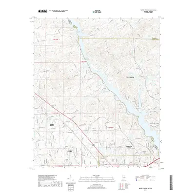
(40)- 2011 Map of Smiths Station, 2011 Print
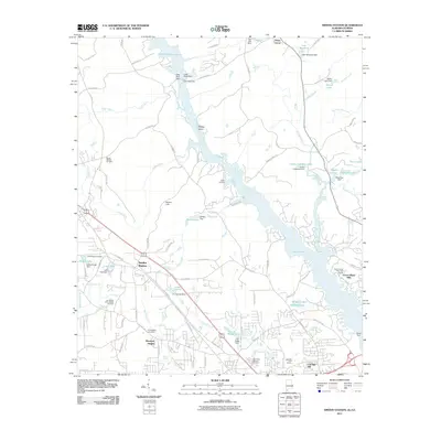 2011 Smiths Station2011 Print · USGSCovers Columbus, including Phenix City, Smiths Station, and other nearby areas2 unique versions available
 - 2011 Map of Upatoi, 2011 Print
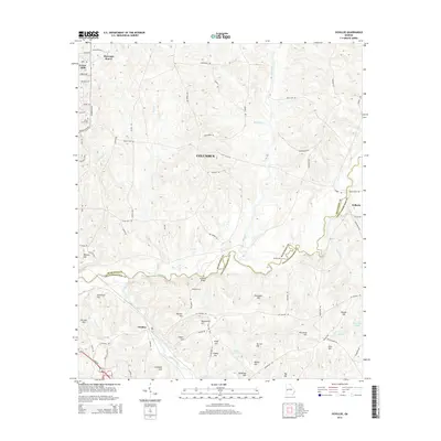
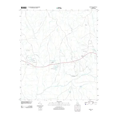 2011 Upatoi2011 Print · USGSCovers Columbus, including Box Springs, Upatoi, and other nearby areas
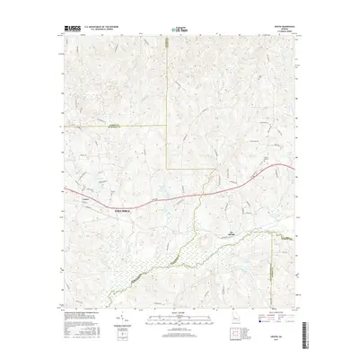
 - 2011 Map of Ochillee, 2011 Print
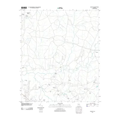 2011 Ochillee2011 Print · USGSCovers Columbus, including Eelbeck, Muscogee County, and other nearby areas
 - 2011 Map of Buena Vista NW, 2011 Print
 2011 Buena Vista NW2011 Print · USGSCovers Columbus, including Muscogee County, Marion County, and other nearby areas
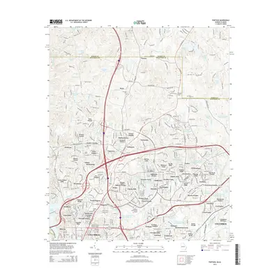
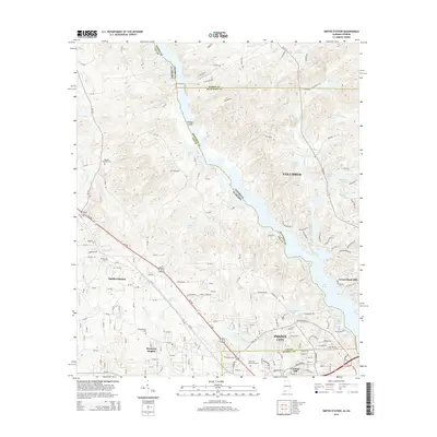
 - 2011 Map of Columbus, 2011 Print
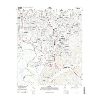
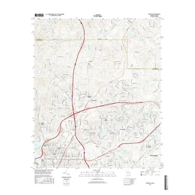
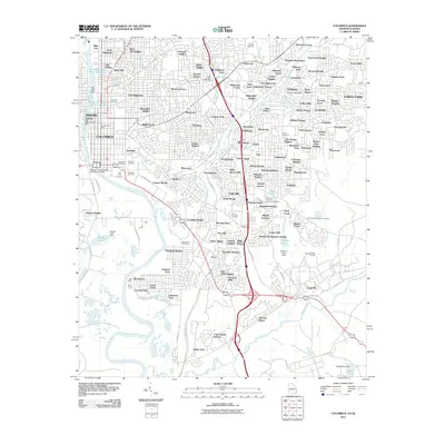 2011 Columbus2011 Print · USGSCovers Columbus, including Phenix City, Garrett Heights, and other nearby areas
 - 2011 Map of Fortson, 2011 Print
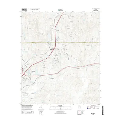
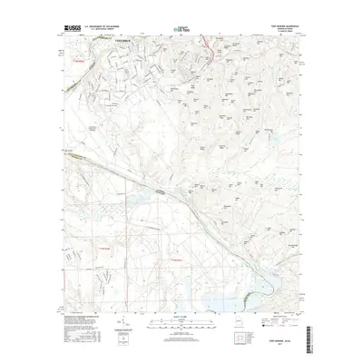
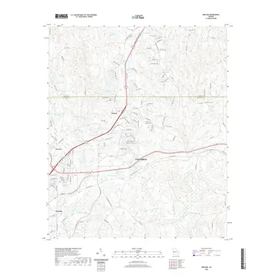
 2011 Fortson2011 Print · USGSCovers Columbus, including Phenix City, Farmington, and other nearby areas
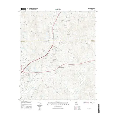
 - 2011 Map of Midland, 2011 Print
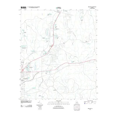 2011 Midland2011 Print · USGSCovers Columbus, including Gordydale, Midland, and other nearby areas
 - 2011 Map of Fort Benning, 2011 Print
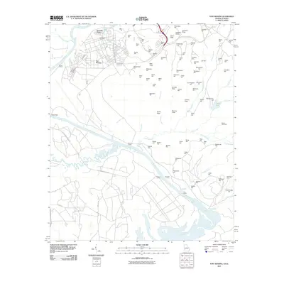 2011 Fort Benning2011 Print · USGSCovers Columbus, including East Main Post, Davis Hill, and other nearby areas
 - 2014 Map of Fortson, 2014 Print
 2014 Fortson2014 Print · USGSCovers Columbus, including Phenix City, Farmington, and other nearby areas
 - 2014 Map of Fort Benning, 2014 Print
 2014 Fort Benning2014 Print · USGSCovers Columbus, including East Main Post, Davis Hill, and other nearby areas
 - 2014 Map of Ochillee, 2014 Print
 2014 Ochillee2014 Print · USGSCovers Columbus, including Eelbeck, Muscogee County, and other nearby areas
 - 2014 Map of Columbus, 2014 Print
 2014 Columbus2014 Print · USGSCovers Columbus, including Phenix City, Garrett Heights, and other nearby areas
 - 2014 Map of Midland, 2014 Print
 2014 Midland2014 Print · USGSCovers Columbus, including Gordydale, Midland, and other nearby areas
 - 2014 Map of Upatoi, 2014 Print
 2014 Upatoi2014 Print · USGSCovers Columbus, including Box Springs, Upatoi, and other nearby areas
 - 2014 Map of Buena Vista NW, 2014 Print
 2014 Buena Vista NW2014 Print · USGSCovers Columbus, including Muscogee County, Marion County, and other nearby areas
 - 2014 Map of Smiths Station, 2014 Print
 2014 Smiths Station2014 Print · USGSCovers Columbus, including Phenix City, Smiths Station, and other nearby areas
 - 2017 Map of Midland, 2017 Print
 2017 Midland2017 Print · USGSCovers Columbus, including Gordydale, Midland, and other nearby areas
 - 2017 Map of Upatoi, 2017 Print
 2017 Upatoi2017 Print · USGSCovers Columbus, including Box Springs, Upatoi, and other nearby areas
 - 2017 Map of Ochillee, 2017 Print
 2017 Ochillee2017 Print · USGSCovers Columbus, including Eelbeck, Muscogee County, and other nearby areas
 - 2017 Map of Fort Benning, 2017 Print
 2017 Fort Benning2017 Print · USGSCovers Columbus, including East Main Post, Davis Hill, and other nearby areas
 - 2017 Map of Fortson, 2017 Print
 2017 Fortson2017 Print · USGSCovers Columbus, including Phenix City, Farmington, and other nearby areas
 - 2017 Map of Buena Vista NW, 2017 Print
 2017 Buena Vista NW2017 Print · USGSCovers Columbus, including Muscogee County, Marion County, and other nearby areas
 - 2017 Map of Columbus, 2017 Print
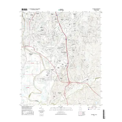 2017 Columbus2017 Print · USGSCovers Columbus, including Phenix City, Garrett Heights, and other nearby areas
 - 2018 Map of Smiths Station, 2018 Print
 2018 Smiths Station2018 Print · USGSCovers Columbus, including Phenix City, Smiths Station, and other nearby areas
 - 2020 Map of Midland, 2020 Print
 2020 Midland2020 Print · USGSCovers Columbus, including Gordydale, Midland, and other nearby areas
Showing maps 1-25 of 40
Top cities near Columbus
- Phenix City historical maps
- Cusseta historical maps
- Smiths Station historical maps
- Ladonia historical maps
- Waverly Hall historical maps
Top neighborhoods of Columbus
- Edgewood historical maps
- Patton Village historical maps
- McGraw Village historical maps
- Crystal Valley historical maps
- Fortson historical maps
- Foxfire historical maps
See more
Frequently asked questions
- What are the different types of historical maps available for Columbus?
- What is the oldest map of Columbus?
- Where can I purchase historical maps of Columbus for my home or office?
- Where can I download high-res historical maps of Columbus?
- Are there historical topographic maps available for Columbus?
- Is there historical aerial imagery available for Columbus?
- Where are historical maps of Columbus sourced from?