2000s (21st Century) Maps of Thomas County, Georgia
Explore 81 historic maps of Thomas County from the 2000s (21st Century). These maps offer a rare glimpse into what life looked like during the 2000s — showing old roads, neighborhoods, homes, and landmarks that have changed or disappeared over time.
Whether you're researching your family's past, planning a metal detecting trip, or studying how Thomas County's landscape evolved across the 2000s, these high-resolution maps are a powerful tool for exploring the history of this region.
- Focus on a specific era: All maps on this page are from the 2000s, giving you a focused view of this time period.
- See what’s changed: Compare century-old streets, trails, and buildings to today's modern landscape using overlays and satellite layers.
- Research with precision: Use these maps for genealogy, historical research, land use analysis, or educational projects.
- View, download, or print: Maps are fully viewable online in high resolution, and can be downloaded or printed for your own records.
Start exploring Thomas County's history through authentic maps from the 2000s. This is your window into the past.
Thomas County, GA maps
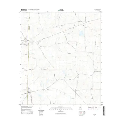
(81)- 2011 Map of Miccosukee NE, 2011 Print
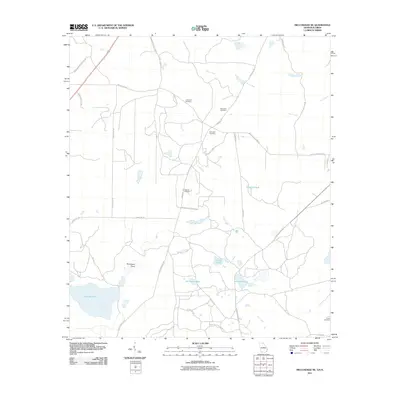 2011 Miccosukee NE2011 Print · USGSCovers Thomas County, including Leon County, Grady County, and other nearby areas
 - 2011 Map of Pine Park, 2011 Print
 2011 Pine Park2011 Print · USGSCovers Thomas County, including Thomasville, Pine Park, and other nearby areas
 - 2011 Map of Ochlocknee, 2011 Print
 2011 Ochlocknee2011 Print · USGSCovers Thomas County, including Ochlocknee, Dawesville, and other nearby areas
 - 2011 Map of Grooverville, 2011 Print
 2011 Grooverville2011 Print · USGSCovers Thomas County, including Piscola, Grooverville, and other nearby areas
 - 2011 Map of Pavo, 2011 Print
 2011 Pavo2011 Print · USGSCovers Thomas County, including Hollis, Pavo, and other nearby areas
 - 2011 Map of Dixie, 2011 Print
 2011 Dixie2011 Print · USGSCovers Thomas County, including Dixie, Oaklawn, and other nearby areas
 - 2011 Map of Thomasville, 2011 Print
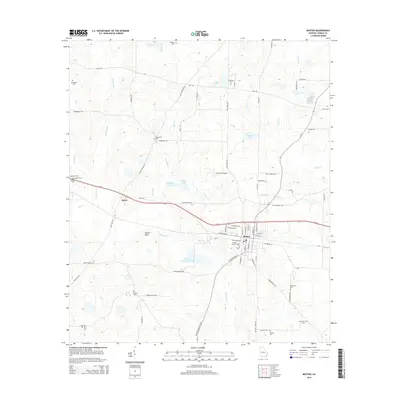
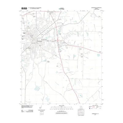 2011 Thomasville2011 Print · USGSCovers Thomas County, including Thomasville, Theodore Heights, and other nearby areas
 - 2011 Map of Metcalf, 2011 Print
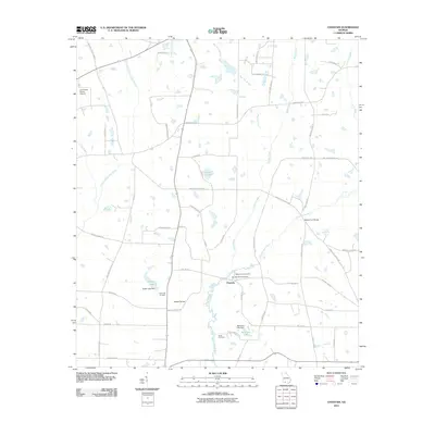
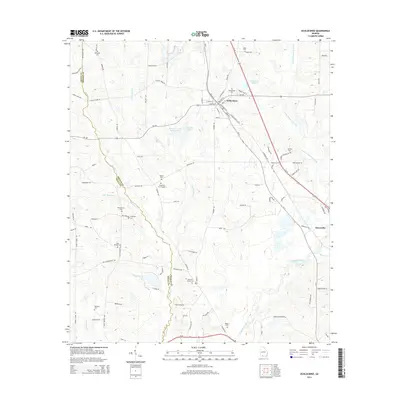
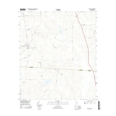
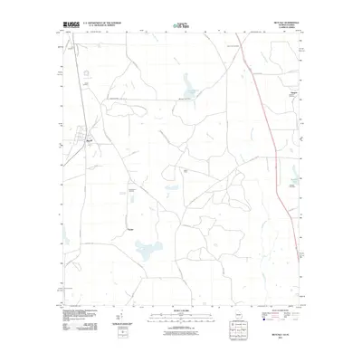 2011 Metcalf2011 Print · USGSCovers Thomas County, including Glasgow, Metcalfe, and other nearby areas
 - 2011 Map of Meigs, 2011 Print
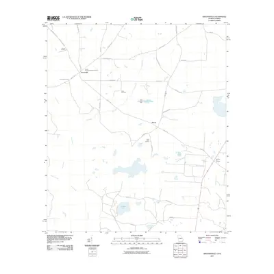
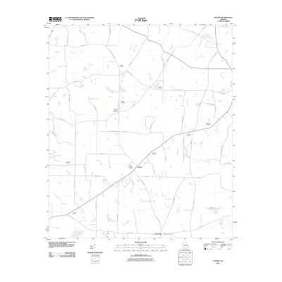
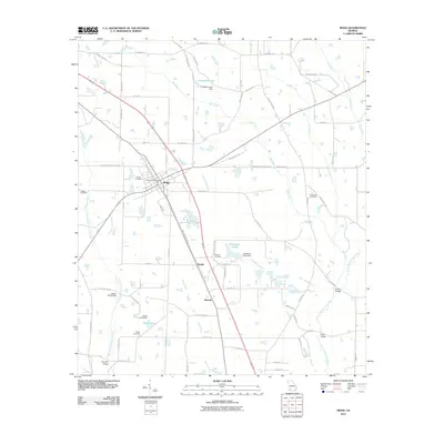 2011 Meigs2011 Print · USGSCovers Thomas County, including Meigs, Hansell, and other nearby areas
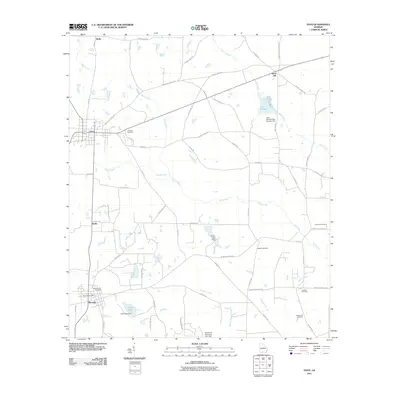
 - 2011 Map of Boston, 2011 Print
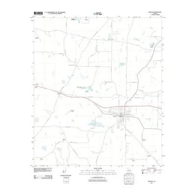 2011 Boston2011 Print · USGSCovers Thomas County, including Boston, Eason, and other nearby areas
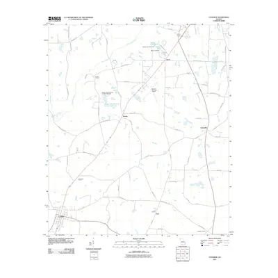
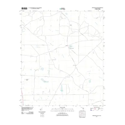
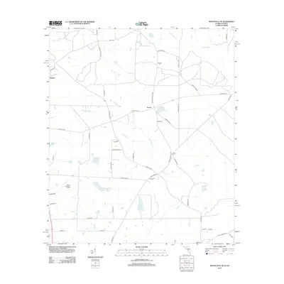
 - 2011 Map of Merrillville, 2011 Print
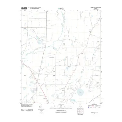 2011 Merrillville2011 Print · USGSCovers Thomas County, including Thomasville, Merrillville, and other nearby areas
 - 2011 Map of Patten, 2011 Print
 2011 Patten2011 Print · USGSCovers Thomas County, including Patten, Five Forks, and other nearby areas
 - 2011 Map of Berlin West, 2011 Print
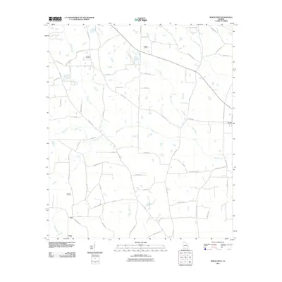 2011 Berlin West2011 Print · USGSCovers Thomas County, including Moultrie, Berlin, and other nearby areas
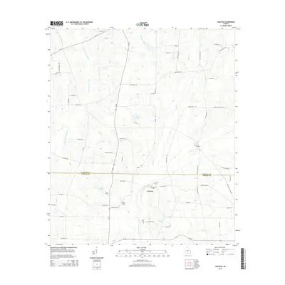
 - 2011 Map of Chastain, 2011 Print
 2011 Chastain2011 Print · USGSCovers Thomas County, including Chastain, Colquitt County, and other nearby areas
 - 2011 Map of Coolidge, 2011 Print
 2011 Coolidge2011 Print · USGSCovers Thomas County, including Moultrie, Coolidge, and other nearby areas
 - 2011 Map of Monticello NE, 2011 Print
 2011 Monticello NE2011 Print · USGSCovers Thomas County, including Everett, Jefferson County, and other nearby areas
 - 2012 Map of Monticello NE, 2012 Print
 2012 Monticello NE2012 Print · USGSCovers Thomas County, including Everett, Jefferson County, and other nearby areas
 - 2014 Map of Thomasville, 2014 Print
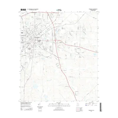 2014 Thomasville2014 Print · USGSCovers Thomas County, including Thomasville, Theodore Heights, and other nearby areas
 - 2014 Map of Patten, 2014 Print
 2014 Patten2014 Print · USGSCovers Thomas County, including Patten, Five Forks, and other nearby areas
 - 2014 Map of Pavo, 2014 Print
 2014 Pavo2014 Print · USGSCovers Thomas County, including Hollis, Pavo, and other nearby areas
 - 2014 Map of Boston, 2014 Print
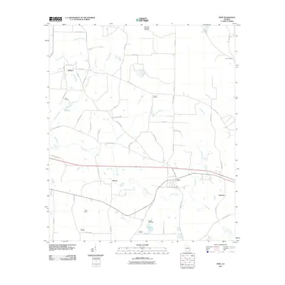
 2014 Boston2014 Print · USGSCovers Thomas County, including Boston, Eason, and other nearby areas
 - 2014 Map of Ochlocknee, 2014 Print
 2014 Ochlocknee2014 Print · USGSCovers Thomas County, including Ochlocknee, Dawesville, and other nearby areas
 - 2014 Map of Miccosukee NE, 2014 Print
 2014 Miccosukee NE2014 Print · USGSCovers Thomas County, including Leon County, Grady County, and other nearby areas
 - 2014 Map of Chastain, 2014 Print
 2014 Chastain2014 Print · USGSCovers Thomas County, including Chastain, Colquitt County, and other nearby areas
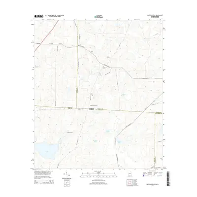
 - 2014 Map of Metcalf, 2014 Print
 2014 Metcalf2014 Print · USGSCovers Thomas County, including Glasgow, Metcalfe, and other nearby areas
Showing maps 1-25 of 81
Top cities of Thomas County
- Thomasville historical maps
- Boston historical maps
- Meigs historical maps
- Ochlocknee historical maps
- Coolidge historical maps
Frequently asked questions
- What are the different types of historical maps available for Thomas County?
- What is the oldest map of Thomas County?
- Where can I purchase historical maps of Thomas County for my home or office?
- Where can I download high-res historical maps of Thomas County?
- Are there historical topographic maps available for Thomas County?
- Is there historical aerial imagery available for Thomas County?
- Where are historical maps of Thomas County sourced from?