2020s Maps of Hawaii
Explore 159 historic maps of Hawaii from the 2020s. These maps offer a rare glimpse into what life looked like during the 2020s — showing old roads, neighborhoods, homes, and landmarks that have changed or disappeared over time.
Whether you're researching your family's past, planning a metal detecting trip, or studying how Hawaii's landscape evolved across the 2020s, these high-resolution maps are a powerful tool for exploring the history of this region.
- Focus on a specific era: All maps on this page are from the 2020s, giving you a focused view of this time period.
- See what’s changed: Compare century-old streets, trails, and buildings to today's modern landscape using overlays and satellite layers.
- Research with precision: Use these maps for genealogy, historical research, land use analysis, or educational projects.
- View, download, or print: Maps are fully viewable online in high resolution, and can be downloaded or printed for your own records.
Start exploring Hawaii's history through authentic maps from the 2020s. This is your window into the past.
Hawaii maps
(159)- 2024 Map of Keawanui Bay, 2024 Print
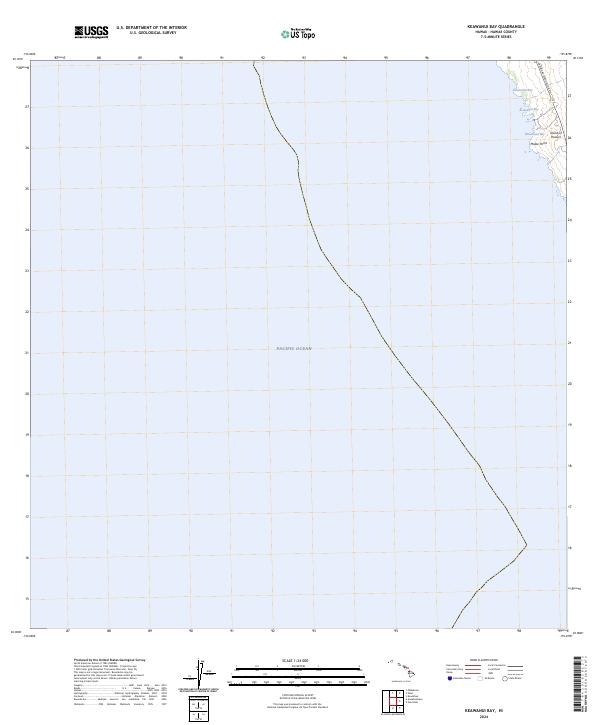 2024 Keawanui Bay2024 Print · USGSThe Kohala coast of the Big Island is captured in this modern survey of North Hawaii. Researchers can trace the path of the Kawaihae-Mahukona Rd and locate coastal landmarks such as Keawanui Bay and Malae Point.
 - 2024 Map of Kauluoa Point, 2024 Print
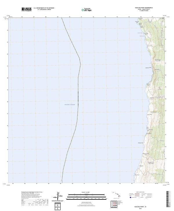 2024 Kauluoa Point2024 Print · USGSThe South Kona coastline in the mid-2020s remains a landscape defined by dramatic volcanic history and steep coastal cliffs. Researchers can trace the massive Honokua Lava Flow of 1950 and locate local landmarks such as Kalahiki Cem and Pali Kaholo.
 - 2024 Map of Anaehoomalu, 2024 Print
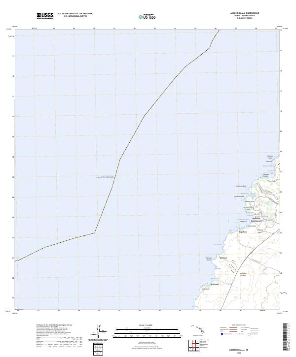 2024 Anaehoomalu2024 Print · USGSThe Kohala Coast in the modern era shows a unique blend of ancient landmarks and recent volcanic history. Trace the massive Lava Flow of 1859 as it meets the Pacific Ocean near Keawaiki and the Ku'uali'i Fishpond.
 - 2024 Map of Kahuku Ranch, 2024 Print
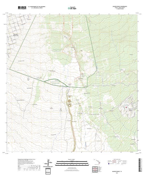 2024 Kahuku Ranch2024 Print · USGSThe southern volcanic slopes of Hawaii come alive in this modern survey, showing how residential growth meets historic lava fields. Trace the reach of the Lava Flow of 1868 and explore local landmarks like Discovery Harbour and Pali o Mamalu.
 - 2024 Map of Hawi OE N, 2024 Print
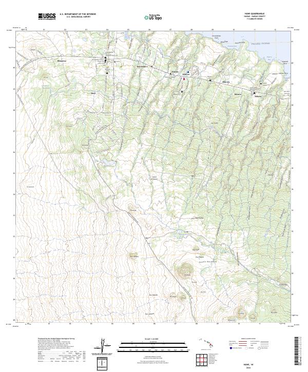
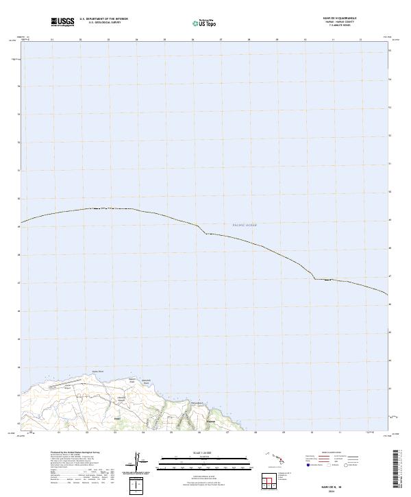 2024 Hawi OE N2024 Print · USGSThe northern tip of the Big Island appears here in the modern era, showing the relationship between coastal settlements and the volcanic terrain. Researchers can trace the rugged shoreline from Upolu Airport past Pāhoa Beach to the gulches of Hawi and Kapaau.
 - 2024 Map of Kukaiau, 2024 Print
 2024 Kukaiau2024 Print · USGSThe Hamakua Coast's plantation heritage and deep gulches are preserved in this recent survey of northeast Hawaii. Researchers can trace historic routes along the Old Mamalahoa Hwy and locate local landmarks like Paauilo Hui Cem and Hikiau Falls.
 - 2024 Map of Kealakekua, 2024 Print
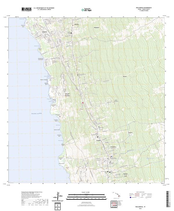 2024 Kealakekua2024 Print · USGSThe Kona coast comes into focus in this contemporary survey of its residential corridors and sacred sites. Genealogists can trace family heritage at the Kona Daifukuji Soto Mission Cem, Lekeleke Burial Grounds, and the Kona Courthouse Keakealani Building.
 - 2024 Map of Mountain View, 2024 Print
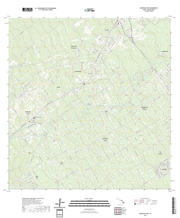 2024 Mountain View2024 Print · USGSThe Puna district of Hawaii is shown here in the mid-2020s, featuring the extensive grid-style subdivisions and agricultural homesteads that define the region. Genealogists can locate several historic burial sites like the Filipino Cem and Jodo Cem, alongside local landmarks like Uetama Camp.
 - 2024 Map of Kalapana OE E, 2024 Print
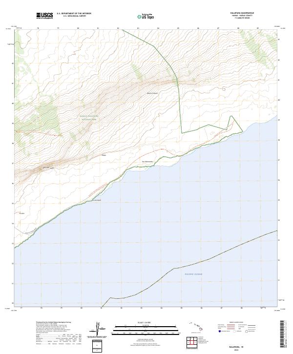
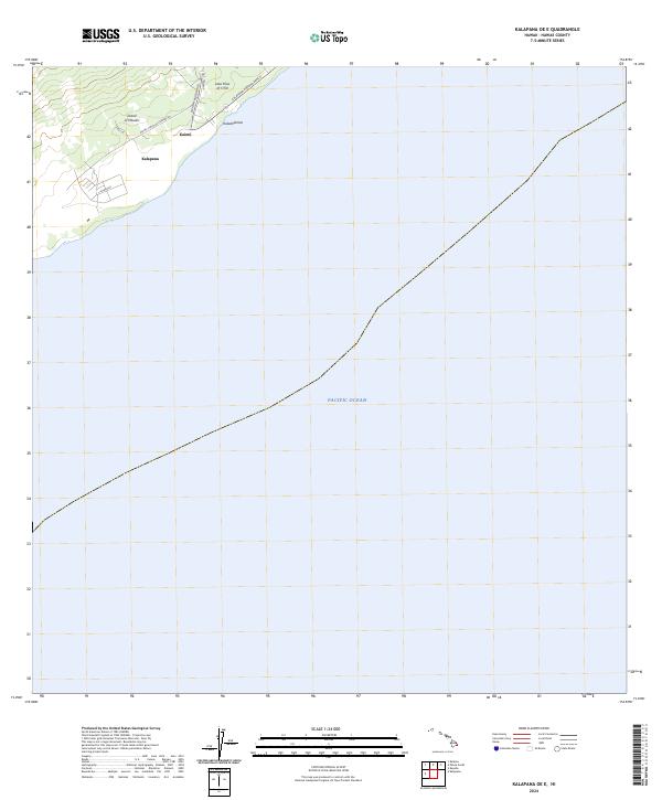 2024 Kalapana OE E2024 Print · USGSThe Puna coastline is captured in this recent survey, showcasing a landscape perpetually shaped by volcanic activity and the sea. Researchers can trace local roads and settlements like Kalapana, Kaimū, and the historic Lava Flow of 1750.
 - 2024 Map of Kukuihaele, 2024 Print
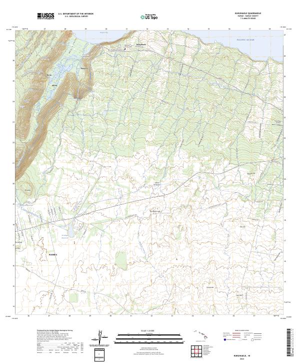 2024 Kukuihaele2024 Print · USGSCoastal Hamakua and the Waimea highlands are captured in this recent survey. Researchers can trace ancestral sites near Kukuihaele, examine the Lālākea Fishpond in Waipi‘o, and locate family markers in the Kukuihaele County Cem.
 - 2024 Map of Kalalua, 2024 Print
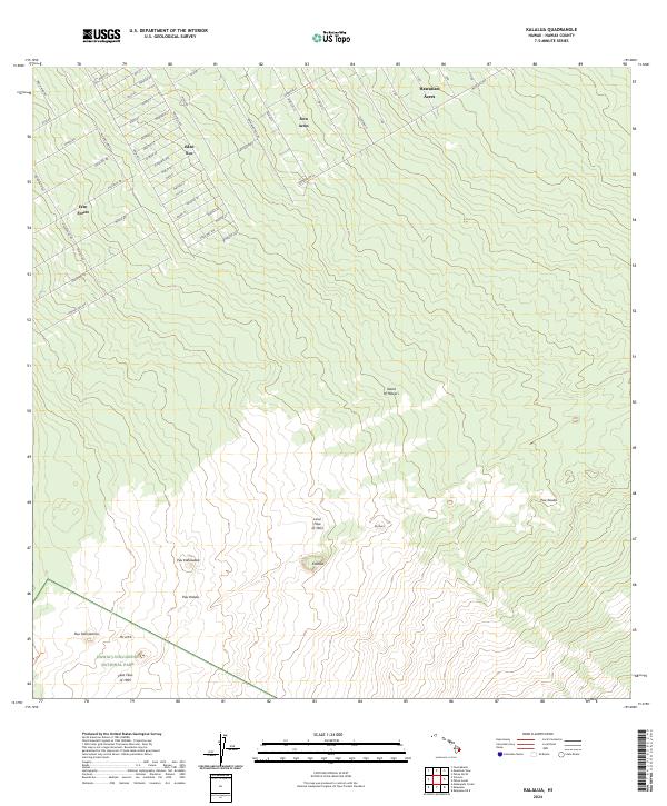 2024 Kalalua2024 Print · USGSThe windward slopes of the Big Island are shown in this contemporary study of volcanic terrain and forest subdivisions. You can trace the paths of the Lava Flow of 1963 near Pu'u'o'o or locate properties in Eden Roc and Fern Acres.
 - 2024 Map of Makaopuhi Crater, 2024 Print
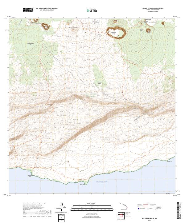 2024 Makaopuhi Crater2024 Print · USGSThe East Rift Zone of the Island of Hawai'i is revealed in this modern survey of active volcanic terrain. Trace the paths of the Lava Flow of 1972 and the Lava Flow of 1840 as they surround Makaopuhi Crater and Nāpau Crater.
 - 2024 Map of Mauna Kea, 2024 Print
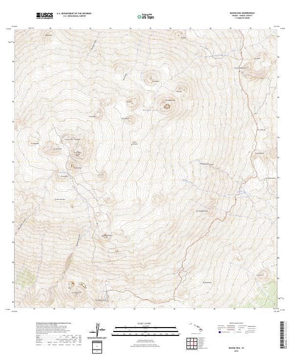 2024 Mauna Kea2024 Print · USGSThe summit of Mauna Kea is captured in the mid-2020s, showcasing its unique alpine hydrology and numerous cinder cones. Researchers can trace the high-altitude Mauna Kea Access Road Trl and locate the sacred Lake Waiau alongside named peaks like Pu‘upoli‘ahu.
 - 2024 Map of Nohonaohae, 2024 Print
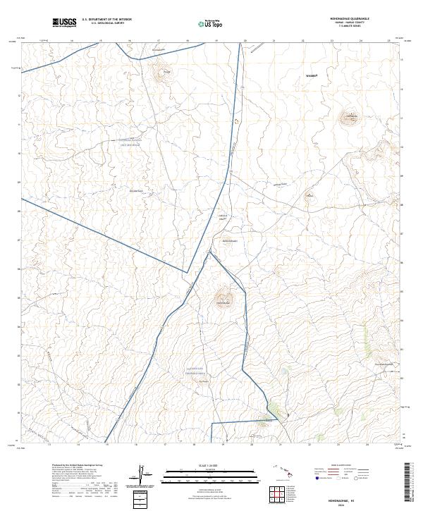 2024 Nohonaohae2024 Print · USGSHigh-altitude interior lands on the Island of Hawai‘i are documented here in their modern context of military training and regional transit. Researchers can trace the infrastructure of the Pohakuloa Training Area alongside landmarks like Holoholokū and Nohonaohae.
 - 2024 Map of Ahumoa, 2024 Print
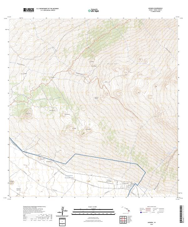 2024 Ahumoa2024 Print · USGSThe high volcanic slopes of the Big Island are captured here during the twenty-first century, featuring the intersection of military activity and natural landmarks. Researchers can trace the perimeter of the Pohakuloa Training Area and locate remote features like Bradshaw Army Airfield and Waihu Spring.
 - 2024 Map of Kapoho, 2024 Print
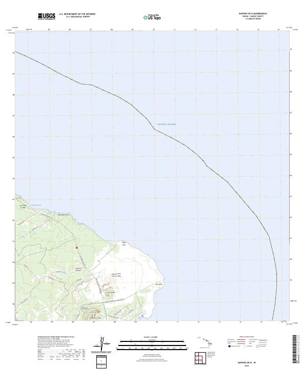
 2024 Kapoho2024 Print · USGSThe eastern coast of the Island of Hawaii is captured here in the years following its mid-century volcanic shifts. Trace the legacy of the Kii Lava Flow of 1955 and locate coastal settlements such as Waiopae and Kahinihiniula along the Puna shoreline.
 - 2024 Map of Hawi, 2024 Print
 2024 Hawi2024 Print · USGSThe northern tip of Hawaii Island comes into focus here, showing the transition from the Kohala coast to the upland slopes. Genealogists and researchers can trace local history through numerous sites like Hawi Japanese Cem, Kohala Ditch, and Saint Augustine Episcopal Cem.
 - 2024 Map of Kalapana, 2024 Print
 2024 Kalapana2024 Print · USGSThe southern coast of the Big Island comes into focus in this contemporary survey of the volcanic shoreline. Researchers can trace the path of Chain of Craters Road and the Kalapana Emergency Access Road Trl near Ka Lae Apuki.
 - 2024 Map of Kailua, 2024 Print
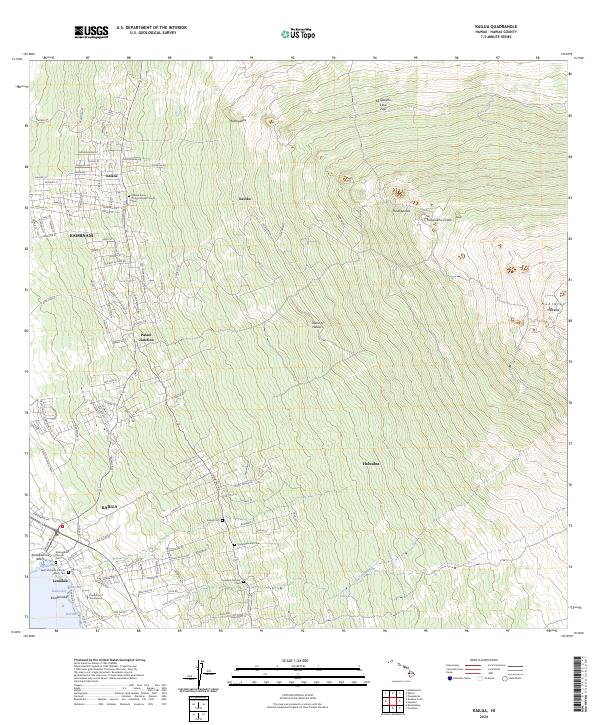 2024 Kailua2024 Print · USGSThe West Hawai'i coast comes alive in this current topographic view, showing the steep ascent from the shoreline to the slopes of Hualālai. Genealogists and historians can trace old community foundations at Mokuaikaua Church Cem and Kalaoa.
 - 2024 Map of Kapoho OE N, 2024 Print
 2024 Kapoho OE N2024 Print · USGSThe Puna coastline is captured in this recent survey, showcasing a landscape shaped by historical volcanic eruptions. Researchers can trace the path of the Lava Flow of 1840 or locate landmarks like Kapoho Crater and the interior Green Lake.
 - 2024 Map of Kulani, 2024 Print
 2024 Kulani2024 Print · USGSThe high volcanic slopes of the Big Island are captured here in the early twenty-first century, showcasing a landscape shaped by recent eruptions. Trace the massive paths of the Lava Flow of 1852 and Lava Flow of 1942 past remote landmarks like Solomons Waterhole.
 - 2024 Map of Waikoloa Ponds, 2024 Print
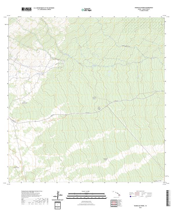 2024 Waikoloa Ponds2024 Print · USGSHigh on the slopes of the Big Island, this contemporary survey documents a landscape defined by volcanic activity spanning over a century. Geologists and researchers can trace the distinct paths of the Lava Flow of 1881 and the historic Kaumana Trl through the interior highlands.
 - 2024 Map of Kalae OE E, 2024 Print
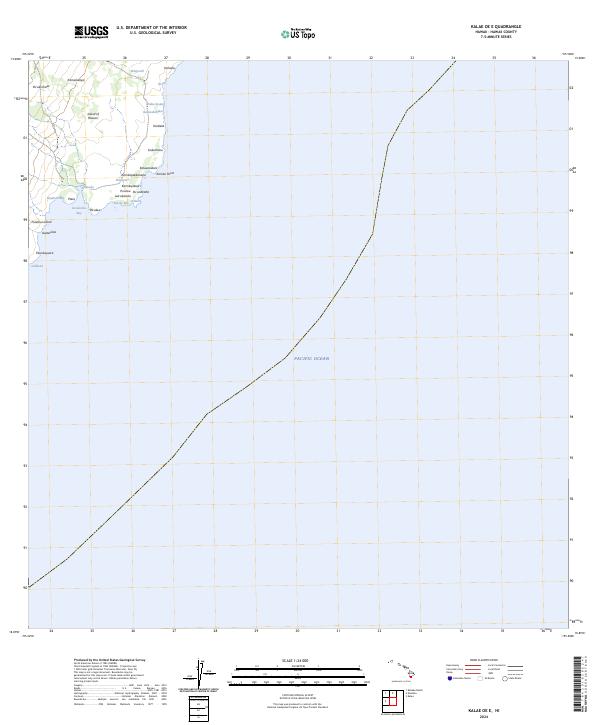 2024 Kalae OE E2024 Print · USGSThe southeastern shoreline of the Island of Hawai'i is detailed here as it appeared in the early twenty-first century. Researchers can trace the named land divisions and coastal landmarks from Kamilo Point to the sheltered waters of Ka'alu'alu Bay.
 - 2024 Map of Mauna Loa, 2024 Print
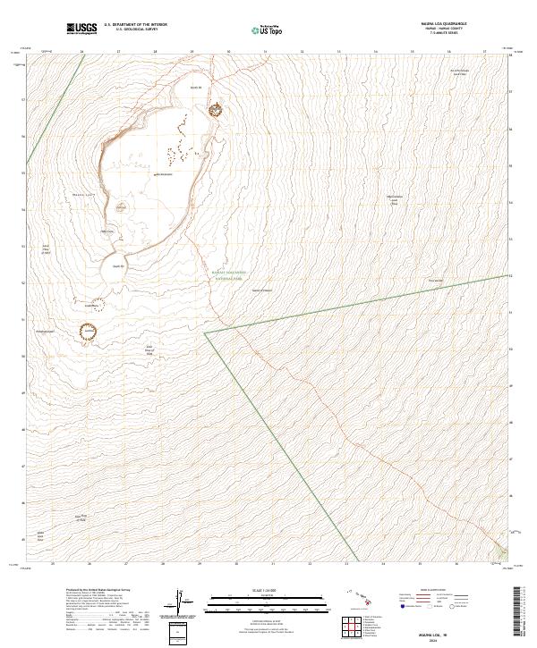 2024 Mauna Loa2024 Print · USGSThe summit of the world's largest active volcano is captured here in the early twenty-first century. Geologists and hikers can trace chronological eruptions from the 1940 Cone to the Lava Flow of 1926 and navigate the Summit Trl across Mokuʖāweoweo.
 - 2024 Map of Kalae, 2024 Print
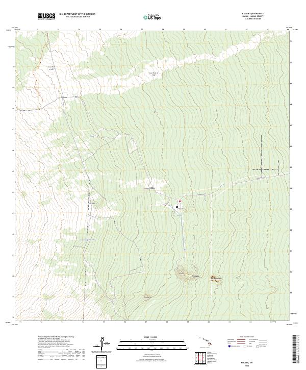
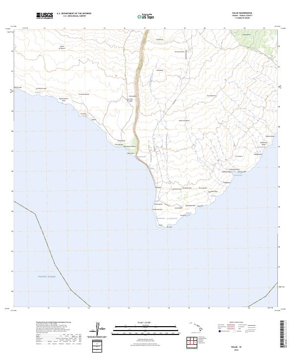 2024 Kalae2024 Print · USGSThe southern tip of the Big Island appears here in its modern topographic context, showing the intersection of volcanic history and coastal geography. Researchers can trace the path of the Lava Flow of 1868 and locate traditional sites like Hāwea and Kalae.
Showing maps 1-25 of 159
Top cities of Hawaii
- Honolulu historical maps
- Waipahu historical maps
- East Honolulu historical maps
- Mililani historical maps
- Pearl City historical maps
- Hilo historical maps
See more
Top counties of Hawaii
- Honolulu County historical maps
- Hawaiʻi County historical maps
- Maui County historical maps
- Kauai County historical maps
Frequently asked questions
- What are the different types of historical maps available for Hawaii?
- What is the oldest map of Hawaii?
- Where can I purchase historical maps of Hawaii for my home or office?
- Where can I download high-res historical maps of Hawaii?
- Are there historical topographic maps available for Hawaii?
- Is there historical aerial imagery available for Hawaii?
- Where are historical maps of Hawaii sourced from?