1990s Maps of Hawaiʻi County, Hawaii
Explore 72 historic maps of Hawaiʻi County from the 1990s. These maps offer a rare glimpse into what life looked like during the 1990s — showing old roads, neighborhoods, homes, and landmarks that have changed or disappeared over time.
Whether you're researching your family's past, planning a metal detecting trip, or studying how Hawaiʻi County's landscape evolved across the 1990s, these high-resolution maps are a powerful tool for exploring the history of this region.
- Focus on a specific era: All maps on this page are from the 1990s, giving you a focused view of this time period.
- See what’s changed: Compare century-old streets, trails, and buildings to today's modern landscape using overlays and satellite layers.
- Research with precision: Use these maps for genealogy, historical research, land use analysis, or educational projects.
- View, download, or print: Maps are fully viewable online in high resolution, and can be downloaded or printed for your own records.
Start exploring Hawaiʻi County's history through authentic maps from the 1990s. This is your window into the past.
Hawaiʻi County, HI maps
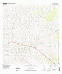
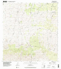
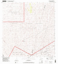
(72)- 1992 Map of Ahumoa, 2001 Print
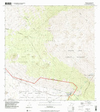 1992 Ahumoa2001 Print · USGSThe high slopes of Mauna Kea meet military training grounds in this early 1990s survey of Hawaii's volcanic interior. Researchers can trace the boundaries of the Pohakuloa Training Area and find remote water sources like Waihu Spring and Liloe Spring.
 - 1992 Map of Papaaloa, 2003 Print
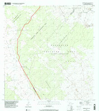
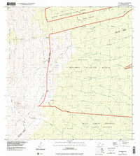
 1992 Papaaloa2003 Print · USGSThe Hamakua Coast comes alive in the early nineties, showing the intricate network of upland homesteads and coastal villages. Genealogists and historians can trace family lands within the Papa'aloa Homesteads or locate the Tidal Wave Memorial at Laupahoehoe.
 - 1993 Map of Mauna Loa, 1999 Print
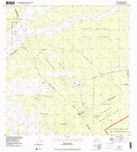
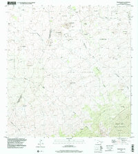
 1993 Mauna Loa1999 Print · USGSThe summit of Mauna Loa is captured here in the late twentieth century, showing the evolving geology of the Big Island. Geologists and hikers can trace the Ainapo Trail to the Mauna Loa Cabin or study the extent of the Lava Flow of 1975.
 - 1993 Map of Hualalai, 2000 Print
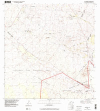
 1993 Hualalai2000 Print · USGSThis high-elevation survey of the Big Island captures the volcanic landscape and conservation lands during the 1990s. Researchers can trace historic footpaths like the Judd Trail and Pihapono Trail or locate remote landmarks like Shangri-la and Hainoa Crater.
 - 1993 Map of Puuoo, 2000 Print
 1993 Puuoo2000 Print · USGSHigh volcanic slopes on the Big Island come into focus in the 1990s, where massive basalt deposits define the land. Researchers can trace the path of the Lava Flow of 1859 as it crosses the Mauna Loa Forest Reserve and the Kona Highway.
 - 1993 Map of Puulehua, 2000 Print
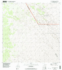
 1993 Puulehua2000 Print · USGSThe ranchlands of Hawaii County are shown in detail during the late twentieth century, before major changes to the Kona interior. Genealogists and researchers can trace historical residences like Kahelepo House and ranching sites such as Pu'ulehua Ranch.
 - 1993 Map of Keanakolu, 2001 Print
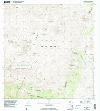
 1993 Keanakolu2001 Print · USGSHigh on the slopes of Mauna Kea in the early nineties, this area reveals a landscape of forestry camps and protected reserves. Genealogists and historians can locate Pu'uloa No 3 Camp, the Keanakolu Ranger Station, and the Cemetery near the homestead boundaries.
 - 1993 Map of Kaunene, 2001 Print
 1993 Kaunene2001 Print · USGSThe South Kona uplands are shown in the early nineties as a landscape of remote cattle camps and high-elevation land divisions. Genealogists and local historians can trace the tracks to Gaspars Dairy, Hapu'u Camp, and the Komakawai Waterholes.
 - 1993 Map of Puuulaula, 2001 Print
 1993 Puuulaula2001 Print · USGSThe high slopes of Mauna Loa appear in the 1990s as a complex sequence of historical eruptions and conservation boundaries. Researchers can trace decades of geologic history through the Lava Flow of 1935 and the Northeast Rift Zone.
 - 1993 Map of Sulphur Cone, 2001 Print
 1993 Sulphur Cone2001 Print · USGSThe high slopes of Mauna Loa are captured here in the late twentieth century, showing a landscape reshaped by successive volcanic events. Researchers can trace the paths of the Lava Flow of 1949 and the Old Hawaiian Trail near Sulphur Cone.
 - 1993 Map of Mauna Kea, 2001 Print
 1993 Mauna Kea2001 Print · USGSHigh-altitude research and conservation are captured here in the 1990s as the summit area is shared by science and nature. Researchers can trace the layout of the Mauna Kea Observatories, the location of Lake Waiau, and protected spaces like the Wailuku Silversword Sanctuary.
 - 1993 Map of Puukoli, 2001 Print
 1993 Puukoli2001 Print · USGSThe high volcanic saddle of Hawaii is captured in the early nineties, showing a landscape defined by massive lava flows and military transit. Researchers can trace the paths of the Engineer Trail and Aviation Trail across the Ke'amuku Lava Flow.
 - 1993 Map of Umikoa, 2001 Print
 1993 Umikoa2001 Print · USGSThe high slopes of Mauna Kea are captured in the early nineties, showing a landscape of sprawling ranchlands and forest reserves. Trace the geography of Umikoa (Kuka'iau Ranch), the Pohakea Homesteads, and the long Rock Wall.
 - 1993 Map of Naohuleelua, 2001 Print
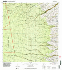
 1993 Naohuleelua2001 Print · USGSHigh on the Big Island in the early nineties, this survey documents a landscape shaped by volcanic activity and state land management. Trace the path of the Lava Flow of 1859 near Na'ohule'elua and the rugged Bobcat Trail.
 - 1993 Map of Kulani, 2001 Print
 1993 Kulani2001 Print · USGSThe slopes of Mauna Loa appear in the early 1990s as a landscape of massive lava flows and high-altitude reserves. You can trace the footprint of the Kūlani Correctional Facility, the Mauna Loa Boys School, and historical sites like Waiākea Camp (Site).
 - 1993 Map of Keamuku, 2001 Print
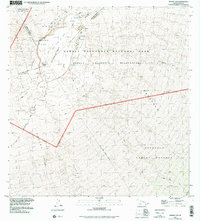
 1993 Keamuku2001 Print · USGSThe volcanic high country of the Big Island is captured in the early nineties, showing a landscape defined by ranching, military training, and recreation. Local historians can trace the paths of Lightning Trail, the limits of the Keāmuku Lava Flow, and the grounds of the Kilohana Girl Scout Camp.
 - 1993 Map of Kokoolau, 2001 Print
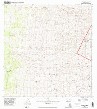
 1993 Kokoolau2001 Print · USGSThe high slopes of Mauna Loa appear in the early nineties as a landscape of active geology and federal land management. Researchers can trace decades of volcanic history through the Lava Flow of 1942 and Lava Flow of 1852 near the Mauna Loa Observatory.
 - 1993 Map of Puaakala, 2001 Print
 1993 Puaakala2001 Print · USGSUpper Hawaii Island in the 1990s is captured here as a sprawling network of conservation lands and high-altitude outposts. Genealogists and historians can trace isolated landmarks like the Kanakaleonui Cabin, Puaɶakala, and the unique Magnetic Hill.
 - 1993 Map of Makahalau, 2001 Print
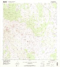
 1993 Makahalau2001 Print · USGSThe ranching uplands of Hawaii's Big Island are captured here in the early nineties, showing the interface between the South Kohala and Hamakua Districts. Genealogists and historians can trace old rock walls, corrals, and remote outposts like Makahalau and Pali'a'alii.
 - 1993 Map of Kukaiau, 2001 Print
 1993 Kukaiau2001 Print · USGSThe Hamakua Coast's steep gulches and plantation-era settlements are shown in detail during the late twentieth century. Researchers can trace land divisions like Pa'auilo Homesteads or locate smaller worker communities such as Milo Village and Akasaki Camp.
 - 1993 Map of Honokane, 2003 Print
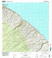
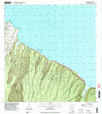 1993 Honokane2003 Print · USGSCoastal North Kohala appears here in the early nineties, showing a landscape of deep valleys and remote forest reserves. Genealogists and hikers can trace the Waimanu Trail and locate early settlements like Niuli'i and Makapala.
 - 1993 Map of West Of Kokoolau, 2003 Print
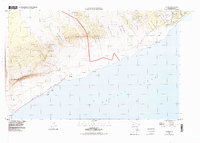
 1993 West Of Kokoolau2003 Print · USGSHigh-altitude Hawaii Island is shown at the end of the century as it transitions from traditional land divisions to military and conservation use. Researchers can trace the massive Lava Flow of 1859 and find remote access via the Bobcat Trail.
 - 1993 Map of Akaka Falls, 2003 Print
 1993 Akaka Falls2003 Print · USGSThe Big Island’s windward coast is shown here in the late twentieth century, characterized by its historic homesteading communities and deep gulches. Genealogists and historians can trace land divisions in Hakalau Homesteads and find landmarks like Akaka Falls.
 - 1994 Map of Kalapana, 1998 Print
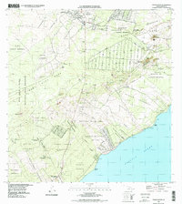
 1994 Kalapana1998 Print · USGSThe Puna coastline is captured here in the mid-nineties, showing a landscape defined by volcanic change and coastal settlement. Genealogists and historians can trace traditional land divisions like the Kupahua Homesteads and significant sites such as the Cave of Refuge (Hakuma).2 unique versions available
 - 1994 Map of Pahoa South, 1998 Print
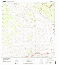
 1994 Pahoa South1998 Print · USGSThe Puna coast of the Big Island during the late nineties reveals a landscape of volcanic activity and homestead settlements. Researchers can trace the massive Lava Flow of 1955 as it meets the sea near Opihikao and Kaniahiku Village.
Showing maps 1-25 of 72
Top cities of Hawaiʻi County
Frequently asked questions
- What are the different types of historical maps available for Hawaiʻi County?
- What is the oldest map of Hawaiʻi County?
- Where can I purchase historical maps of Hawaiʻi County for my home or office?
- Where can I download high-res historical maps of Hawaiʻi County?
- Are there historical topographic maps available for Hawaiʻi County?
- Is there historical aerial imagery available for Hawaiʻi County?
- Where are historical maps of Hawaiʻi County sourced from?