2010s Maps of Hawaiʻi County, Hawaii
Explore 162 historic maps of Hawaiʻi County from the 2010s. These maps offer a rare glimpse into what life looked like during the 2010s — showing old roads, neighborhoods, homes, and landmarks that have changed or disappeared over time.
Whether you're researching your family's past, planning a metal detecting trip, or studying how Hawaiʻi County's landscape evolved across the 2010s, these high-resolution maps are a powerful tool for exploring the history of this region.
- Focus on a specific era: All maps on this page are from the 2010s, giving you a focused view of this time period.
- See what’s changed: Compare century-old streets, trails, and buildings to today's modern landscape using overlays and satellite layers.
- Research with precision: Use these maps for genealogy, historical research, land use analysis, or educational projects.
- View, download, or print: Maps are fully viewable online in high resolution, and can be downloaded or printed for your own records.
Start exploring Hawaiʻi County's history through authentic maps from the 2010s. This is your window into the past.
Hawaiʻi County, HI maps
(162)- 2013 Map of Kalapana, 2013 Print
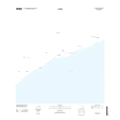 2013 Kalapana2013 Print · USGSThe southeast coast of Hawaii is documented here in the early twenty-first century, showing the intersection of ancient sites and modern volcanic roads. Researchers can locate sacred temples like Moa Heiau and Waha'ula Heiau or trace the path of Chain of Craters Rd.
 - 2013 Map of Puulehua, 2013 Print
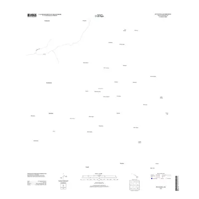 2013 Puulehua2013 Print · USGSThe Pu‘ulehua region of the Big Island is shown here in the early twenty-first century, a landscape of ranching and deep volcanic history. Researchers can trace the paths of the Judd Trl and Kaukohoku Trl or locate the Pu‘ulehua Ranch and Kahelepo House.
 - 2013 Map of Kalapana OE E, 2013 Print
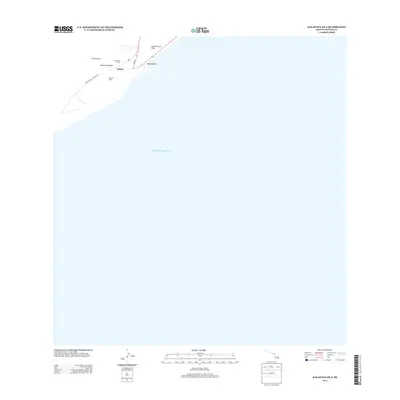 2013 Kalapana OE E2013 Print · USGSThe Puna coastline of the Big Island appears here in the early twenty-first century, showing a landscape shaped by ancient volcanic activity. Researchers can locate cultural landmarks such as Niukukahi Heiau and trace the extent of the Lava Flow of 1750 near Kaimū.
 - 2013 Map of Kalalua, 2013 Print
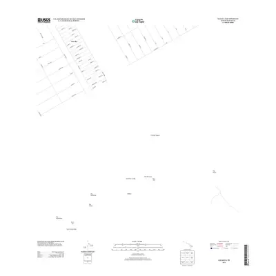 2013 Kalalua2013 Print · USGSThe residential grids of the Puna district meet active volcanic terrain in the early twenty-first century. Researchers can trace the development of Eden Roc and its named streets alongside the natural landmarks of the East Rift Zone and Pu'u 'O'o.
 - 2013 Map of Kaunene, 2013 Print
 2013 Kaunene2013 Print · USGSThe upland terrain of Hawai‘i County in the early twenty-first century reveals a landscape of remote camps and pastoral outposts. Researchers can trace the layout of Gaspars Dairy, find the locations of Hāpu‘u Camp, and locate water sources like Komakawai Waterholes.
 - 2013 Map of Mahukona OE N, 2013 Print
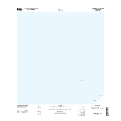 2013 Mahukona OE N2013 Print · USGSThe northwestern coast of the Big Island is captured here in the early twenty-first century, dominated by the Pacific. Researchers can identify the location of the sacred Mookini Heiau and the shoreline near Limukoko Point and Ulolu Point Rd.
 - 2013 Map of Kau Desert, 2013 Print
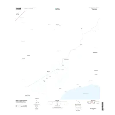 2013 Kau Desert2013 Print · USGSThe Ka'ū Desert is captured in this modern survey of the island's south coast just over a decade ago. Trace hiking routes and volcanic history through landmarks like the Lava Flow of 1920, Pepelao Cabin, and the Kamakai'a Hills.
 - 2013 Map of Volcano, 2013 Print
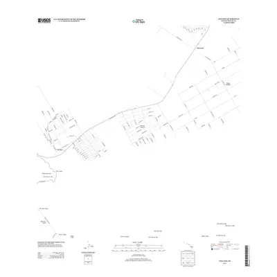 2013 Volcano2013 Print · USGSThe volcanic landscape of Hawaiʻi County is captured in detail here during the early twenty-first century. Researchers can trace the intersection of residential growth in Volcano with geological landmarks like Kilauea Iki Crater and the historic Lava Flow of 1959.
 - 2013 Map of Papa, 2013 Print
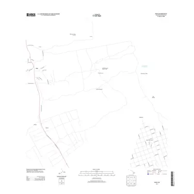 2013 Papa2013 Print · USGSThe South Kona coast is captured here in the early twenty-first century, showing a landscape defined by historic volcanic eruptions. Researchers can trace the path of the 'Ālika Lava Flow and find small settlements like Pāpā and Honomalino Camp.
 - 2013 Map of Kahuku Ranch, 2013 Print
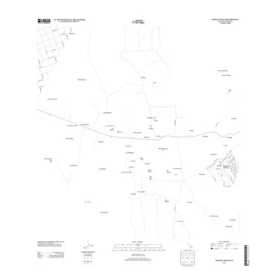 2013 Kahuku Ranch2013 Print · USGSThe southwestern slopes of Hawaii come alive in this modern survey, revealing a landscape defined by historic volcanic events. Researchers can trace the paths of the Lava Flow of 1868 and locate cultural landmarks like the Heiau o Malino.
 - 2013 Map of Kalae OE E, 2013 Print
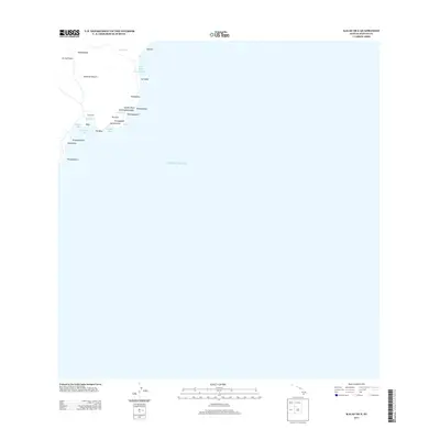 2013 Kalae OE E2013 Print · USGSCoastal Hawai'i County appears here in the early twenty-first century, showing the intricate shoreline where the island meets the Pacific. Researchers can trace traditional landmarks and coastal points like Kamilo Point, Pulehua Island, and Ka'alu'alu Bay.
 - 2013 Map of Kokoolau, 2013 Print
 2013 Kokoolau2013 Print · USGSThe high slopes of the Big Island are documented here in the early twenty-first century, centered on the vital scientific outposts and volcanic formations of the volcano. Researchers can trace the paths of historical eruptions including the Lava Flow of 1935 and locate landmarks like the Mauna Loa Observatory.
 - 2013 Map of Mauna Loa, 2013 Print
 2013 Mauna Loa2013 Print · USGSMauna Loa’s summit is documented in the early twenty-first century, showing the complex layering of historical eruptions across the caldera. Researchers can locate high-altitude shelters like Mauna Loa Cabin Summit Patrol Cabin and trace specific paths of the Lava Flow of 1926 and Lava Flow of 1949.
 - 2013 Map of Puuokeokeo, 2013 Print
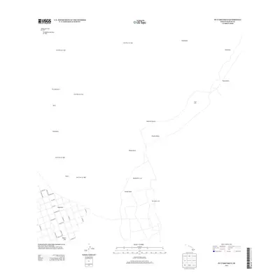 2013 Puuokeokeo2013 Print · USGSThe volcanic slopes of the Big Island are captured here in the early twenty-first century, showing the intersection of residential growth and active geology. Researchers can trace historical eruptions like the Ho‘ōpūloa Lava Flow of 1926 and locate remote landmarks such as Wright Camp.
 - 2013 Map of Mahukona, 2013 Print
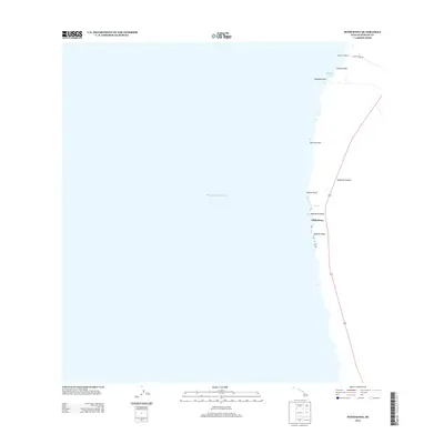 2013 Mahukona2013 Print · USGSThe northwestern Kohala coastline is documented here in the early twenty-first century as it meets the Pacific Ocean. Researchers can trace old maritime access points like Honoiipu Landing and coastal landmarks such as Māhukona and the Red Tank.
 - 2013 Map of Papaikou, 2013 Print
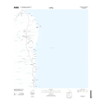 2013 Papaikou2013 Print · USGSThe Hamakua Coast’s industrial and agricultural roots are on display in this modern survey of the Pepeekeo area. Genealogists and historians can trace old company housing at Andrade Camp, the central Pepeekeo Mill, and the coastal hamlets of Honomu and Pāpaʻikou.
 - 2013 Map of Naalehu, 2013 Print
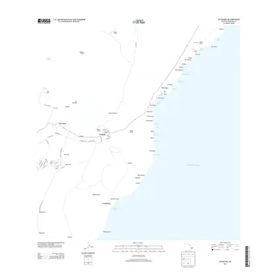 2013 Naalehu2013 Print · USGSThe Kaʻū District’s southern coastline comes into focus during the early twenty-first century, showing the enduring structure of the area's coastal settlements. Researchers can locate specific island landmarks from Kaalaiki Airstrip to the springs of Portugese Springs and the shores of Waikapuna Bay.
 - 2013 Map of Keawanui Bay, 2013 Print
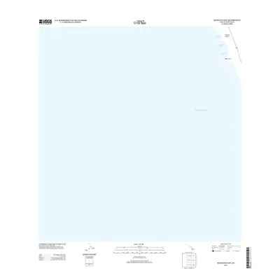 2013 Keawanui Bay2013 Print · USGSThe western Kohala coast of the Island of Hawai'i is captured here in the early 21st century. Researchers and maritime enthusiasts can trace the intricate shoreline between Keawe'ula Bay and Malae Point.
 - 2013 Map of Kiholo, 2013 Print
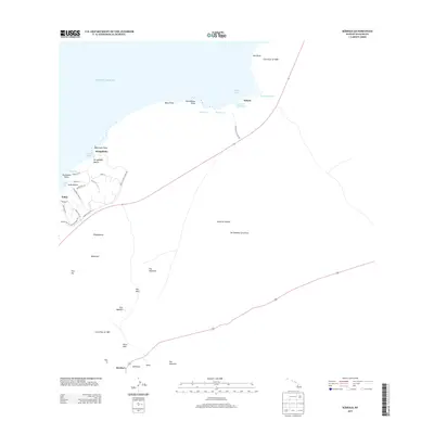 2013 Kiholo2013 Print · USGSThe West Hawaii coast is shown here in the early twenty-first century, shaped by massive historic volcanic events. Researchers can trace the path of the Lava Flow of 1859 near Kīholo Bay and locate coastal developments at Kukio and Ka‘ūpūlehu.
 - 2013 Map of Puumakaala, 2013 Print
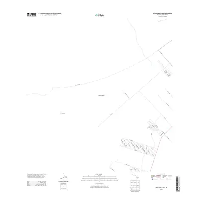 2013 Puumakaala2013 Print · USGSThe upland slopes of the Island of Hawai‘i are shown in 2013, highlighting the intersection of industrial transport and rural settlement. Researchers can trace the development of the Morihana Farm Lots and individual family tracts along Stainback Hwy and N Kulani Rd.
 - 2013 Map of Punaluu, 2013 Print
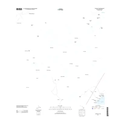 2013 Punaluu2013 Print · USGSThe Ka'u coastline of Hawaii comes into focus in this modern survey, showing the intersection of volcanic activity and historic labor settlements. Researchers can trace the Lava Flow of 1950 or locate cultural landmarks like Kaneleele Helau and Higashi Camp.
 - 2013 Map of Manuka Bay, 2013 Print
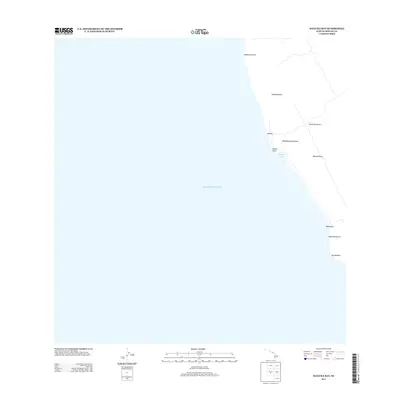 2013 Manuka Bay2013 Print · USGSThe southwest Kona coast of the Island of Hawai‘i is captured here in the early twenty-first century as it borders the Pacific Ocean. Researchers can trace the unique volcanic terrain through features like Manukā Bay and geologic kīpuka such as Kīpukakaulanamauna and Kīpukakaupua‘a.
 - 2013 Map of Puuoo, 2013 Print
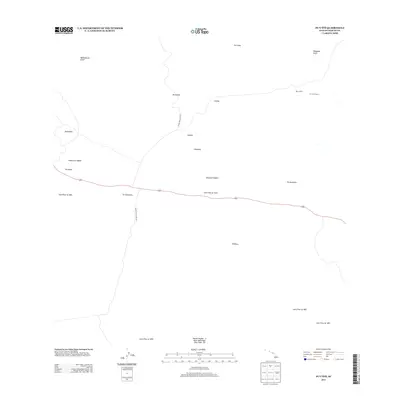 2013 Puuoo2013 Print · USGSThe high volcanic slopes of Hawaii's Big Island are captured here in the early twenty-first century, showing a landscape shaped by century-old eruptions. You can trace the intersecting paths of the Lava Flow of 1843 and Lava Flow of 1935 near the Pu'u'o'o Ranch.
 - 2013 Map of Puuulaula, 2013 Print
 2013 Puuulaula2013 Print · USGSThe volcanic landscape of Hawaii County is revealed in this modern survey through a dense record of historical activity. Geologists and local historians can trace the paths of the Lava Flow of 1881 and the Lava Flow of 1935 near Pu'u'ula'ula.
 - 2013 Map of Sulphur Cone, 2013 Print
 2013 Sulphur Cone2013 Print · USGSThe high slopes of Hawaii's southern rift are captured here during the early twenty-first century, documenting a century of volcanic activity. Researchers can trace the specific paths of the Lava Flow of 1851 and the Lava Flow of 1950 near Sulphur Cone.
Showing maps 1-25 of 162
Top cities of Hawaiʻi County
Frequently asked questions
- What are the different types of historical maps available for Hawaiʻi County?
- What is the oldest map of Hawaiʻi County?
- Where can I purchase historical maps of Hawaiʻi County for my home or office?
- Where can I download high-res historical maps of Hawaiʻi County?
- Are there historical topographic maps available for Hawaiʻi County?
- Is there historical aerial imagery available for Hawaiʻi County?
- Where are historical maps of Hawaiʻi County sourced from?