1950s Maps of Hawaiʻi County, Hawaii
Explore 38 historic maps of Hawaiʻi County from the 1950s. These maps offer a rare glimpse into what life looked like during the 1950s — showing old roads, neighborhoods, homes, and landmarks that have changed or disappeared over time.
Whether you're researching your family's past, planning a metal detecting trip, or studying how Hawaiʻi County's landscape evolved across the 1950s, these high-resolution maps are a powerful tool for exploring the history of this region.
- Focus on a specific era: All maps on this page are from the 1950s, giving you a focused view of this time period.
- See what’s changed: Compare century-old streets, trails, and buildings to today's modern landscape using overlays and satellite layers.
- Research with precision: Use these maps for genealogy, historical research, land use analysis, or educational projects.
- View, download, or print: Maps are fully viewable online in high resolution, and can be downloaded or printed for your own records.
Start exploring Hawaiʻi County's history through authentic maps from the 1950s. This is your window into the past.
Hawaiʻi County, HI maps
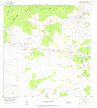
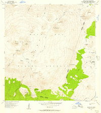
(38)- 1954 Map of Hawaii South
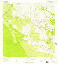
 1954 Hawaii South1954 Print · USGSThe southern reaches of the Big Island in the mid-fifties show a landscape of volcanic peaks, coastal villages, and upland timber mills. Researchers can trace the old island infrastructure through sites like Koa Mill, Hoopuloa, and the remote Mountain House.
 - 1954 Map of Hawaii North
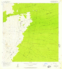
 1954 Hawaii North1954 Print · USGSThe Big Island in the mid-fifties shows a landscape of active volcanic history and a peak sugar-mill economy. Trace the route of the Hawaii Consolidated Railway, locate the Olaa Plantation Mill, and see the extent of the Lava flow of 1881 near Hilo.
 - 1956 Map of Puu Oo
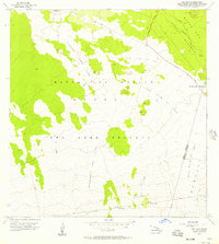
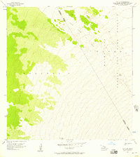
 1956 Puu Oo1956 Print · USGSThe high saddle between Hawaii's massive peaks was a landscape of remote ranching and active volcanic flows in the mid-1950s. Researchers can trace the footprints of the Humuula Sheep Station and Puu Oo Ranch alongside the Lava Flow of 1935.2 unique versions available
 - 1956 Map of Pua Akala, 1957 Print
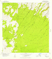
 1956 Pua Akala1957 Print · USGSThe high windward slopes of the Big Island are captured here in the mid-fifties, showing the vast transition from volcanic peaks to forest reserves. Researchers can trace remote mountain outposts like Kanakaleonui Ranger Station, the Laumaia site, and Nauhi Camp.2 unique versions available
 - 1956 Map of Puu Koli, 1957 Print
 1956 Puu Koli1957 Print · USGSThe high volcanic interior of the Big Island is captured here in the mid-fifties, showing the intersection of major historic eruptions and mountain reserves. You can trace the paths of the Lava Flow of 1843 and Lava Flow of 1935 near the Humuula Saddle.2 unique versions available
 - 1956 Map of Keanakolu, 1957 Print
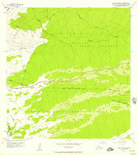
 1956 Keanakolu1957 Print · USGSThe high forested slopes of Hawaii in the mid-fifties reveal a network of remote camps and forest reserves. Researchers can trace historic mountain access via Trails to landmarks like Keanakolu, the Stone Corral, and the Puu Loa No 3 Camp.2 unique versions available
 - 1956 Map of Puu Hinai, 1957 Print
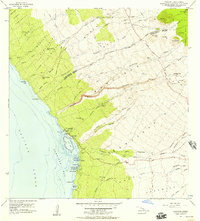
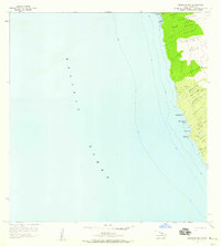
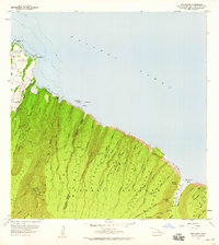
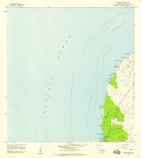
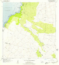 1956 Puu Hinai1957 Print · USGSThe West Hawaii coast appears in this mid-century survey before the era of modern resorts and major highways. Trace ancestral landmarks and early coastal access at Lahuipuaa, the Papakonani Boat Landing, and traditional sites like the Manoku Fishpond.3 unique versions available
 - 1956 Map of Upper Piihonua, 1957 Print
 1956 Upper Piihonua1957 Print · USGSUpper Piihonua on Hawaii Island is shown here in the mid-fifties, dominated by the massive paths of historical volcanic eruptions. Researchers can trace the specific boundaries of the Lava Flow of 1855 and Lava Flow of 1881 as they cross Saddle Road.2 unique versions available
 - 1956 Map of Puu Ulaula, 1957 Print
 1956 Puu Ulaula1957 Print · USGSHigh on the slopes of Mauna Loa in the mid-1950s, this survey tracks a century of volcanic activity across the high-altitude wilderness. Researchers can trace the paths of the Lava Flow of 1855 and Lava Flow of 1942 or locate the remote Rest House near Puu Ulaula.2 unique versions available
 - 1956 Map of Kamuela, 1957 Print
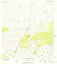
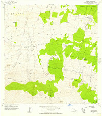
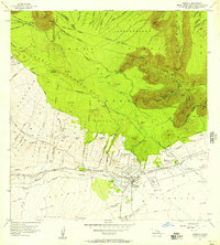 1956 Kamuela1957 Print · USGSMid-century Waimea and the surrounding Kohala highlands are captured here during a period of transition for Big Island ranching and aviation. Genealogists and historians can trace family plots in the Waimea Homesteads or locate landmarks like the Parker Ranch Racetrack and Kamuela Airport.3 unique versions available
 - 1956 Map of Keamuku, 1957 Print
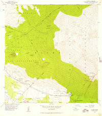
 1956 Keamuku1957 Print · USGSThe high ranchlands and volcanic fields of Hawaii's Big Island are captured here in the mid-1950s. Researchers can trace the infrastructure of Waikii and Keamuku, or locate the Kilohana Girl Scout Camp near the distinctive Keamuku Lava Flow.
 - 1956 Map of Nohonaohae, 1957 Print
 1956 Nohonaohae1957 Print · USGSThe high volcanic plateaus of Hawaii's Big Island come into focus in the mid-1950s at a time when ranching and transit infrastructure shaped the landscape. Genealogists and historians can trace old ranching assets like the Old Aali Pump Station and the strategic Saddle Road Junction.2 unique versions available
 - 1956 Map of Kulani, 1957 Print
 1956 Kulani1957 Print · USGSThe high volcanic slopes of Hawaii's interior are captured in the mid-fifties, showing a landscape defined by recent eruptions and remote outposts. Researchers can trace the Lava Flow of 1942 and locate sites like the Mauna Loa Boys School or Waiakea Camp.
 - 1956 Map of Makahalau, 1957 Print
 1956 Makahalau1957 Print · USGSThe high cattle-ranching country of the Big Island is captured in the mid-1950s, showing the intersection of the Kohala and Hamakua districts. Researchers can trace historic water infrastructure and upland outposts like Mana, the Makahalau settlement, and the local Cem.2 unique versions available
 - 1956 Map of Puu O Uo, 1957 Print
 1956 Puu O Uo1957 Print · USGSHigh on the volcanic slopes of Hawaii in the mid-1950s, this survey documents a landscape defined by the Lava Flow of 1859. Researchers can trace the district boundaries near Puu o Uo and across the Mauna Loa Game Reserve and Forest Reserve.2 unique versions available
 - 1956 Map of Kawaihae, 1957 Print
 1956 Kawaihae1957 Print · USGSThe Kohala coast of Hawaii in the mid-fifties reveals a landscape of ancient heiau and growing maritime importance. Researchers can trace the waterfront at Kawaihae, locate the historic Puukohola Heiau, and find early sites like Hoepa (Site).2 unique versions available
 - 1956 Map of Ahumoa, 1957 Print
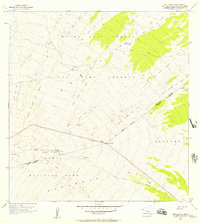
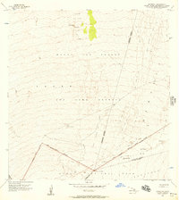
 1956 Ahumoa1957 Print · USGSThe high volcanic terrain of Hawaii Island during the mid-fifties shows the intersection of military training, conservation, and transit. Trace the early layout of Saddle Road and find landmarks like Pohakuloa Camp and the Radio Station.2 unique versions available
 - 1956 Map of Kokoolau, 1957 Print
 1956 Kokoolau1957 Print · USGSThe high volcanic slopes of Mauna Loa were documented in the mid-fifties, capturing a landscape reshaped by successive eruptions. Researchers can trace historic lava paths like the Lava Flow of 1935 and find remote sites such as the Weather Station and Pohaku Hanalei.2 unique versions available
 - 1956 Map of Mauna Kea, 1957 Print
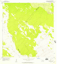
 1956 Mauna Kea1957 Print · USGSMauna Kea's summit and the surrounding high-altitude forest reserves are documented here in the mid-1950s. Trace the paths of early mountaineers and researchers through the Hale Pohaku Ranger Station, Lake Waiau, and the Keanakakoi (Ancient Quarry).3 unique versions available
 - 1956 Map of Umikoa, 1957 Print
 1956 Umikoa1957 Print · USGSThe high ranchlands of Hawaii’s Hamakua district come alive in the mid-1950s, showing a landscape defined by volcanic peaks and cattle operations. Trace the infrastructure of the mountain at Umikoa (Kukaiau Ranch), the Waikamakapo (Site), and the remote Keanakolu Road.2 unique versions available
 - 1956 Map of Naohueleelua, 1957 Print
 1956 Naohueleelua1957 Print · USGSThe volcanic terrain of Hawaii Island is meticulously detailed in the mid-fifties, showing the intersection of the North Kona and Hamakua Districts. Researchers can trace the massive Lava Flow of 1859 and find the settlement of Naohueleelua connected by remote Foot Trails.2 unique versions available
 - 1957 Map of Kukaiau, 1959 Print
 1957 Kukaiau1959 Print · USGSThe Hamakua Coast in the late fifties shows a landscape of deep gulches and emerging coastal villages. Researchers can trace the development of the Old Railroad Grade and locate family history sites like the Paauilo Cemetery and Akasaki Camp.2 unique versions available
 - 1957 Map of Keawanui Bay, 1959 Print
 1957 Keawanui Bay1959 Print · USGSNorth Kohala in the late fifties shows a landscape of ancient land divisions and maritime outposts. Trace coastal landmarks from Kaoma Pt to Malae Pt, including the Coast Guard Res and numerous historical ruins.2 unique versions available
 - 1957 Map of Honokane, 1959 Print
 1957 Honokane1959 Print · USGSThe North Kohala coast in the late fifties shows a landscape of deep valleys and vital water infrastructure. Researchers can trace the Kohala Ditch network, locate the Old USGS Camp, and explore coastal settlements like Niulii.2 unique versions available
 - 1957 Map of Mahukona, 1959 Print
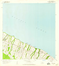
 1957 Mahukona1959 Print · USGSThe North Kohala coast in the late fifties is captured here through its ancient sites and modern maritime infrastructure. Researchers can trace land divisions from Upolu to Mahukona and locate landmarks like the Kamehameha I Birthplace and Mahukona Harbor.3 unique versions available
Showing maps 1-25 of 38
Top cities of Hawaiʻi County
Frequently asked questions
- What are the different types of historical maps available for Hawaiʻi County?
- What is the oldest map of Hawaiʻi County?
- Where can I purchase historical maps of Hawaiʻi County for my home or office?
- Where can I download high-res historical maps of Hawaiʻi County?
- Are there historical topographic maps available for Hawaiʻi County?
- Is there historical aerial imagery available for Hawaiʻi County?
- Where are historical maps of Hawaiʻi County sourced from?